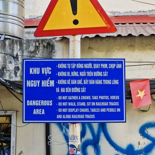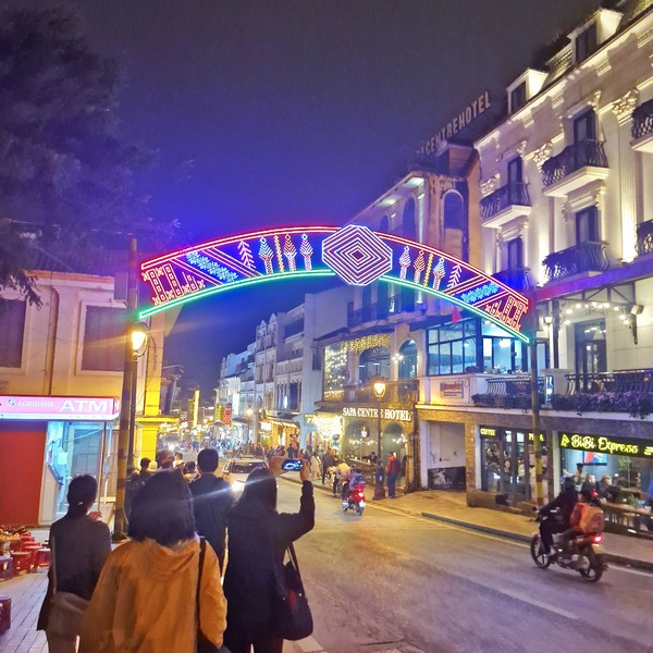
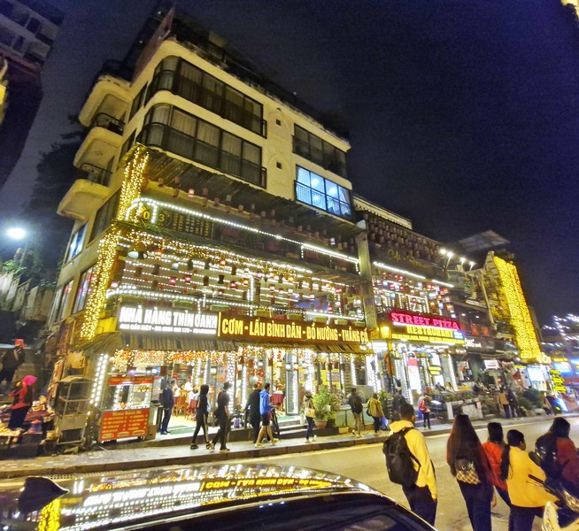
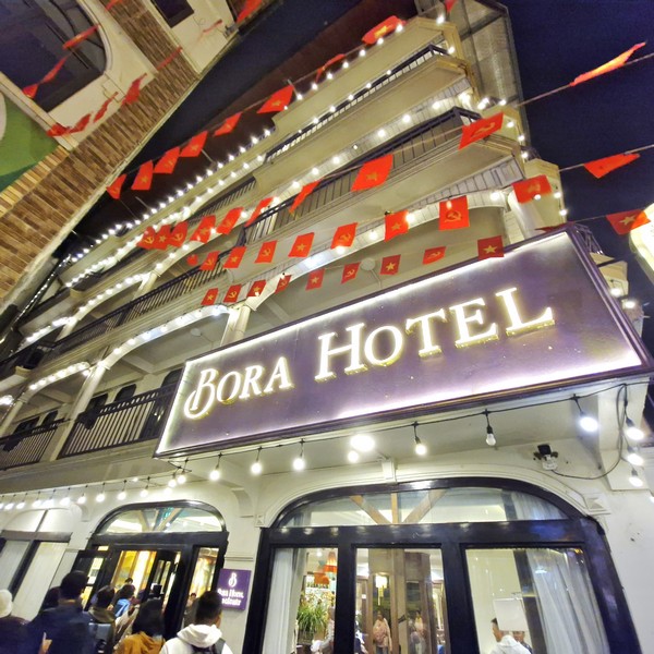
After our tour of Sapa Square and the Church of the Holy Rosary, we all proceeded to walk along the historic Cau May Walking Street, to reach Bora Hotel where we were to stay overnight. Also known as Western Street, it is nestled in the grandeur of the Northwest mountains.
Check out “Sapa Square“ and “Church of the Holy Rosary”
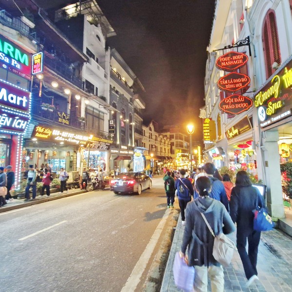
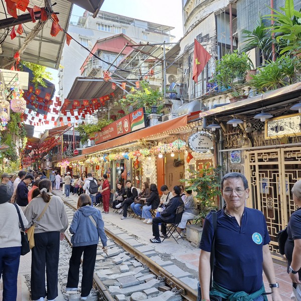
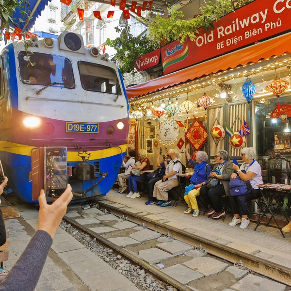
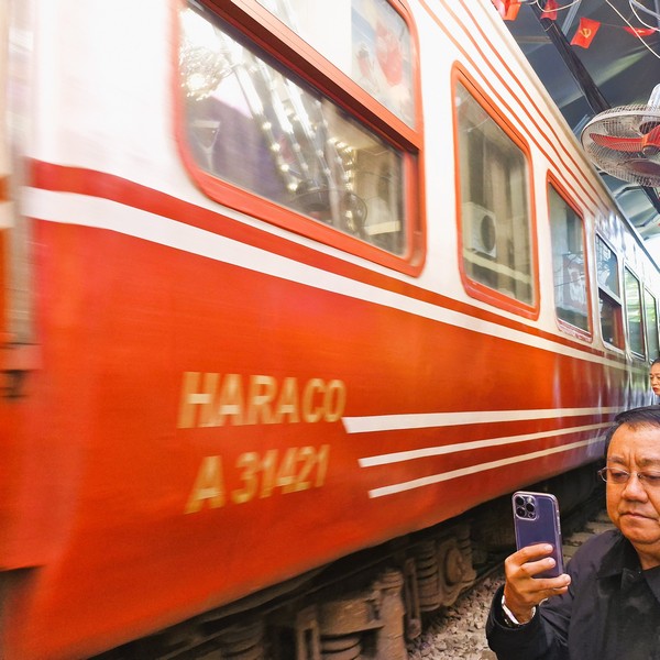
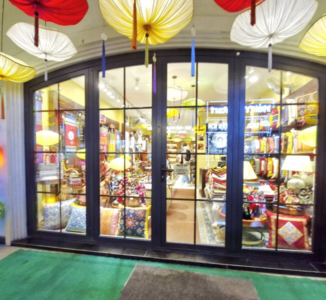
This popular and vibrant, though relatively small pedestrian-only street, in foggy Sapa town, is known for its lively atmosphere and local street food, with numerous modern restaurants, bars, cafes and 3 to 5-star hotels, and is a cultural hub where locals and tourists can interact, stroll, explore the bustling night market, sample local street food, and relax at a bar.
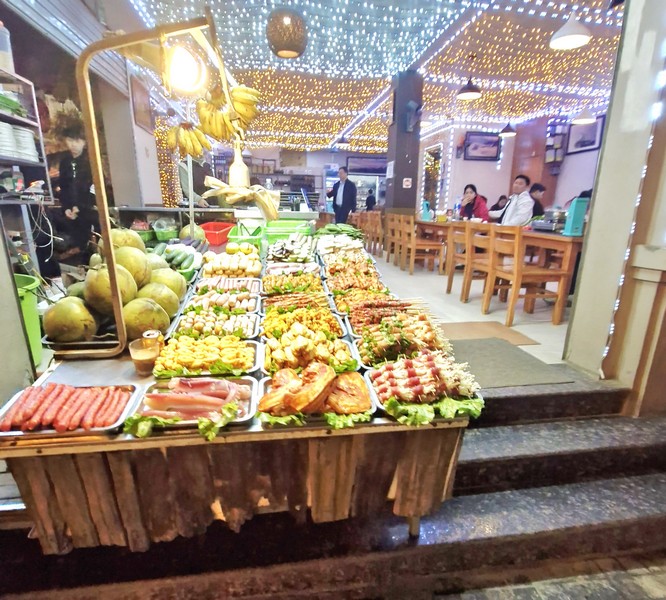
It was built in 1905, during the French colonial era as a retreat for French officials and Vietnamese locals alike, and serves as a convenient point to access other tourist spots in Sapa. At night, the street comes alive with colorful displays and many shops and stalls selling local street food and traditional handmade crafts.
Sapa’s nightlife is often described as a blend of liveliness and an atmosphere that remains more tranquil than in large cities. Visitors can enjoy a variety of delicious and high-quality local Northern Highland specialties, ranging from humble to upscale culinary experiences.
They include dishes like sour salmon hotpot, Sapa green vegetable stir-fry, grilled deer with lemongrass, local pork, honey-glazed grilled duck, hotpot with gang hot sauce, butter lemon sauce fish, Sapa mushroom and lotus seed braised chicken, thang co (a famous horse meat soup), thit trau gac bep (dried buffalo meat), xoi ngu sac (five-color sticky rice), grilled skewers (lamb and bird) and bamboo-cooked rice as well as more modern dining options.
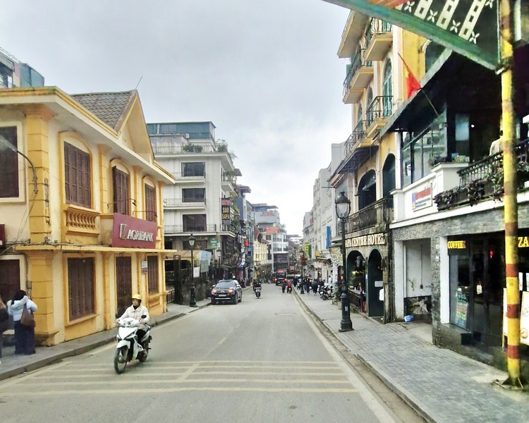
The street has a unique ambiance that harmoniously combines the allure of vintage and classic Western charm of the past century, with a touch of modernity, the captivating culture of local ethnic minorities, such as the H’mong and Tay. The street occasionally hosts cultural events and festivals that showcase the region’s heritage.
Cau May Walking Street: 19 Cau May Street, Sapa Town, Lao Cai Province.