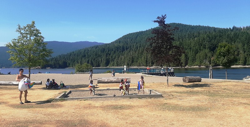
Barnet Marine Park
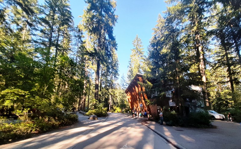
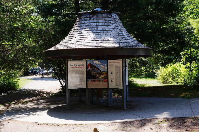
On our fourth day in Vancouver, we drove 6.6 kms. to Barnet Marine Park, a small but beautiful and popular waterfront park, where we were to enjoy an afternoon outdoor picnic with family while sitting back taking and watching the action on the south shore of the spectacular, tanker-dotted Burrard Inlet (here’s a map of the picnic area).
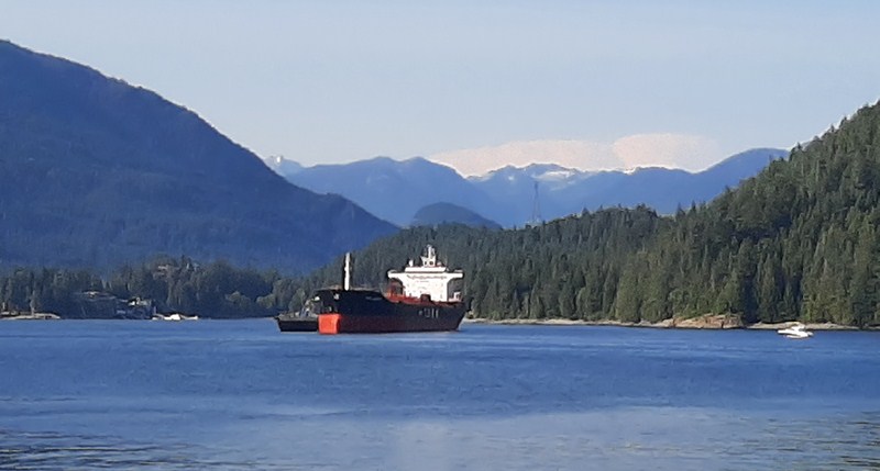
A tanker at Burrard Inlet
As it was a sunny weekend, the main parking lot was already filled so we parked at the overflow parking above the highway right next to the Air Mountain Bike Park.
Located right along the north end base of Burnaby Mountain and across Burrard Inlet from Cates Park and Vancouver’s North Shore, on an important harvesting, gathering and processing site for the Coast Salish peoples, as well as the site of a century-old logging mill camp, this spectacular foreshore park, Burnaby’s only official saltwater beach, is perfect for a stroll and has ocean and mountain views. Although small in size, the park feels large as it is long and narrow, stretching for about 1.5 kms. along the waterfront.
Barnet was formerly a thriving logging community of the North Pacific Lumber Company (later the Barnet Lumber Company), one of the largest sawmills in the British Empire. Established in 1889 (at the site of a new C.P.R. station), David MacLaren (the owner) named it “Barnet” after his wife’s family.
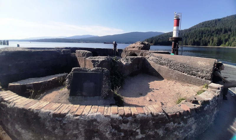
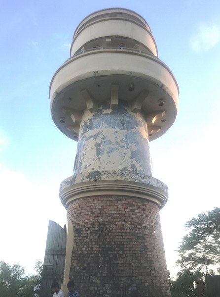
Foundation of Mill Wood Scrap Burner
Due to the Great Depression, the mill closed in 1931 and reopened in 1939 as the Kapoor Sawmills. Destroyed by fire in 1946, plans to rebuild the mill to its former scale never materialized. The community started to fade when the small replacement mill was finally dismantled in 1958.
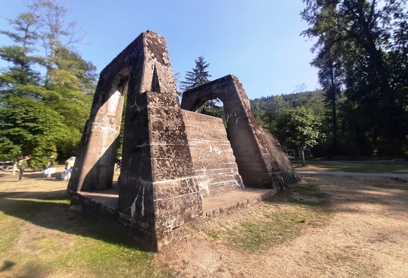
Mill Wood Scrap Burner
Here, you can still see traces of the once prosperous mill such as the mill’s scrap burner as well as the concrete and brick foundations nearby.
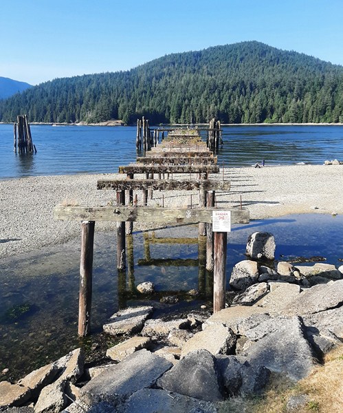
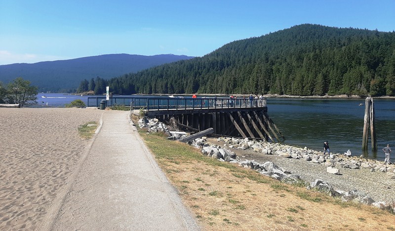
Remains of Old Wharf
On the water are the remains of the old wharf (where processed timber bound for American and Asian ports was loaded), its pylons now nesting sites for birds.
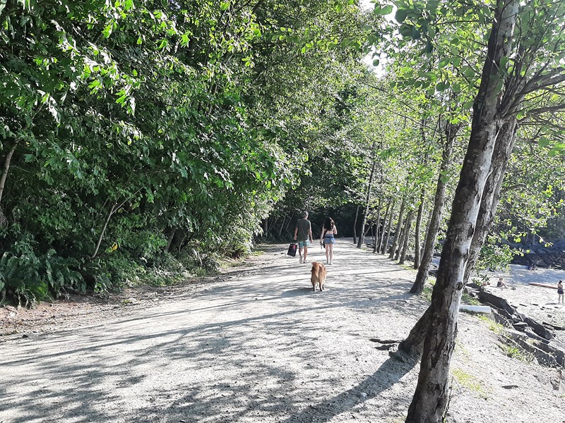
Aside from the picnic (some in the shade) site, it has a designated dog off-leash area allowing our dog Luffy to get some exercise. We had to keep your dog leashed everywhere else in the park (you also have to pick up after your dog and drop our waste bag in the designated bins). For sanitary reasons, they aren’t allowed on the beach. The sandier beach areas of the off-leash dog area are at the far west end of the park.
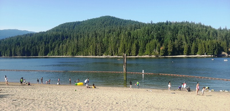
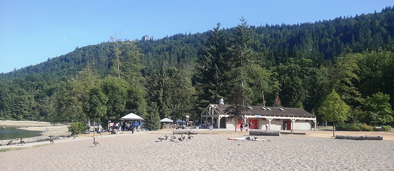
Sandy Beach
Rocky Beach
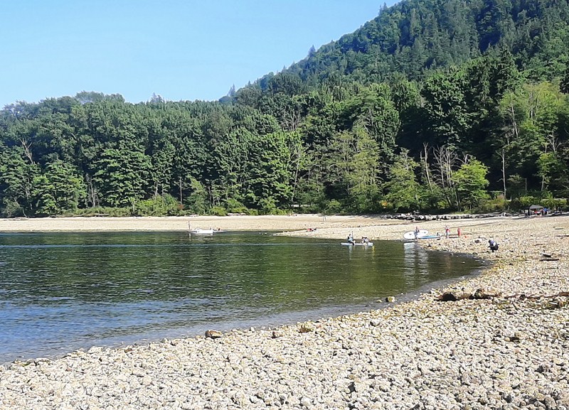
Along the shore are both rocky and nice sandy (at the far western end) beaches. The most popular beach is at the far eastern end as it’s closer to the parking lots and has both grassy and sandy areas. Wildlife to be found here includes seals, crabs, geese and herons.
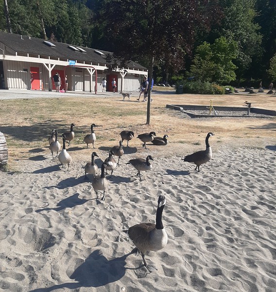
Geese
To enjoy a relaxing meal or a quick bite, there’s Park Cafe. Propane barbeques and charcoal and open-flame barbeques are also allowed at this park (you have to use the on-site ash pits to safely dispose of hot ashes).
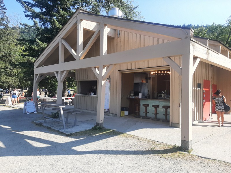
Park Cafe
Accessible washrooms and changing rooms are located in the concession building, open year-round. There are also outdoor showers for swimmers.
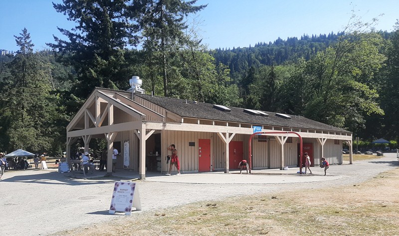
Concesson Building
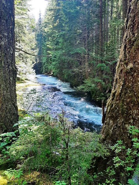
Barnet Marine Park is an excellent spot to enjoy fishing from shore (just make sure you have a license). To explore the sheltered waters of Indian Arm or the Burrard Inlet, you can launch canoes, kayaks and sailing craft on the rocky or sandy beach.
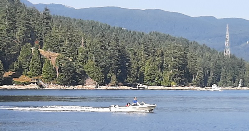
Motorboat at Burrard Inlet
On the rocky beach, Cheska, Bryan and Kyle went paddleboarding but they had to carry everything down to the beach.
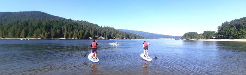
Bryan (with Kyle) and Cheska paddleboarding off the rocky beach
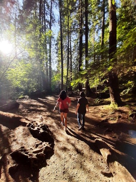
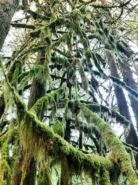
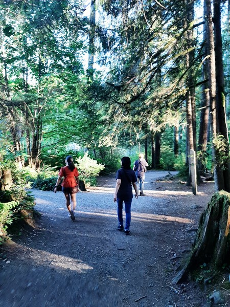
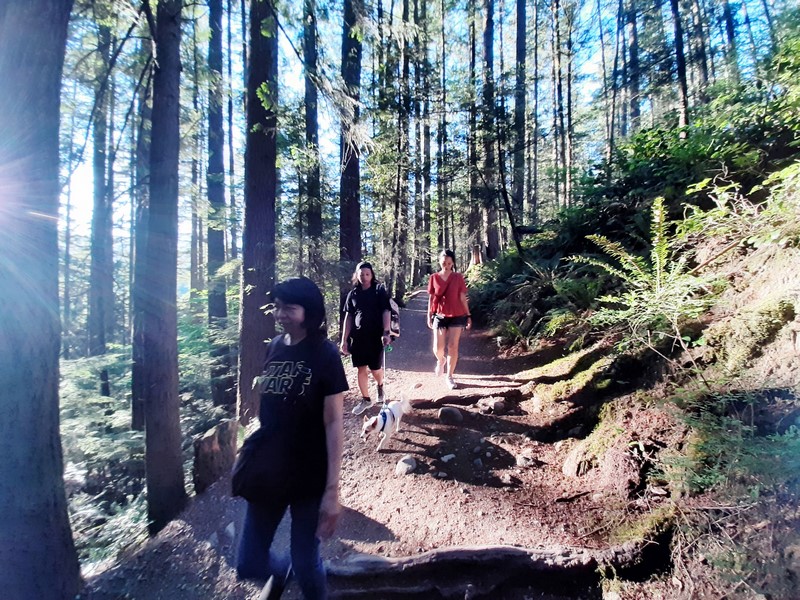
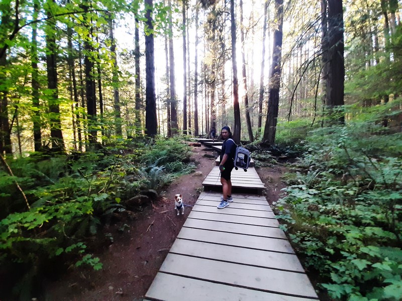
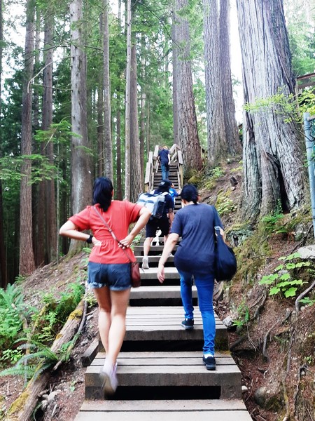
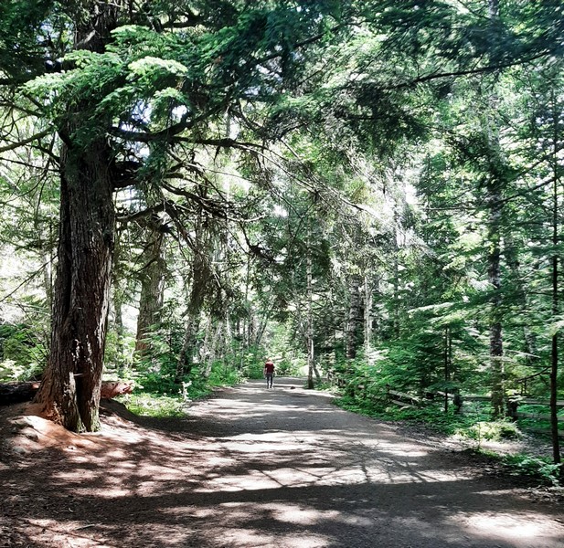
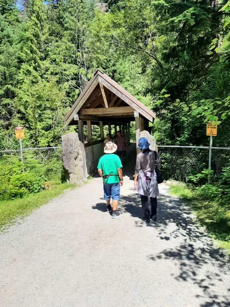
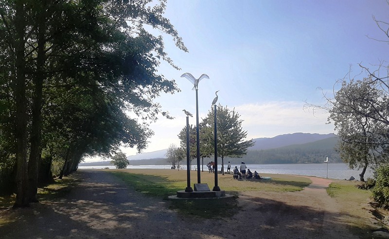
Trails here are either paved or crushed limestone, with benches available throughout. I traversed the length of Drummond’s Walk, a peaceful foreshore and upland walk named after former Mayor Douglas P. Drummond (1996-2002) in April 2006.
Start of Drummond’s Walk
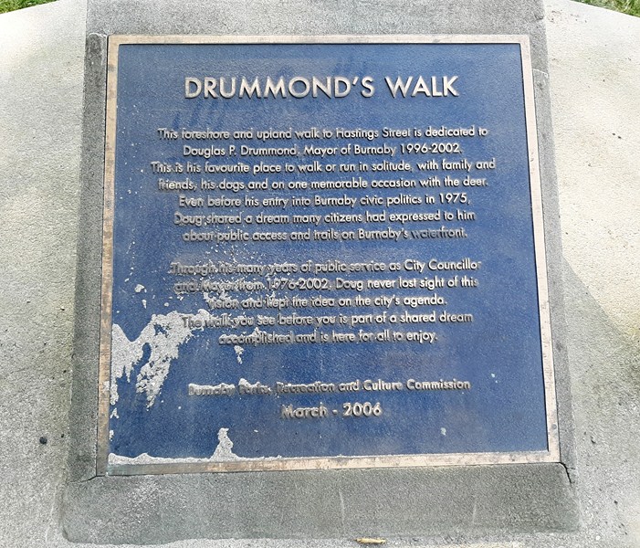
Plaque
It was his favorite place to exercise. This flat and easy trail, suitable for all ages and fitness levels, runs 1,5 kms. from one end of the park to the other.
Drummond’s Walk
Along the path, I encountered grassy lawns and a large and impressive off-leash dog zone that includes multiple waterfront beaches. Here’s a map showing all the paths in the park.
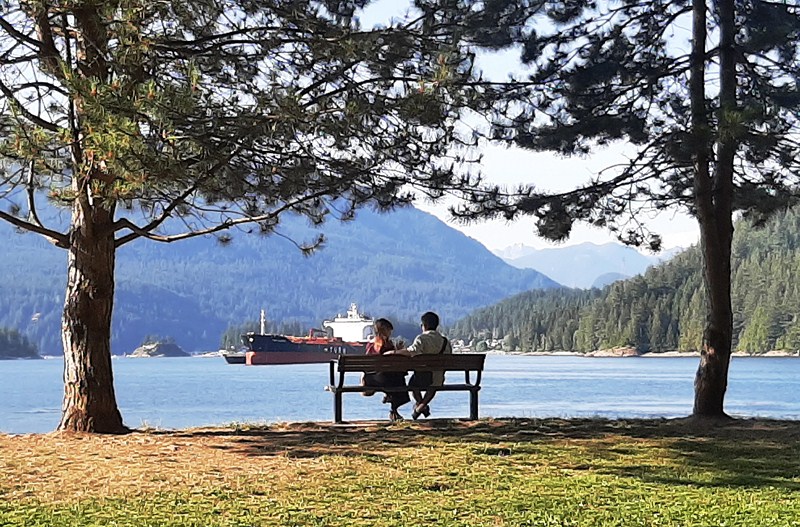
Watching tankers go by at Drummond’s Walk
Barnet Marine Park: 8181 Barnet Rd, Burnaby, BC V5A 3G8, British Columbia. General inquiries: 604-294-7450. E-mail: parksrecandculture@burnaby.ca. Website: www.burnaby.ca/explore-outdoors/parks/barnet-marine-park. Open from 7 am and closes at dusk between April and October. During May to September, the closing time changes with the increase in daylight hours. Park Café is open Friday to Sunday on ‘good weather’ days in the summer, 11:30 AM -6:30 PM. If the weather looks wet and cold, call 604-297-4888 to confirm if the café is open. Since January 1, 2022, smoking has been banned in all City parks and multi-use paths.
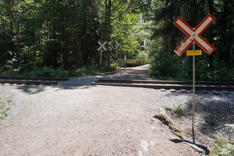
Parking: the main parking lot (download map) is located on the south side of the rail line. The north (beach) side of the rail line is pedestrian only. Don’t park on the rail line. There are 6 accessible parking stalls located east of the park entrance, closest to the beach. Additional accessible parking stalls and surface parking are available to the east and west of park entrance on a first come, first served basis.
Additional parking is available farther to the west of the park entrance and on the other side of Barnet Rd where the Mountain Air Bike Skills Course (an incredible bike skills park located just across the Barnet Highway, it features an outdoor wood pump track for beginners to advanced mountain bikers that’s free to the public) is located. Accessible parking stalls at beach levelare available Monday to Friday, 9 AM-7 PM until September 1, 2023 (excluding statutory holidays). To check availability and obtain access, call park staff at 604-319-7083. Due to safety and operational concerns when the park is very busy, all beach-level parking (including accessible parking) are not available on weekends and statutory holidays.
How to Get There: The park is about 10 kms. (a 30-min. drive) from downtown Vancouver, and a 10-min. drive from Port Moody. Travel east on Hastings Street. Keep left on Inlet Dr/Barnet Rd and turn left onto the park at Takeda Drive. Get directions.