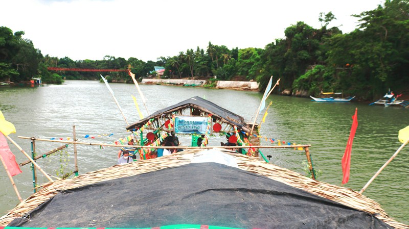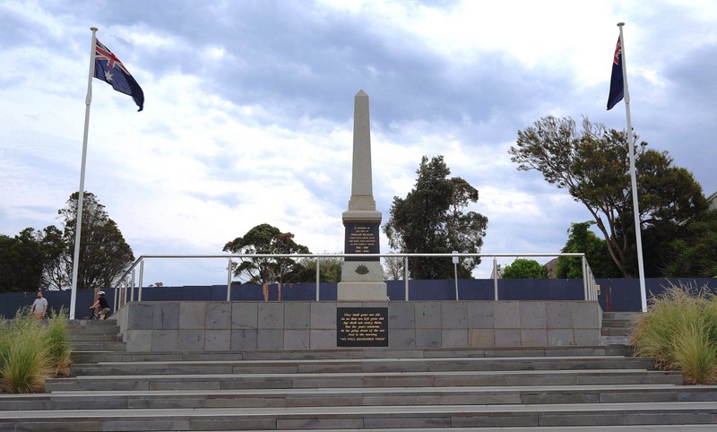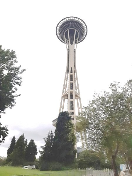
Seattle’s Space Needle
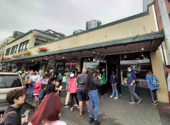
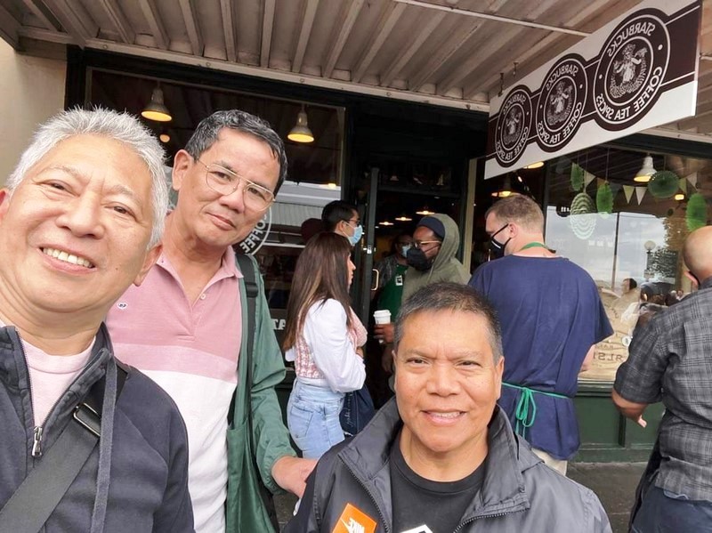
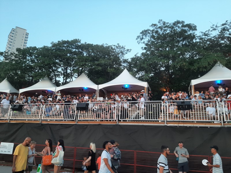
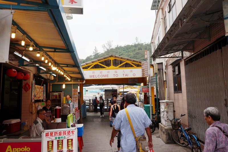
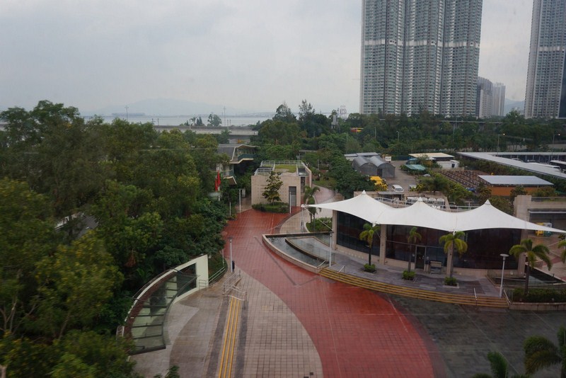
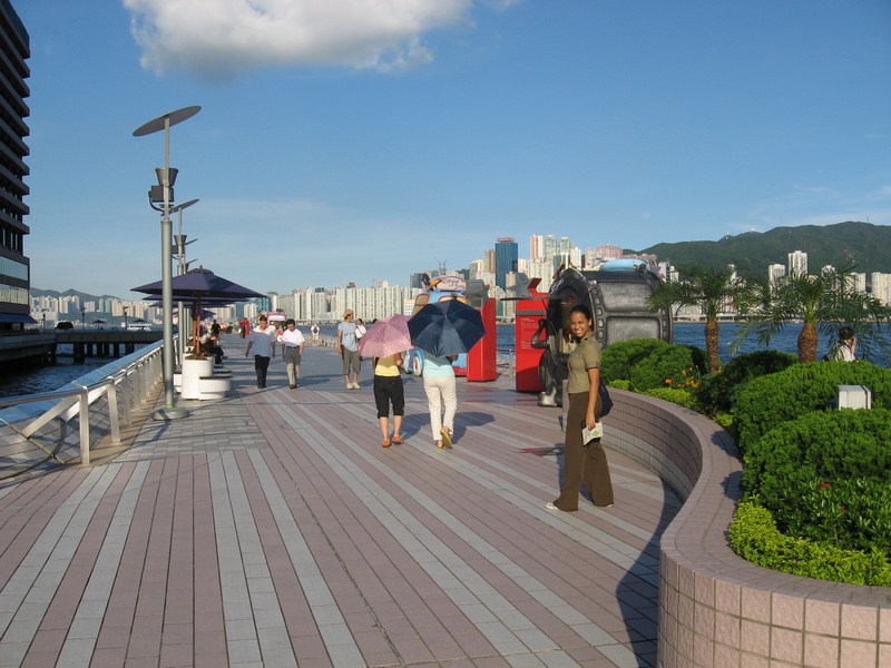
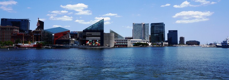
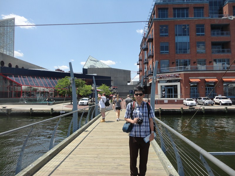
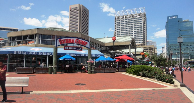
From Pike Place, Val drove Danny and I to the Seattle Center, home to Chihuly Garden and Glass, Museum of Pop Culture (MoPOP) and the Space Needle in the Lower Queen Anne neighborhood. It had already stopped raining when we arrived and the sun was again shining. We didn’t have time to explore the first two but Danny and I were excited to go up the open-air observation deck of the Space Needle 160 m.(520 ft.) above ground, our first time to do so. Val had done this a couple of times, so he just offered to wait for us till we returned.
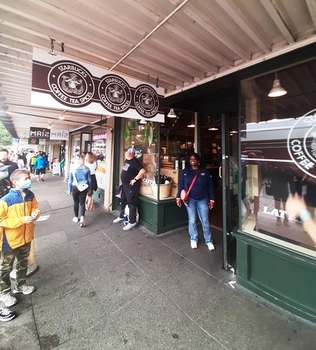
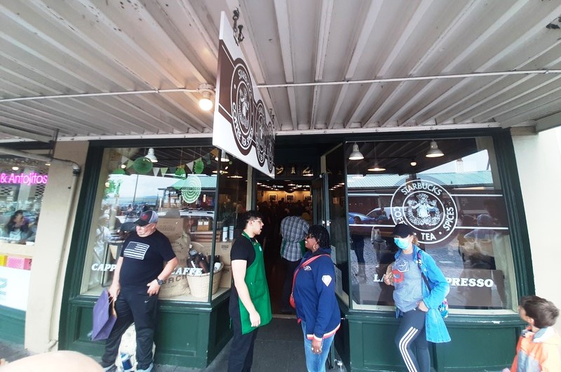
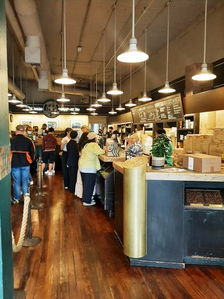
Check out “Pike Place”
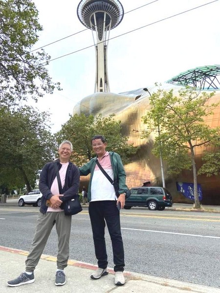
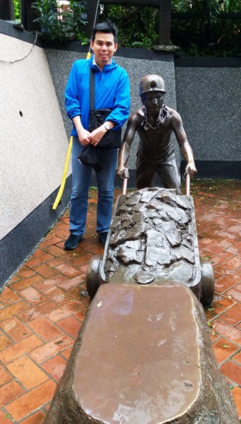
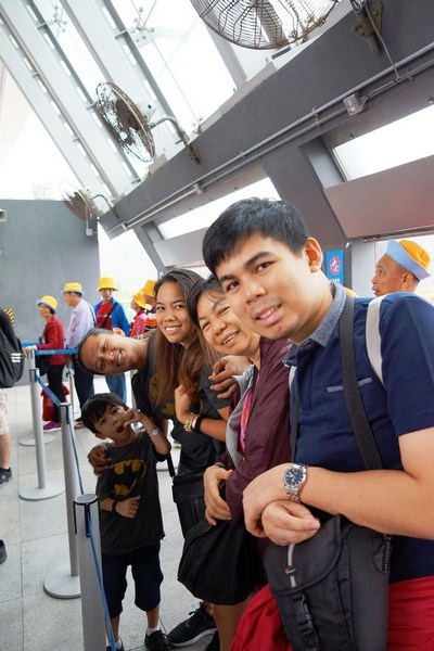
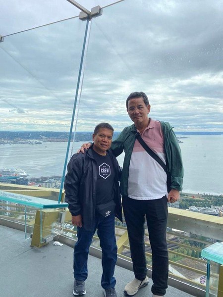
The author (right) with friend Val Salgado with the Space Needle in the background
This observation tower, a designated a Seattle landmark, is considered to be an icon of the city. Unlike many other similar structures (such as the CN Tower in Toronto), the Space Needle is not used for broadcasting purposes.The Space Needle was, upon completion by Howard S. Wright Construction Co., the tallest structure west of the Mississippi River, replacing the Smith Tower in downtown Seattle as the tallest building west of the Mississippi since 1914.Today, it is dwarfed by other structures along the Seattle skyline, among them the 295 m. (967 ft.) high Columbia Center.
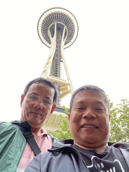
The author and Danny Macaventa
The Space Needle is 184 m.(605 ft.) high, 42 m.(138 ft.) wide and weighs 8,660 metric tons (9,550 short tons). It was built to withstand wind speeds of up to 320 kms./hr. (200 mph), double the requirements in the building code of 1962. As the Space Needle sways only 25 mm.(1 in.) per 16 kms./hr.(10 mph) of wind speed, it can also be made to withstand Category 5 hurricane-force winds.
The architecture of the Space Needle is the result of a compromise between the designs of local architect John Graham‘s concept of a flying saucer (the halo that houses the restaurant and observation deck)and the sketch (on a napkin) of Edward E. Carlson (president of a hotel company and chairman of the 1962 World’s Fair in Seattle)which depicted a giant balloon tethered to the ground (the gently sloping base). The hourglass profile of the tower was introduced by Victor Steinbrueck.
Carlson,inspired by a recent visit to the Stuttgart Tower of Germany, also had an idea for erecting a tower with a restaurant at the World’s Fair. As a result of his success in designing Northgate Mall, architect John Graham soon became involved, altering the restaurant’s original design to a revolving restaurant, similar to his previous design of the La Ronde tower restaurant at the Ala Moana Shopping Center in Hawaii.From April 1, 1962, to April 1, 1982, the revolving restaurant was operated by Western International Hotels, of which Carlson was President, under a 20-year contract.
Built for the 1962 World’s Fair(which drew over 2.3 million visitors, with 20,000 people a day riding the elevators to the Observation Deck during the course of the Fair), the construction of the Space Needle was privately financed and built by the Pentagram Corporation (consisting of Bagley Wright, contractor Howard S. Wright, architect John Graham, Ned Skinner, and Norton Clapp).
With time an issue, the construction team worked around the clockand the Space Needle was finished in less than one year. The Space Needle had to withstand earthquakes of up to 9.0 magnitude (as strong as the 1700 Cascadia earthquake) so its earthquake stability was ensured when a hole was dug 9.1 m.(30 ft.) deep and 37 m.(120 ft.) across, and 467 concrete trucks took one full day to fill it. The foundation weighs 5,310 metric tons (5,850 short tons), including 230 metric tons (250 short tons) or of reinforcing steel, the same as the above-ground structure. The structure is bolted to the foundation with 72 bolts, each one 9.1 m.(30 ft.) long.
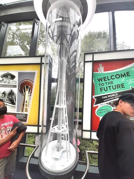
A scaled model of the Space Needle at the Building the Marvel” Exhibit
The domed top, housing the top five levels (including the restaurants and observation deck), was perfectly balanced so that the restaurant could rotate with the help of one tiny electric motor, originally 0.8 KW (1.1 HP), later replaced with a 1.1 KW (1.5 HP) motor. A grand spiral entryway(shown in a 1962 Seattle World’s Fair poster), with 848 steps from the basement to the top of the observation deck leading to the elevator, was ultimately omitted from final building plans. For paint colors, Orbital Olive was used for the body, Astronaut White for the legs, Re-entry Red for the saucer and Galaxy Gold for the roof.
During the World’s Fair, an imitation carillon (using recordings of bells, rather than live bells),built by the Schulmerich Bells Company of Hatfield, Pennsylvania under the name “Carillon Americana,” was installed in the Space Needle and played several times a day. The instrument, recreating the sounds of 538 bells, was the largest in the world until it was eclipsed by a 732 bell instrument at the 1964 New York World’s Fair.
Another scaled model of the Space Needle at the ground floor Gift Shop
The operator’s console, located in the base of the Space Needle, was completely enclosed in glass to allow observation of the musician playing the instrument. Also capable of being played from a roll, like a player piano, the 44 stentors (speakers) of the carillon were located underneath the Needle’s disc at the 61 m.(200-ft.) level, and were audible over the entire fairgrounds and up to 16 kms. (10 mi.) away. After the fair’s close, the carillon was disassembled. The “Carillon Americana,” featured on a 12-track LP record (called “Bells On High-Fi,” catalog number AR-8, produced by Americana Records, of Sellersville, Pennsylvania), was recorded in a studio and performed by noted carillonneur John Klein (1915-1981).
Here is the historical timeline of the Space Needle:
- In 1961, investors discovered and bought (for $75,000) a suitable lot, measuring 37 by 37 m. (120 by 120 ft.), containing switching equipment for the fire and police alarm systems, for the proposed Space Needle site (it had no pre-selected site since it was not financed by the city and land had to be purchased within the fairgrounds).
- In April 1962, the Space Needle was completed at a cost of $4.5 million.
- On April 21, 1962, the last elevator car was installed the day before the Fair opened.
- In 1963, a radio broadcast studio was built, used for morning broadcasts by Radio KING and its sister TV station KING-TV from July 1963 to May 1966, and KIRO Radio from 1966 to 1974, on the observation level of the Space Needle.
- On March 27, 1964, as a result of the 9.2 earthquake in Alaska, the restaurant atop the Space Needle stopped rotating.
- For six months in 1974, disc jockey Bobby Wooten of country music station KAYO-AM lived in an apartment built adjacent to the Space Needle’s broadcast studio, requiring a permit variance from the city government.
- On March 4, 1974, Paul D. Baker committed suicide by jumping from the Space Needle, the first person to do so.
- On May 25, 1974, Mary Lucille Wolf also jumped from the tower.
- In 1977,Bagley Wright, Ned Skinner and Norton Clapp sold their interest to Howard S. Wright who now controls it under the name of Space Needle Corporation.
- On July 5, 1978, in spite of the installation netting beneath and improved fencing around the observation deck, Dixie Reeder was able to commit suicide.
- In 1982, the SkyLine level was added at the height of 30 m.(100 ft.).
- In 1992, the University of Washington (UW) Huskies football team logo was painted at the tower after the team won the 1992 Rose Bowl.
- In 1993, the elevators were replaced with new computerized versions that descend at a rate of 16 kms./hr. (10 mph).
- In 1995, when the game show Wheel of Fortune taped episodes in Seattle, it was painted to resemble the titular wheel as part of an intro sequence with Vanna White.
- On April 19, 1999, the city’s Landmarks Preservation Board designated the tower a historic landmark.
- On December 31, 1999, the Legacy Light or Skybeam, a powerful beam of light, was unveiled for the first time.
- Between 1999 and 2000, renovations included the SkyCity restaurant, SpaceBase retail store, Skybeam installation, Observation Deck overhaul, lighting additions and repainting.
- In 2000, renovations were completed at a cost ($21 million) approximately the same in inflated dollars as the original construction price.
- In 2000, the Space Needle Restaurant (originally named Eye of the Needle) and the Emerald Suite, the two restaurants 150 m.(500 ft.) above the ground at the hovering disk of the Space Needle, were closed to make way for SkyCity, a larger restaurant that features Pacific Northwest cuisine.
- In 2000, because of perceived terror threats against the structure after investigations into the foiled millennium bombing plots, public celebrations were canceled but the fireworks show was still performed.
- In 2001, the 6.8 Mw Nisqually earthquake jolted the Space Needle enough for water to slosh out of the toilets in the restrooms.
- From September 11, 2001, to September 22, 2001, in response to the September 11, 2001, attacks, the Legacy Light (or Skybeam) remain lit for eleven days in a row.
- In 2002, to promote tourism, a real estate consultant in Bellevue proposed the construction of five smaller replicas of the Space Needle around the city though official plans to build the proposed structures have not yet materialized.
- On May 19, 2007, the Space Needle welcomed its 45 millionth visitor, Greg Novoa from California, who received a free trip for two to Paris.
- In May 2008, since the opening of the 1962 World’s Fair, the Space Needle received its first professional deep cleaning by being pressure washed by Kärcher with water at a pressure of almost 2,611 psi (18,000 kPa) and a temperature of approximately 194 °F (90 °C). In consideration of the Seattle Center and the nearby Experience Music Project, no detergents were used and the cleaning was only done at night so that the Space Needle could stay open to the public.
- In April 2012, as part of the celebration of its 50th anniversary, the Needle was painted “Galaxy Gold”, which is more of an orangish color in practice. This is the same color used when the needle was originally constructed for the 1962 World’s Fair. This temporary makeover was only intended to last through the summer.
- In the summer of 2017, a renovation of the top of the Space Needle, called the Century Project,began. An all-glass floor was added to the restaurant, the observation platform windows were replaced with floor-to-ceiling glass panels (to more closely match the 1962 original concept sketches) and the internal systems were upgraded and updated. The work, tocost $100 million in private funds provided by the Wright family (owners of the Space Needle),was scheduled to finish by June 2018. The designer is Olson Kundig Architects and the general contractor is Hoffman Construction Company. The rotating restaurant’s motor was replaced, the elevator capacity was increased by adding elevators or double-stacking them and,with the aim of achieving LEED Gold Certification, the energy efficiency of the building was improved. The temporary scaffold’s 13,000 kg.(28,000 lbs.), 4,148 sq. m. (4,650-sq. ft.) platform under the top structure, made by Safway Services (a company specializing in unique construction scaffolding),was assembled on the ground, and then lifted by cables 150 m.(500 ft.) from the ground to the underside of the structure, controlled by 12 operators standing on the platform as it was raised. So that the Space Needle was never completely shut down to the public, only one-sixth of the observation deck was closed at a time.
- In August 2018, the Space Needle reopened as the Loupe, an indoor observation deck with a revolving glass floor that takes 45 mins. to do a full rotation. Two sets of stairs called the Oculus Stairs,named after the glass oculus at the base of the stairs where the Space Needle elevators can be seen ascending and descending,were added to connect the two new additional levels. A café, wine bar, more restrooms, and an additional accessibility elevator to the top observation deck were also added.
- In 2020, the fireworks display was canceled because of high winds, with a laser light show being used at midnight instead.
- In 2021, the fireworks show was cancelled due to the COVID-19 pandemic and replaced by a broadcast-only augmented realitypresentation on KING-TV.
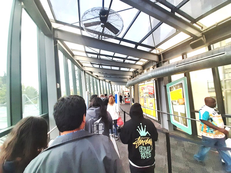
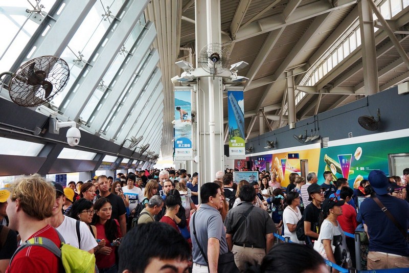
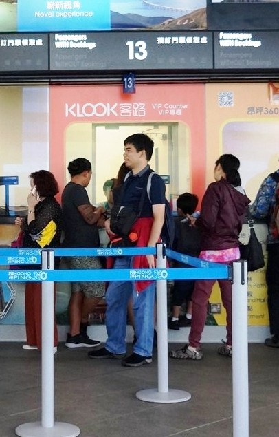
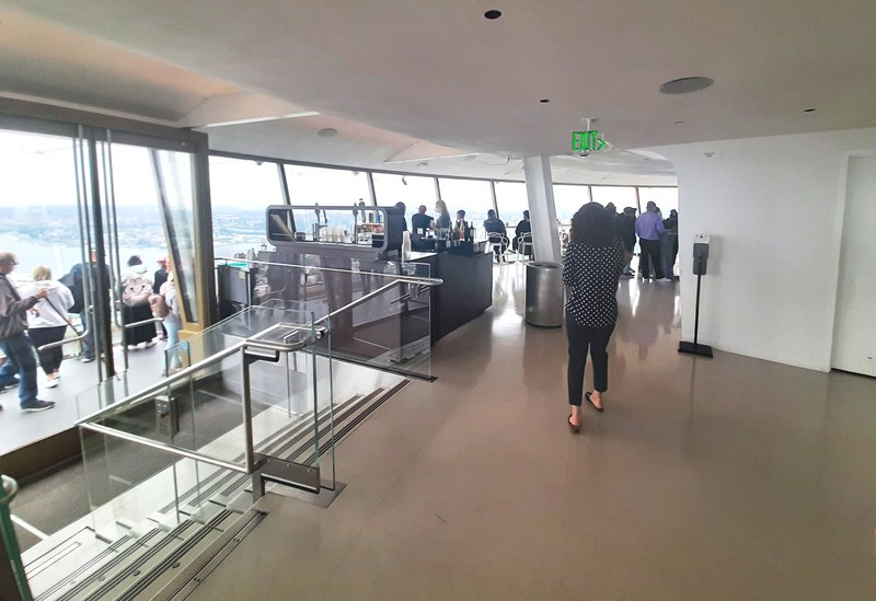
The queue at the Mezzanine Level
The Space Needle, a visual symbol of Seattle and of the Pacific Northwest, has made numerous appearances in films (It Happened at the World’s Fair in 1962, The Parallax View in 1974, Sleepless in Seattle in 1993,Austin Powers: The Spy Who Shagged Me in 1999, Chronicle in 2012), TV shows (Frasier, Grey’s Anatomy, Dark Angel, Bill Nye the Science Guy, etc.), and other works of fiction, often being used in establishing shots as an economical means to tell the audience the setting is Seattle, and has been incorporated into the logos of NBA, WNBA, MLS, and NHL professional sports teams.
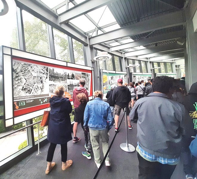
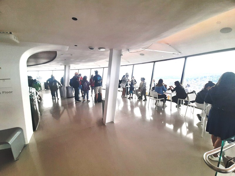
Queuing past the “Building the Marvel” Exhibit
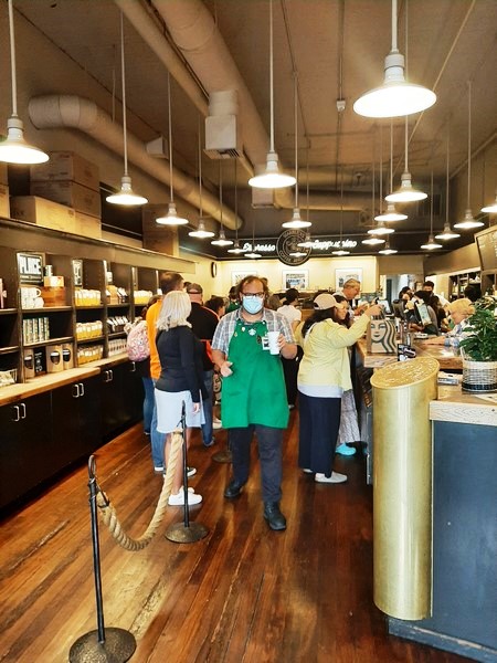
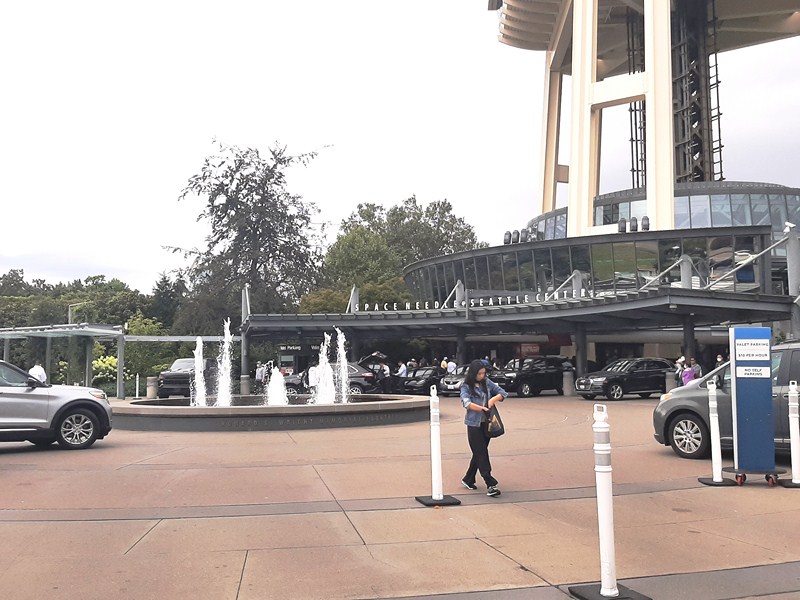
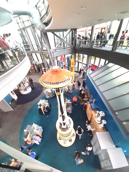
After paying the admission fee, we joined the queue of visitors at the mezzanine level (overlooking the gift shop below) waiting for the three elevators (two of them high speed), which can each accommodate 25 people, to take us up the inside observation area. As it was the summer month, there was a bit of a line as the number of visitors usually climbs to well over a thousand a day. While waiting for our turn, along the line was the “Building the Marvel Exhibit,” a custom exhibit installed in April 2016, of compelling images, interactive experiences, and fun and historical memorabilia that tells the story of how the Space Needle’s conception and construction. There are also miniature replicas of the Needle, showing the construction’s progress, plus cool vintage advertisements, posters of the Words fair and clippings from magazine articles praising this architectural marvel.
Inside the 25-pax elevator
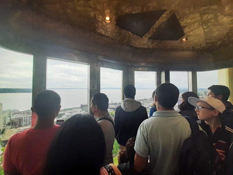
Once inside the elevator, it took us 42 seconds to reach the top, travelling at a rate of 10 mph (or 880 ft. per min.). Stepping out of the elevator into the inside observation area, we had awe-inspiring and dramatic views of the downtown Seattle skyline, front and center, with buildings shimmering in the sun.
The Inside Observation Area
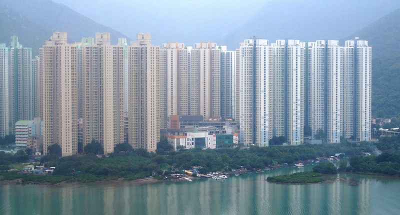
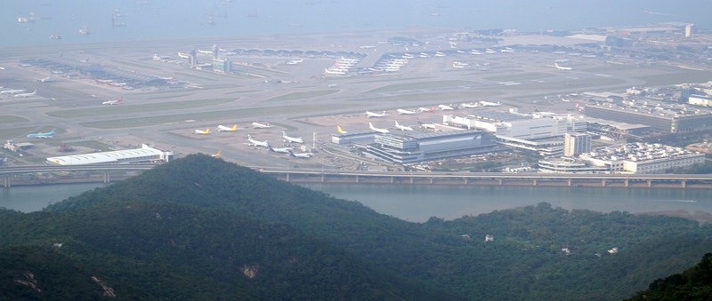
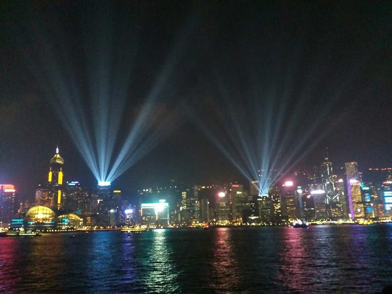
Seamless floor-to-ceiling glass walls gave us unobstructed, 360-degree sights of the region – Lake Union, the Olympic and Cascade Mountains, Mount Rainier, Mount Baker, the inky waters of Elliott Bay, the ever-popular Great Wheel along the waterfront, and various islands in glittering Puget Sound, with ferries floating around On a clear day, the flat top of snow-capped Mt. St. Helens can be seen in the distance.
The Inside Observation Area
From the inside observation area, Danny and I stepped out of the door (one of 12) into the open observation deck which was already filled with tourists taking photos and selfies. Here, we had a more unparalleled experience with a unique, uninhibited bird’s-eye view of the abovementioned landmarks, protected by a series of 11 ft. tall and 7 ft. wide glass panels (which replaced the old wire cages) starting at the floor and tilting outwards. Lining the edge of the panels are new glass benches, following the angle of the transparent walls, designed at a slant, a perfect, jaw-dropping selfie spot that makes you feel like you are hanging in the air, floating above Seattle.
Danny and the author at the Open Observation Deck
On our way back down, an elevator attendant took the time to point out locations of interest to us, sharing some historical landmark facts and answering questions. Our elevator had windows where we could watch our rapid descent. Soon the doors opened and we disembarked into the gigantic gift shop at the ground floor before exiting the building. Every year on New Year’s Eve, the Space Needle celebrates with a fireworks show at midnight that is synchronized to music. Alberto Navarro, a fireworks artist from Bellevue, is the lead architect of the show, which is viewed by thousands from the Seattle Center grounds.
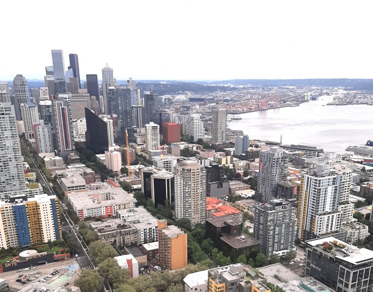
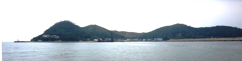
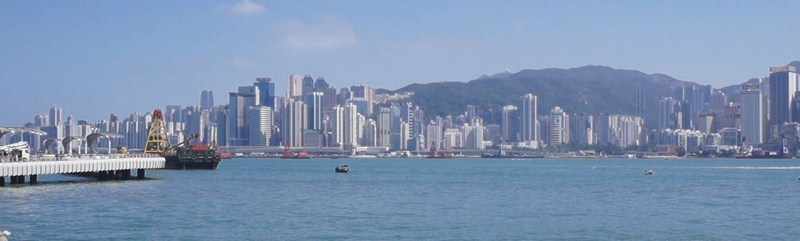
View of the city skyline
To honor national holidays and special occasions in Seattle, the Legacy Light (or Skybeam), derived from the official 1962 World’s Fair poster (which depicted such a light source although none was incorporated into the original design), is lit. Powered by lamps that total 85 million candela shining skyward from the top of the Space Needle, it was originally planned to be turned on 75 nights per year but it has generally been used fewer than a dozen times per year as it is somewhat controversial because of the light pollution it creates.
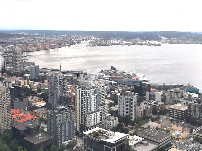
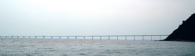
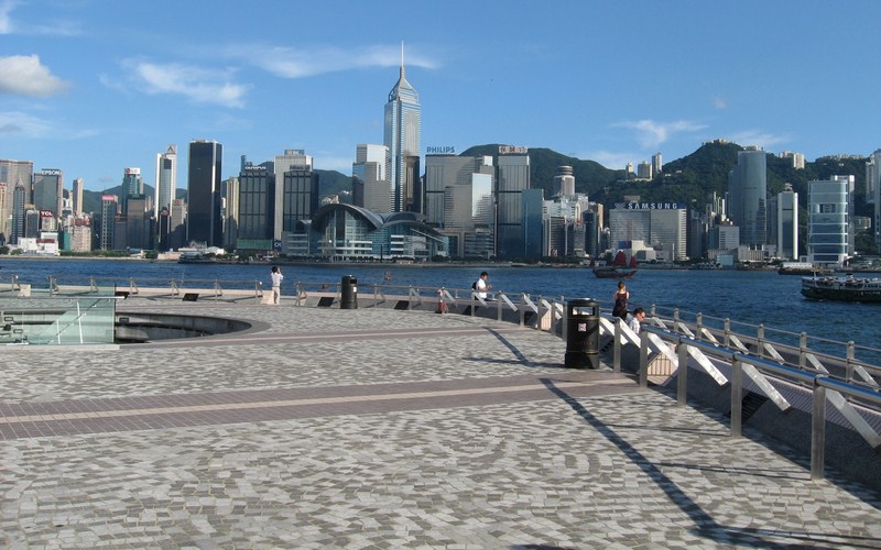
View of Puget Sound
Since its opening, six (four of them part of an authorized promotion in 1996, withone of them got injured and broke a bone in her back while attempting the stunt) parachutists have leaped from the tower in a sport known as BASE jumping which is legal only with prior authorization (the other two jumped illegally and were arrested).
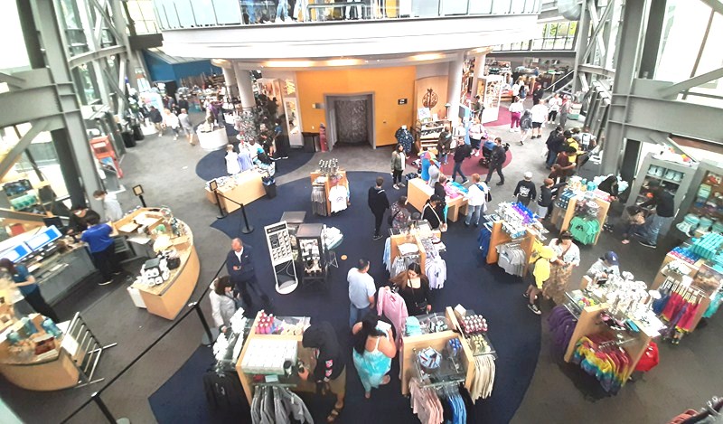
The Gift Shop
Seattle Needle: 400 Broad Street, Seattle, Washington 98109. Tel: (20) 905-2100. E-mail: guestservice@spaceneedle.com. Website: www.spaceneedle.com. General admission:: US435 – 39 (regular, ages 13 -64), US$30 -33 (senior, aged 65+) and US$26 – 29 (youth, ages 5 – 12). Open daily, 10 AM to 9 PM (Sundays to Fridays) and 9 AM to 9 PM (Saturdays). Coordinates: 47.6204°N 122.3491°W