Kampong Ayer – The Water Village
This Water Village (Malay: Kampung Air), along the banks of the Sungai Brunei (Brunei River), is an area situated over Brunei Bay that is home to a sizable population of 39,000, representing roughly 10% of the nation’s total population. The district, a culturally important part of Brunei that preserves the nation’s river dwelling origins, has a unique architectural heritage of wooden homes with ornate interiors.
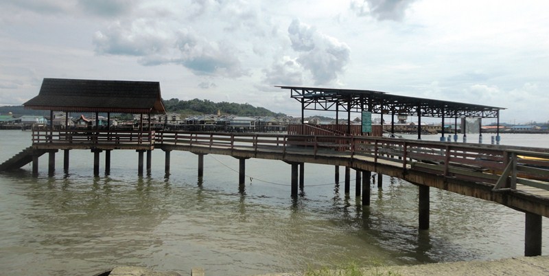
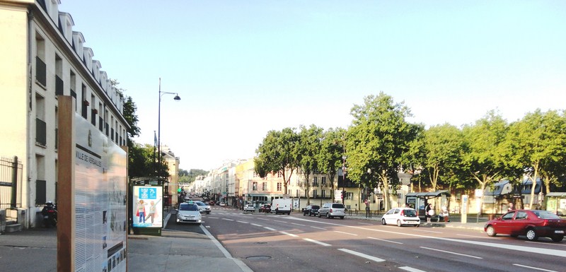
The mainland jetty
Built entirely of stilt houses and wooden walkways, it is the world’s largest water village and the most famous water settlement of Southeast Asia. One of the most important centers of trade in Borneo, people have lived in Kampong Ayer for over 1,300 years. When the fleet of Ferdinand Magellan visited in 1521, Venetian scholar Antonio Pigafetta dubbed it the “Venice of the East.” Kampong Ayer has been the capital of the Brunei Sultanate for hundreds of years.
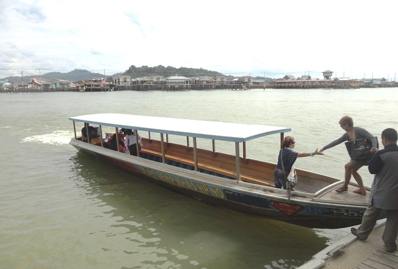
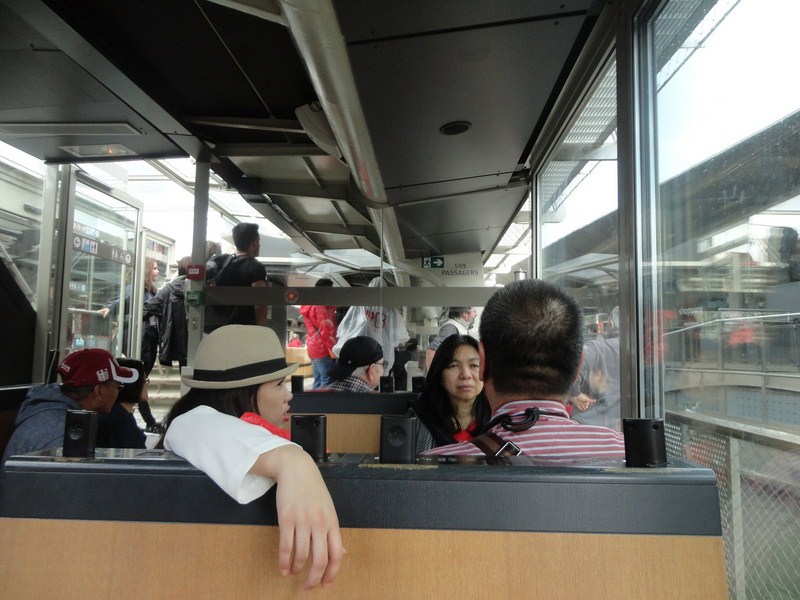
Boarding our modern-looking, 20-pax bot penambang (covered water taxi)
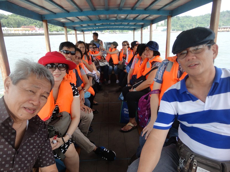
The author (right) with members of BEAT (led by president Mr. York Virtucio at left) on board our water taxi
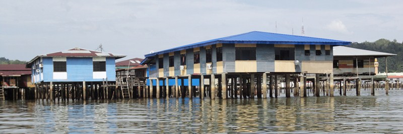
The establishment of the land town, acting as a population magnet, did not lead to its depopulation and arrival of new residents and natural increase maintained the population balance. Most of Kampong Ayer had survived heavy World War II bombardment. Around 2013-2014, smart new, two story stilt houses made of concrete were built in the center of the Kampong Ayer and given to the people in need of a new house but not wishing to live on land. Even today, many Bruneians still prefer the lifestyle of the water village to residency on dry land.
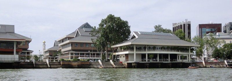
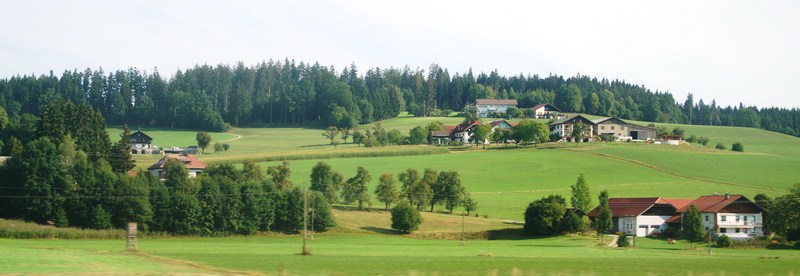
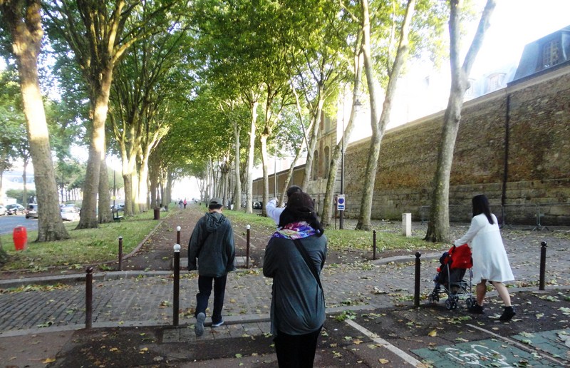
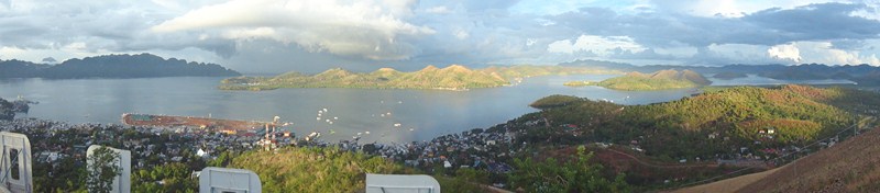
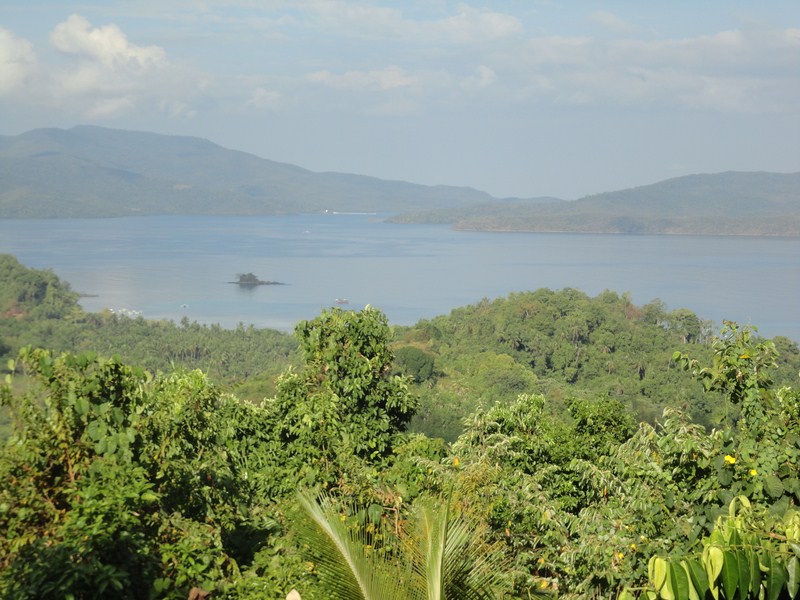
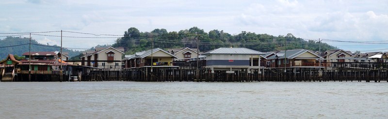
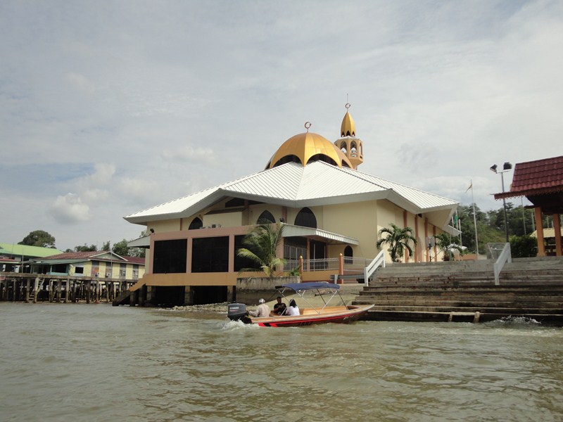
View of the mainland
The villages on the river’s north bank (the same side as the city center) used to cover a much larger area, but many of the stilt houses have been razed to spruce up the waterfront area around the Sultan Omar Ali Saifuddien Mosque.
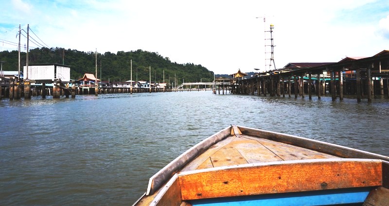
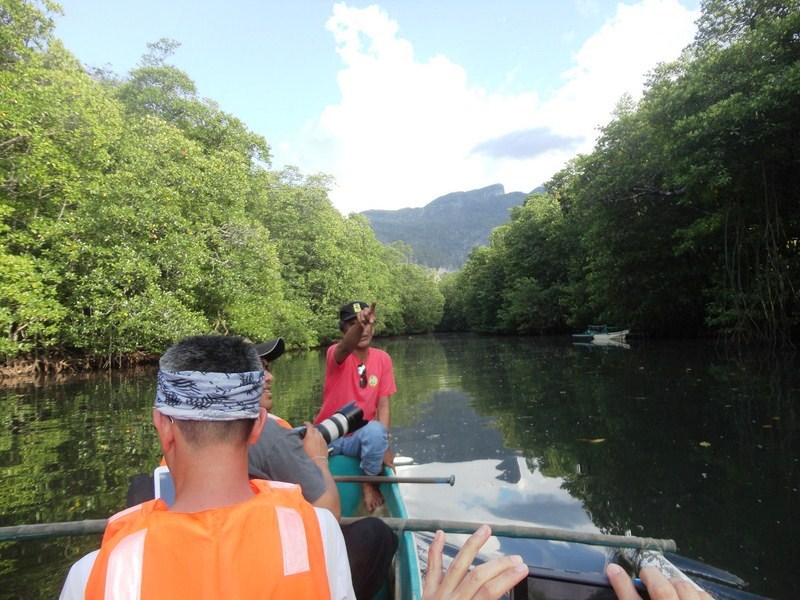
Entering the narrow waterway
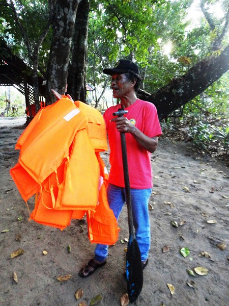
We were to have a personal experience of this heritage as we took one of the many 20-pax bot penambang (modern-looking, covered water taxis) that provide rapid transit daily between the Yayasan Sultan Haji Hassanal Bolkiah, in the center of town, and the water village itself. Our private water taxis resembled a long wooden speedboat. Before leaving the jetty, we all wore life jackets.
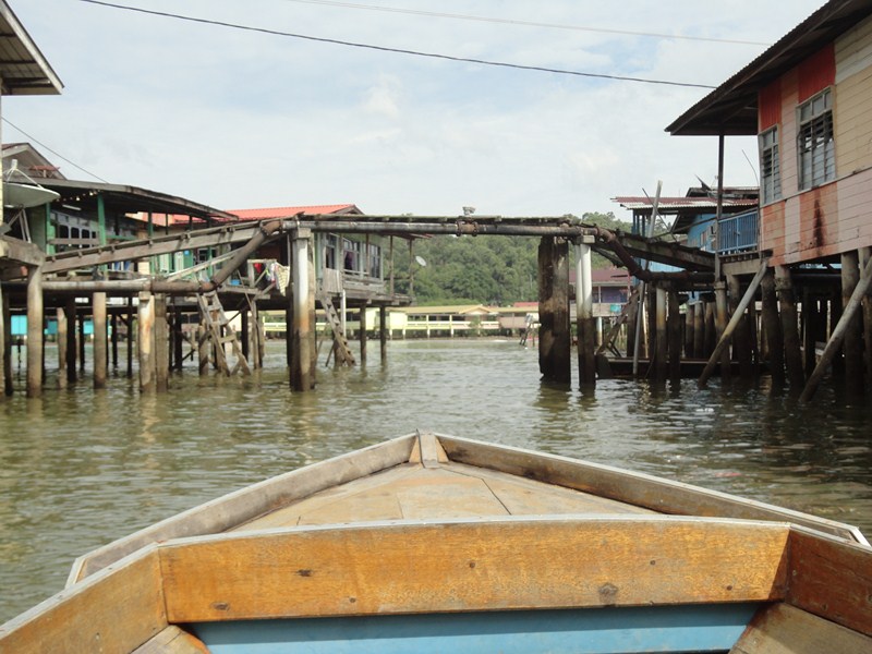
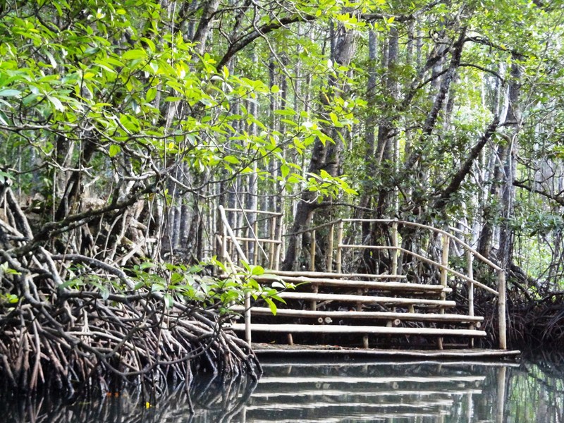
A foot bridge
The Water Village is really made up of a cluster of 42 small, contiguous and relatively cramped stilt villages (kampongs) linked together by more than 29,140 m. of foot-bridges.
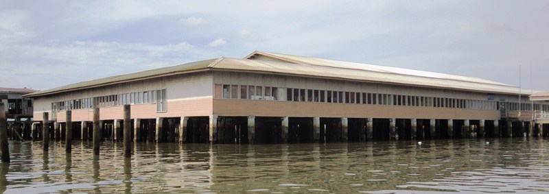
This self-contained, close-knit community consists of over 4,200 structures, including homes, mosques, restaurants, shops, schools and a hospital, all interconnected by maze of 36 kms. of boardwalks. All of the six water village mukims (districts) are collectively known as the water village (Kampong Ayer) but, for administrative purposes, are identified as separate mukims.
One of two mosques
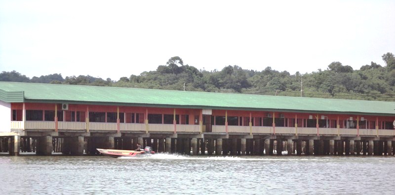
The marine fire brigade
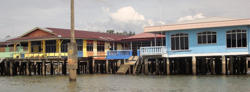
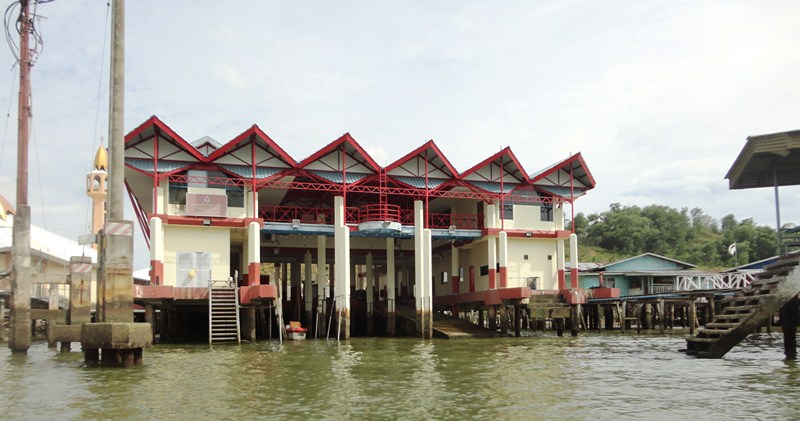
From a distance the water village looked like a slum but it actually enjoys modern amenities. The government, through the District Office, has provided it with numerous facilities including foot-bridges, concrete jetties, piped water, plumbing, electricity, telephones, schools, two mosques, clinics, seafood restaurants, a police station, a museum and a marine fire station.
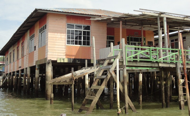
A colorfully painted house on stilts
Many of the houses also have air conditioning, satellite television and internet access. Some of the residents even keep potted plants, in container gardens, and raise chickens. They even say that if you look at the main roads on the banks opposite the village, you’ll see luxury cars lined up on the shoulder of the road. Many of these cars belong to water-village residents.
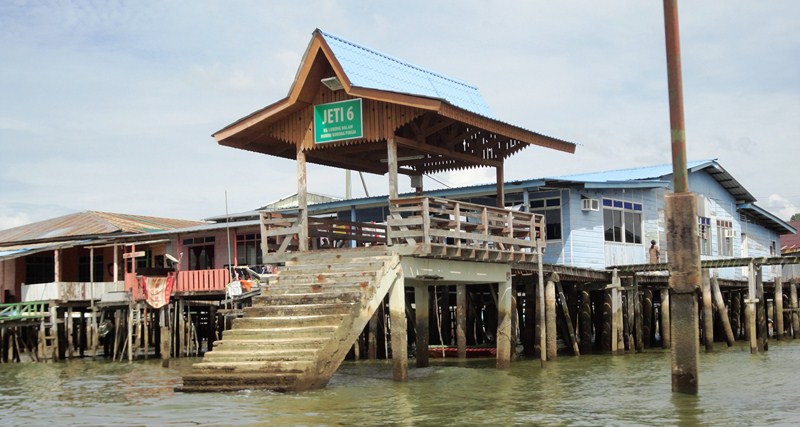
A village jetty
The wooden, sun-bleached houses, painted with shades of green, blue, pink and yellow, have not been done-up for tourists. From afar, we could see the 30 km. long Temburong Bridge, which is still under construction (it is expected to be completed in 2019), and the golden roof of the largest residential place in the world, the Sultan’s Istana Nurul Iman. We made our first and only stopover at a village jetty. Getting off the boat was an adventure on its own as we had to climb some worn-out concrete steps.
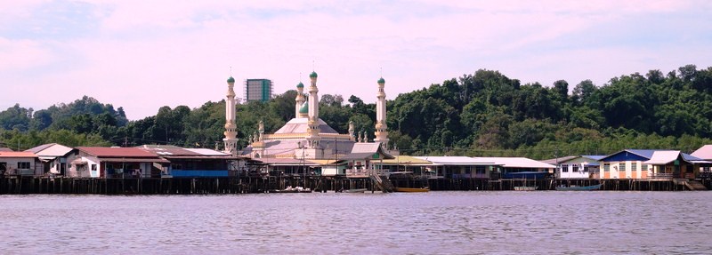
A second mosque
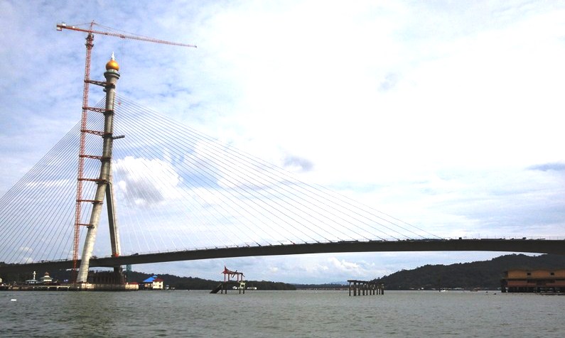
The unfinished Temburong Bridge
Upon reaching the top of the jetty, we walked along a treacherous, banister-less boardwalk, some with loose or missing planks, again another adventure by itself. Walking along these planked walkways (a bit of balance is required) while observing the various homes is probably what draws visitors here. However, while the houses were far from squalid, we noticed rubbish floating or carpeting the inter-tidal mud at low tide. For an apparently affluent country like Brunei which could afford to tidy it up, it was disgusting and disappointing.
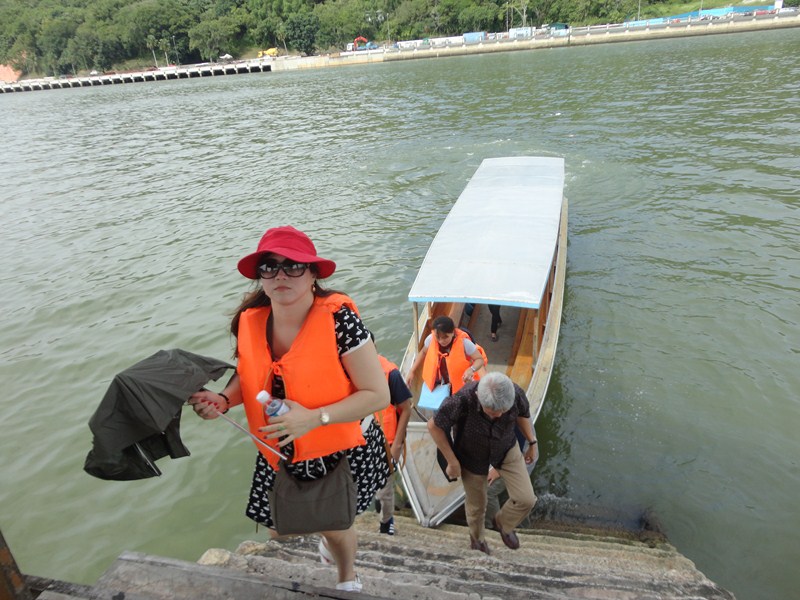
Climbing the stairs up the jetty
We finally arrived at a local concrete home which was way too nice to be anything close to an authentic village house. The entry hall even had a chandelier. Just like in a mosque, we had to remove our shoes before entering. Inside, there were lots of tourists like us. Obviously, it’s part of the tourist trail. There, a good refreshment was served – 3 kinds of colorful kuih bingka, a local traditional sweet cake, plus tea. Our snack here capped our Water Village tour and we again made our back to our boat for the trip back to the mainland.
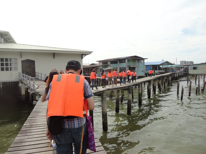
Traversing the wooden boardwalk
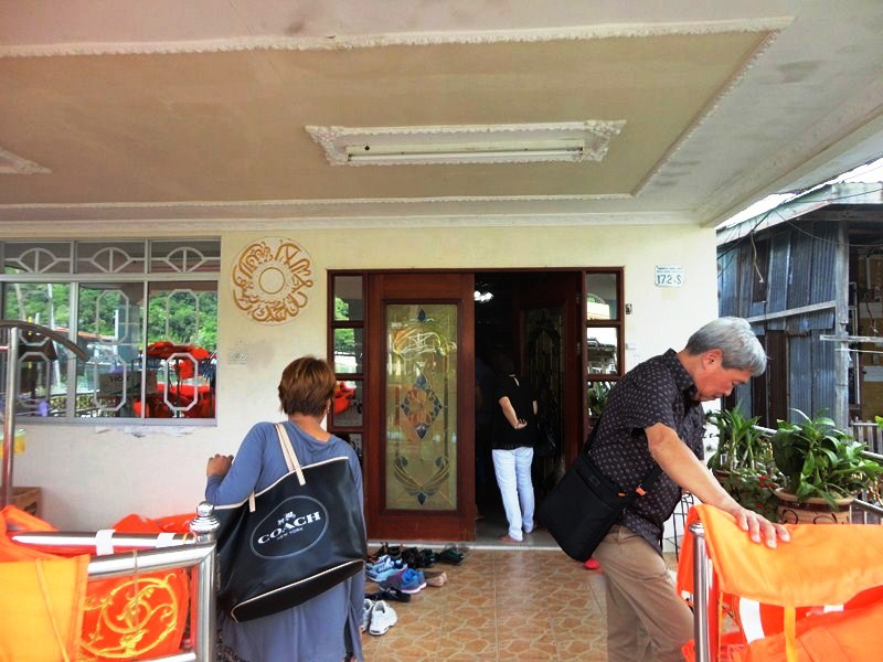
Removing our shoes prior to entering
Our tour of the nondescript Kampong Ayer wasn’t really a visit into the past. Rather, it was just a peek into the everyday lives of some very friendly Bruneians while seeing some of the changes that has taken place over the last thousand years or so. Interesting but not amazing. Venice it isn’t by a mile.
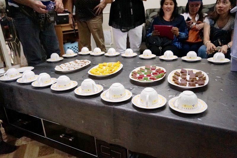
Three different kinds of kuih bingka
Kampong Ayer: Bandar Seri Begawan, Brunei. Kampong Ayer is accessible by boat or land bridges. To get across the river, just stand somewhere where a water taxi can dock and flag one down (the fare is B$1, one way). To get to these villages from the Yayasan Complex, itself built on the site of a one-time water village, follow the plank walks, behind the Hua Ho Department Store, that lead west, parallel to the river.