
It was already midway in the afternoon when we finished our lunch at Cortijo de Palsabangon Farm Park & Restaurant and, according to Lurhen, we had to leave now if we were to catch the boat and avoid the low tide at Pagbilao Wharf (also known as Daungan) in Sitio Kalawit. Up ahead was the piece de resistance of our Appsline Travel-sponsored Lucena-Pagbilao Media Tour – the Pagbilao Islands.
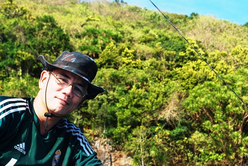
Author at Pagbilao Grande Island
Upon arrival at Daungan, our huge 25-pax outrigger boat was already waiting for us. Here, we met up with Mr. Celedonio “Dionnie” Dapla, member of the town’s tourism council and former head of the DENR Mangrove Experimental Forest. We were supposed to visit Dionnie’s forest-farm and nursery in Brgy. Pinagbayanan but, as it was already late in the day to do so, he just saw us safely off.

L-R: The author, Lurhen, Dionnie, Rannie and Mel at Daungan
Mel, Maichel, Angela, Lurhen (with her son Marxus), Rannie and I were soon on our way, cruising the river, passing thick patches of mangrove forests along the way before heading out into Pagbilao Bay and the open sea.
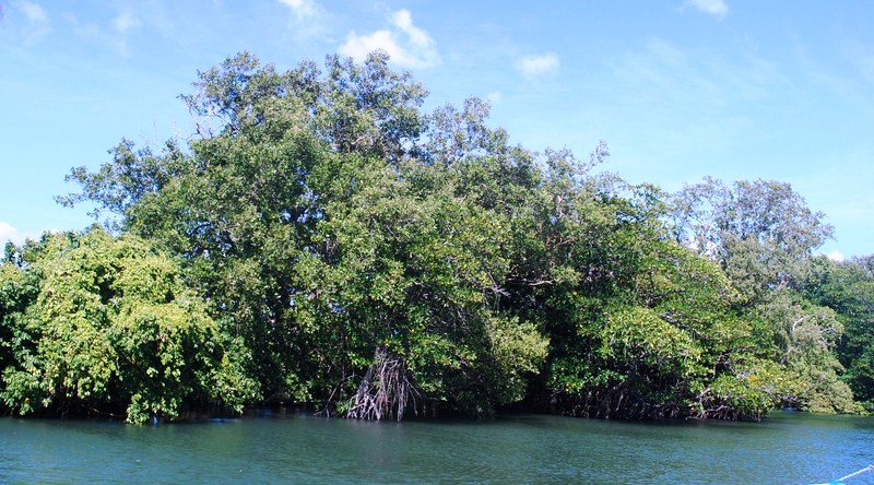
Mangrove forests
The Pagbilao Islands, also called Pulo Island, are a lovely pair of islands (Pagbilao Grande in the north and Pagbilao Chico in the west) joined together by a 500 m. long, 200 m. wide (3 m. above sea level at its highest point) sandy isthmus called Tulay Buhangin (meaning “sand bridge”). The main settlement (also called Tulay Buhangin) is located here.
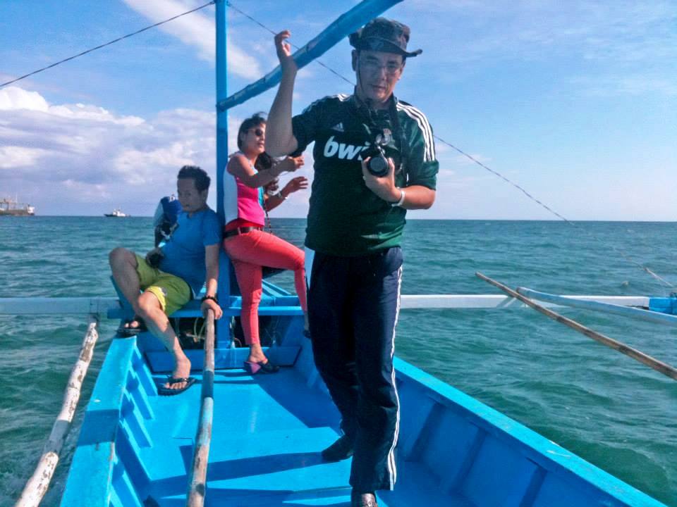
On our way into the open sea
Though part of Pagbilao town, the islands are more accessible by boat from Padre Burgos. Bounded by Laguimanok Bay in the north and east and Tayabas Bay in the west, the islands are 100 feet above sea level on a promontory overlooking Padre Burgos town to the east. This ancient and still developing coral rock formation has numerous coves, caves cliffs and a hilly interior with clumps of giant yuccas and small, emerald forests. There are also white sand beaches and rich fishing grounds.
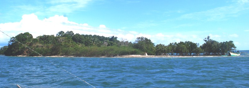
Patayan Island (Pagbilao Chico Island)
Around 30-40 mins. on our journey we passed Pagbilao Chico Island, also called Patayan Island. It has a smooth stone beach and a single privately-owned beachhouse that can be rented out. Its Bansilan Cave has cathedral-like dimensions.
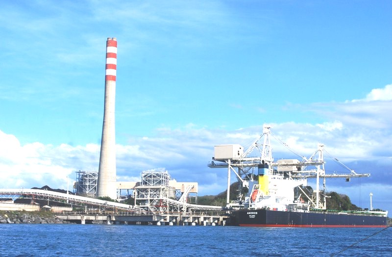
The Team Energy coal-fired thermal power plant
We next espied the tall chimney of 735-MW Team (Tokyo Electrification and Marubeni) Energy coal-fired thermal power plant. During our visit, a huge cargo ship was unloading coal at the power plant. The plant is the landmark for those taking the land route to Puting Buhangin Beach. Turning a corner past the power plant, we were greeted by beautiful rock limestone formations and Kwebang Lampas and, past it, the beautiful cove with white sand Puting Buhangin Beach with its clear emerald waters and coconut trees.
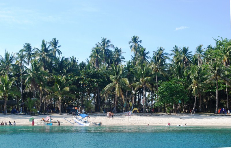
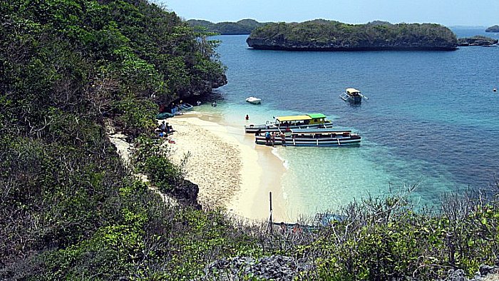
Puting Buhangin Beach
The 70 m. long and 10 m. wide white sand Puting Buhangin (which literally means “white sand”) Beach, with Kwebang Lampas at one end, is located in Brgy. Ibabang Polo at the southwestern part of Pagbilao Grande Island.
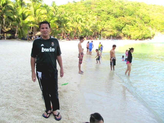
Author at Puting Buhangin Beach
We requested the boatmen to dock and, upon reaching the shore, Rannie and I made for the beach. This private beach (also called Lukang Beach after the Lukang family), available to the public on day trip visits (PhP100 entrance fee), was filled with people during our visit. Some were staying on native picnic huts (rented for PhP300-500); others pitched tents along the beach, while others just availed of the shade of coconut trees.
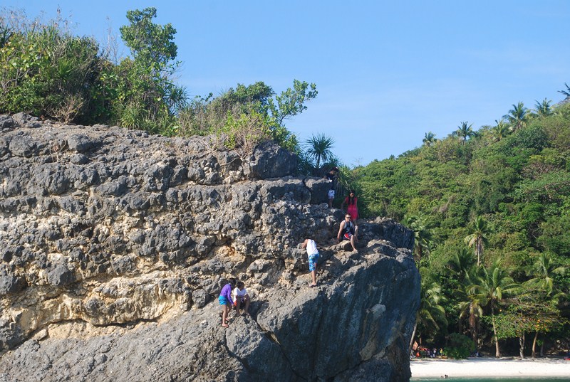
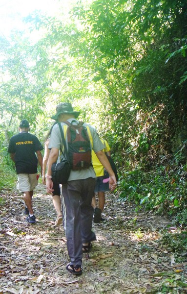
Visitors making their way to the beach via the power plant and the treacherous limestone formations
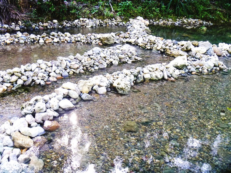
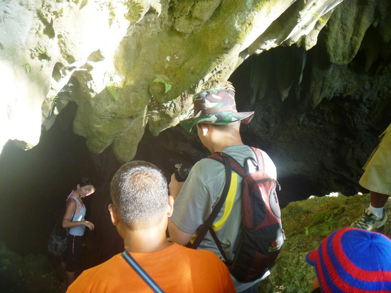
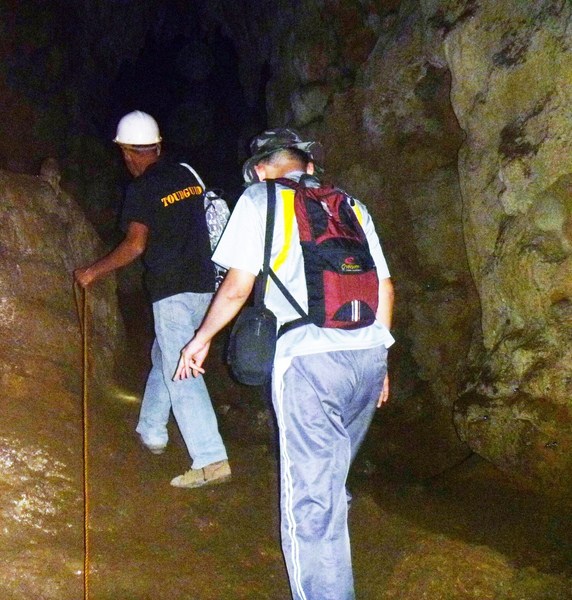
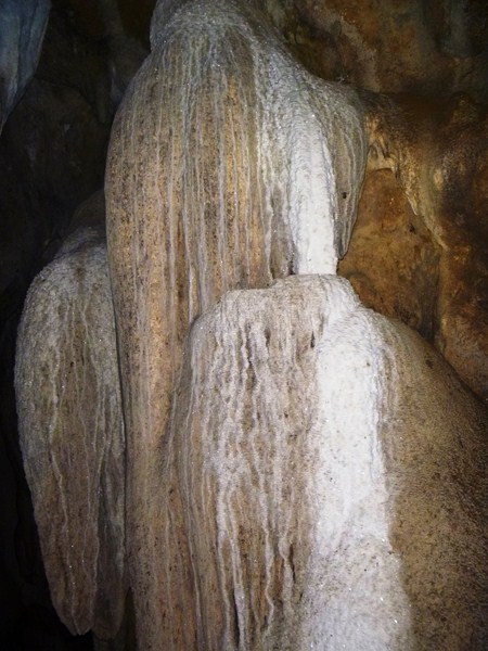
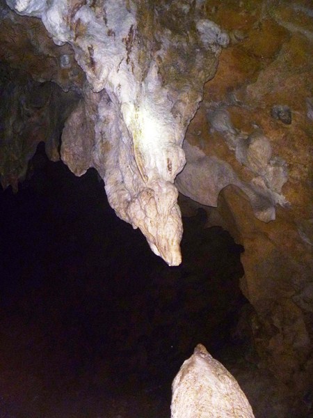
Other destination, though, was the small, unique cave right at the edge of the cove famously known as Kwebang Lampas whose opening we saw on the way to the cove. Walking along the beach, we reached the foot of the limestone formation and carefully negotiated the rocks to the entrance of this easily explored, tunnel-like cave. We could see the cave’s other opening at the opposite end.
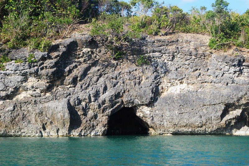
Kwebang Lampas
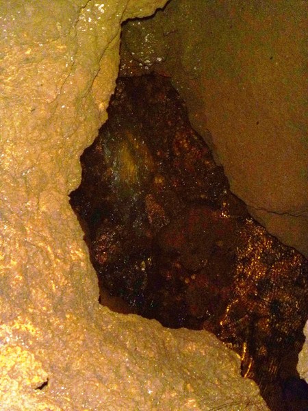
They say that the water at one end of the cave is freezing cold, while water at the opposite end is warm, but I didn’t notice any difference. Mel, Angela and Maichel soon joined us. After the usual photo ops, using Rannie’s camera, we made it back to the beach and our boat, thoroughly sated with the adventure we just experienced. It was with some feeling of regret that we left the island back for the mainland.
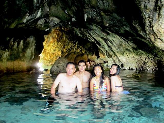
The author, Maichel, Mel and Angela at Kwebang Lampas
Appsline Travel Services and Consultancy: Phase 2, Krisanta Village, Brgy. Bukal, Maharlika Village, Pagbilao, Quezon. Tel: (042) 716-0067. Mobile number: (0922) 633-0363 (Ms. Lurhen T. Cortes). E-mail: yvette_24@yahoo.com andappsline0305@gmail.com.


")


.JPG)
.JPG)
.JPG)
.JPG)
.JPG)
.JPG)
.JPG)

.jpg)


