Alapad Rock Formation (Uyugan, Batanes)

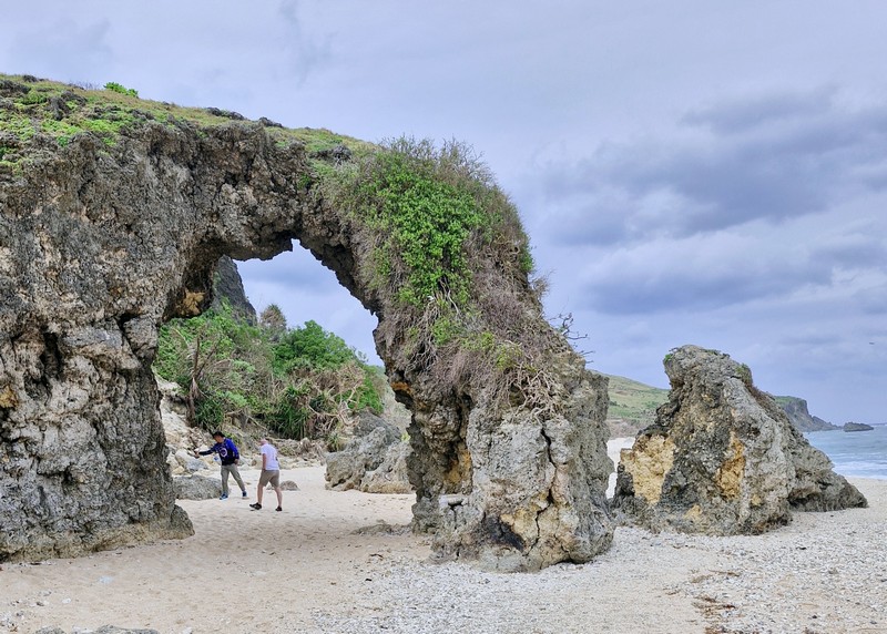
From the BAMSO Museum, it was just a short drive to the iconic Alapad Rock Formation, one of the most visited tourist attractions in Batan Island.
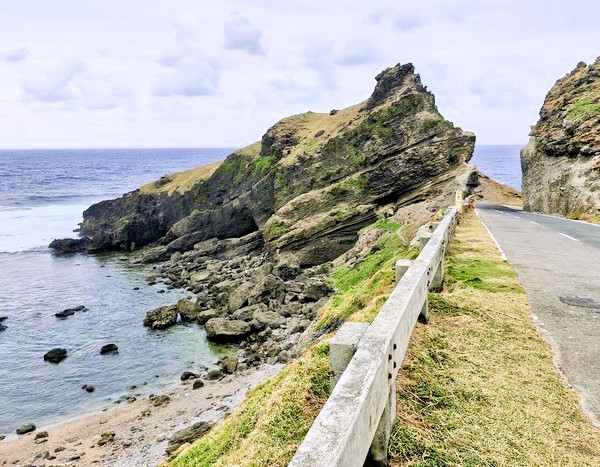
Alapad Rock Formation

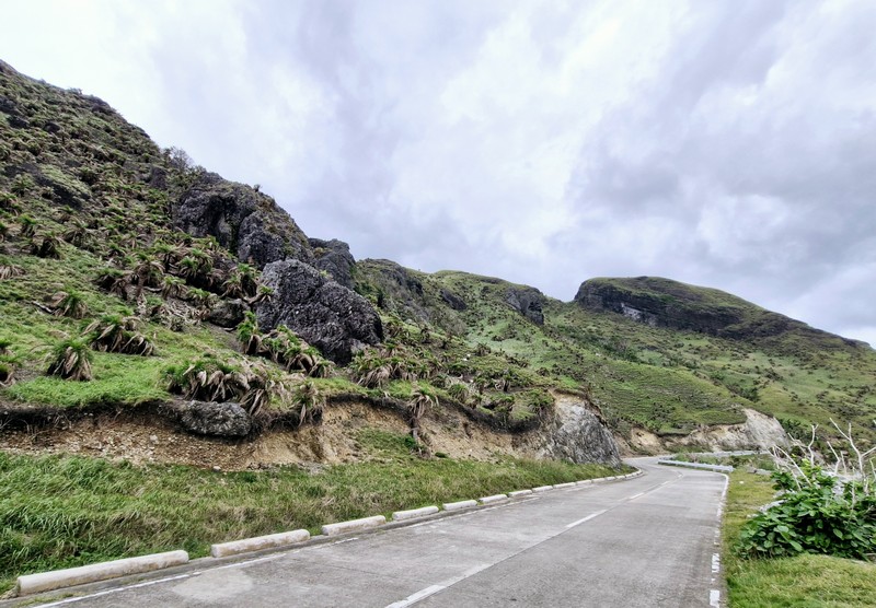
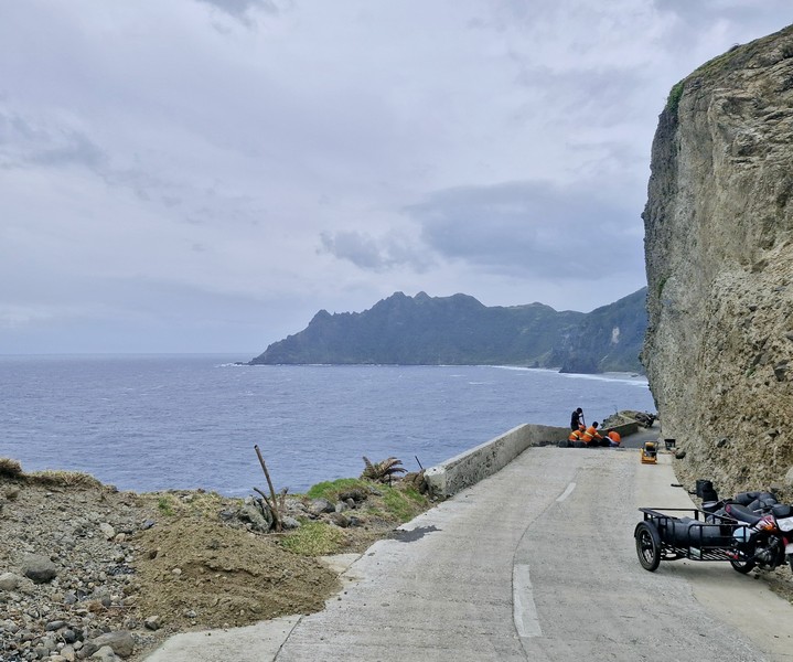
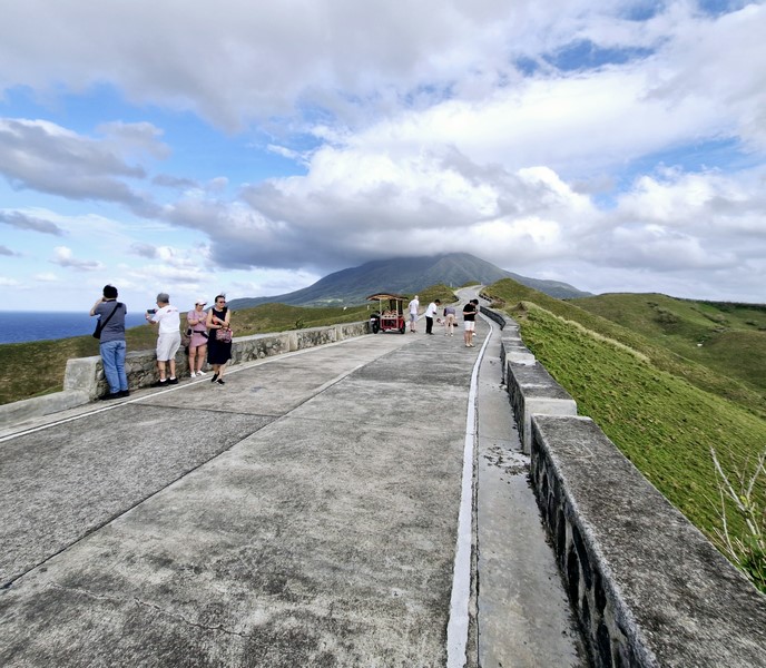
This an inclined rock, facing the Pacific Ocean, was naturally carved by the strong water current and tectonic movements. Since it is strategically situated along the coastline of Imnajbu in Batan Island, it was blasted open, right down the middle, leaving some space in between to accommodate Batan’s circumferential road.

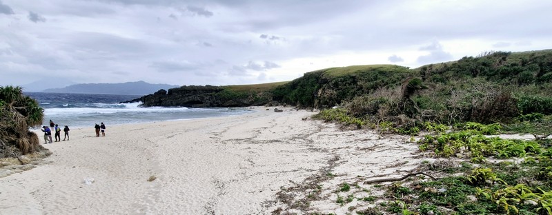
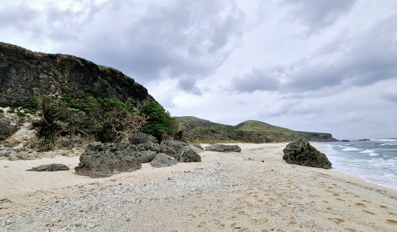
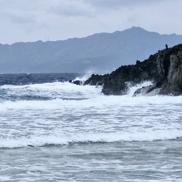
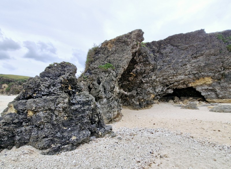
On one side is a hill that serves as a view deck offering a picturesque view of the Pacific Ocean and the seascape, in general, for visitors, while on the other side is a rocky beach.
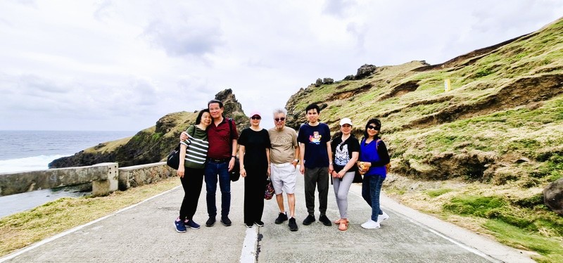
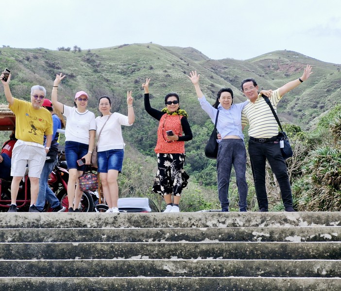
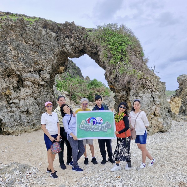
L-R: Grace, the author, Lorraine, Jun, Jandy, Lourdes and Gelyn

The rock formation deck also offers a view of the aforementioned BAMSO Museum now housed in the former LORAN (Long Range Aid to Navigation Station) constructed by the Americans in the 1960s, for Coast Guard purposes and, eventually, abandoned in the 1970s.

Check out “BAMSO Museum”

A famous scene in 1991 movie Hihintayin Kita sa Langit, wherein Richard Gomez was carrying Dawn Zulueta, was filmed here. The motorcycle scene in the 2015 film You’re My Boss, starring Toni Gonzaga (as Georgina) and Coco Martin (as Pong), was also shot here.
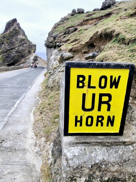
The “Blow Ur Horn” sign

Adding to its charm are the iconic “Blow Your Horn” signs along Mahatao’s cliff hugging roads, evidence of Ivatan ingenuity and creativity. Carved out from cliffs or boulders to prevent accidents at the blind spots, these unique, yellow-painted road signs, also associated with Batanes, were built to withstand the torrential winds of the strongest typhoons.
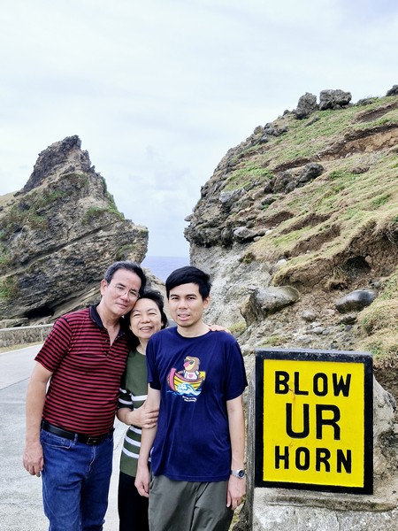
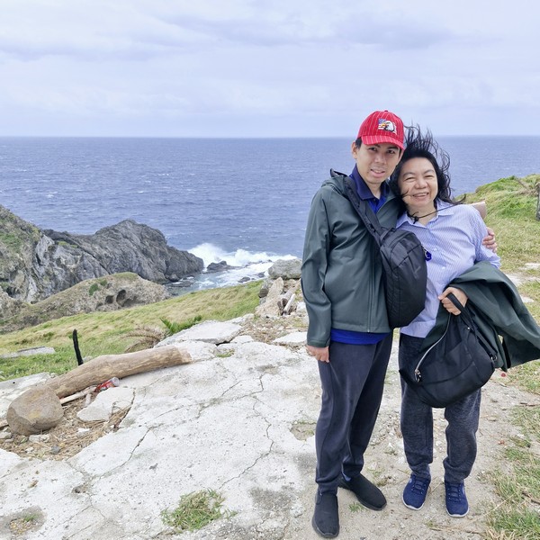
The uthor (left) with Grace and Jandy

Alapad Rock Formation: Brgy. Itbud, 3903 Uyugan,

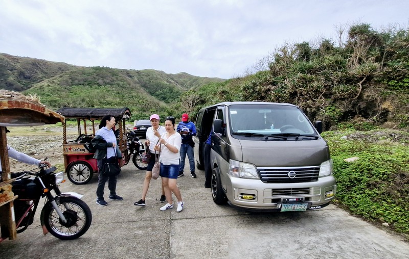
How to Get There: Uyugan is located 22.2 kilometers (a 45-minute drive) from Basco and 11.9 kilometers (a 25-minute drive) from Ivana.Locals usually ride their motorcycles, bicycles, tricycles, or walk to the Alapad Rock Formation. You can also join a guided tour that includes this attraction.

Provincial Heritage and Tourism Office (PHTO): Mobile number: (0929) 230-5934. Website: www.breathtakingbatanes.com.
Racuh a Payaman (Mahatao, Batanes)

Racuh a Payaman

From the Chawa View Deck, it was a 6-km. (15-min.) drive, passing by the Mahatao Boat Shelter Port, to Racuh-a-Payaman (meaning “big pasture”), one of the most visited tourist attractions in the island.  By the time we arrived, the rain had already stopped and the sun was shining brightly in the sky.

Check out “Chawa View Deck” and “Mahatao Boat Shelter Port”

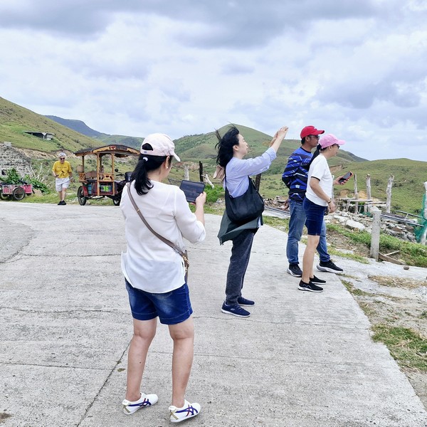
L-R: Grace, the author, Jandy, Lorraine, Junior, Lourdes and Gelyn

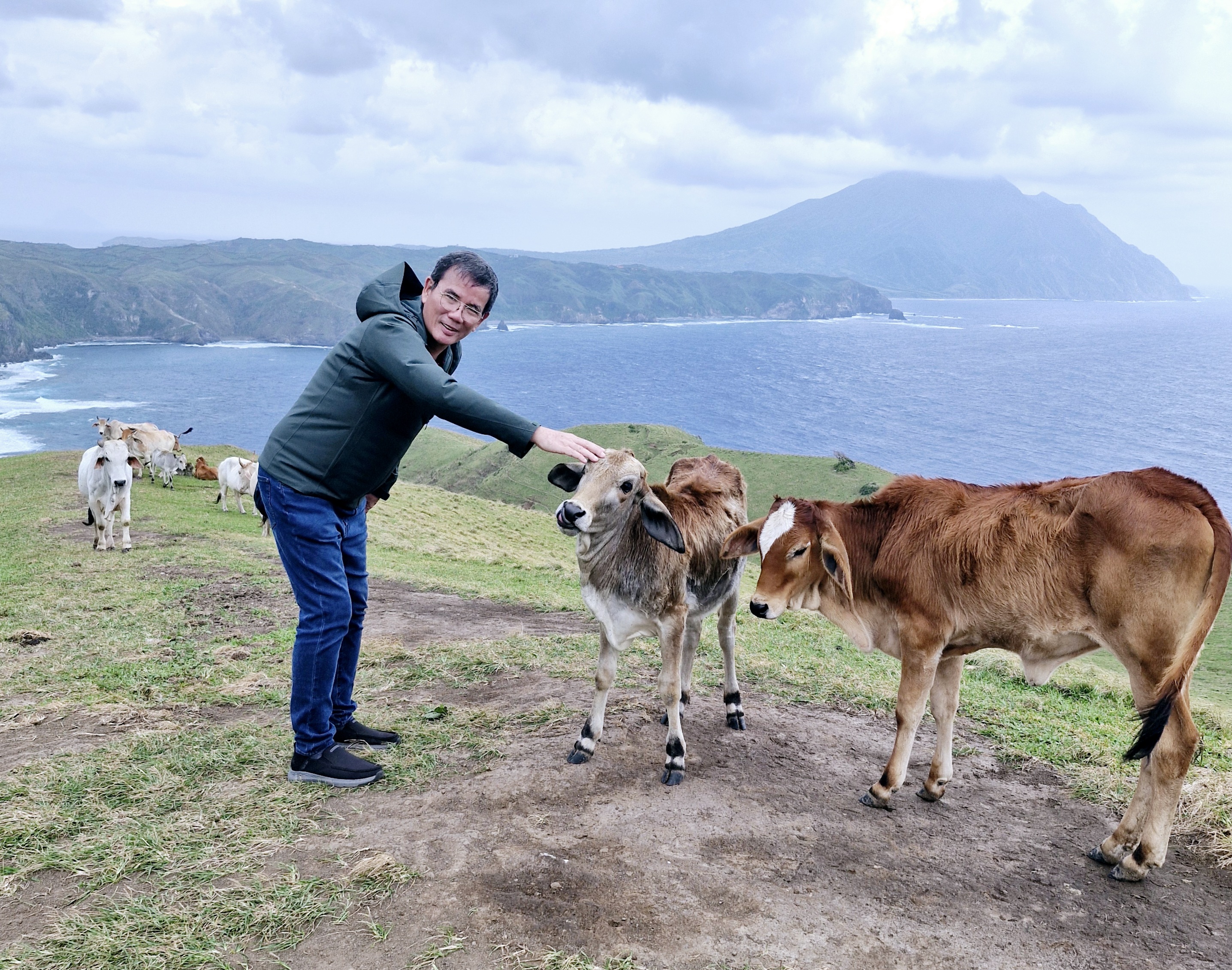
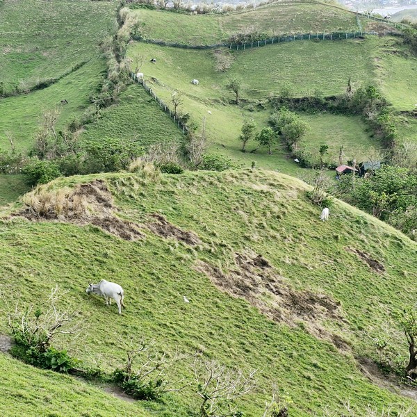
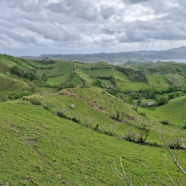
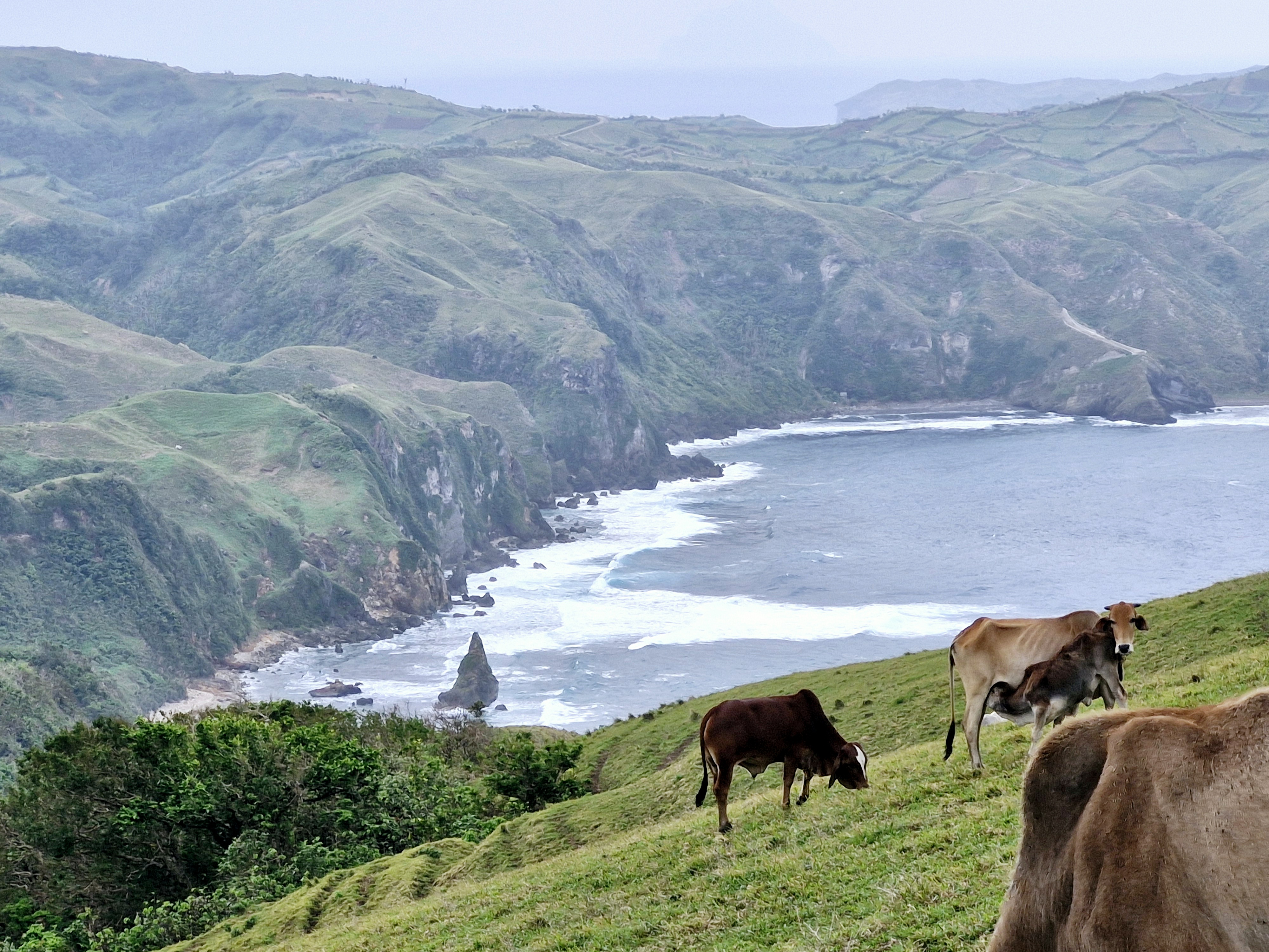
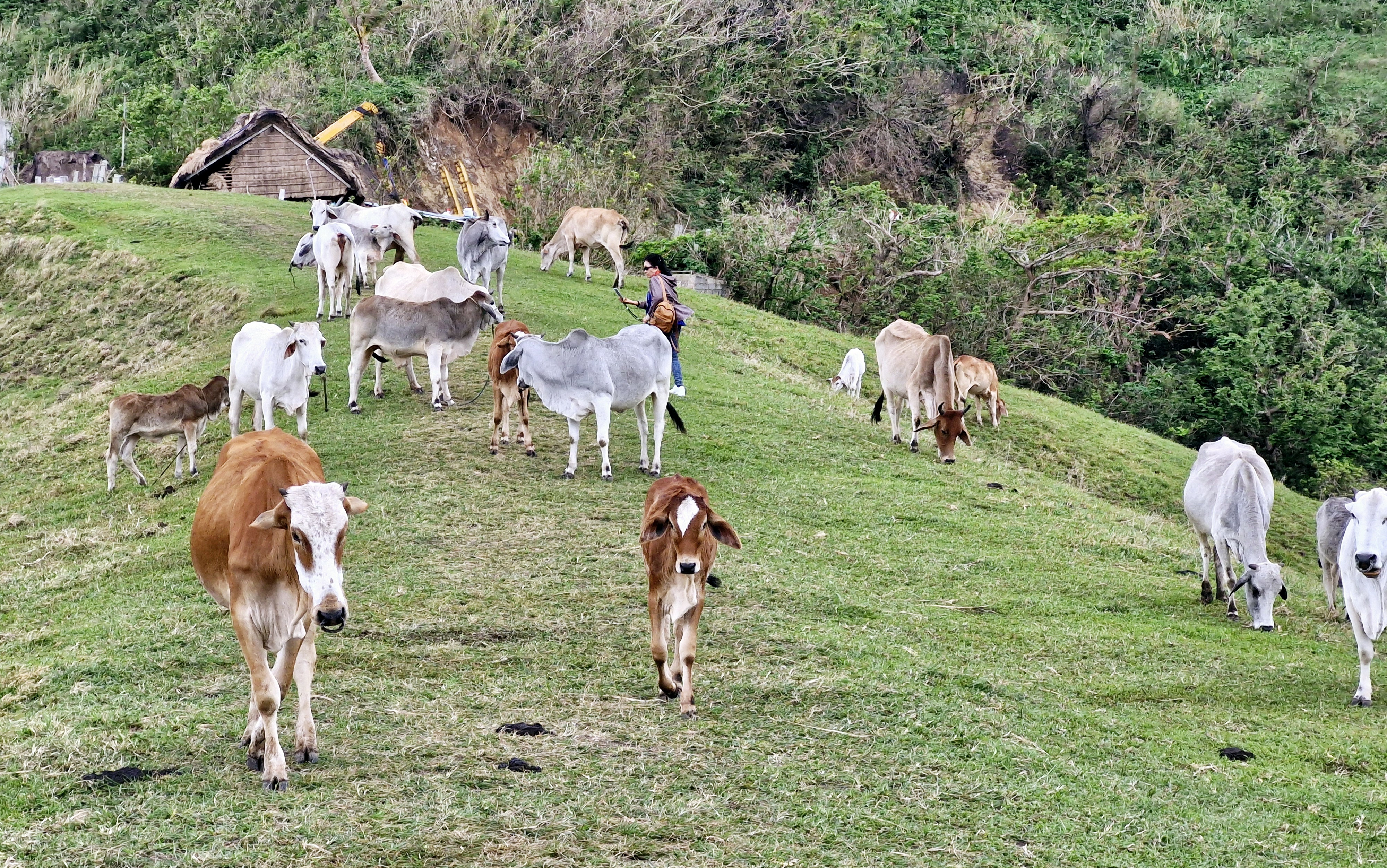
Located at Mahatao’s outskirts, it is also called Vayang (“rolling hills”) or Japarao but is more popularly called the “Marlboro Country of Batanes,” a referral derived from a 1968 Marlboro cigarette TV advertisement, mainly because of the rolling hills of limitless, velvety grazing grassland where cattle, carabao and horses are aplenty.

Grazing cattle

This huge track of communal pastureland, preserved by the villagers, have fields often typically hedged with tall rows of reeds, trees, cogon grass or piled stones.  These hedgerows serve as some sort of windbreaker, protecting the crops against the harsh winds and typhoons.  They also help prevent soil erosion.

The site is protected by the NIPAS Act (a law securing the proper use of protected lands in the country) and the Batanes Protection Act of 2000 (a law stipulating a Batanes as a cultural heritage and ecotourism zone). Therefore, the protection of the environment is strictly enforced in the area.

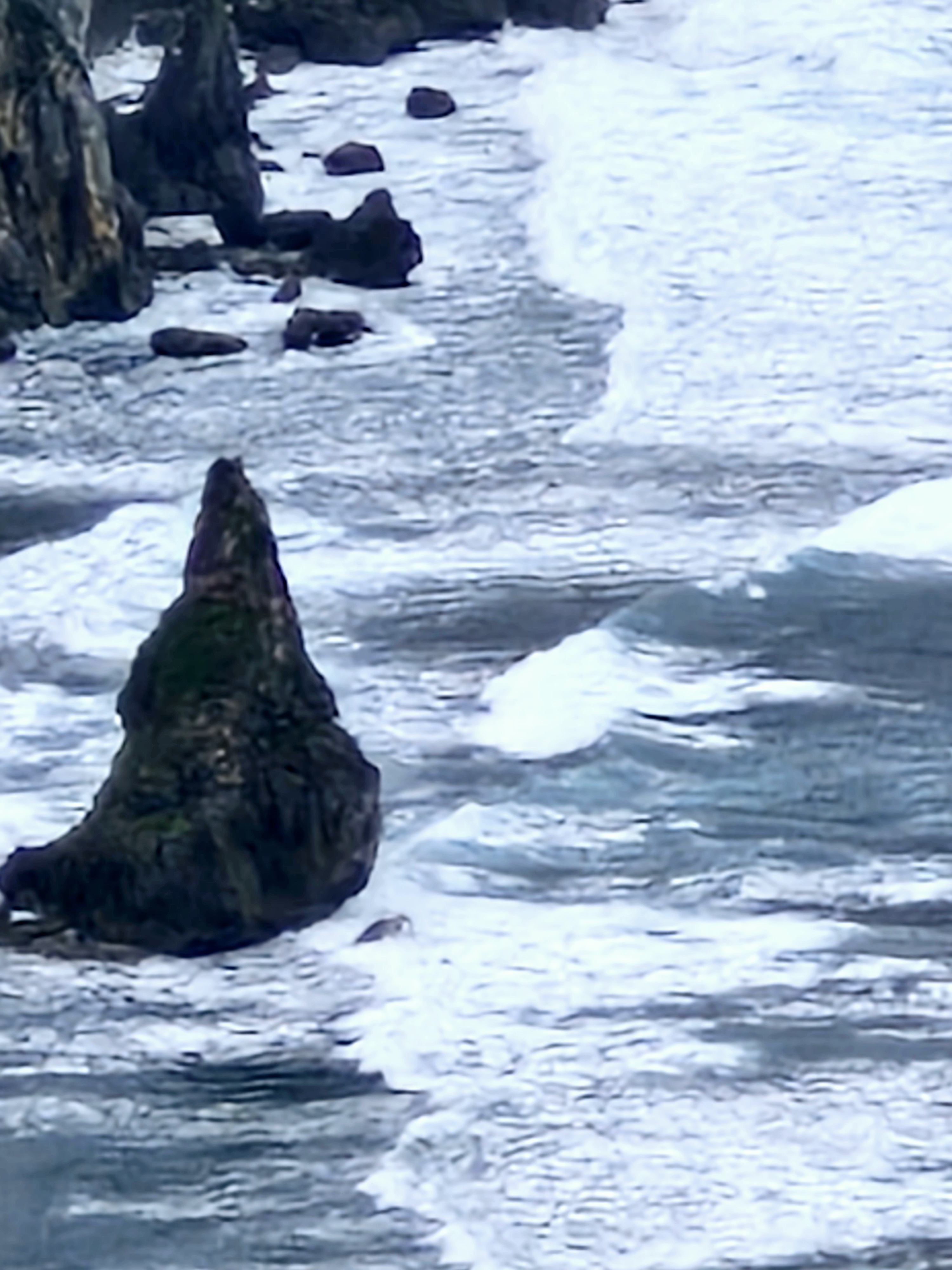
A cone-shaped islet

A large part of this area is occupied by the Cattle Raisers Association of Communal Pastureland No. 1, the oldest and most intact group in Batanes, with management ensuring that equitable access and distribution of the benefits derived from the grazing land.

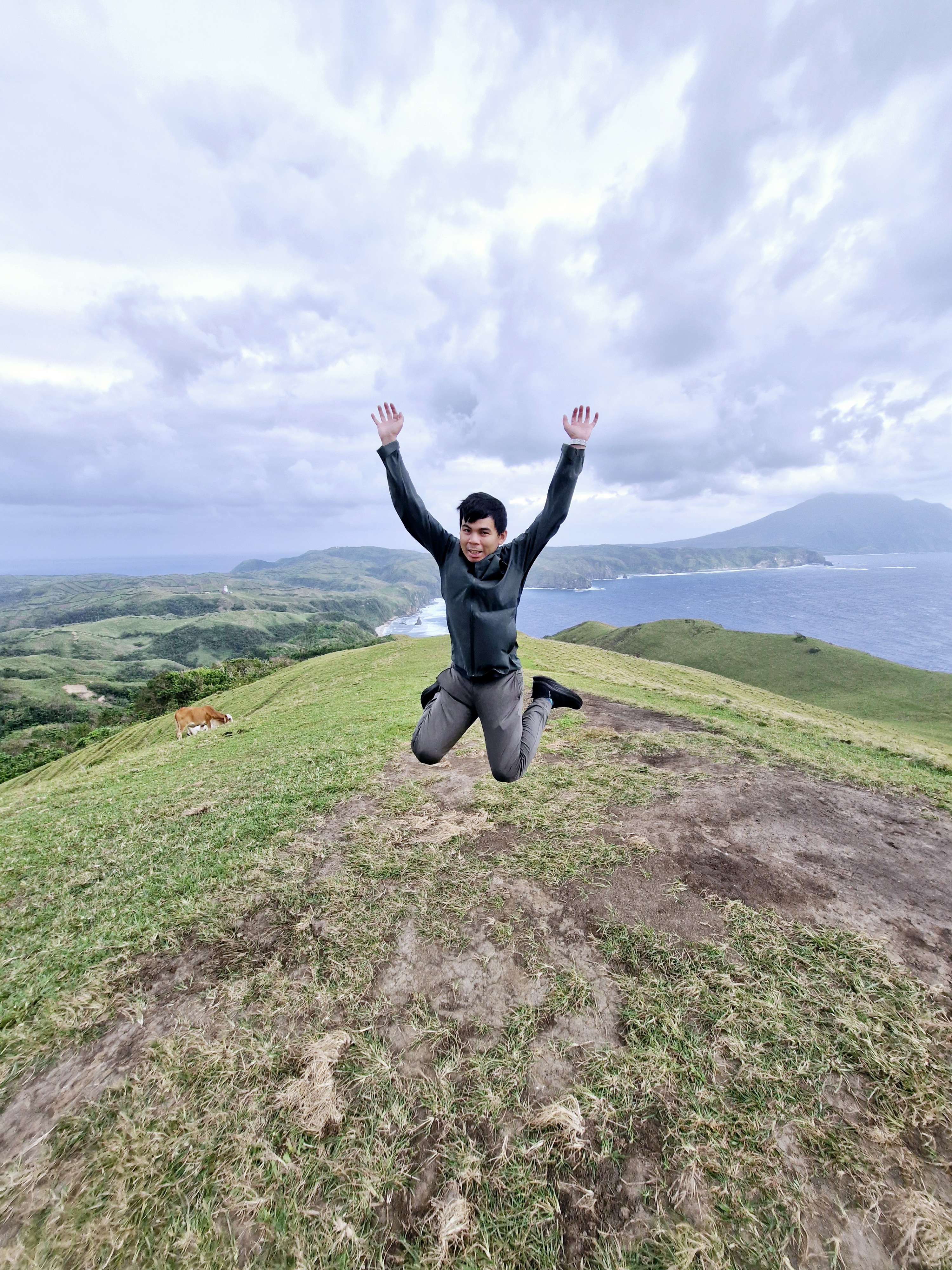
Jandy doing a jump shot

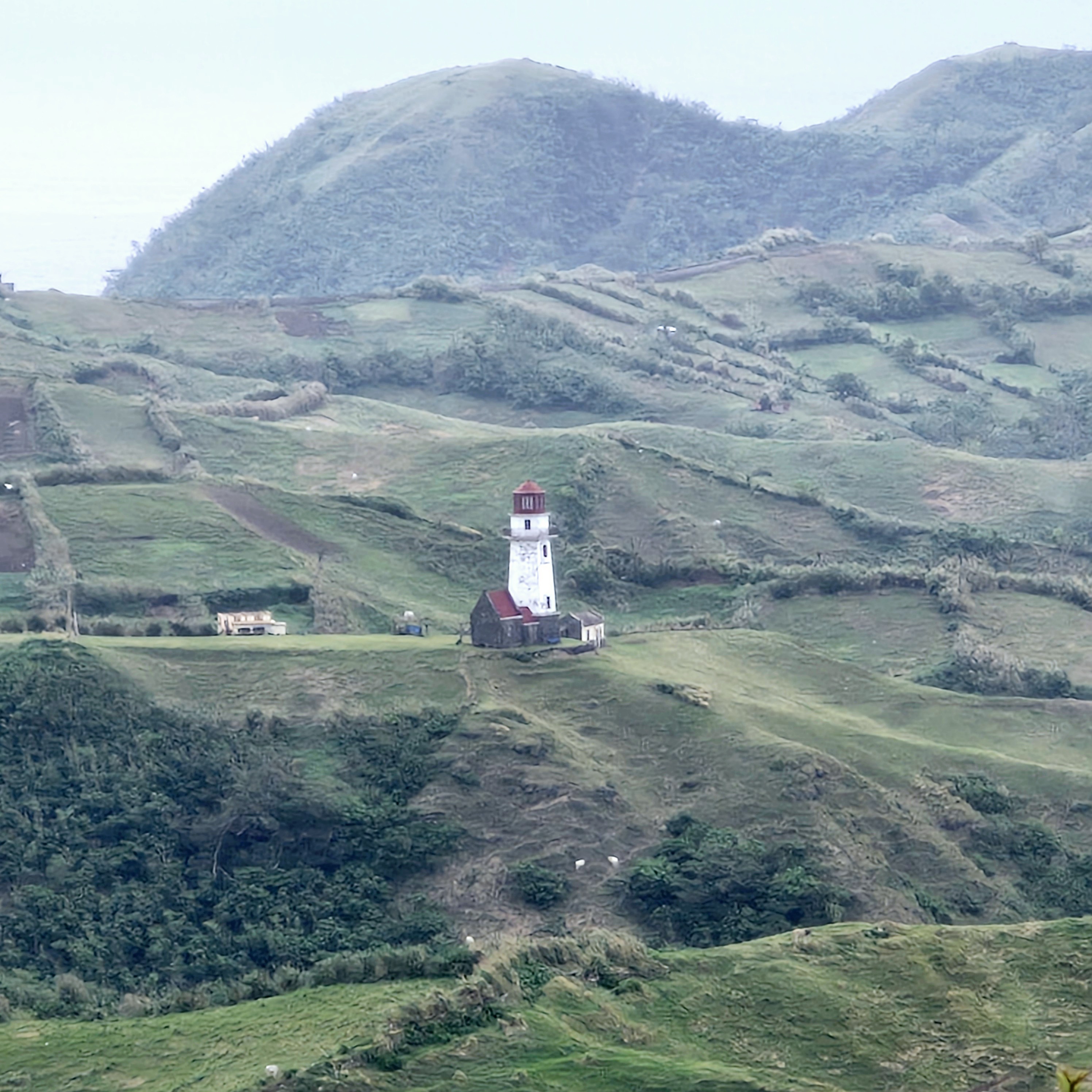
From the top of the hills, the view here is nothing short of spectacular.  We had a clear, picture-perfect view of the rugged coastline below, with cliffs plummeting down to Diura Beach and a cone-shaped islet, the Pacific Ocean on the horizon, Tayid Lighthouse, crested on an opposite hill, to the north, Mt. Iraya on the far north, and the Dingo island close by.

Tayid Lighthouse amidst hedgerows 

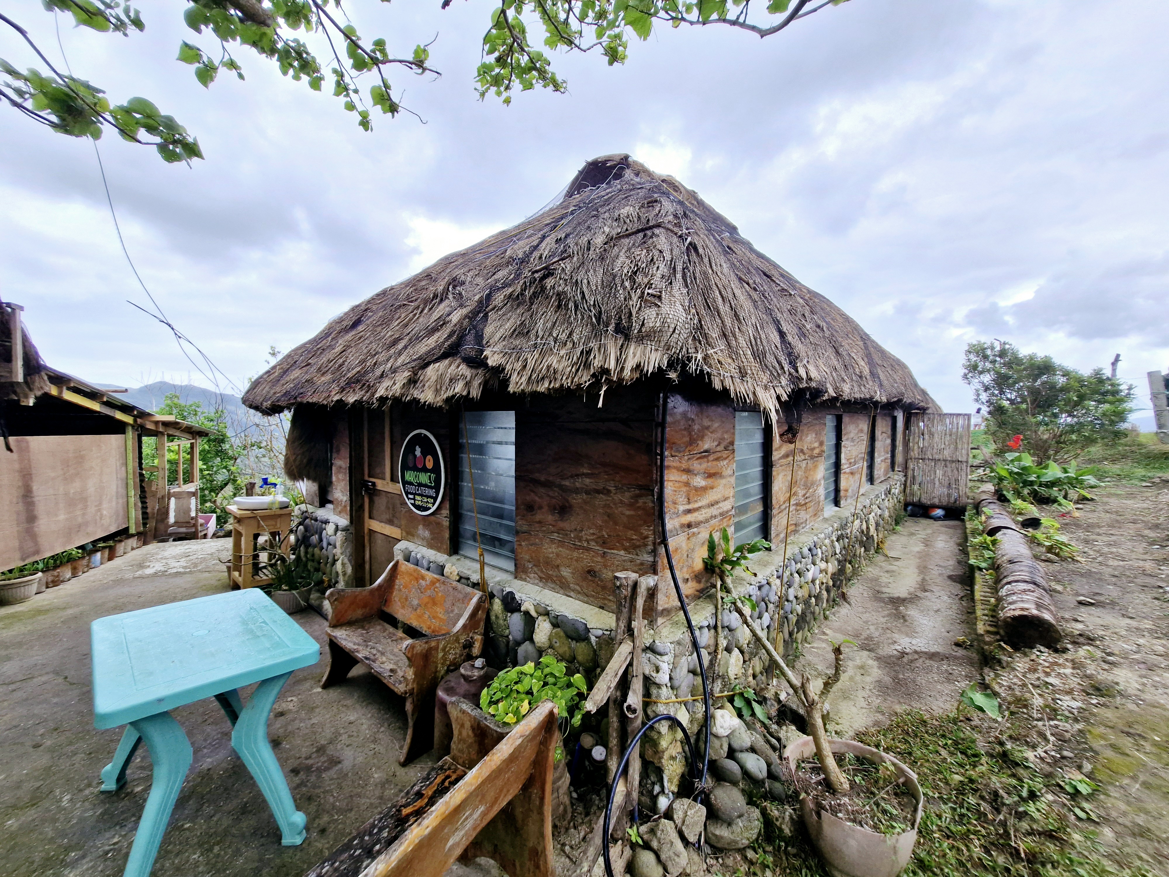
It is also a nice venue for landscape photography and kite flying. For dining, there’s Maconines Canteen which serves local dishes such as uvud, mahi-mahi, vunes, lunis and Batanes lobsters.

Marconines Canteen

Racuh a Payaman was also featured in the 2015 film You’re My Boss, starring Toni Gonzaga (as Georgina) and Coco Martin (as Pong). Here, Georgina and Pong were taking lots of selfies as the day was coming to a close.

The author befriending a cow

Racuh-a-Payaman: Brgy. Uvoy, 3901 Mahatao.

How to Get There: Mahatao is located 13.4 kms. (a 30-min. drive) south of Basco. Located just between Mahatao and Imnajbu in the east-central Batan Island, this pastureland can be reached by tricycle from Basco Airport or Basco Town Proper. You can also hire a tricycle for a tour of South Batan, which includes a stop at Marlboro Country.

Chawa View Deck (Mahatao, Batanes)

Chawa View Deck

On our third day in Batanes, after breakfast at the hotel, it began to rain when we boarded our van for the 1.8-km. (a 5-min.) drive, along winding roads, to the first stop of our Southern Batan Island Tour – the breathtaking Chawa View Deck (also called Mahatao View Deck or Chanarian View Deck).  The word chawa came from the Ivatan word meaning “cliff.”

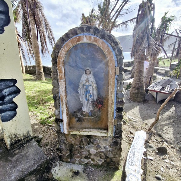
Grotto of the Virgin Mary

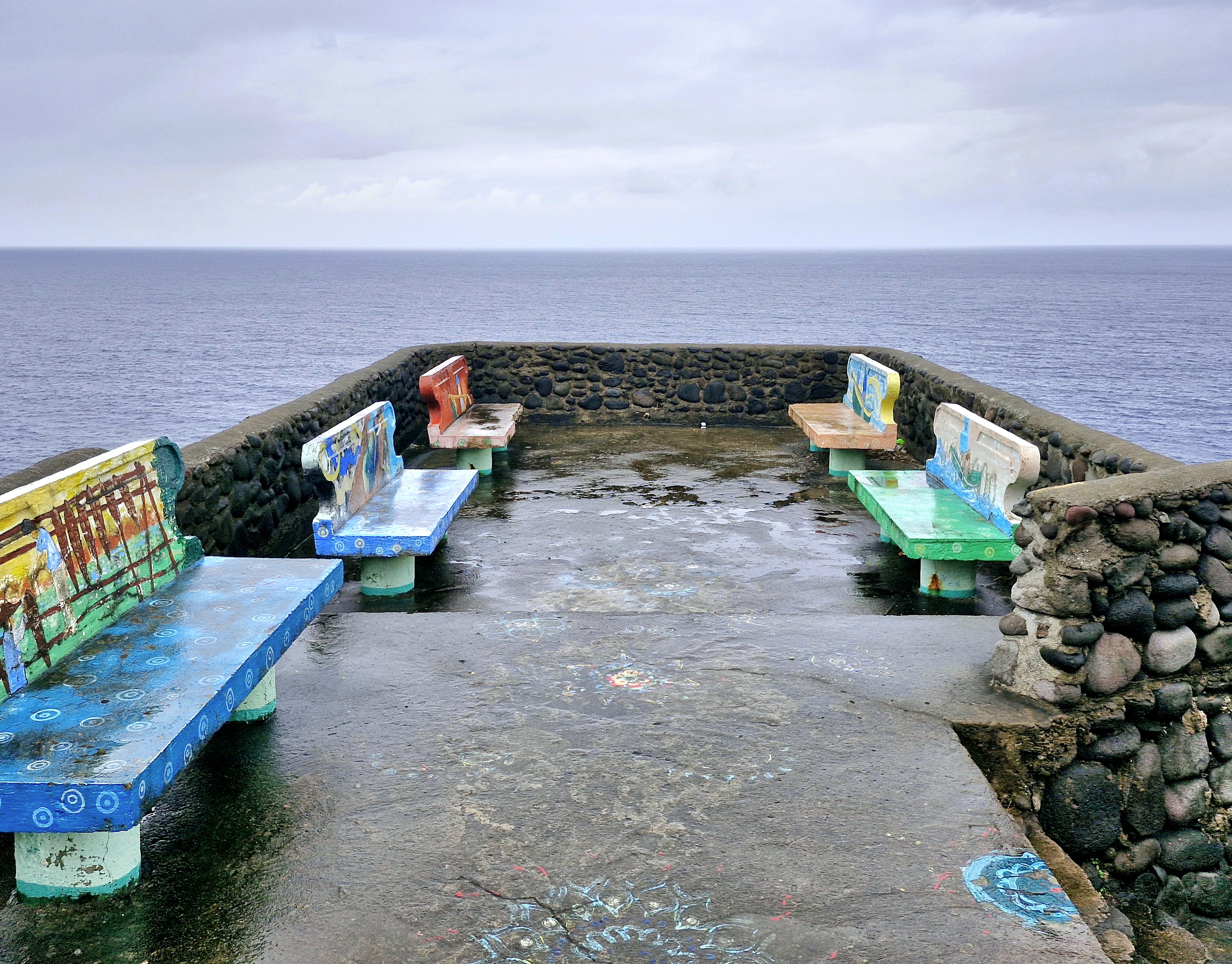
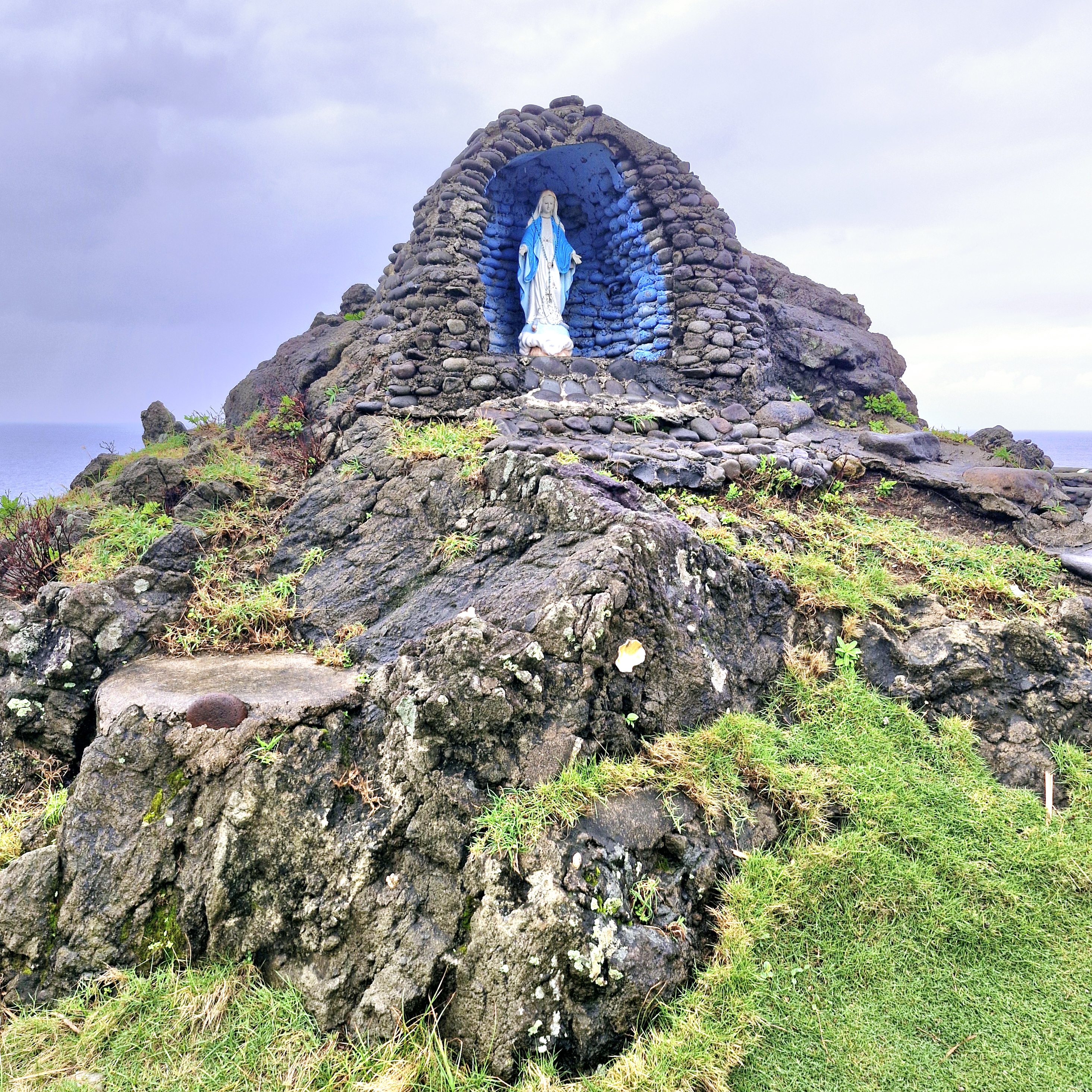
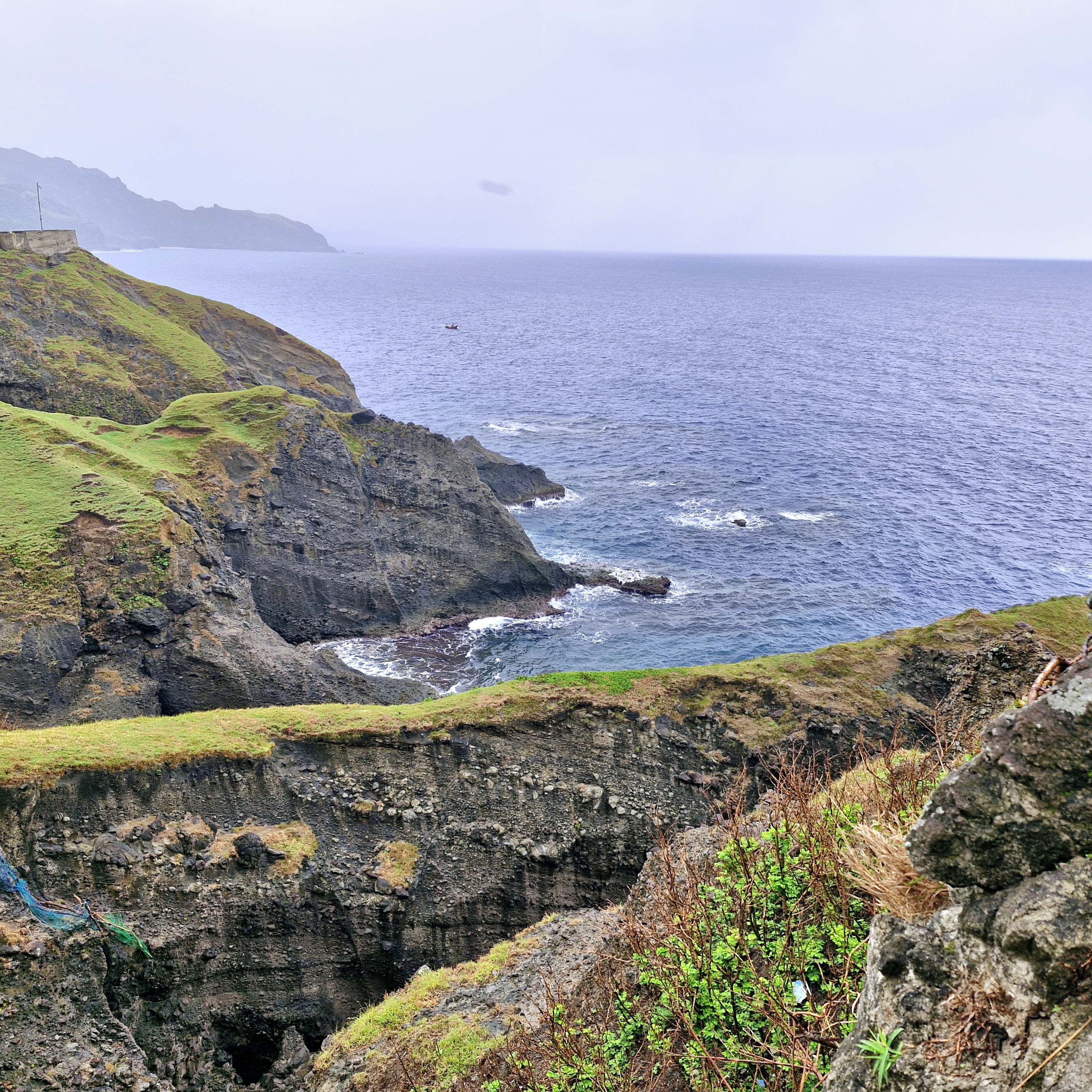
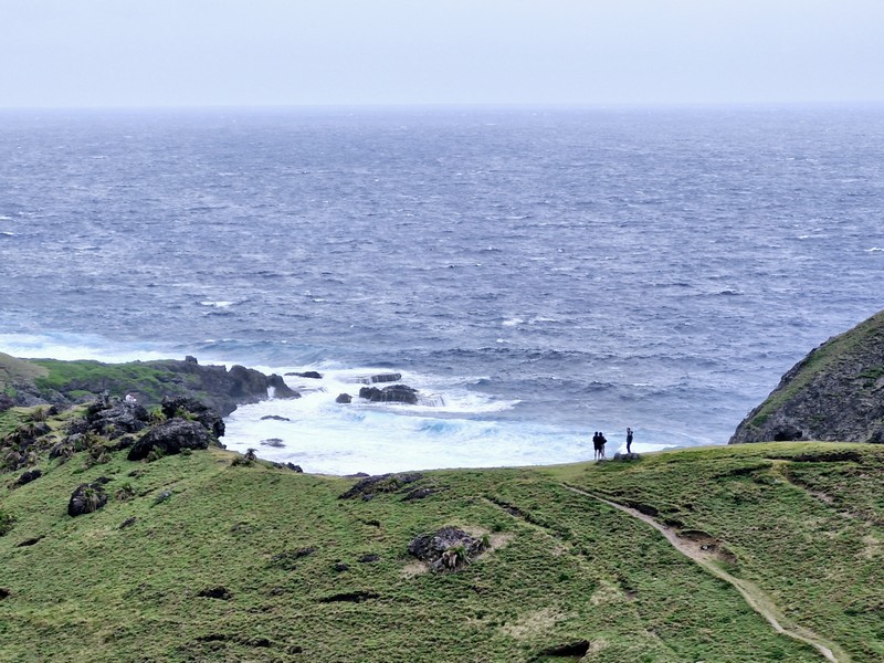
Upon arrival, we first encountered a grotto of the Blessed Virgin Mary then some concrete benches where one can sit (if it weren’t wet) and have a panoramic view of the West Philippine Sea beyond, the pounding waves below, the rolling green hills and the rugged western cliffs that hug the road to the southern towns.

View from the deck

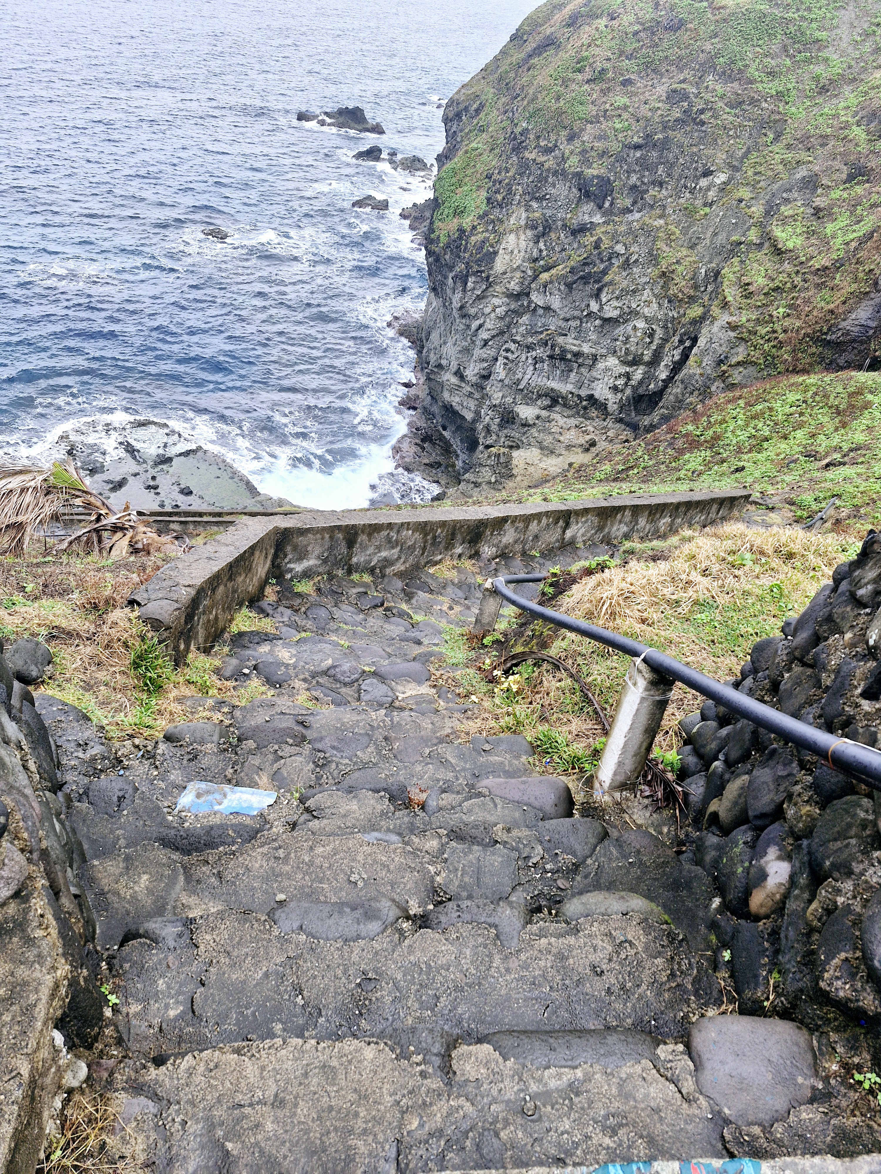
The cliff also has a steep concrete stairway, with 100 or so steps, that lead down to the sea where you can dip your feet in the cool waters, take additional photos, go fishing or just watch the waves hitting the rocks. During low tide, there is a mini pool.

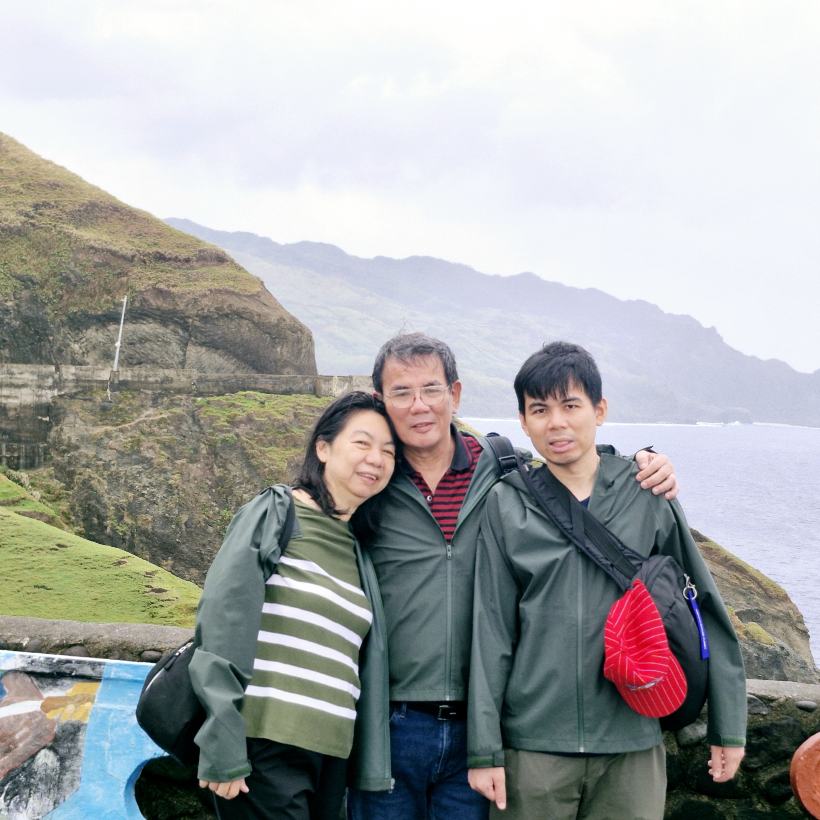
L-R: Grace, the author and Jandy

We didn’t go down the stairway as climbing back up would be quite a workout and the steps were very slippery and dangerous to step on after the rain. Instead, we simply relaxed, took photos and enjoyed the breeze and the view.

Concrete steps leading down to the shore

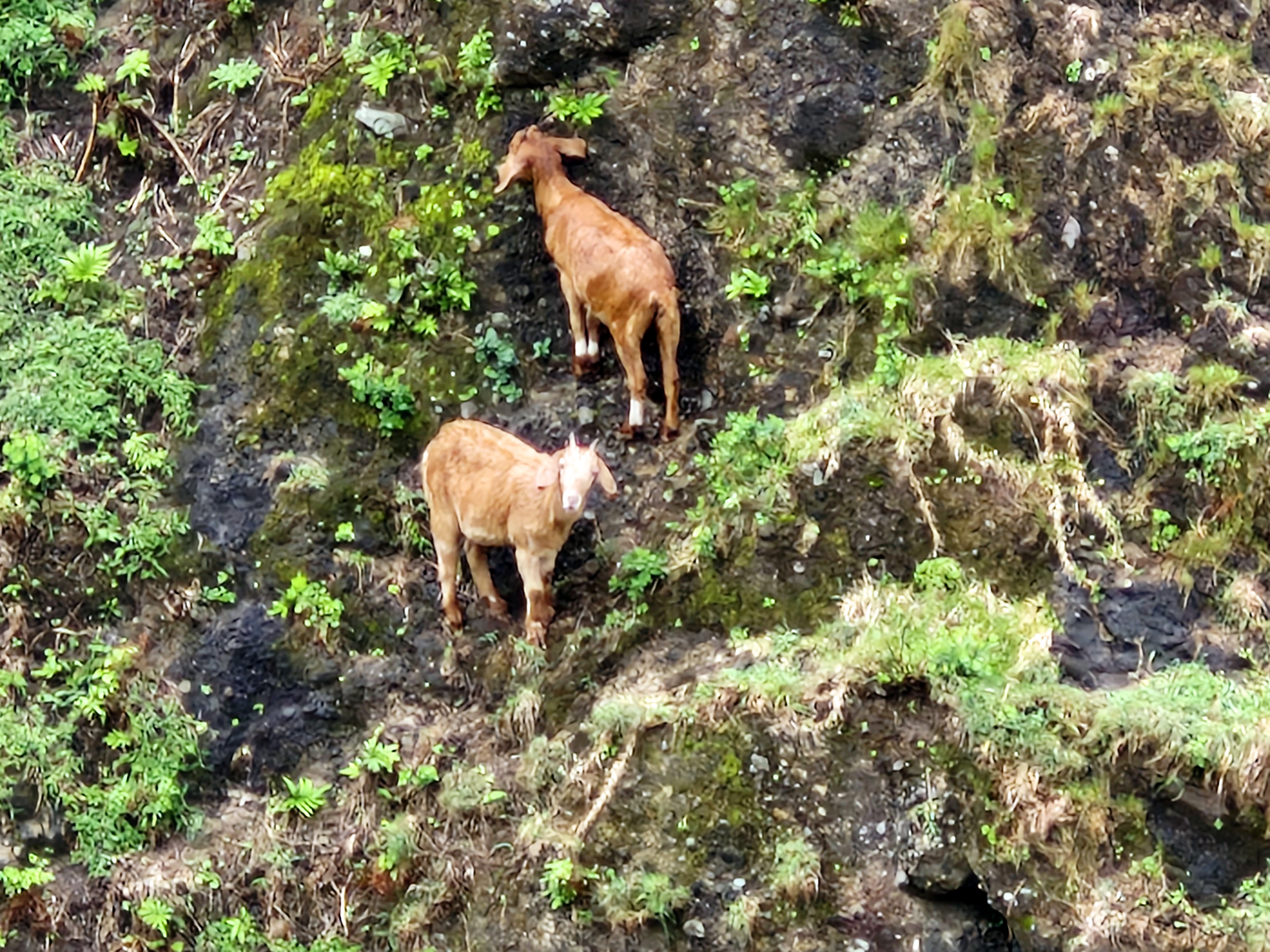
Some distance from the view deck, I espied a pair of extraordinary mountain goats defying gravity as they clung precariously off the steep mountain side.

Two mountain goats clinging precariously to the mountain sides.

Chawa View Deck: Basco National Rd., Brgy. Hanib, 3901 Mahatao. 

How to Get There: Mahatao is located 13.4 kms. (a 30-min. drive) south of Basco.  The viewing deck is located at the top of the Chawa winding road within Mahatao.

Provincial Heritage and Tourism Office (PHTO): Mobile number: (0929) 230-5934. Website: www.breathtakingbatanes.com.
Chamantad-Tiñan Viewpoint (Sabtang, Batanes)

Chamantad-Tinan Viewpoint

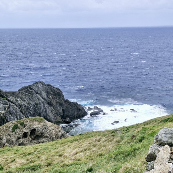
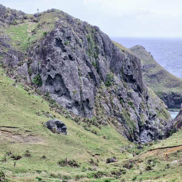
From Savidug Village, we all boarded a van for the 4,1-km. (10-min.) drive Chamantad-Tiñan Viewpoint.  One of the highest viewing sites in Sabtang Island, this is where tourists can enjoy the view of Chamantad Cove below and, beyond, Balintang Channel and Batan Island. This vast landscape, seated near the cove, is renowned for its curvy grass-carpeted scenery.

Jandy and Grace

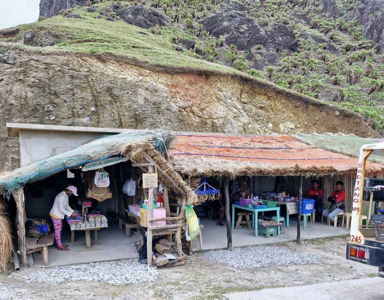
Before reaching the view point, there were plenty of huts along the highway offering a sample of their local sugarcane wine and Ivatan wild tea called tubho. At the entrance itself, there are huts where you can buy souvenirs and even taste, for free, some local delicacies as well as coconut and sugarcane wine.

Upon arrival, a calming atmosphere was provided by the sweeping landscapes and natural beauty of the vibrant colors of the rustic, rolling hills (especially during sunrise and sunset), a gentle breeze and the sound of the inviting waves crashing against the beautiful cliffs below. I could stare at this exquisite view all day.

The equivalent of Batan Island’s Racuh a Payaman and Vayang Rolling Hills, it was just beyond words and photos don’t do it justice.  Truly, Sabtang does not disappoint when it comes to rugged, breathtaking scenery and magnificent views.

Check out “Racuh a Payaman” and “Vayang Rolling Hills”

For those hiking, the 10-15-min. journey to the viewpoint is a scenic adventure in itself as it allows one to appreciate the rich biodiversity of the place. The rolling hills conquering the area come in a variety of low and high slopes giving visitors different perspectives. You can also see mountain goats climbing and balancing off the cliffs.  From here, a short walk will take you to the seascape lined with powdery white sand and small to medium-sized stones.

Souvenir shops
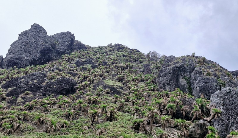
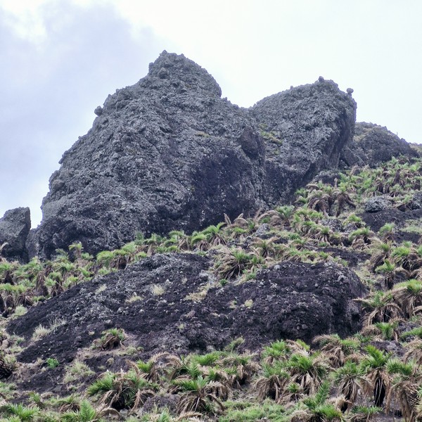
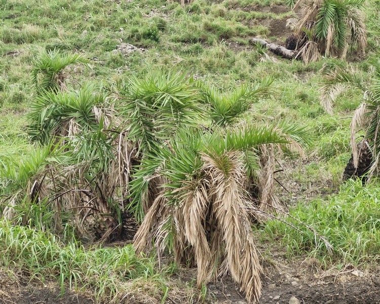
Voyavoy (Phoenix loureirii var hanceana) along the hillside

Chamantad-Tiñan Viewpoint: National Rd., Brgy. Chavayan, 3904 Sabtang.

How to Get There: Sabtang, on Sabtang Island, is located close to the port.  There are scheduled 30 to 45-minute early morning boat trips by falowa (round-bottomed boat) from Ivana’s Radiwan Port to Sabtang.  From the port, you can rent a tricycle to take you to the viewpoint.

Sabtang Tourist Information Center: Brgy. Sinakan, 3904 Sabtang.  Mobile number: (0929) 226-8055.  E-mail: tourismsabtang@gmail.com.

Provincial Heritage and Tourism Office (PHTO): Mobile number: (0929) 230-5934. Website: www.breathtakingbatanes.com.
Morong Beach and Ahaw Rock (Sabtang, Batanes)

Morong Beach

Upon arrival at Sabtang Port, we all boarded our van for the short 1.8-km. drive to our first part of our day tour of Sabtang Island – the short, 300 m. long, pristine white sand Morong Beach(also called Nakabuang Beach orWhite Beach).

Arrival at Morong Beach
L-R: Jun, Lorraine, Lourdes, Gelyn, Grace and the author

Noted for its wild and natural beauty and unique rock formations, it is surrounded low, grass-covered hills on all sides and is probably the most well-known of all the beaches fringing the coast of the island. 

Despite the province’s usual rough weather, its less-ferocious, glass-like turquoise waters is peaceful and friendly enough for swimming, snorkeling and beachcombing. Giant sea turtles come here to lay their eggs and juvenile tiger sharks patrol its waters.

Ahaw Rock

In one area of the beach is a natural sandstone rock formation, called Ahaw Arch or Nakabuang Arch, where you can pass through.  It is iconic, not just for the island, but for Batanes as a whole. This rock formation is a favorite spot for picnickers.

Waves crashing on the rocky shore

The beach’s few amenities include bathroom facilities and shaded areas with picnic tables.  There are no cottages here. Along the beach is the Paypanapanayan Canteen which serves authentic Ivatan dishes.  Also nearby is the Sabtang Weavers Association Café.

A sea-sculpted cave

Morong Beach: Sitio Morong, Brgy. Malakdang, 3904 Sabtang.

How to Get There: Sabtang, on Sabtang Island, is located close to the port.  There are scheduled 30 to 45-minute early morning boat trips by falowa (round-bottomed boat) from Ivana’s Radiwan Port to Sabtang.

Sabtang Tourist Information Center: Brgy. Sinakan, 3904 Sabtang.  Mobile number: (0929) 226-8055.  E-mail: tourismsabtang@gmail.com.

Provincial Heritage and Tourism Office (PHTO): Mobile number: (0929) 230-5934. Website: www.breathtakingbatanes.com.
Vayang Rolling Hills (Basco, Batanes)

Vayang Rolling Hills

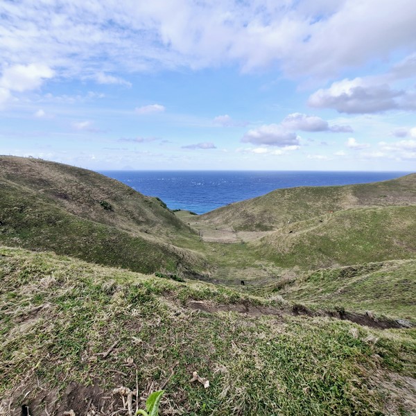
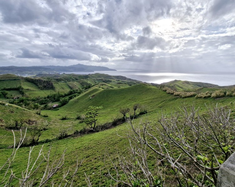
From Basco town proper, it was just a short 2.1-km. (5-min.) drive to our next destination – the famous Vayang Rolling Hills.  One of the most picturesque sights in the province, it is covered in verdant grass and patches of green trees.  These seemingly endless wave of hills, shaped by water and wind that gave them the undulating look they now have (as if they’re really “rolling”), are a perfect spot to relax and take in the province’s serene and laidback atmosphere.

The author, Grace and Jandy

Aside from the majestic sea of green grass, we also enjoy an unobstructed, beautiful and breathtaking view of the east and west side of Batan Island, with hedgerows (liveng) and Naidi Hills, on the one side, and of the Chadpidan boulder beach below, with waves crashing to the shore.

Mt. Iraya

Beyond is the majestic Mt. Iraya, Sabtang Island, Itbayat Island, and the deep blue West Philippine Sea. We also saw a number of healthy cows freely grazing on the grass in the hills and gentle slopes as many parts of Vayang are farmland (it is also called Vayang Ranch). Truly like Scotland in a tropical setting.

Cows grazing at the slopes

It is suggested that you visit this scenic viewpoint at around 5 PM, when the sun begins to set, as you could see the sky turn a warm shade of orange over the hills and islands.  The concrete road that crosses the site leads to Valugan Boulder Beach, another famous tourist spot on Batan Island.

Check out “Valugan Boulder Beach”

Hedgerows (liveng)

It was so windy that day that we were literally, as well as figuratively, blown away, making it hard to take decent pictures with hair flying all over the place.  Aside from being a favorite tourist destination, Vayang Rolling Hills is also a great place for pre-nuptial photo shoots. 

The West Philippine Sea seen beyond the hills

Vayang Rolling Hills: Songsong-Iraya Rd., Brgy. San Antonio, 3900 Batanes.

Valugan Boulder Beach (Basco, Batanes)

Valugan Boulder Beach

After our tour of the Dipnaysuhuan Japanese Tunnel, we gain boarded our van for the 8.3-km. (20-min.) drive to the 3-km. long, scenic Valugan Boulder Beach.

Check out “Dipnaysuhuan Japanese Tunnel”

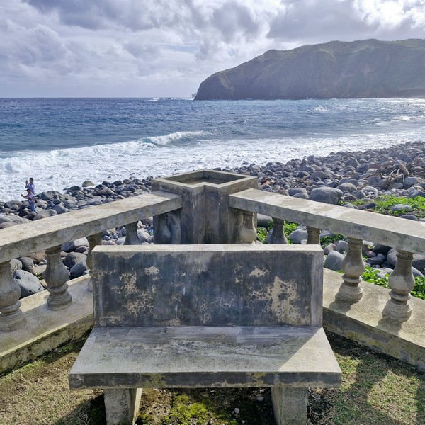
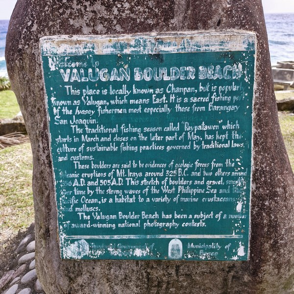
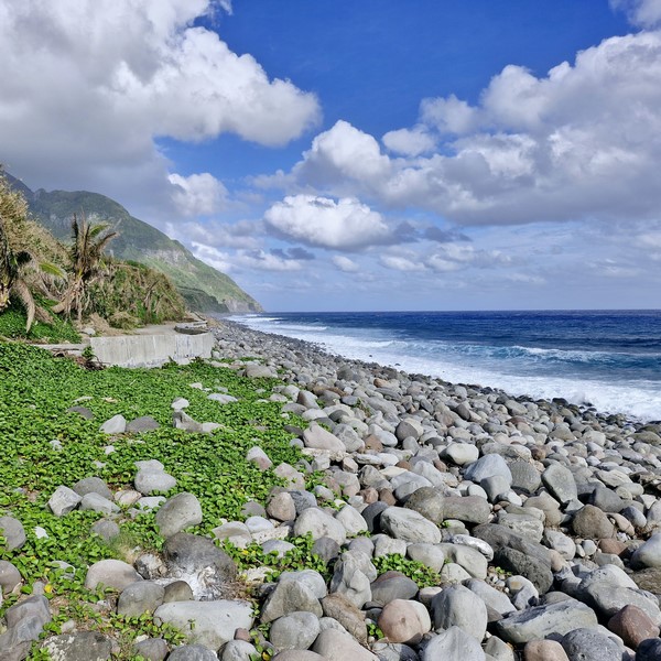
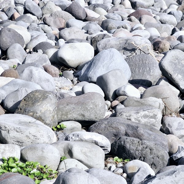
Known to the locals as Chanpan, this beach is located along the eastern (valugan means “east” in Ivatan) coast of Batan Island is, as its name suggests, made up of medium to big size boulders, of different colors, that help create an incredible landscape framed by almost vertical cliffs and rolling hills. Smaller pebbles and shingles litter the southern end.

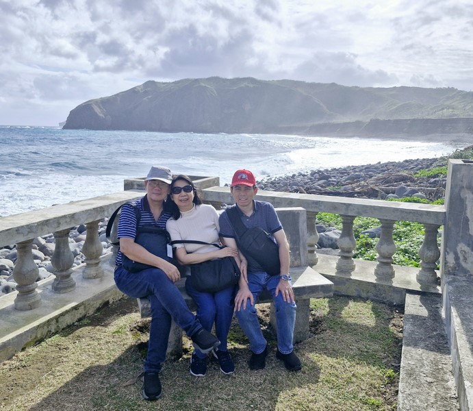
The author (left) with Grace and Jandy

The boulders here were said to have been coughed out around the northern half of Batan during a series of volcanic explosions, from 325 B.C. and 286 to 505 A.D., of Mt. Iraya, a nearby active stratovolcano, which also contributed to the formation of the impressive cliffs and rolling hills framing the beach.

Mt. Iraya seen at the end of the beach

These rough andesite rocks were then slowly polished, over time, by the tides and the mighty wind (which also help shaped the striking basalt cliffs) pushing the restless waves of the Pacific Ocean to lap the rough rocks.

The different size boulders along the beach

From the beach, only the loud whistling of the wind and constant rumbling of the Pacific Ocean can be heard as the waves come slapping the shore. While it is a beach, swimming is not allowed here due to the area’s rough terrain and the strong and unpredictable waves. Bringing home any stones from the beach is also prohibited.

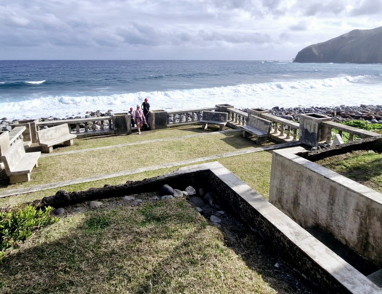
The concrete viewing deck with benches

On the rightmost area of the beach are small, intentionally segregated Zen stones piled on top of each other.  Surprisingly, this surreal and breathtaking landscape makes for a relaxing setting especially for photographers who come here to catch the sunrise.

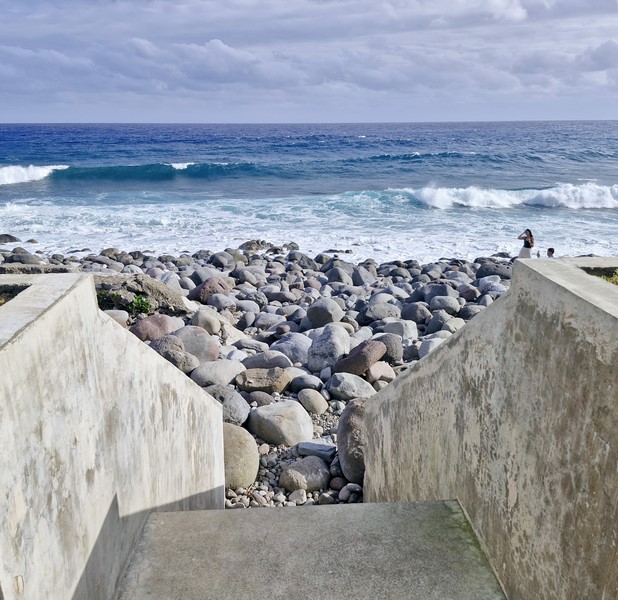
Stairs leading down to the beach

The waters off the coast are considered as a sacred fishing area of Ivatan fishermen (especially those from Brgy. San Joaquin) and the faypatawen, a traditional fishing season, is observed from March to the end of May. 

Grotto of the Blessed Virgin Mary

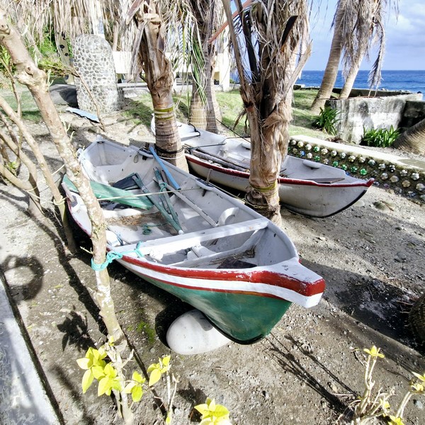
A tataya (a small, traditional Ivatan fishing boat)

Valugan Boulder Beach: Contra Costa Rd., 3900 Basco. 

How to Get There: Located 3 kms. from Basco town proper, this beach is just a short tricycle ride away. You can hire a tricycle to take you around North Batan, which includes Valugan Boulder Beach.

Pigeon Valley Viewpoint (Cappadocia, Turkey)

Pigeon Valley Viewpoint

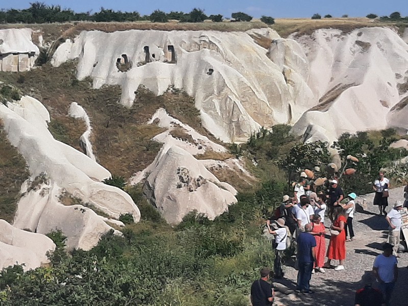
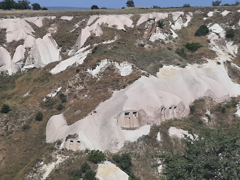
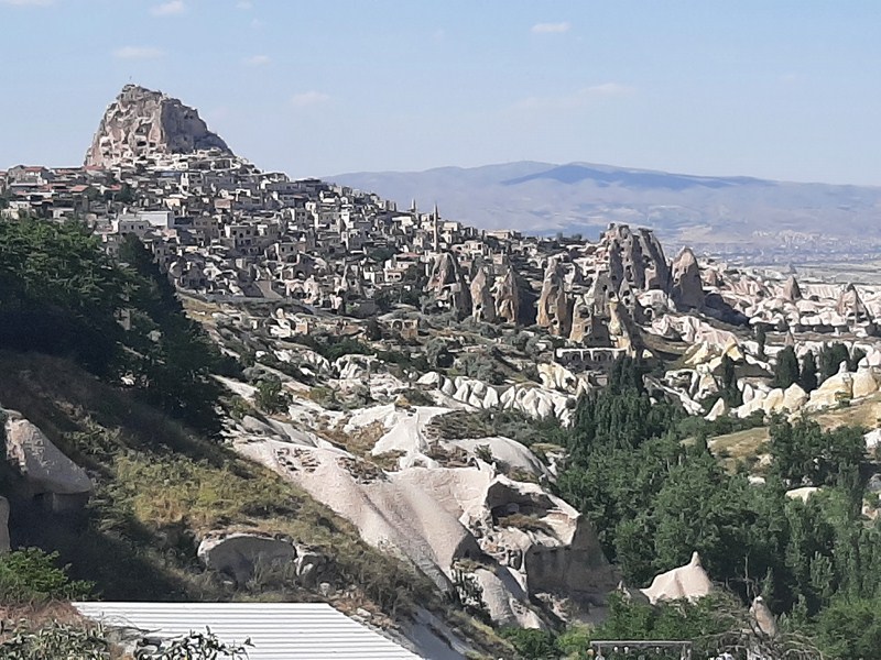
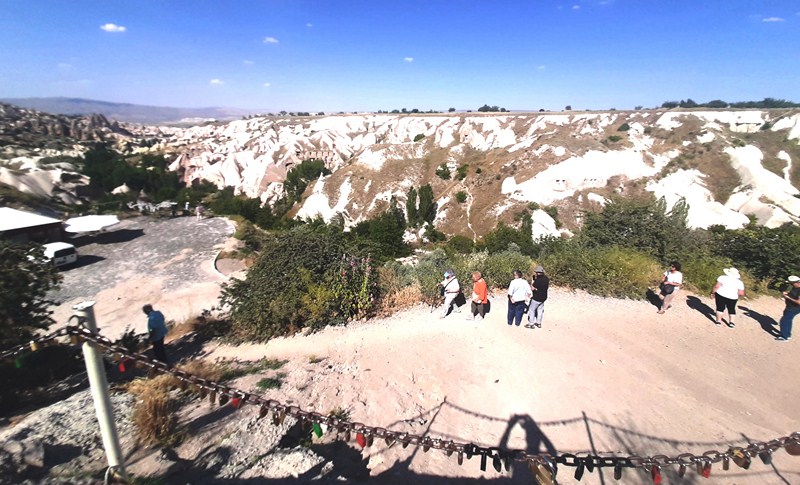
Prior to returning to our hotel, we made a short stopover at the Pigeon Valley (Güverçinlik Vadisi) Viewpoint. The valley, running between Uçhisar and neighboring Göreme (a walk of around two hours), has many pigeon-houses which were carved, over the course of the years, into the soft tuff rock on the sides of the fairy chimneys.

Pigeon houses carved on the side of the mountain

Inside were many niches where pigeons could roost. Nutrient-rich pigeon guano was widely used as a natural fertilizer into the 1970s. Pigeon droppings were also used to enhance the colors of the frescoes in the cave churches.

View of Uchisar Castle (upper left hand corner) and the villages below it

You can also see the otherworldly scenery of Uchisar Castle (Uçhisar Kalesi) perched on top of a rocky pinnacle.  One of the most prominent landmarks in Cappadocia, this ancient fortress, regarded as the tallest fairy chimney in the area.

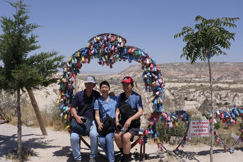
The author (left) with Grace and Jandy

This 60 m. ( 200 ft.) high turret of golden volcanic rock was sculpted by the elements and, later, by humans, the earliest of whom are believed to be the Hittites from the second millennium BC., followed by Byzantine settlers in the 4th century AD.  It boasts stunning, unparalleled and panoramic view of Uchisar village and nearby hamlets.

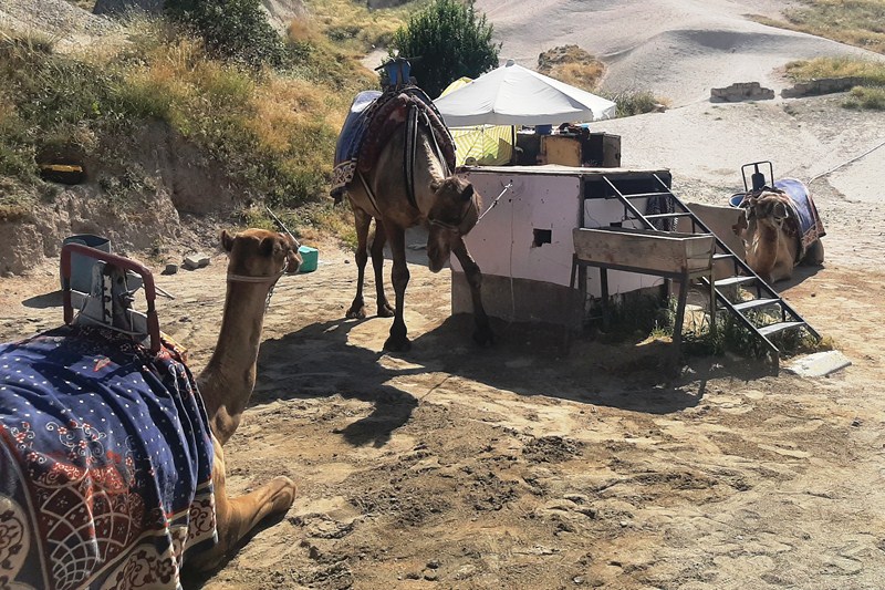
The viewpoint is home to cafes selling tea, coffee and light snacks as well as a few shops selling overpriced souvenirs and local craft.  Across the street, you can take pictures or ride, for a fee, with camels.  Near the edge is a touristy love picture site for photo ops.

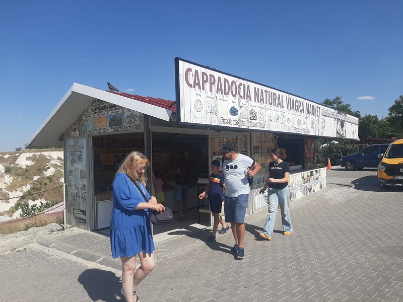
Cappadocia Natural Viagra Market

You can also feed the pigeons and sparrows with grain that can be bought at stores (1TL per cup). Also nearby is a hiking trail and the Cappadocia Natural Viagra Market, a store selling natural and organic Viagra, herbs, spices and different kinds of nuts (almonds, etc.) and dried apricots.

Camels for hire

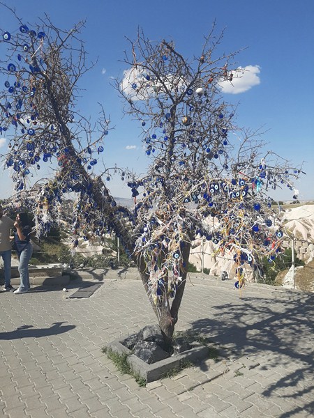
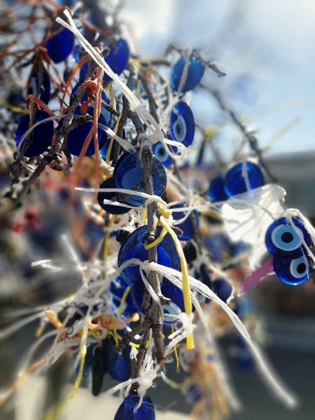
Within the area is an evil eye tree dripping with Turkish nazar boncugu (which literally means “evil eye bead”) amulets which look like small shiny fruit or glinting glass eyes.  These lovely, inky blue talismans have deep cultural symbolism in Turkey and Greece.

Evil Eye Tree

Symbolizing the jealous and envious looks of others, these eye-shaped amulets are fixed to anything perceived to attract greed, envy or ill will, to ward off evil.  People who buy these (1TL each) can hang it up the tree in the direction opposite to that of the person.

Nazar boncugu

Pigeon Valley Viewpoint: Aşağı, Adnan Menderes Cd., 50240 Uçhisar/Nevşehir Merkez/Nevşehir, Türkiye.

Devrent Valley (Cappadocia, Turkey)

Devrent Valley

After our exploration of the Fairy Chimneys of Pasabag, we returned to our van and made two stopovers, at viewpoints, before proceeding to our hotel.  The first was at the beautiful Devrent Valley in Cappadocia (locally known as Imaginary Valley).

Check out “Fairy Chimneys of Pasabag”

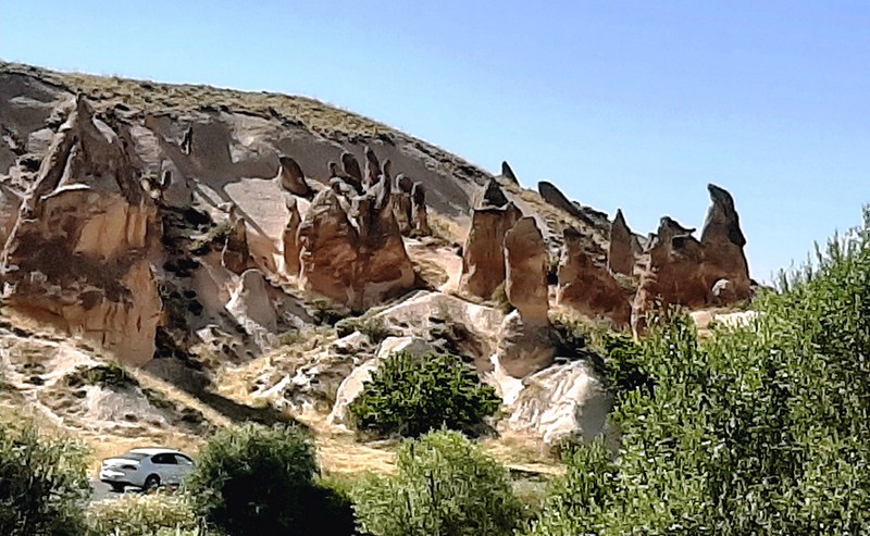
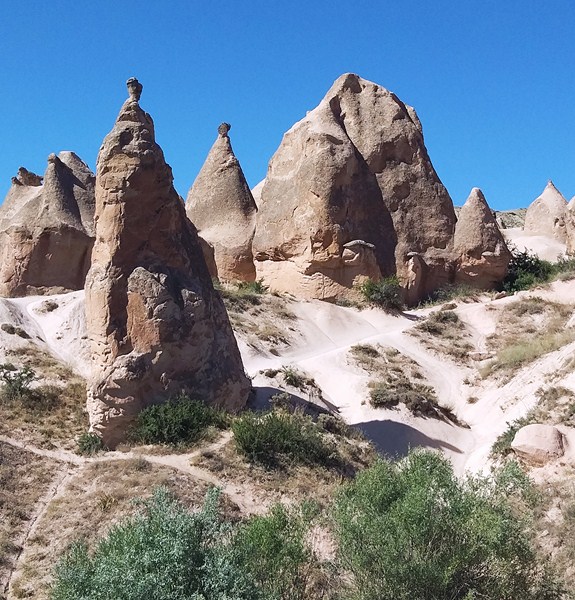
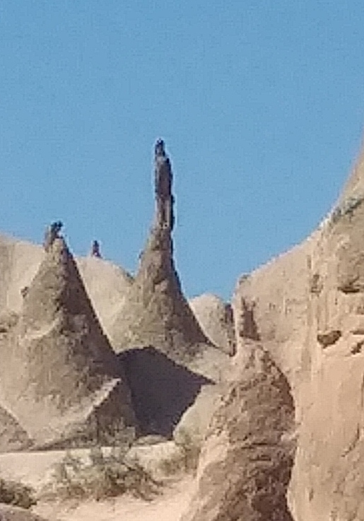
Nestled in the heart of Cappadocia, it is renowned for its surreal and otherworldly landscape (which has earned Devrent Valley the nickname “Lunar Landscape” or “Moonscape”) that sparks the imagination and transports you to a realm of wonder.  This enchanting valley, full of unique rock formations that are some of the best formed and most thickly clustered in Cappadocia, offers a unique experience like no other.

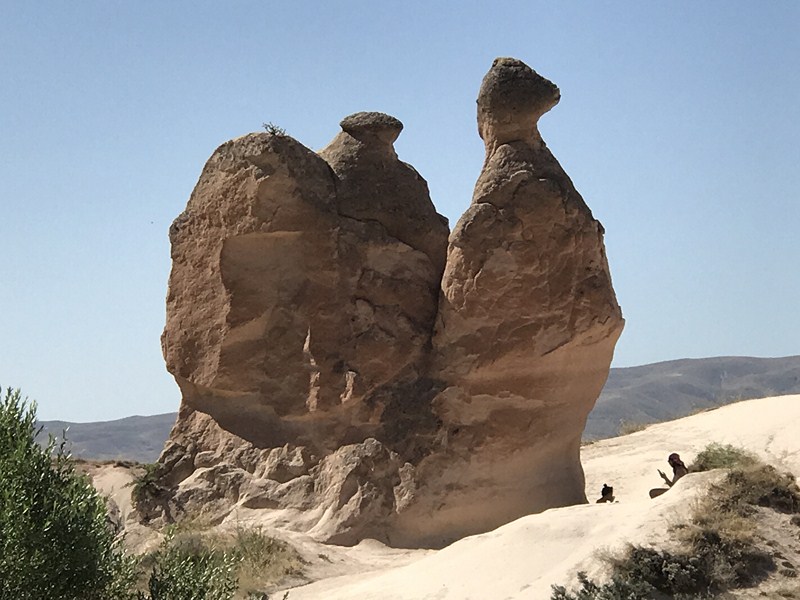
The Camel

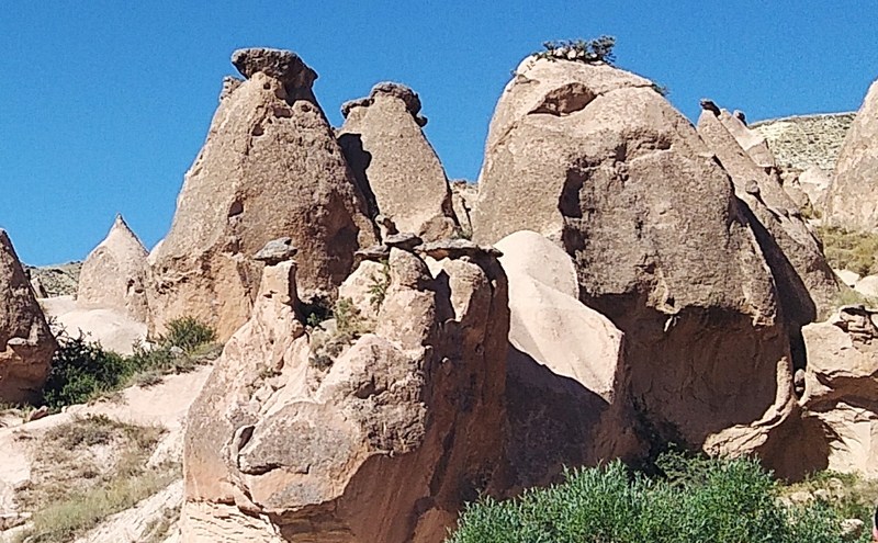
Most of the striking and stunning pink-hued or rosy rock cones are topped by flattish, darker stones of harder rock that sheltered the cones from the rain until all the surrounding rock was eaten away, over thousands of years by wind and water, in a process known to geologists as differential erosion, creating intriguing pillar-like shapes.

The Elephant

The beauty of this captivating spot in Cappadocia is that has very easy driving access and isn’t as crowded as the open-air museums and iconic cave dwelling locations. Devrent Valley was never inhabited by humans, making it a unique geological wonder.

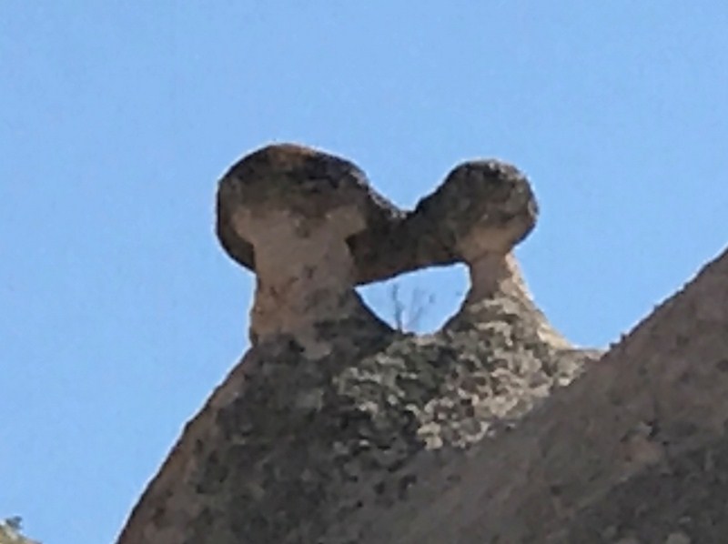
The Kissing Ducks

There are no rock-cut churches or castles to explore. It’s essential to keep in mind that the valley can get crowded, especially during peak tourist seasons. To avoid crowds, consider visiting early in the morning, late in the afternoon, or during lunchtime.

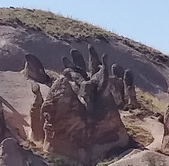
The Hand

As we ventured into this mesmerizing realm, we witnessed a natural masterpiece sculpted by centuries of wind and water erosion. At the entrance of the valley, one of the first sights that greet us was an enormous rock which looks like a camel. A lot more imagination is needed to spot the other whimsical animal-shaped (dolphin, seals, lions, bears, tigers, kissing birds, alligator, snake, etc.) rock formations. Other weird rock shapes resemble a Napoleon’s hat and a praying Virgin Mary. Devrent Valley left an indelible mark on my Cappadocia adventure, leaving me awe-inspired.

The Virgin Mary

Devrent Valley: Goreme El Sanatlari Carsisi No: 24 50180, Goreme, Cappadocia, Turkey. Tel: +90 384 271 2166. Fax: +90 384 271 2337. Email: info@newgoreme.com.  The entrance to the valley is free of charge.
How to Get There: Devrent Valley is located 11.3  kms. (a 20-min. drive) from Goreme, aproximately 1 km. from Pasabag Valley, 6.6 kms. from Avanos, and 15.6 kms. from Uchisar. If you’re staying in Urgup, it’s just a short 5.7-kilometer drive to reach this enchanting destination.

The easiest way to get there is by bus or rental car directly from either Göreme or Ürgüp. Buses run regularly throughout the day, every hour departure and take around 10 – 15 minutes. The ‘Blue Route’ on the hop-on-hop-off bus also includes Devrent Valley. Devrent Valley lies on the direct (east) road between Avanos and Ürgüp. There’s no public transport along this route but if it’s not too hot and you don’t mind a roadside walk, it’s easy enough to get here on foot from Zelve. From the Zelve site entrance, go about 200m back down the access road to where the road forks and take the right-hand road marked for Ürgüp. After about 2km you’ll come to the village of Aktepe (Yeni Zelve). Bear right and follow the Ürgüp road uphill for another 2km.To cut down on walking time, the Ürgüp–Avanos dolmuş can drop you off at Aktepe. Devrent Valley is surrounded by marked hiking trails that connect it with other valleys in the region.

Seoraksan National Park (Sokcho City, South Korea

Seoraksan National Park

Part of Cebu Blue Ocean Academy-sponsored South Korea tour

After our Korean breakfast at Natural Soul Kitchen Restaurant at Lotte Resort Sokcho, we had a whole day to explore the 398.22 sq. km. (153.75 sq. mi.) Seoraksan National Park (seoraksan-gungnipgong-won), located 3 hours northeast of Seoul.  A national park in South Korea, it is listed by the South Korean government with UNESCO as a tentative World Heritage Site.

In 1965, the government designated the area as a 163.6 sq. km. (63.2 sq. mi.) nature reserve  and, in 1982, UNESCO designated it as a biosphere reserve, the first in the country. On March 24, 1970, it became the first Korean national park to be named under the National Park Law. On August 9–16, 1991, the 17th World Jamboree (the biggest event for boy/girl scouts and held every 4 years) was held in Mount Sorak.

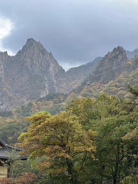
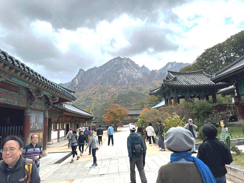
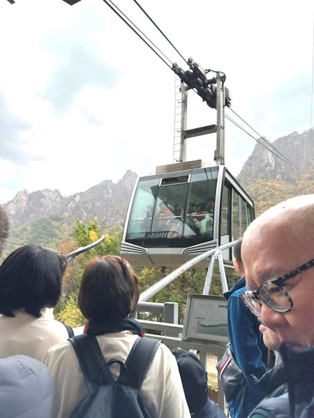
It was a straightforward 12 km. drive from Sokcho to Seoraksan (translated as “Seorak Mountain”) National Park.  Highlights of our visit was our exploration of Sinheungsa Temple, one of two Buddhist temples and cultural landmarks within the bounds of the national park (the other is Baekdamsa), and a cable car ride, to the Upper Cable Car Station located 700 m. (2,297 ft.) above sea level, where we enjoyed an open view of various famous attractions such as Ulsan Peak (ranked as the most popular hikes at Seoraksan National Park due to the unique rock formation and the fabulous views from the Rock and Manmulsang Rocks. 

Check out “Singheungsa Temple” and “Seoraksan Cable Car”

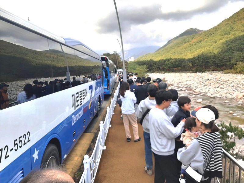
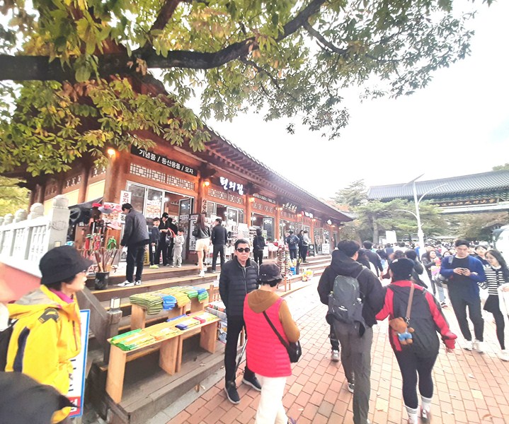
The long queue for a bus ride …..

Located on the east-central Korean peninsula, it is divided into the eastern section or outer section (Oeseorak), western section or inner section (Naeseorak) and the southern section (Namseorak).  Te reserve includes the Dinosaur Ridge, Injegun, Yanyanggun, and Sokchosi and some 28 mountain peaks (all part of the Taebaek mountain range measuring over 1,200 m. above sea level, the tallest being the 1,708 m. (5,604 ft.) high Daecheongbong (also called Seorak meaning “snowy peak”), the third highest peak in South Korea.

The ranges are composed largely of dissected granite and gneiss. The annual precipitation is about 1,000 mm. (39 in.) in Inner Soraksan and 1,300 mm. (51 in.) in Outer Soraksan. Popular with tourists and nature enthusiasts, it is home to many rare taxa of flora (the park is valued for its floral diversity) and fauna (1,562 animal species have been classified so far).

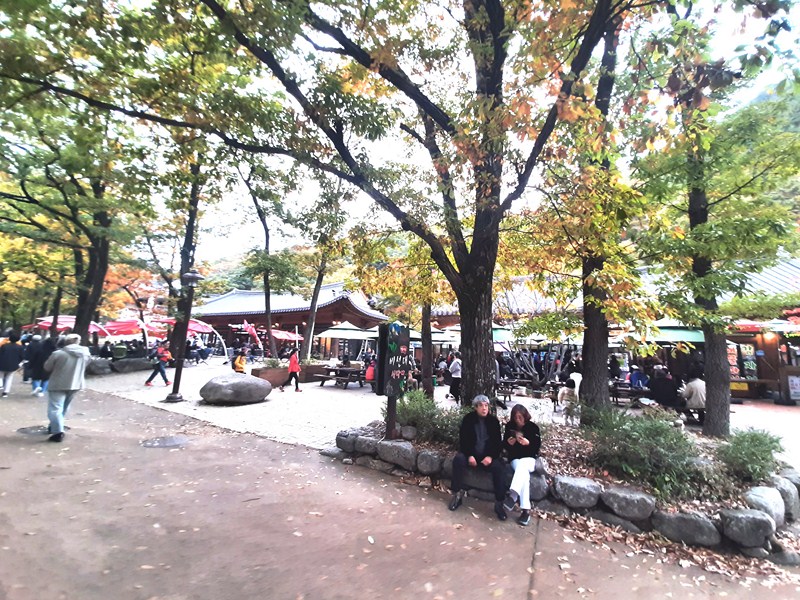
Sogongwon

The park is home to about 1,013 species of known plants, with 822 vascular plant species. On the southern slope, pine trees such as the Siberian pine are abundant while the northern slopes of the mountain range are characterized by oaks and other deciduous trees. Thuja grow in the deep valleys while dwarf pines and yews grow on low and high slopes. Juniper, hawthorn, and Manchurian fir can also be found.

Shops near Sogongwon

Other plants include forsythias, saw-worts and rare Hanabusaya asiatica.  Local fauna include otters, Siberian flying squirrel, kestrel, Chinese sparrowhawk, lenok, Chinese minnow, spotted barbel and endangered Tristram’s woodpecker, Korean goral, and the increasingly rare Korean musk deer.

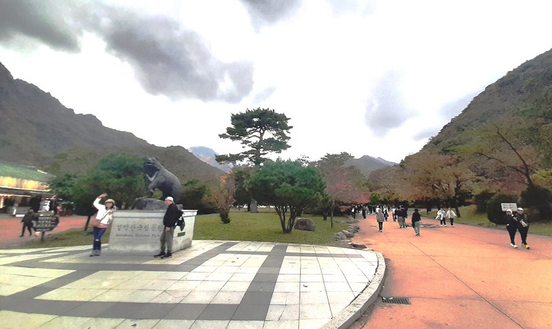
Statue of an Asian Black Bear

As our visit was during a weekend, the park was packed with local and foreign tourists.  Luckily, we were able to park the car just across the bus waiting station where Frank, James, Kim and I joined a long queue of visitors waiting for the bus (which leaves every ten minutes) bound for Seoraksan National Park.

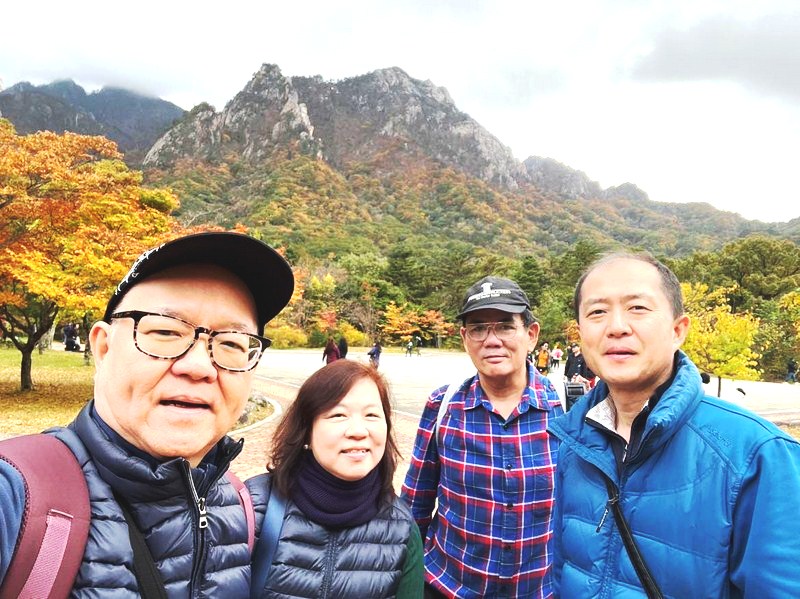
L-R: James, Kim, the author and Frank

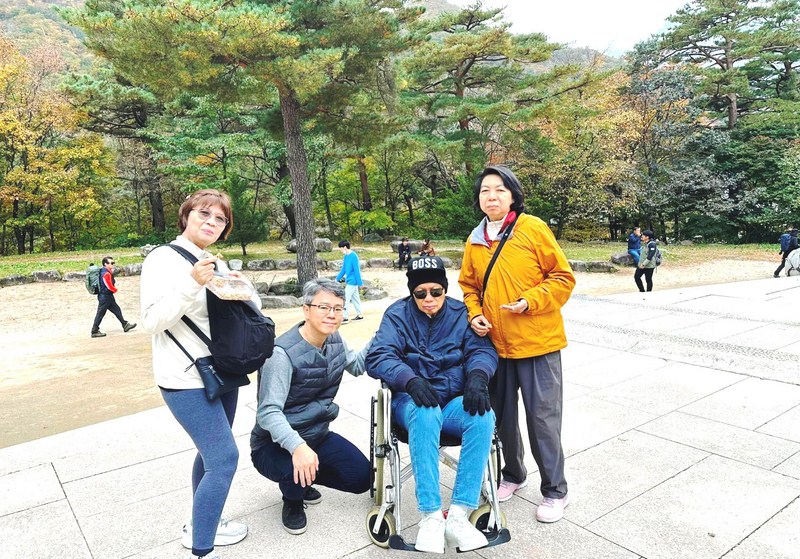
L-R: Mamel, Injun, Engr. Ganzon and Grace

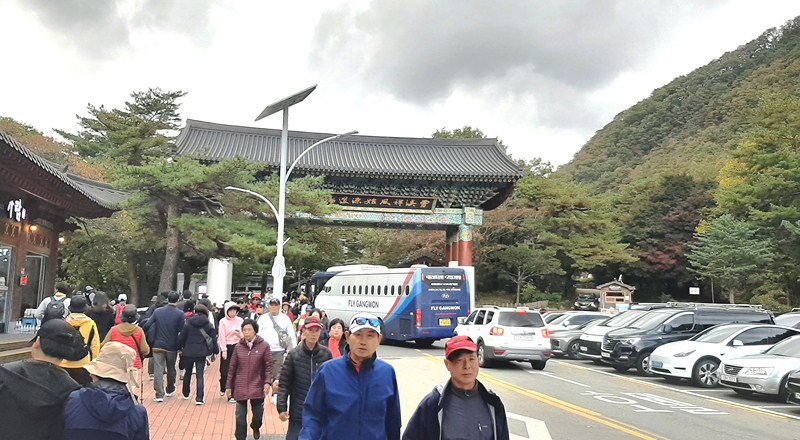
Once on board, the bus ride took around 20 to 25 minutes and we were all dropped at the bust stop across Kensington Stars Hotel (the most convenient place to stay in the park.  We then had to walk, for about 10 mins., to get to Sogongwon (translated as “small park”), the entrance of the park with the most attractions and visitors.

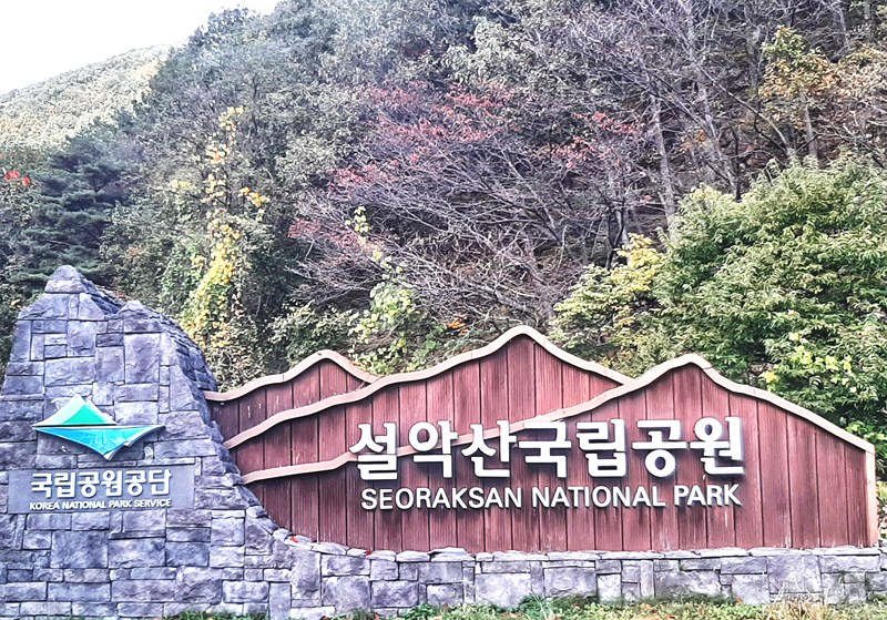
The entrance of the park has gift shops, shops selling hiking gear, food and refreshment shops and small restaurants places (mostly Korean but very few Western). After we walked past the entrance, there is statue of an Asian Black Bear (the icon of the park’s residents) on top of a square structure bearing “Seoraksan National Park.”

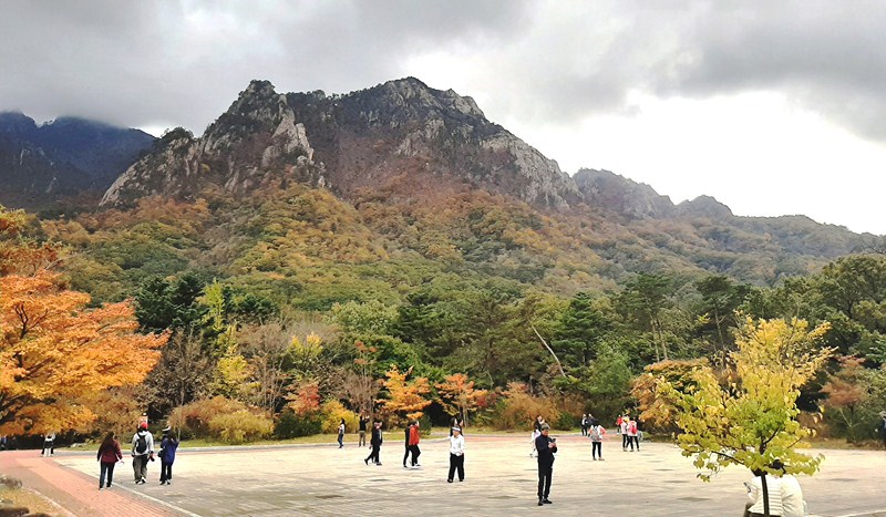
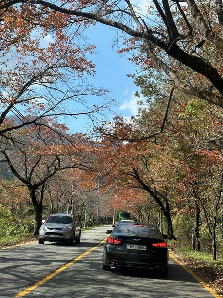
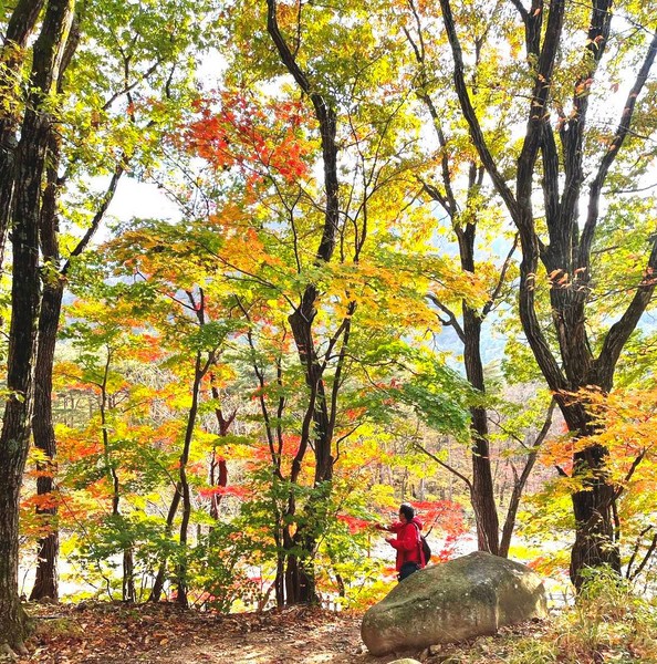
The red, yellow and orange hues of autumn…..

Koreans love hiking and this is very evident in Seoraksan National Park. On a nearby huge board, you can find a number of amazing and different hiking and walking trails to the attractions in the park waiting to be explored, ranging from short 1-hour walks to full 2-day treks into the wilderness, each varying in length and difficulty.  In fact, past the entrance are signposts showing directions to two beautiful waterfalls – Towangseong Falls Observatory (2.9 kms.) and Biryongpokpo Falls (2.4 kms.).

Sinheungsa Temple

The 30-min., easy,1.5-km. Gwongeumseong Hike can be done after riding up the cable car. The 1.5 to 2-hour, easy Biseondae Hike features relatively flat out-and-back style trail walking alongside the water.  The 2 to 3-hour, moderate 3 Waterfalls Hike takes you past Yukdam Falls, Biryong Waterfall and to the aforementioned observatory of Towangseong Waterfall. The final section is tough as it is a series of steep stairs for 500 m.  The fairly difficult, 3 to 4-hour Ulsanbawi Rock Hike features lots of lots of stairs but the views at the top are absolutely incredible. The relatively short (3 to 4 hours) but difficult, 3.6-km. Geumganggul Cave Hike is quite the challenge, with a lot of elevation.

Seoraksan Cable Car

However, aside from the Sinheunsa Temple visit and Seorak Cable Car ride, we came to the national park for another reason. Every autumn, Seoraksan National Park, offering some of the most beautiful scenery in South Korea, is one of the first and most impressive places to see and enjoy the beautiful autumn foliage hues of red, yellow and orange which peaks in mid-October, the time of our arrival.

Unification Stupa

Seoraksan National Park: Seoraksan-dong, Sokcho-si, Gangwon-do, South Korea.  Tel:  +82-33-801-0900.  Fax: +82-33-801-0969.  Open daily, 6 AM to 8 PM. The cable cars operate from 9 AM to 6 PM. Admission: ₩4500 (adult, age 20 to 65), ₩2000 (youth, age 14 to 19) and ₩1000 (children, age 8 to 13). Cable car tickets cost ₩ 11000 for adult (middle school students or older) and ₩7000 for children (37 months to elementary school).  Children under 36 months can ride the cable car for free.  Coordinates:  38°07′30″N 128°24′58″E.

How to Get There: In Sokcho, take bus 7-1 or 7, which run on 30-minute intervals, at the bus stop opposite the Sokcho Express Bus Terminal, to Outer Seorak (Oeseorak).  The whole bus journey takes about 30 minutes.

Cebu Blue Ocean Academy: Building 5, EGI Hotel and Resort, M.L. Quezon National Highway, Looc, Maribago, Lapu-Lapu City, Cebu 6015, Philippines.  Tel: (032) 888-9868.  E-mail: pinesbaguio@gmail.com.  Website: www.cebublueocean.com.  Baguio City (Benguet) Sister School: Pines International Academy, Romel Mansion, 3 Ignacio Villamor St., Brgy. Lualhati, Baguio City, Benguet, Philippines. Tel: 1 754-255-9818. E-mail: pinesbaguio@gmail.com. Website: www.pinesacademy.com.