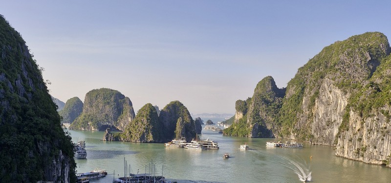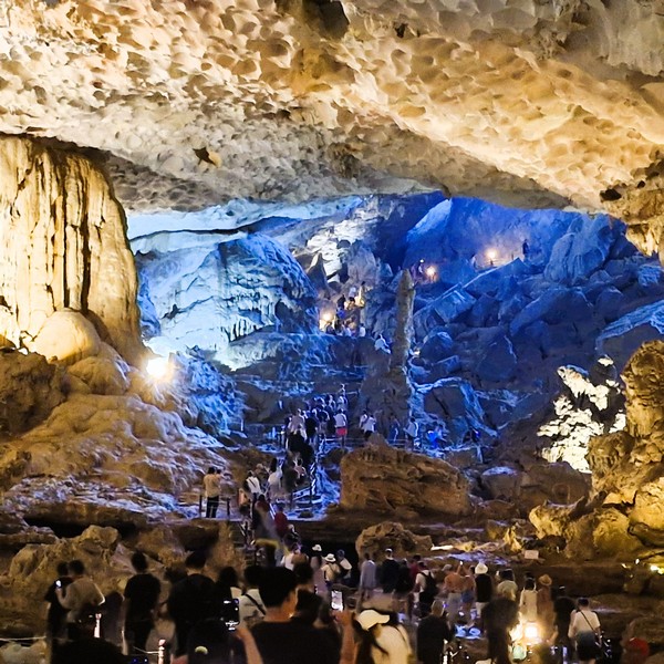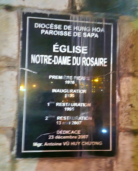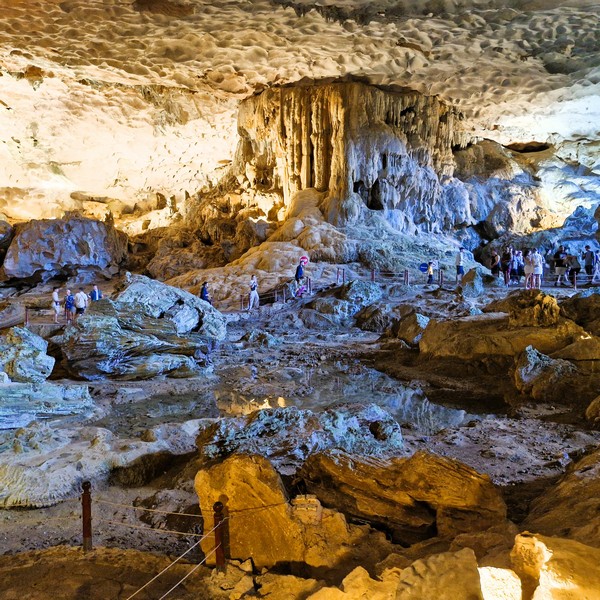
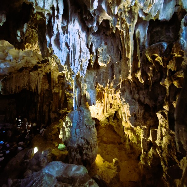
The large, mysterious and beautiful Sung Sot Cave (also called “Surprising Cave”), on Bo Hon Island in the center of Ha Long Bay and the Tonkin Gulf, is the largest (it can accommodate up to 1,000 visitors at a time) and, possibly, the most prominent and most frequented by visitors of all the caverns in Halong. Situated in a limestone massif, with an extremely developed karst terrain, is known for its impressive stalactites that hang from the ceiling, stalagmites that rise from the floor and vast, multi-chambered interior.
In 1901, French geologist Henri Mansuy, in search of minerals, discovered this cave, describing it as “a cathedral crafted by nature herself,” giving rise to the moniker Grotte de la surprise, “the cave of surprise.” However, this name was not officially recognized until nearly 40 years later when a French travelogue was published in 1938. In 1993, just one year before UNESCO declared Ha Long Bay’s core region as a World Natural Heritage site, Sung Sot Cave welcomed its first visitors. Dubbed the “Opera House of Ha Long Bay,” it was named one of the top ten most beautiful caves in the world by the Czech Association of Travel Agents and Brokers.
According to legend, thousands of years ago, during the reign of King Hung, the Van Lang kingdom faced an invasion by the Yin from China. In this moment of crisis, Thanh Giong, a three-year-old boy, miraculously appeared to aid the king. Riding a colossal iron horse and wielding a mighty sword, Thanh Giong, with extraordinary strength and courage, defeated the invaders. Breathtaking Halong Bay is said to be the site of this epic confrontation. After the battle, Thanh Giong ascended to heaven from this cave, leaving behind his legendary steed and weapon.
Ha Long Bay has many other caves with varying degrees of accessibility and visitor numbers, some of which may be affected by tourism. Other caves with stalactites exist in the bay. Cap La Cave, in the Bai Tu Long Bay area, known for its unique stalactites and pristine nature, though it may not be currently accessible to visitors. Sung Sot Cave is an old phreatic cave which also include Tam Cung, Lau Dai, Thien Cung, Dau Go, Hoang Long and Thien Long.
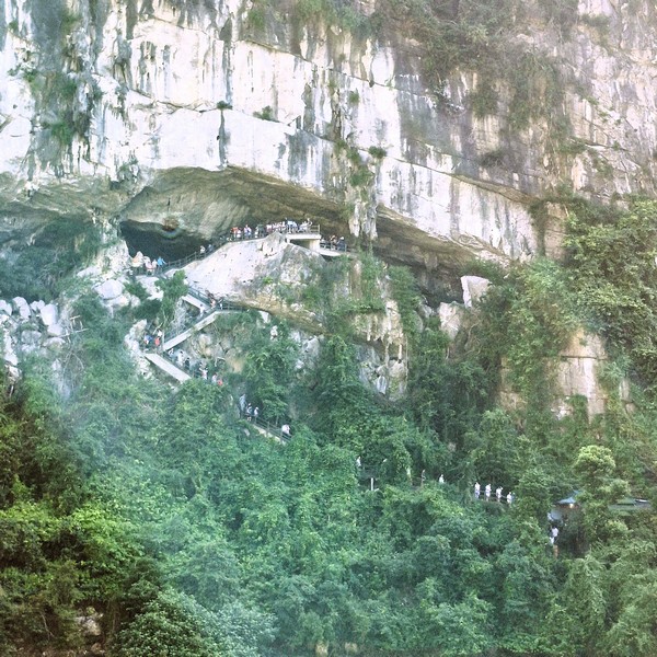
Nowadays, these caves lie at various heights. From its truncated entrance chambers on a ledge high on the cliff, a passage of more than 10 m. high and wide descends to the south. Covering a total area of more than 12,000 sq. m., the cave is divided into three chambers with a wealth of stalagmites of various shapes.
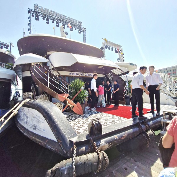
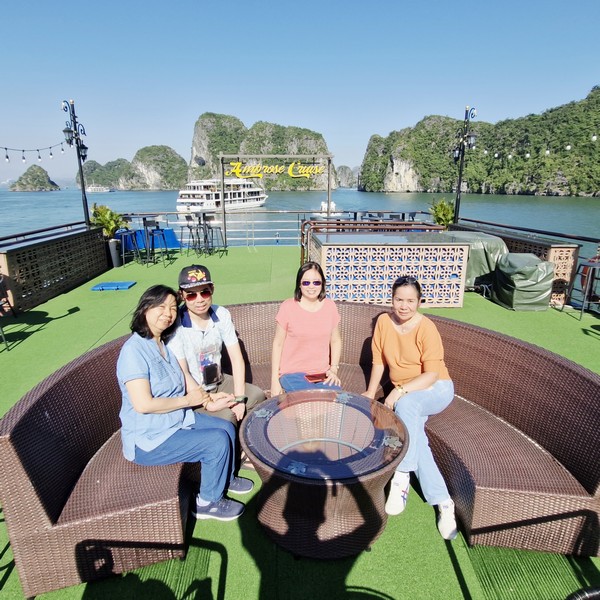
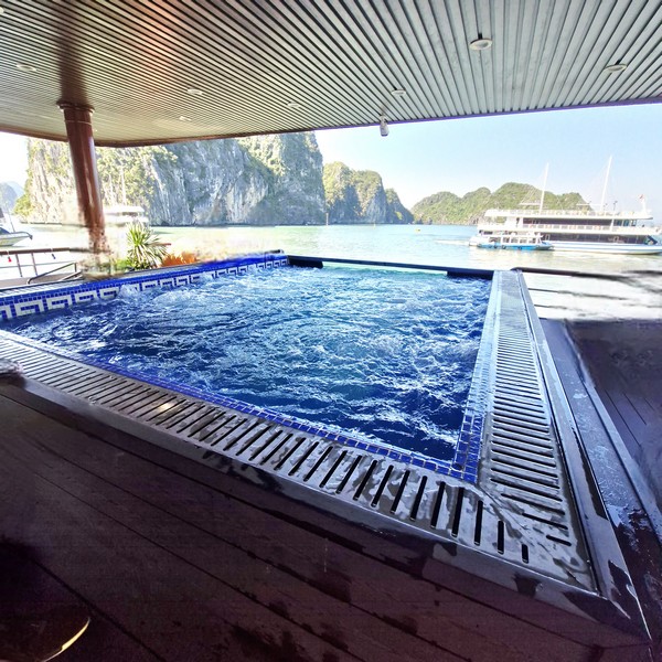
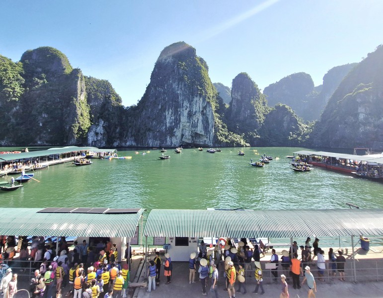
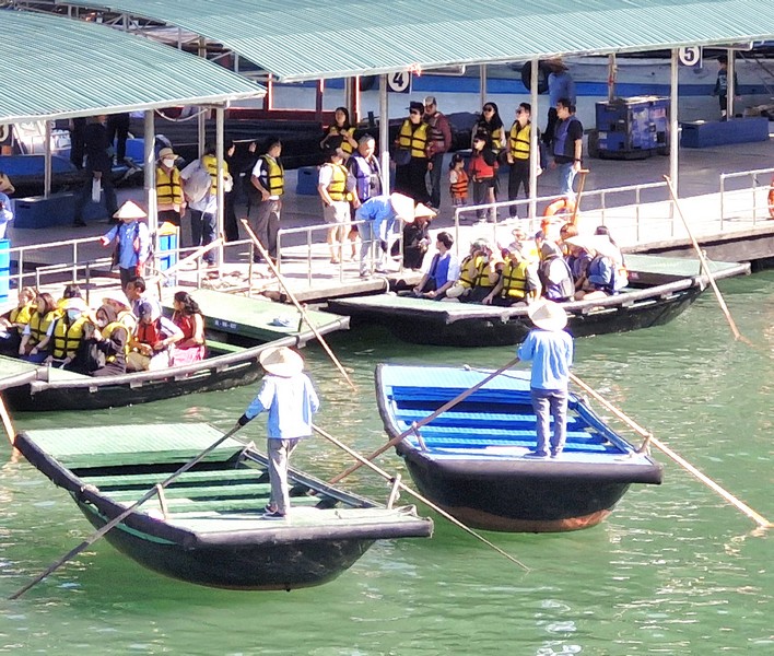
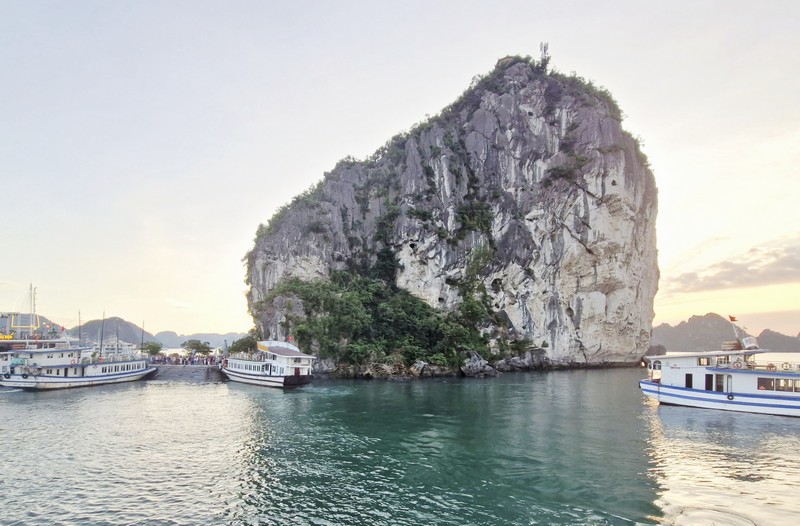
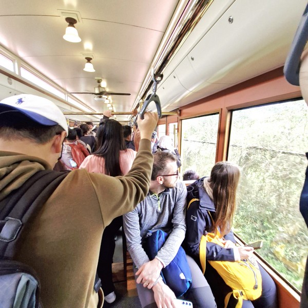
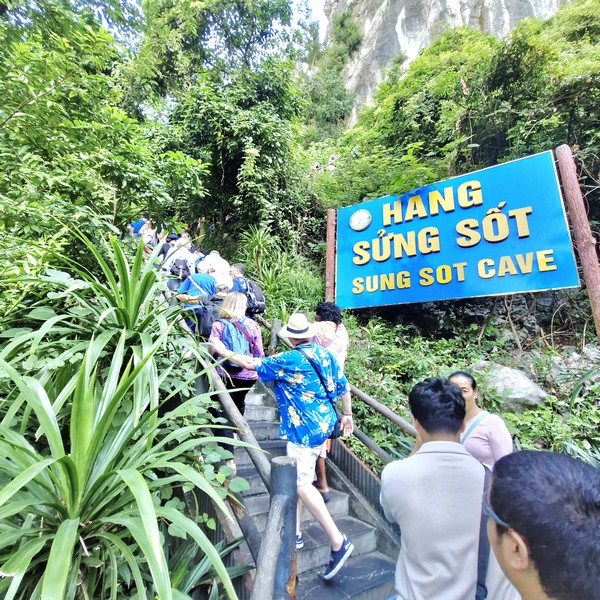
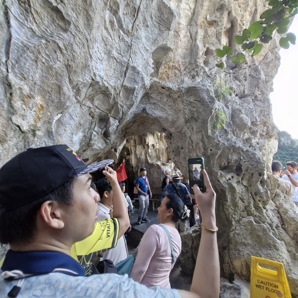
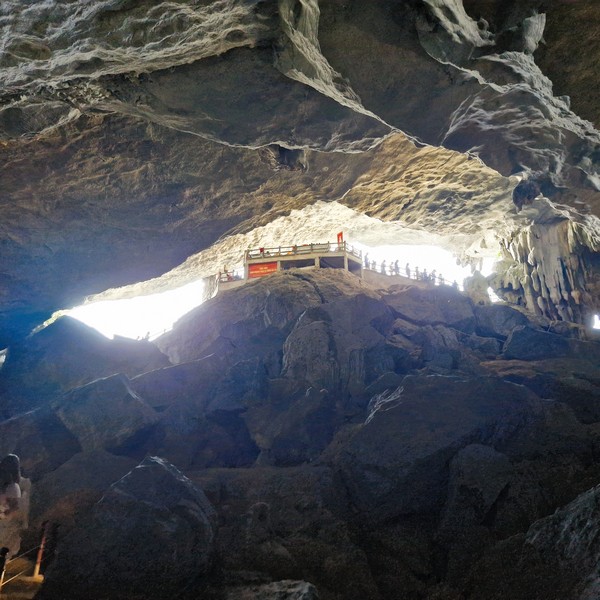
The island, and its cave, was the second stop of our Ambrose Day Cruise. Upon arrival at the island, Jandy and I, as well as other tourists from other boats, disembarked and queued up to climb around 100 winding stone steps, surrounded by lush forests, and then descend 10 stone steps to reach the cave entrance which is a small rock breach, 25 m. above sea level, halfway up the limestone mountain.
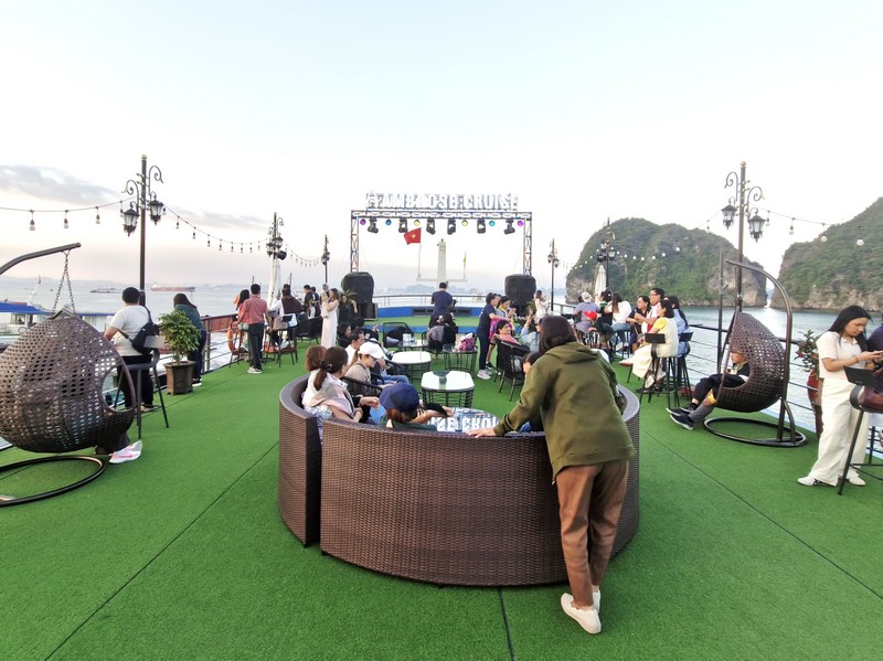
Check out “Ambrose Day Cruise”
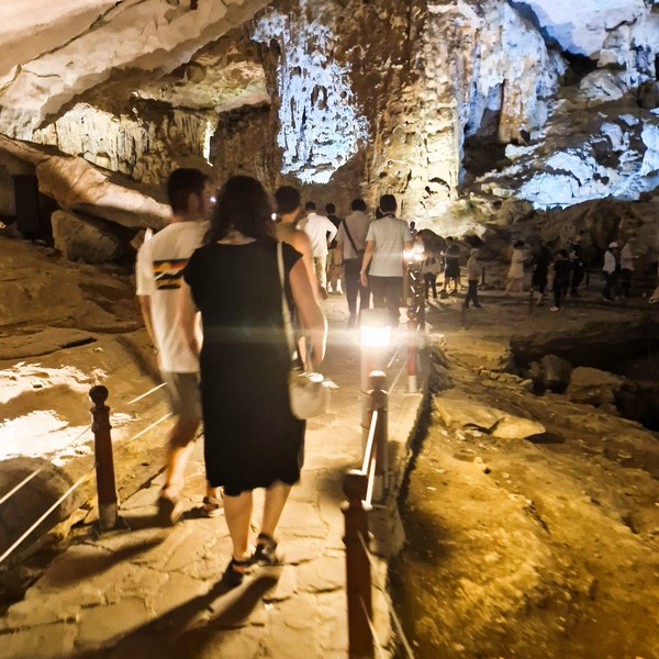
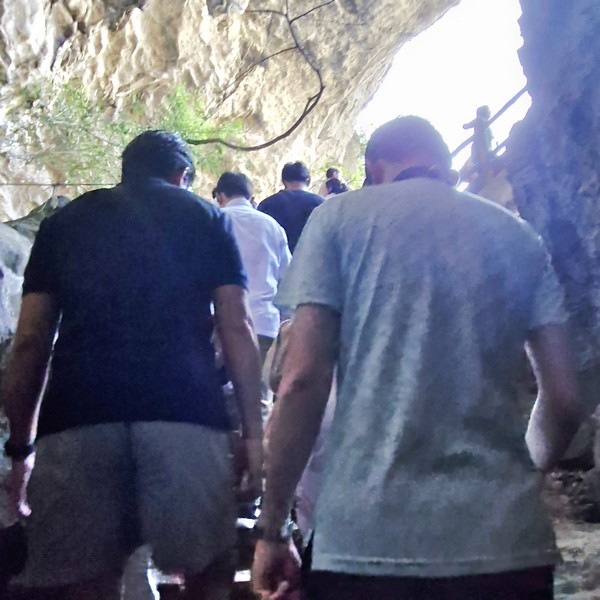
The path inside the cave was through an 800-m. long stone walkway, with gradual ups and downs, and lit, with colorful lampposts, to highlight its features, creating a vivid tableau and transforming the cave’s cold, empty feeling into a lively, captivating scene. Some parts have a diffused orange light that creates a fanciful atmosphere, making the space more mysterious and attractive. A dry cave, it allows for comfortable one-way exploration on foot, with a separate entrance and exit.
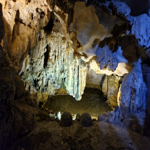
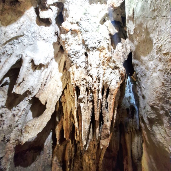
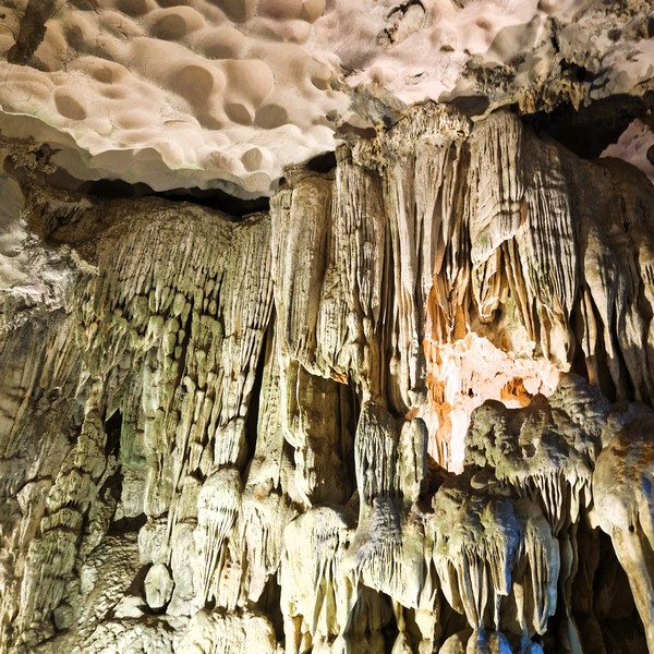
At the. first chamber, the smallest of the three chambers at nearly 3,000 sq. m, is likely a “waiting room.” Here, there is a small, serene and shallow freshwater lake formed by rainwater trickling through the limestone cracks in the cave ceiling, with clear water that allows you to view the lake’s bottom, adding to the chamber’s mystical ambiance. Its ceiling is covered with a layer of “velvet carpet,” with gleaming stalactite chandeliers hung 25 to 30 m. high in the outer chamber, including stone sculptures, banyan trees, dinosaurs, elephants, flowers, seals, etc.
The “Stone Waterfall,” on the eastern wall, is a massive, 18-m. wide flowstone formation that appears to be frozen in mid-flow. Created by centuries of mineral-rich water flowing down a cave wall, its varying mineral content creates striking color variations ranging from pure white to amber and deep russet tones.
The “Elephant,” near the transition between the first and second chambers, is a stalactite-stalagmite combination with a massive body created by the joining of the ceiling and floor, a clearly-defined trunk and tusks formed by small stalactites.
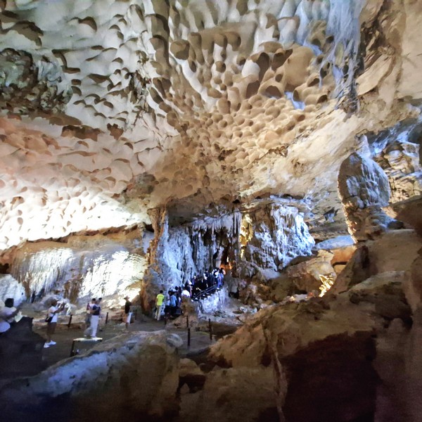
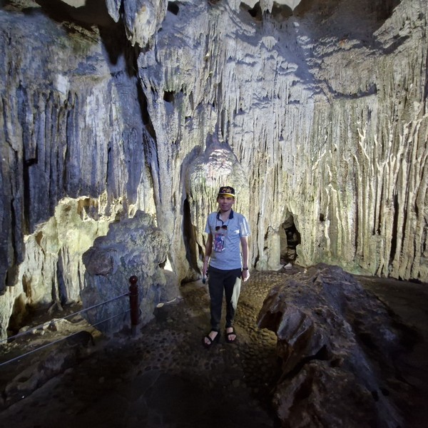
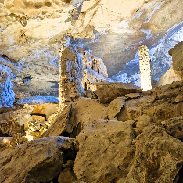
The second chamber (known as the “Royal Garden”), stretching an impressive 7,000 sq. m., is connected to the first chamber by a narrow rock path. It opened to an enormous space with and enormous freshwater lake, stunning rock formations and huge and beautiful stalactites and stalagmites in unique and interesting shapes such as a buddha, a bird, a monkey climbing on the rock column, etc.. The “Royal Garden Stone,” a massive, flat-topped formation in the center of the chamber, resembles a royal viewing platform surrounded by stalagmites that look like courtiers paying homage.
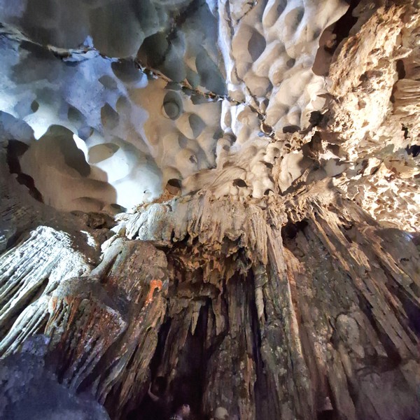
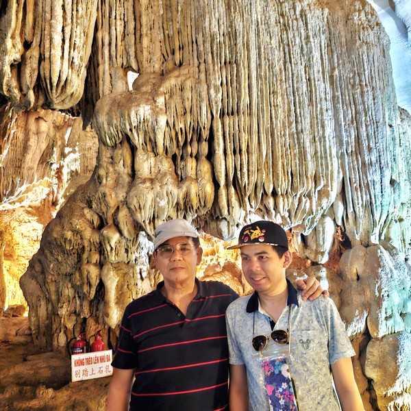
The “Stone Curtain,” along the western wall, are thin, delicate (some just 2 to 3 cms. thick) and wavy stalactites that create an appearance of stone curtains or draperies, with beautiful banding patterns caused by varying mineral content. The “Sword Lake,” a small, sword-shaped pool in the center of the chamber, is said to mirror Hanoi’s Sword Lake. During certain lighting conditions, the stalactite’s reflection creates the illusion of a sword rising from the water. The “Buddha’s Palm,” a flat, hand-shaped formation near the exit, is believed to resemble Buddha’s hand in blessing. Though conservation efforts now discourage this practice, many visitors still touch this formation for good luck.
Inside this chamber, there are also said to be monkeys scurrying around in quest of food and fun. Compared to the first chamber, this chamber’s karstification process has resulted in a clearer and more ventilated atmosphere due to its ceiling being peppered with thousands of small holes or natural skylights that creates magical light beams during midday hours. There are also several delicate rimstone pools, with crystal-clear waters reaching depths of 30 cms. that reflect the surrounding formations, contain unique microorganisms that have adapted to the cave environment.
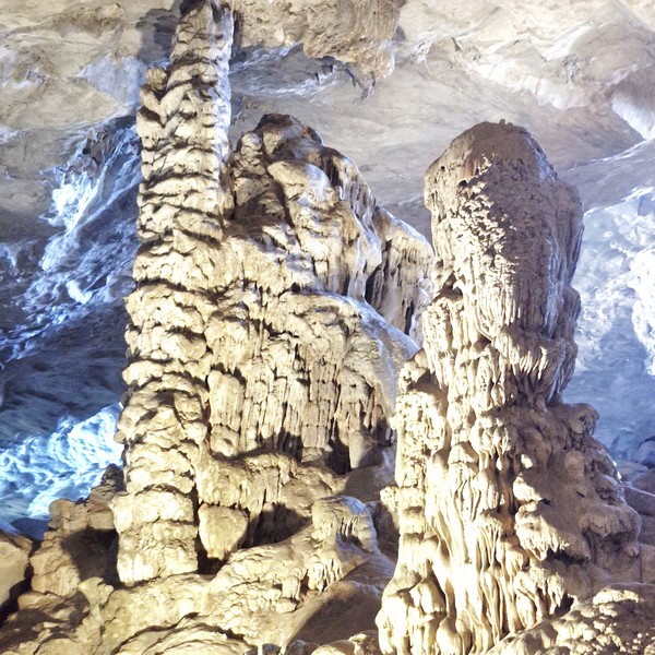
The truly breathtaking third and last chamber, further inside, is the biggest chamber, able to accommodate thousands of people. Inside is a 12 m. high rock formation said to be the petrified form of the legendary, stern-faced Vietnamese hero Thanh Giong.
Near the entrance is a stone block, fashioned like a massive, battle-ready horse, and a long sword that Thanh Giong left behind to drive away evil spirits. Also inside the cave are little ponds and lakes which are regarded as the hoofprints of Thanh Giong’s horse or Giong’s footprints. The cave’s highest point is a “royal garden” with a lake, many plant species, several bird species and panoramic views of the bay.
The final ascent to the cave’s exit took around 275 steps plus another 250 steps, another physical effort, down to the dock. Thought beautiful, with stunning natural formations and a cool, humid environment, our cave exploration was very tiring due to the inclines.
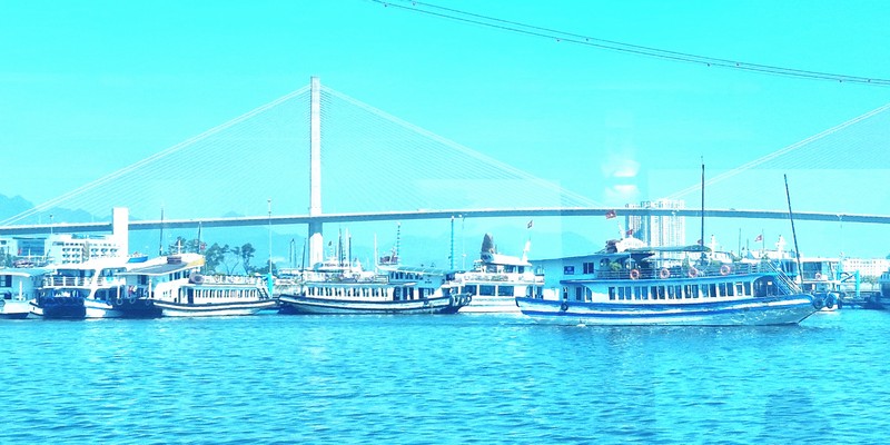
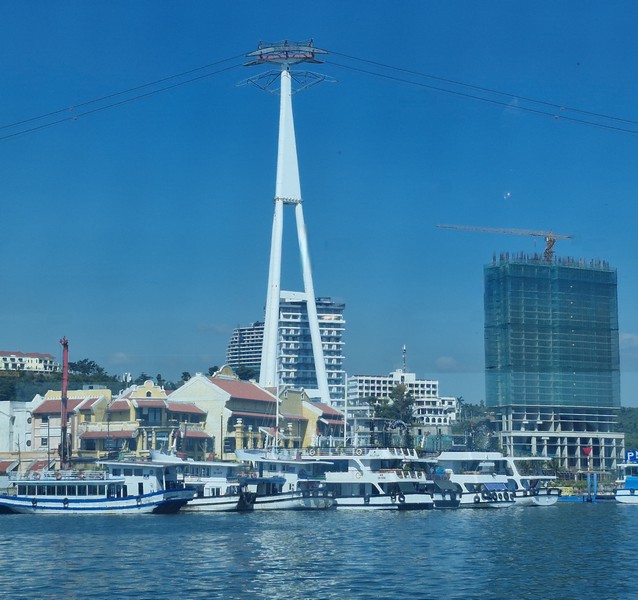
How to Get There: Sung Sot Cave, one of the destinations in the tour route 2 (one of 6 routes that bring visitors around Halong Bay), is a short boat ride, from two major ports in Halong – Tuần Châu Wharf (about 12 kilometers from Halong city center) or Halong International Cruise Port (it came into operation in 2019 and is closer to the city center and hence easy to travel), to the island.
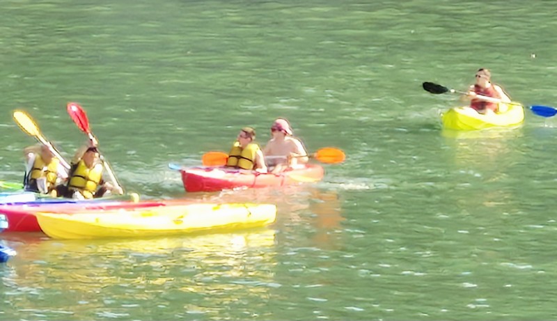
To visit Sung Sot cave, travelers must first purchase entrance tickets to the harbor and then boat tickets. Tickets can be purchased at the booth on the right of the entrance of Tuần Châu Wharf. If you want to visit this cave, you need to buy a ticket for route 2, the only one with swimming and full of all kinds of experiences, from visiting caves, boating (or kayaking), swimming, sightseeing and relaxing. This is a half-day tour that lasts from noon to evening. It includes attractions such as Cave Park Conservation Center – Soi Sim Island, Ti Top Island, Sung Sot Cave, Bo Nau Cave, Ho Dong Tien Cave, Luon Cave, Trong Cave, and Trinh Nu Cave.
Entrance tickets for route 2:
Day trip ticket: VND 290,000 (USD 12.1) per person
Ticket for 2 days and 1 night: VND 590,000 (USD 24.6) per person
Ticket for 3 days and 2 nights: VND 790,000 (USD 33) per person
Boat tickets:
The boat fare for individual passengers for route 2 (including Sung Sot cave) is regulated by Halong Bay Management Board as VND 200,000 (USD 8.4) or VND 250 000 (USD 10.5)/pax + entrance ticket (not included) including food, drink and 50 000 VND (2.1 USD)/pax ticket for bamboo boat/kayaking and tour guides). The tour lasts from 5 to 6 hours. The departure times of the boats are 6:30 – 8 AM and 12 – 1:00 PM.