Carlton Gardens
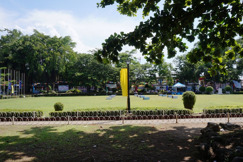
The 26-hectare (64-acre) Carlton Gardens, a World Heritage Site located on the northeastern edge of the Central Business District, is bounded by Victoria Street, Rathdowne Street, Carlton Street, and Nicholson Street.Often called the Exhibition Gardens, it was designed by Edward La Trobe Bateman and laid out in the late 1850s. Most of this work was obliterated when the Gardens were redesigned for the 1880 Melbourne International Exhibition and the central third excised to accommodate Joseph Reed’s Royal Exhibition Building.
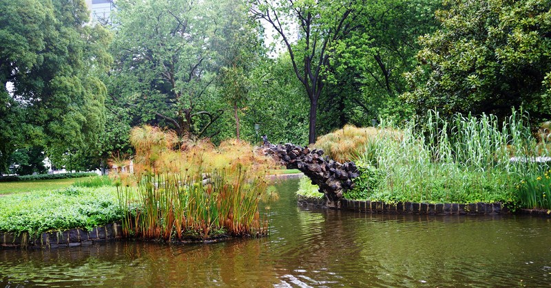
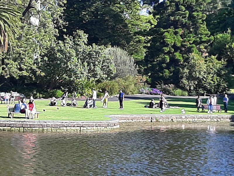
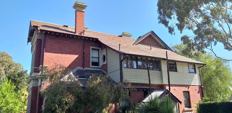
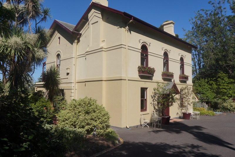
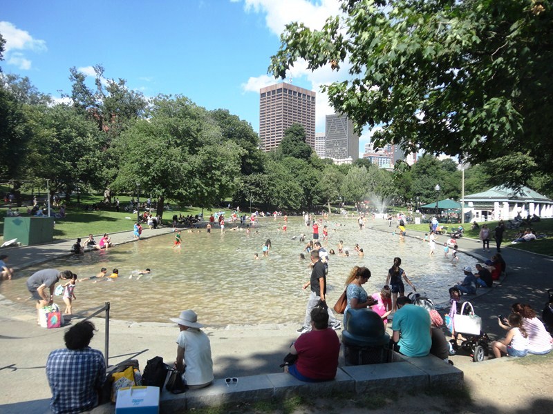
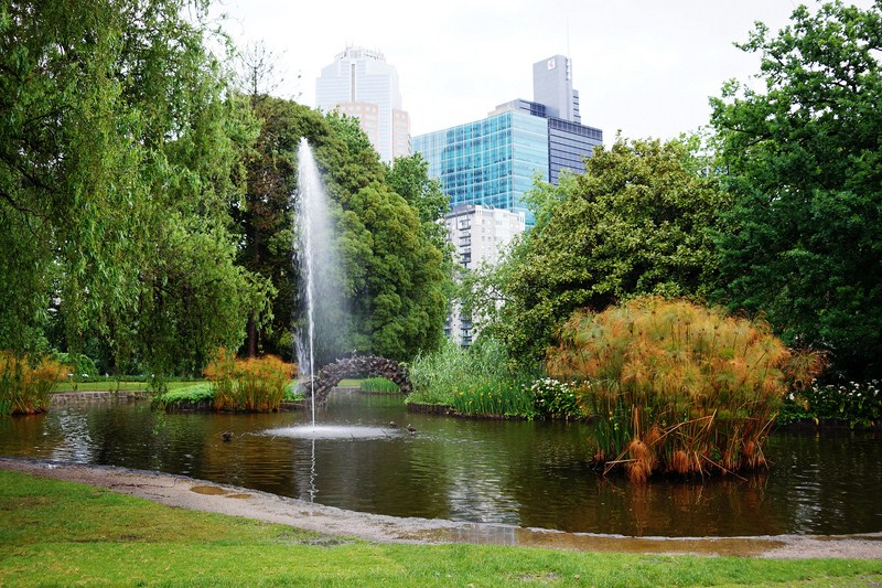
The rectangular site, gently sloping down to the southwest and northeast, contains the Royal Exhibition Building, Melbourne Museum and Imax Cinema, tennis courts, maintenance depot and curator’s cottage, and the award-winning children’s playground (designed as a Victorian maze) at the northern section and two small ornamental lakes adorning the southern section of the park.
Check out “Royal Exhibition Building” and “Melbourne Museum“
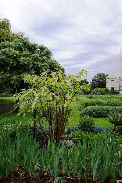
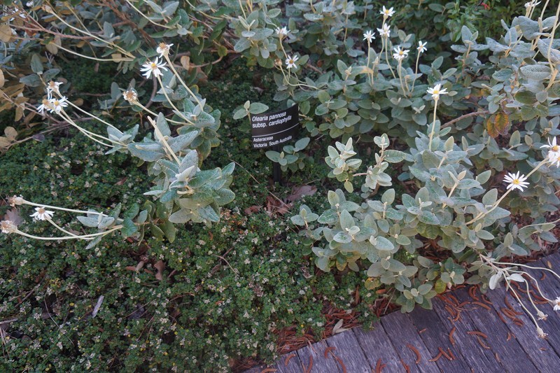
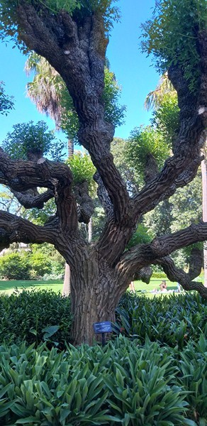
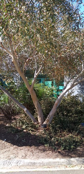
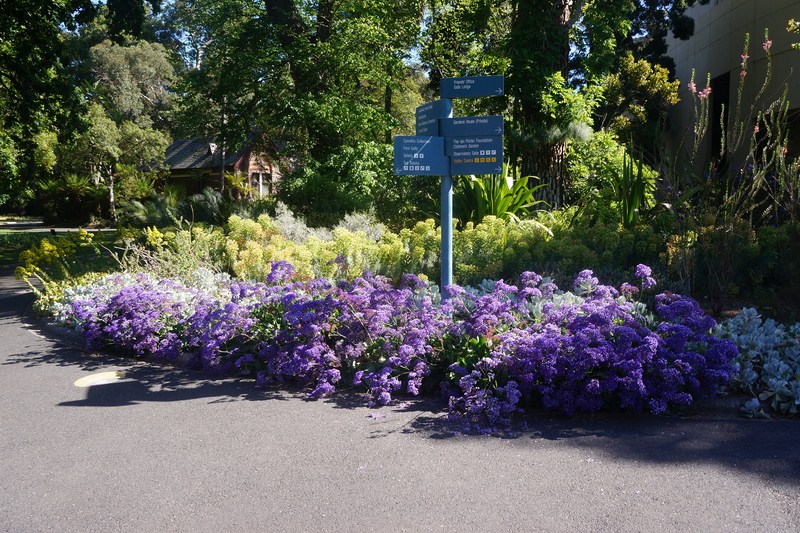
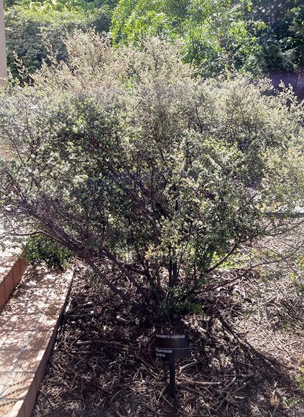
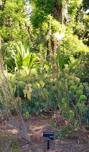
An example of Victorian landscape design, the Carlton Gardens are of scientific (botanical) significance for their outstanding collection of plants, including conifers, palms, evergreen and deciduous trees, many of which have grown to an outstanding size and form.
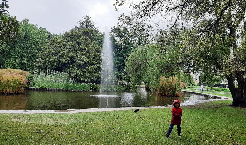
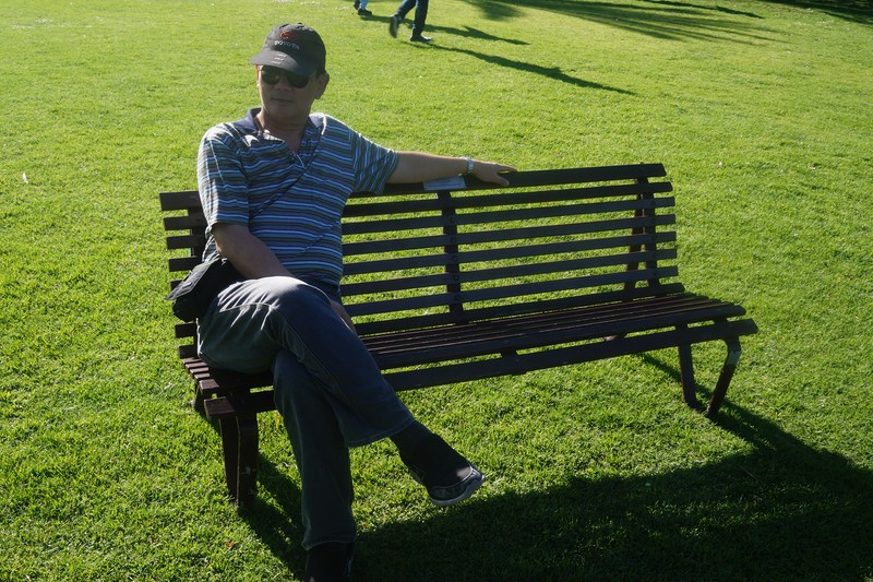
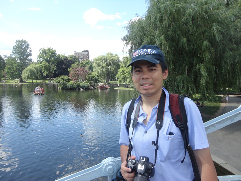
Kyle posing beside an ornamental lake
It has sweeping lawns and varied European and Australian tree plantings consisting of deciduous English oaks, White Poplar, plane trees, elms, conifers, cedars, turkey oaks, Araucarias and evergreens such as Moreton Bay figs, combined with flower beds of annuals and shrubs.
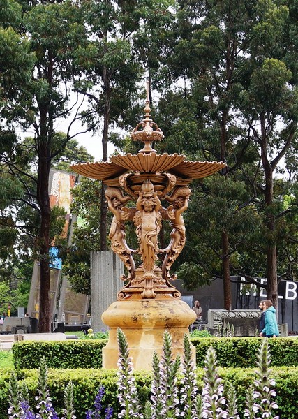
The 550 cm. high, circa 1880 bronze French Fountain, at the Nicholson Street entrance, features three youths, each supporting a dolphin, above which rests a cupped scallop shell. The fountain forms the centerpiece of a round garden bed and its waters flow into the large, concrete pool in which it sits.
According to the listing in the Victorian Heritage Register, the elm avenues of field elms (Ulmus procera) and Dutch elms (Ulmus × hollandica) are significant as there are few examples remaining, worldwide, due to Dutch elm disease.
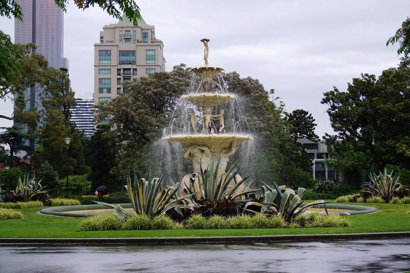
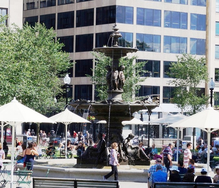
The iconic Hochgurtel Exhibition Fountain, designed by sculptor Joseph Hochgurtel for the 1880 Exhibition, is located in front of the Melbourne Exhibition Center. As described in the plaque, the fountain symbolizes “Arts, Sciences, Commerce, and Trade, and Industry.”
The garden also contains a rare specimen of Acmena ingens (a rainforest tree of eastern Australia, only five other specimens are known), an uncommon Harpephyllum caffrum and the largest recorded in Victoria, Taxodium distichum and, south west of the Royal Exhibition Building, outstanding specimens of Chamaecyparis funebris and Ficus macrophylla.
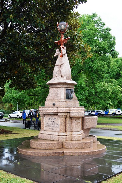
The pink granite Westgarth Drinking Fountain, manufactured by Alexander McDonald & Co., was presented to the people of Victoria by 1840s pioneer William Westgarth, when he returned to Melbourne to visit the Centennial Exhibition in 1888. This tiered drinking fountain has two cast-bronze drinking spouts, each taking the form of an emu. It has two embracing kangaroos surmounting the drinking troughs, which in turn are surmounted by a finial-like bronze and glass light.
A network of tree-lined paths, providing formal avenues for highlighting the fountains and architecture of the Exhibition building, includes the grand allee of plane trees that lead to the exhibition building.
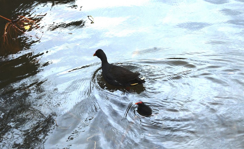
A duck and its young swimming on the lake
Wildlife found here includes brushtailed possums, ducks and ducklings in spring, tawny frogmouths, kookaburras, Indian mynas and silver gulls while, at night, Gould’s wattled bat and white-striped freetail bats hunt for insects. When native trees are flowering or fruiting, grey-headed flying foxes also visit the gardens.
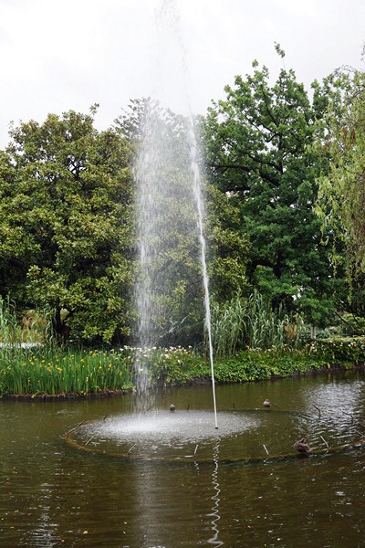
The gardens also contains three important fountains – the Exhibition Fountain; the French Fountain; and the Westgarth Drinking Fountain. The gardens, including the Exhibition Building and the fountains, are now a popular spot for wedding photography.