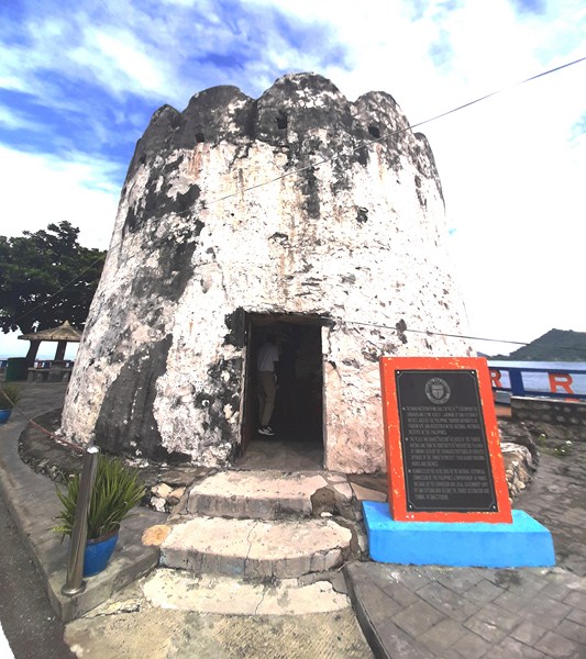
Moro Watchtower (Bateria)
Part of Santiago Cove Hotel and Restaurant-sponsored tour
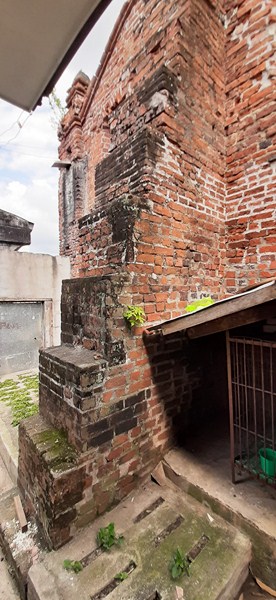
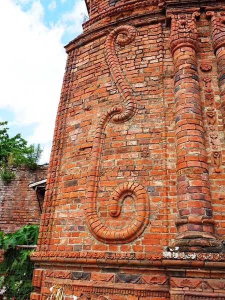
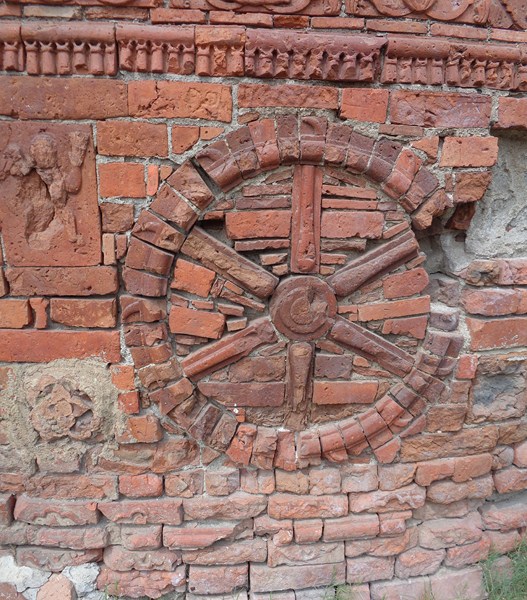
This old but very pretty, 10.4-m. high, circular Spanish-era watchtower, located on a park at the headland of the sandy cove, is one of four Spanish-era watchtowers in Ilocos Sur (the others are located in Santiago, Narvacan and Bantay). Visible from Villa Quirino Point, it is the oldest landmark of San Esteban (Ilocos Sur).
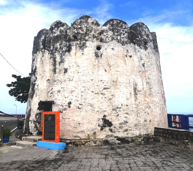
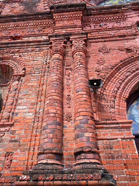
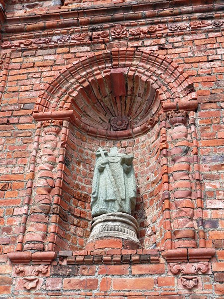
Built by Augustinian Fr. Damaso Vieytez OSA (who became the first parish priest of San Esteban in 1848), Don Agustin Santiago and Don Domingo Sumabas, it has a diameter of approximately 8.5 m. and was built with sandstone, lime and mortar.
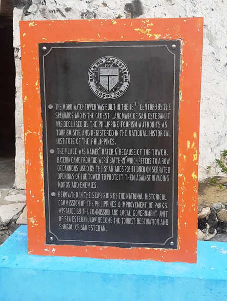
Historical marker. In my opinion, the 16th century date of construction is wrong. Should be the 19th century
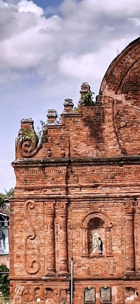
A major landmark of the town, it was also called the Moro Watchtower and is one of the most intact Spanish-era watchtowers in the country.
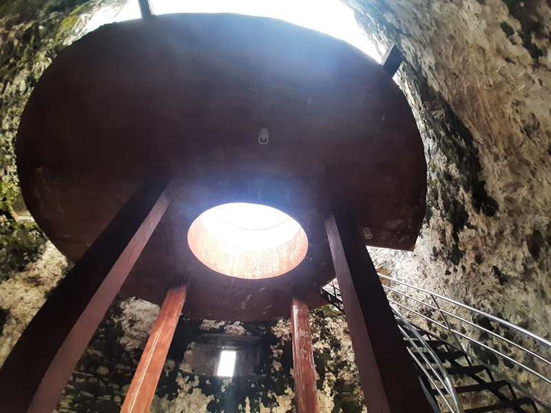
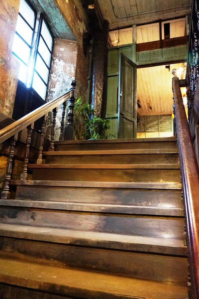
The free standing concrete platform supported by concrete columns. In the middle is a skylight to illuminate the lower level. The platform is accessed by s steel stairway.
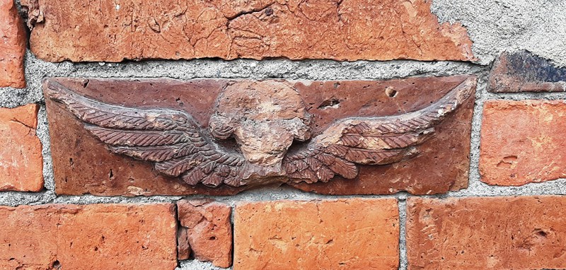
Accessed by a steel stairway, it has one entrance and a crenellated top where a row of cannons were once installed (hence the name bacteria, the Spanish word for “battery”). Today, only tower viewer binoculars are installed.
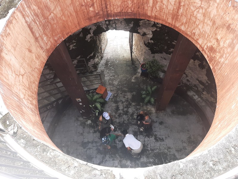
View of the lower level from the skylight
The Philippine Tourism Authority ((now the Tourism Infrastructure and Enterprise Zone Authority or TIEZA) has declared it as a Tourism Site and it has been registered in the National Historical Institute (NHI), now the National Historical Commission of the Philippines (NHCP). In December 2015 , the National Museum of the Philippines declared it as a National Cultural Treasure (Category I).
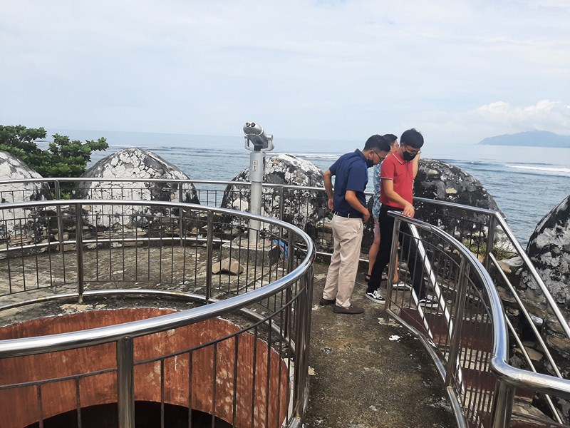
The concrete platform with stainless steel railings
In 2016, it was renovated by the National Historical Commission of the Philippines (NHCP) who, together with the local government, also made improvements of the park including the addition of concrete picnic tables. The banyan tree which once grew around the tower is now gone.
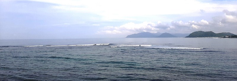
View of the sea from the watchtower
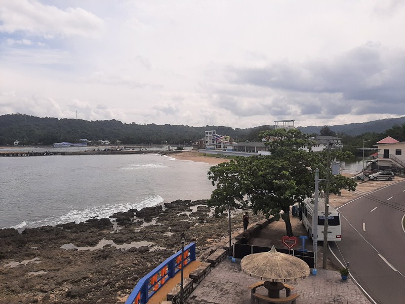
View of the shoreline and the park
Bateria: Brgy. Bateria, San Esteban, 2706 Ilocos Sur. Admission is free.
Santiago Cove Hotel and Restaurant: Sabangan Beach, Brgy. Sabangan, Santiago 2707, Ilocos Sur. Mobile number: (0917) 115-4495 (Globe), (0917) 654-2078 (Globe), (0968) 851-5446 (Smart) and (0955) 773-9793 (Rodrigo’s). E-mail: hsantiagocovehotel@gmail.com.