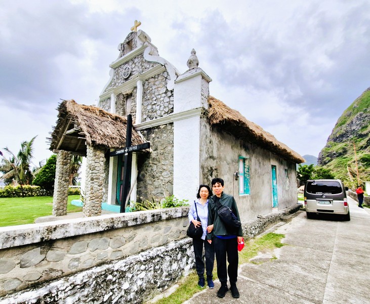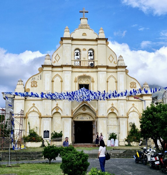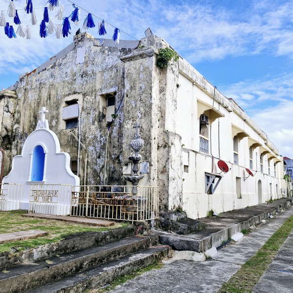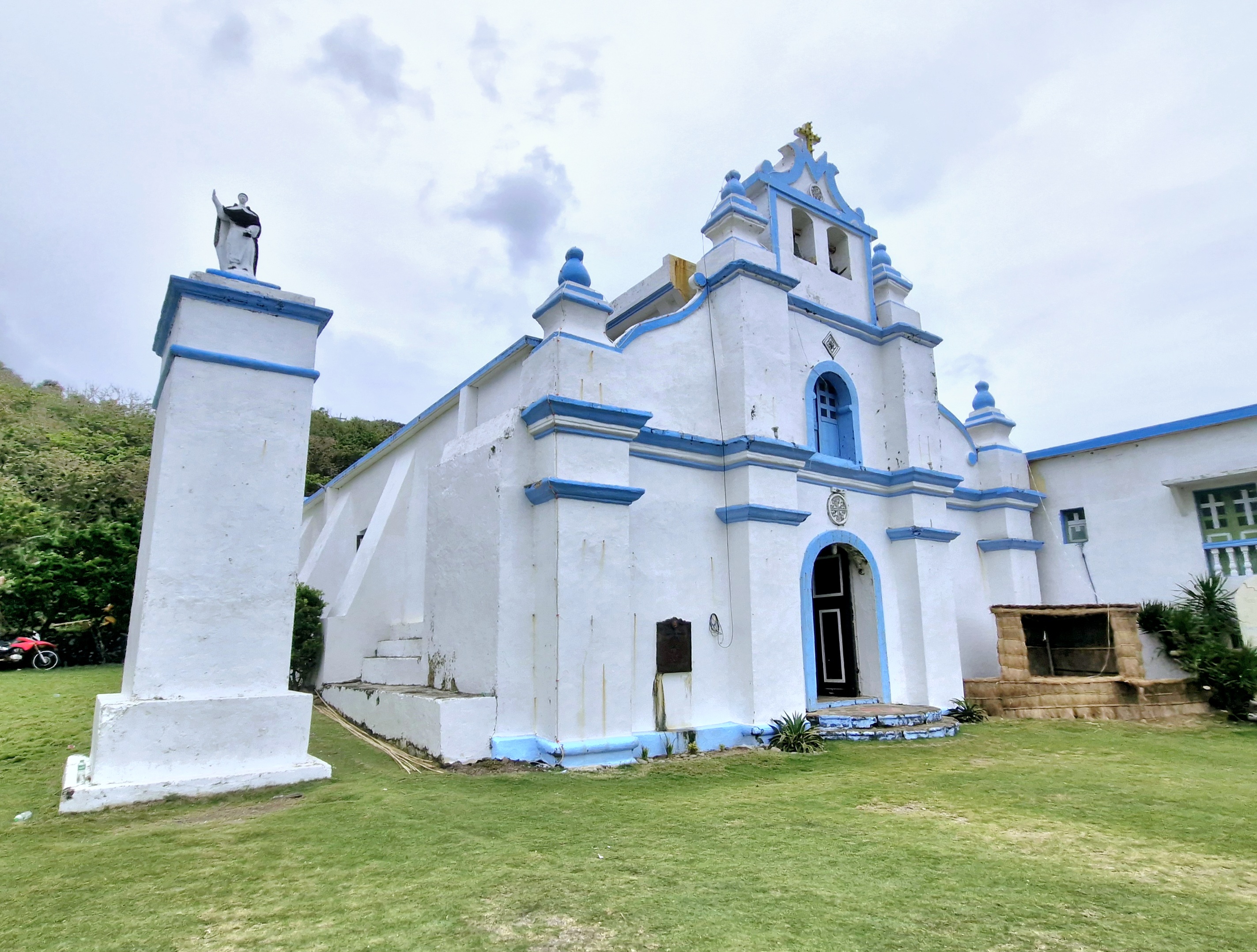
Church of St. Vincent Ferrer
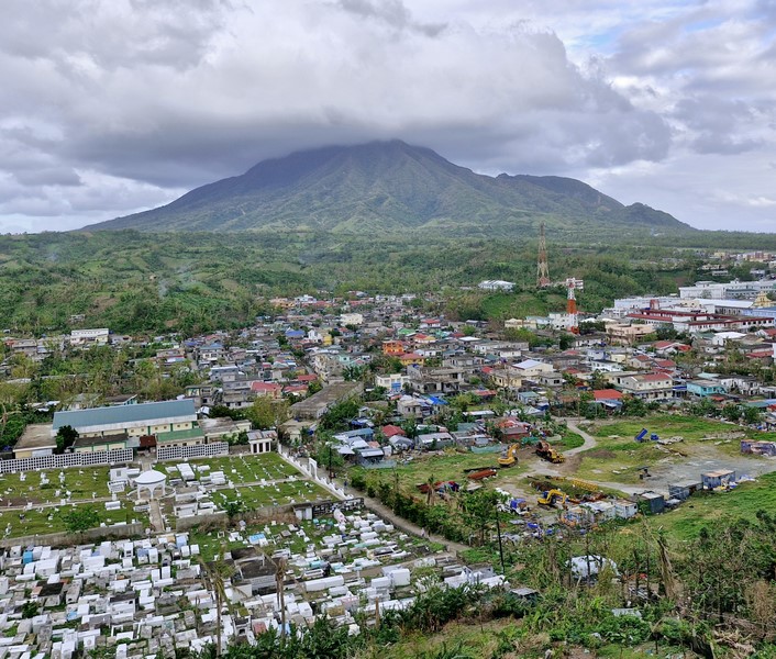
After our tour of Chavayan Village, we again boarded our van for 8.5-km. (20-min.) drive back to the población to visit the Spanish-era Church of St. Vincent Ferrer. This church started as a small chapel in 1785. In 1844, it was rebuilt in lime and stone by Dominican Fr. Antonio Vicente, OP.
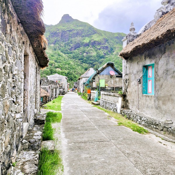
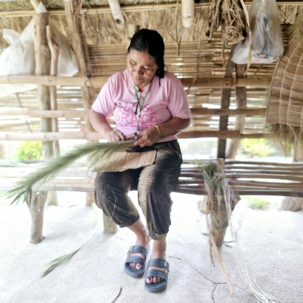
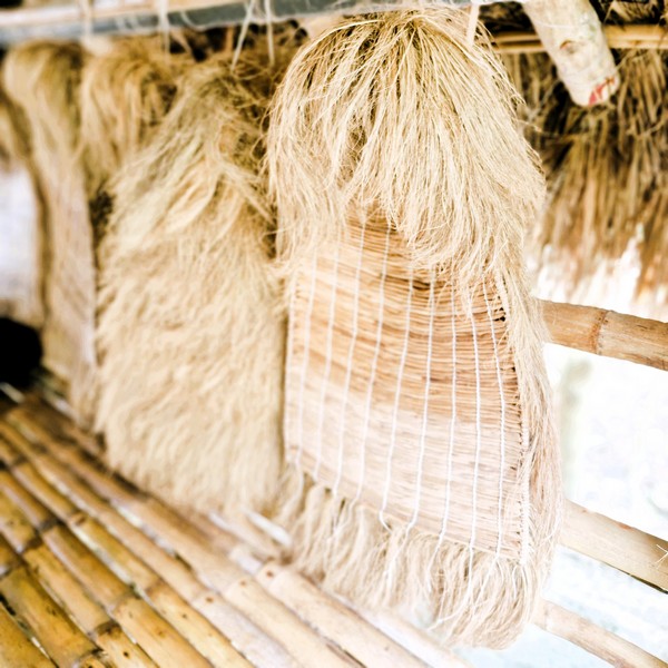
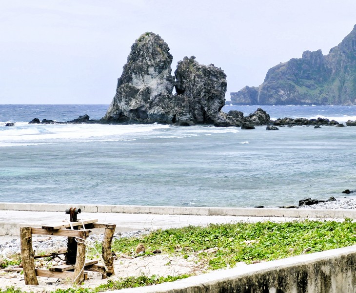
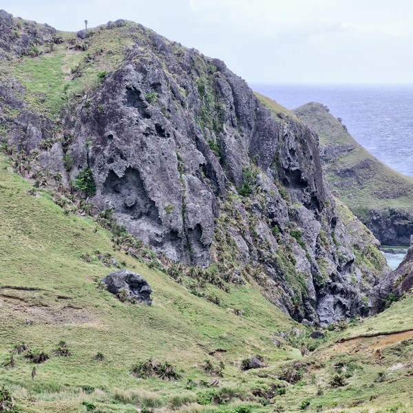
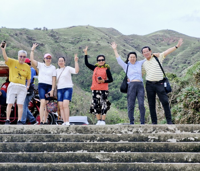
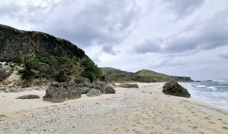
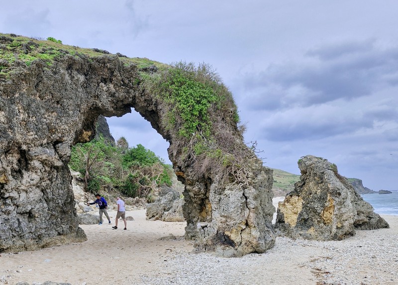
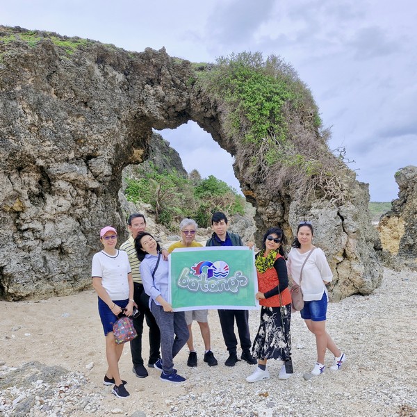
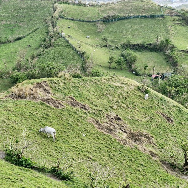
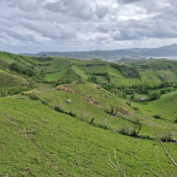
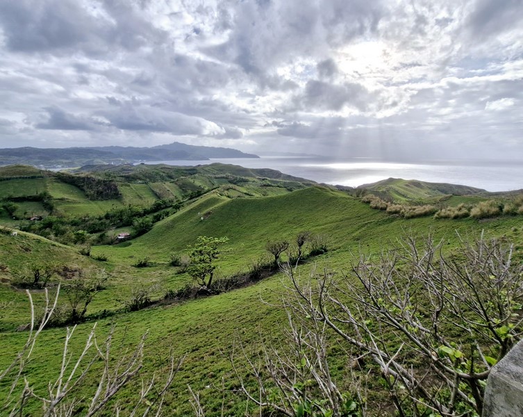
Check out “Chavayan Village”
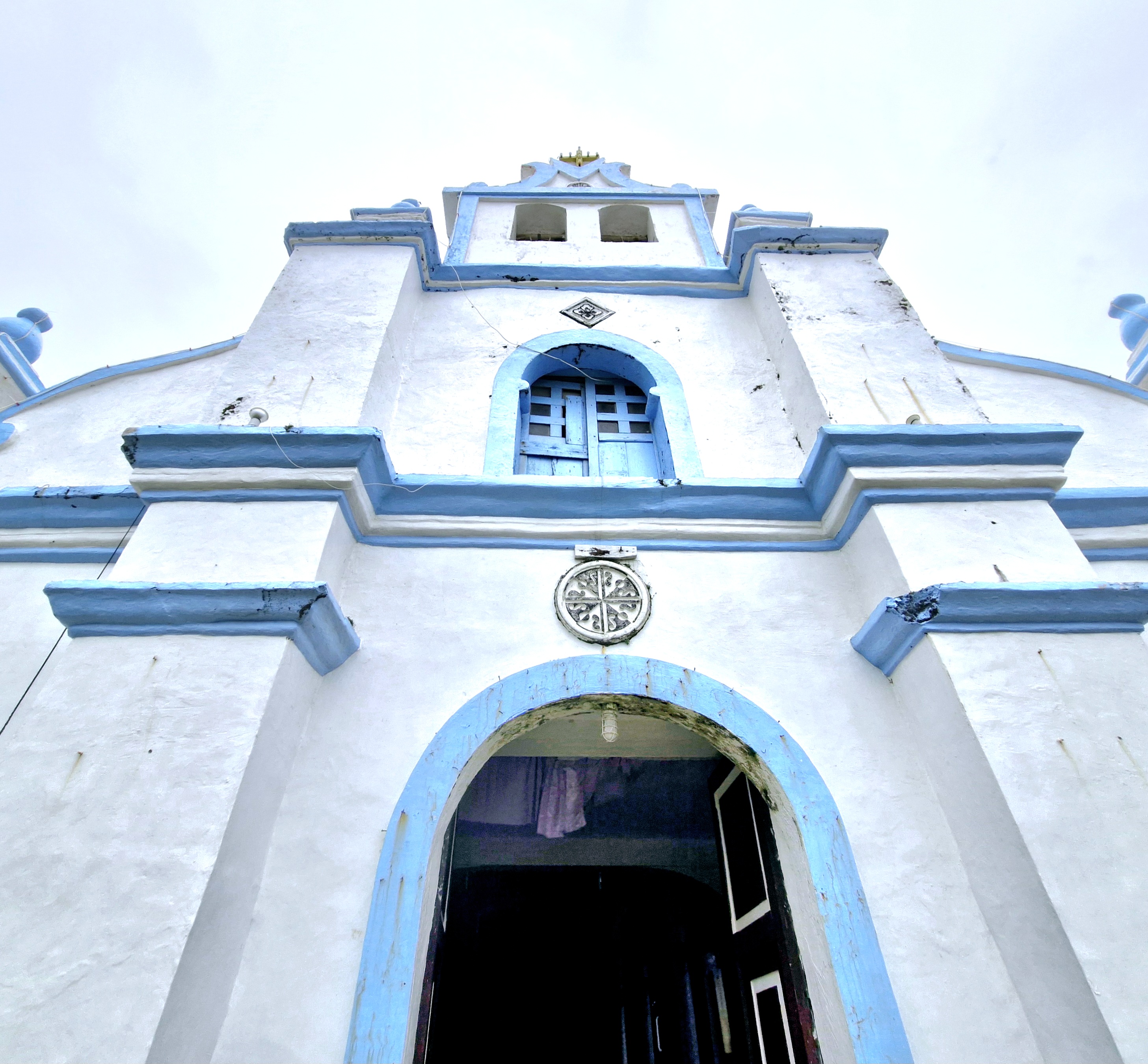
The church’s Baroque façade
In October 1956, after damage by a typhoon, Fr. Gumersindo Hernandez, OP, repaired the campanille and, from 1983 to 1984, Fr. Rafael Carpintero, OP, repaired the interior and replaced the cogon roofing with galvanized iron.
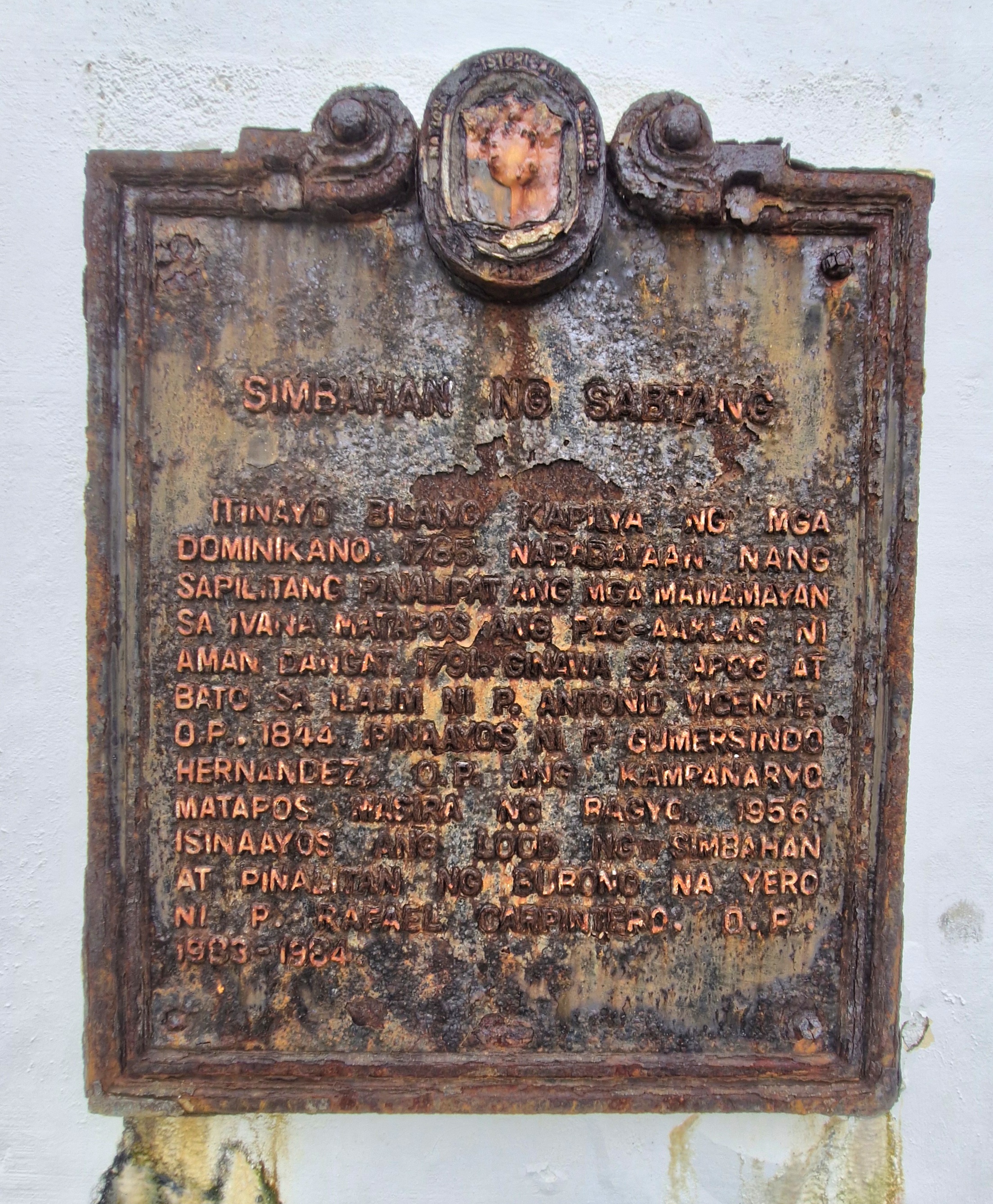
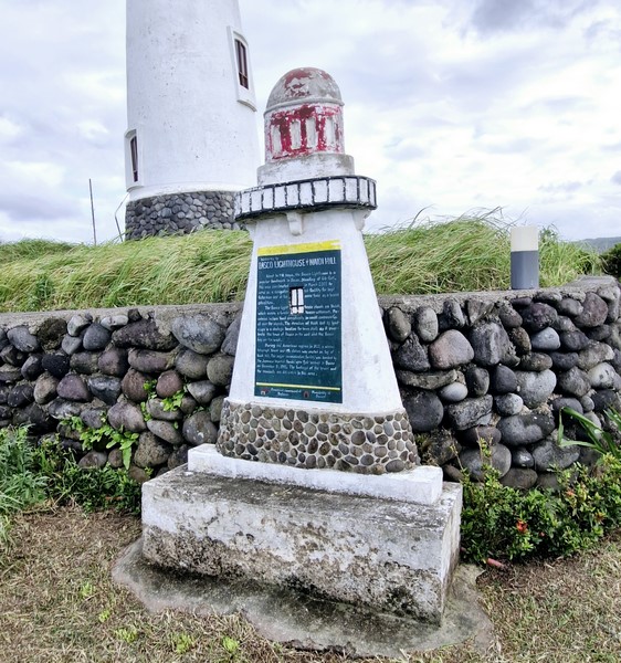
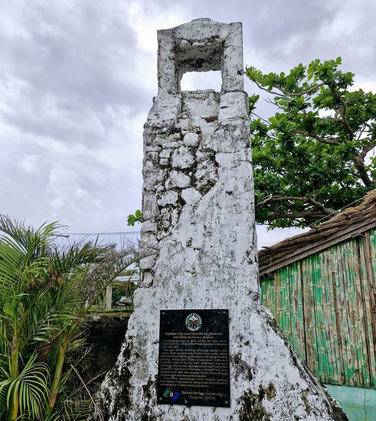
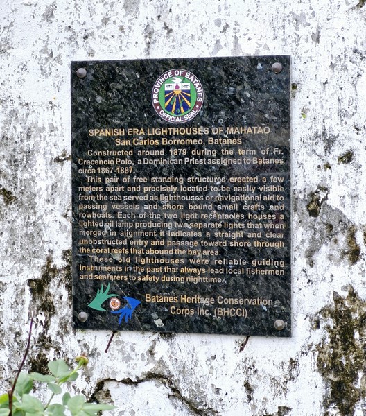
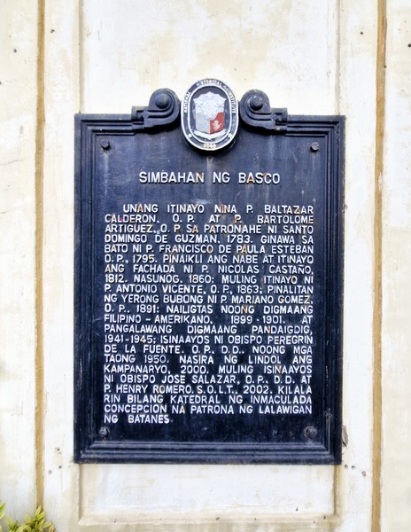
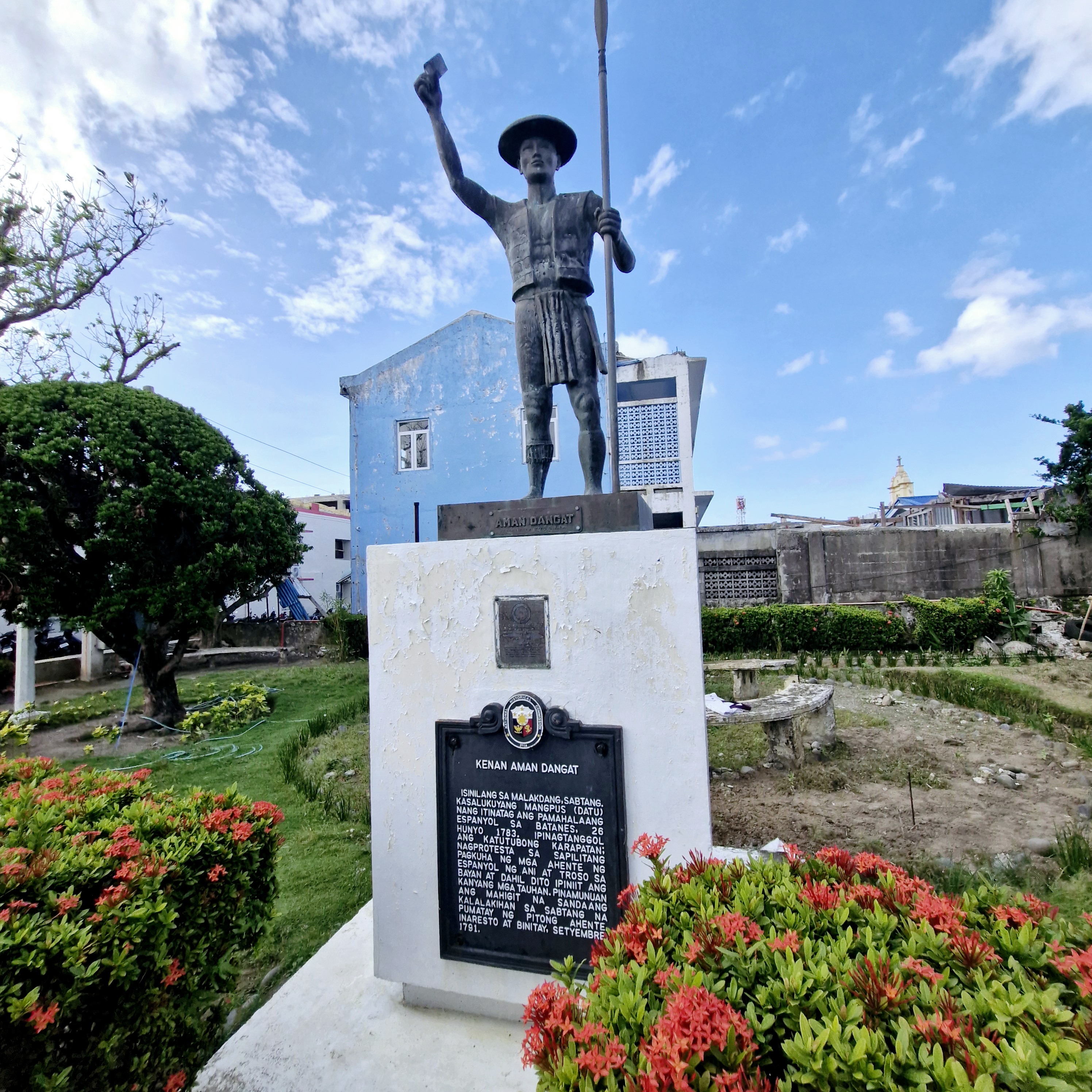
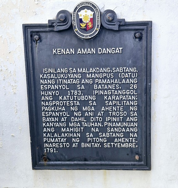
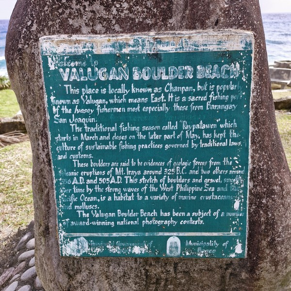
Historical plaque
In 2008, the church, convent and beaterio complex were declared as a National Historical Landmark by the National Historical Commission of the Philippines.
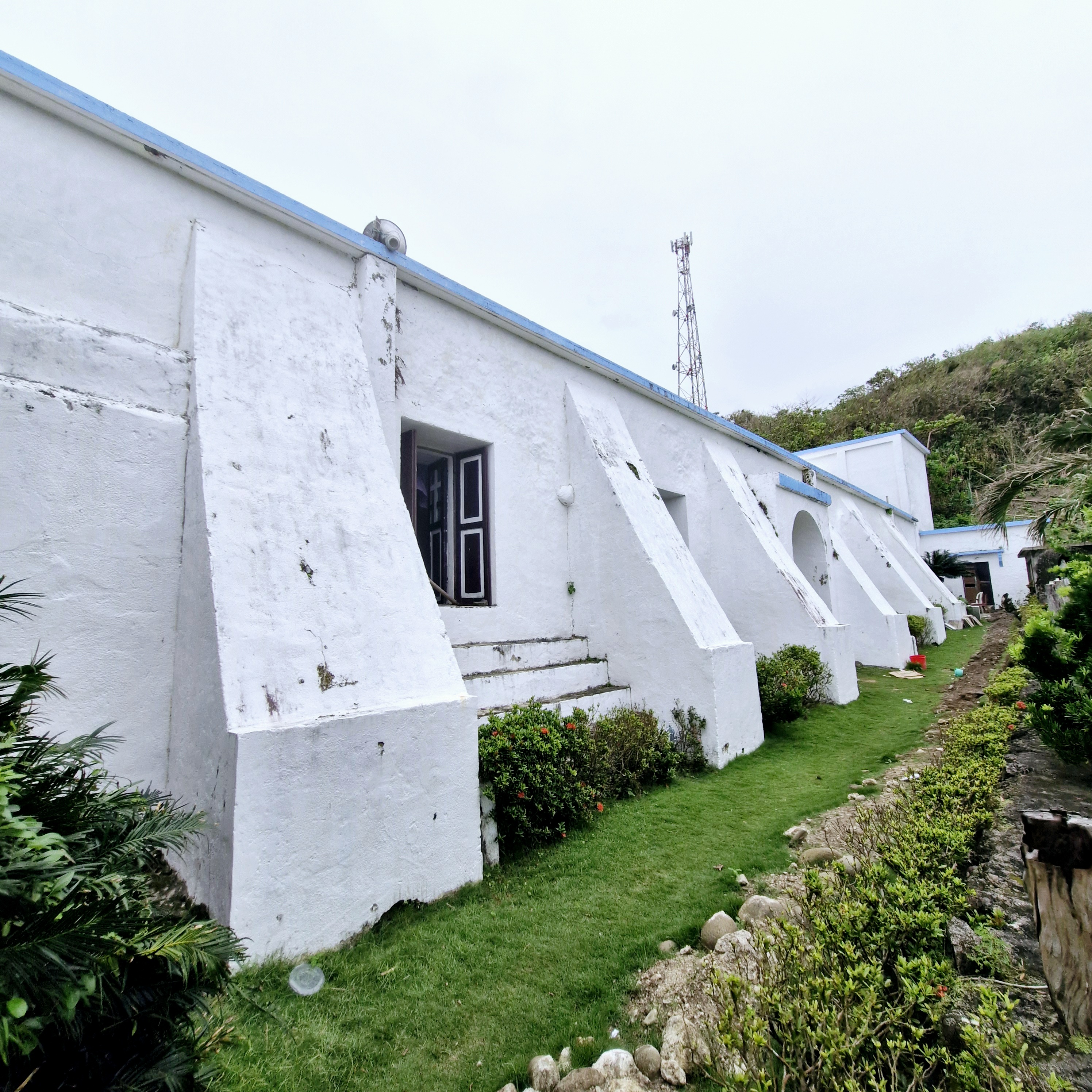
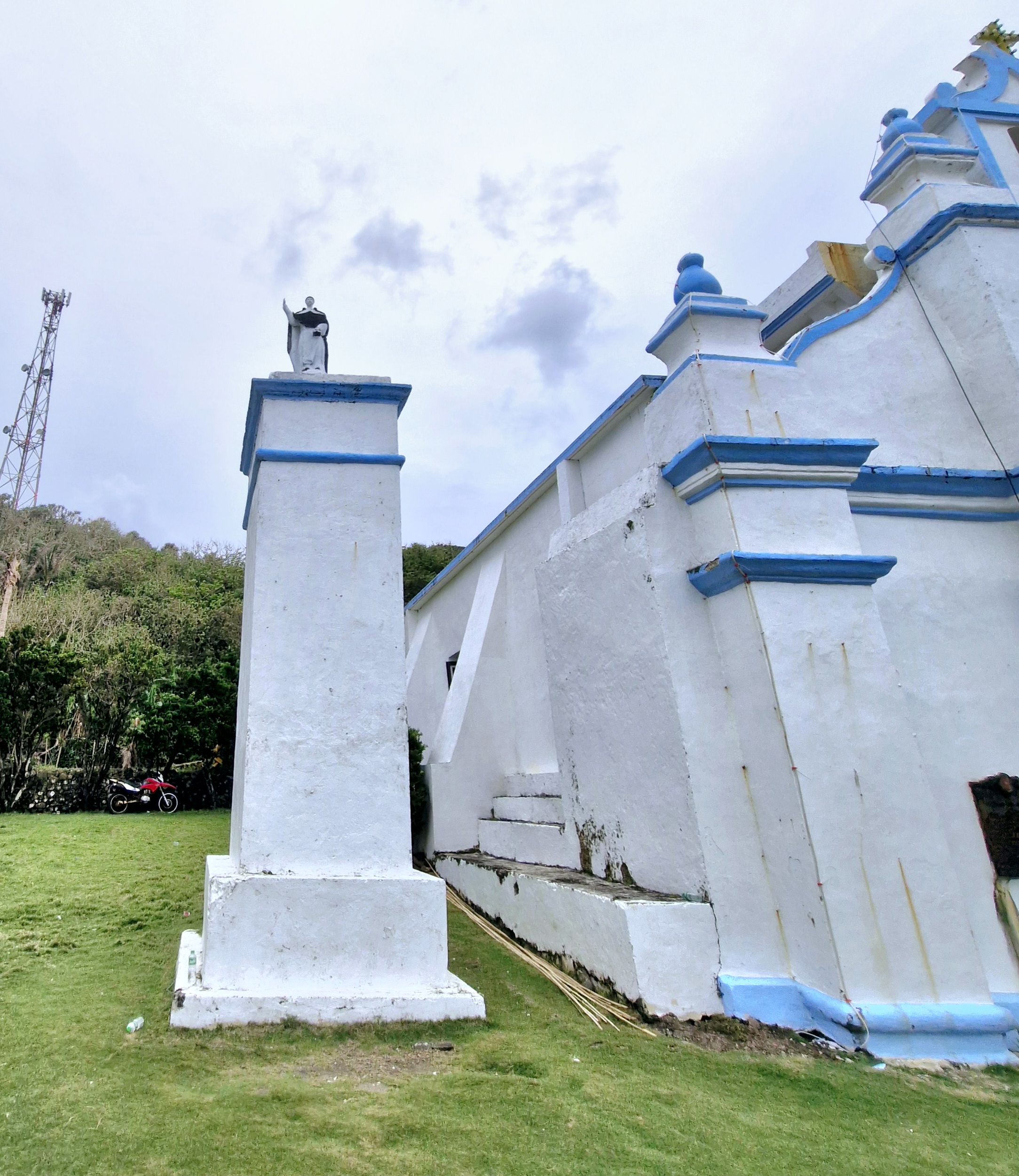
The massive buttresses at the sides
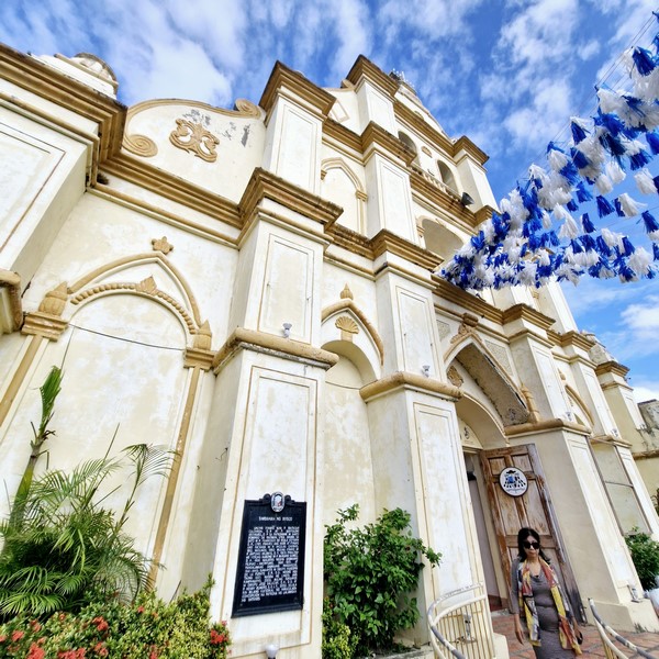
Like the Basco Cathedral and the Church of St. Charles Borromeo in Mahatao, this church has an espadaña-style facade, with two round arches for its two bells on the upper portion of the Baroque façade.
Check out “Cathedral of the Immaculate Conception” and “Church of St. Charles Borromeo”
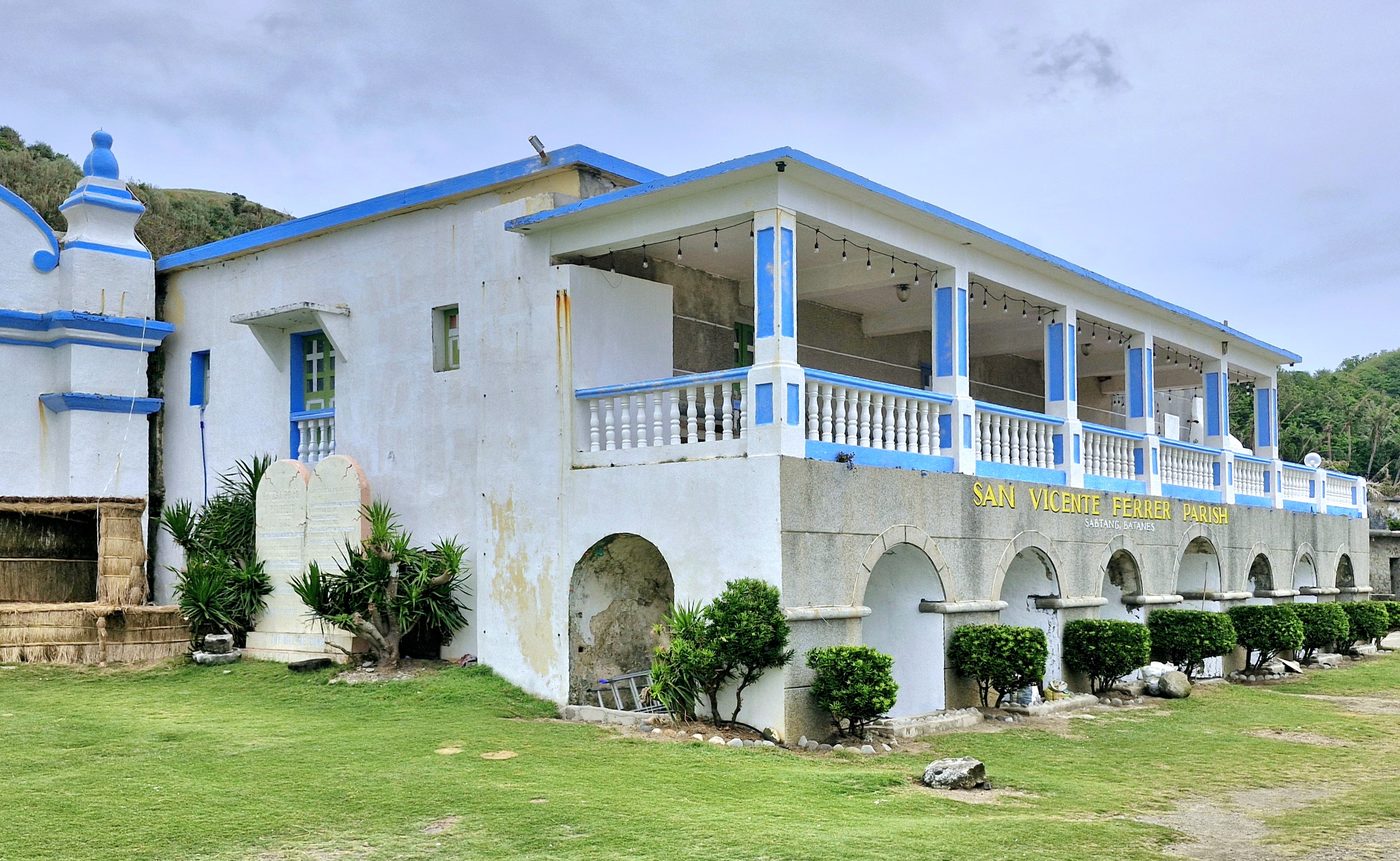
The church convent
Four massive and broad pilasters, topped by heavy set, urn-like finials, flank the semicircular arched main entrance, at the first level, and the semicircular arched window at the second level.
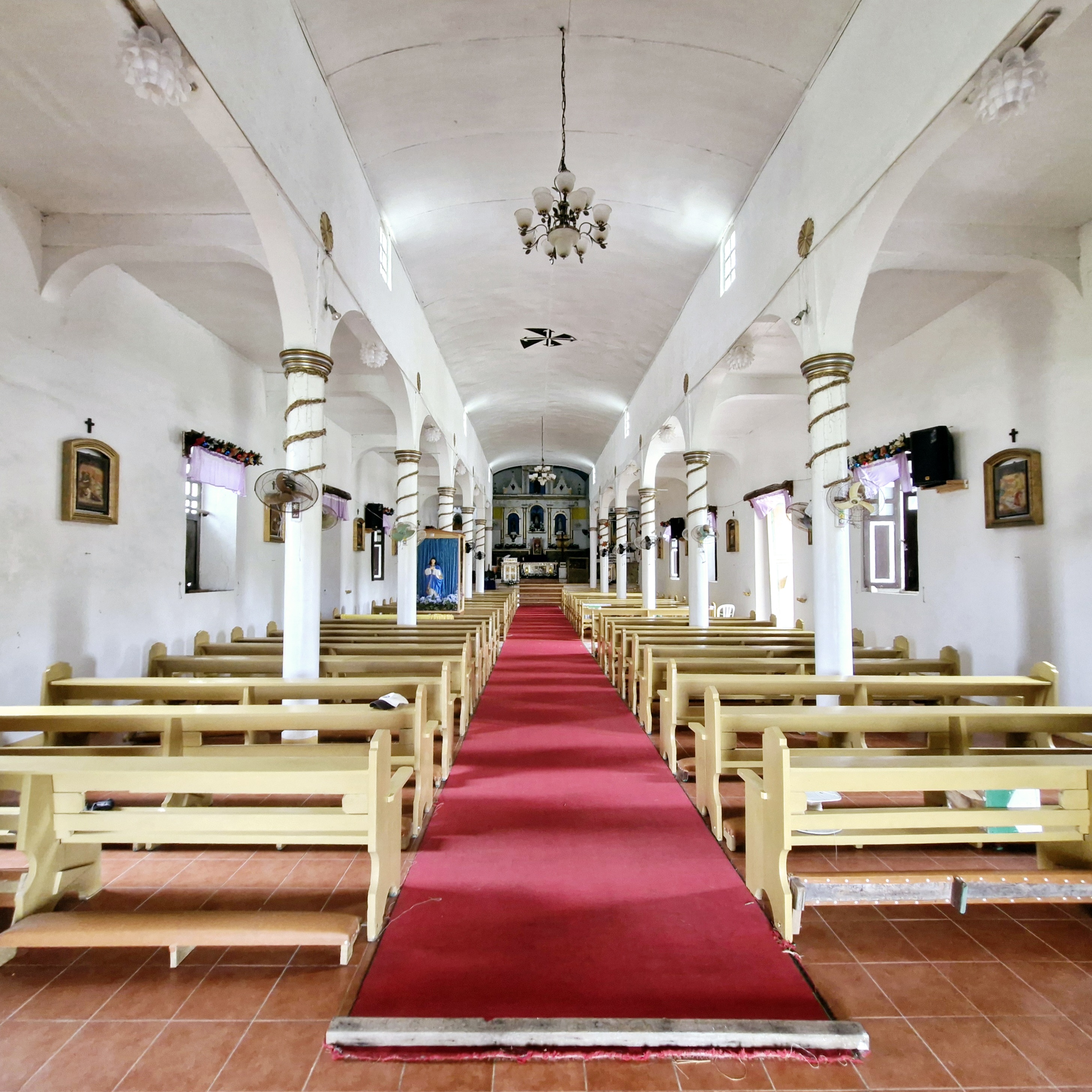
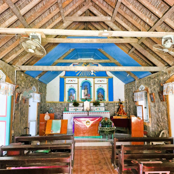
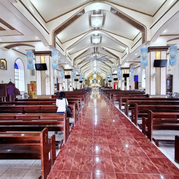
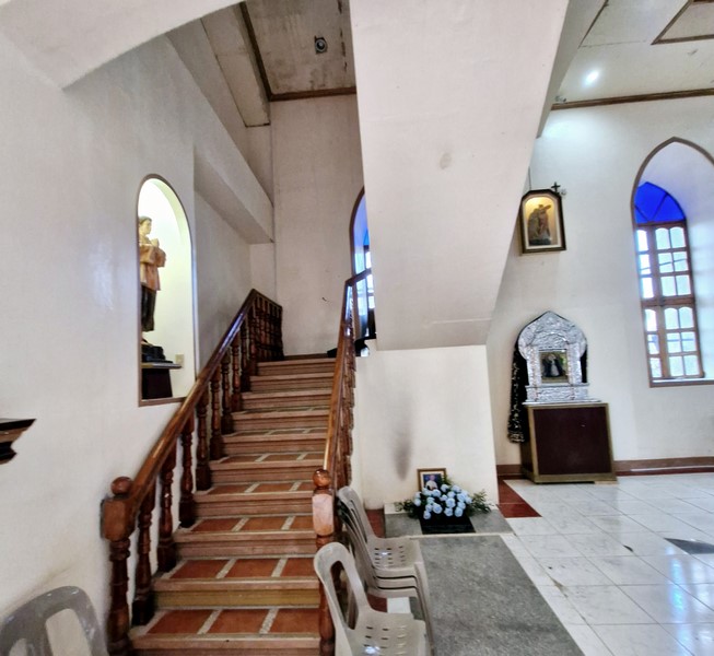
The church’s interior
The thick walls enclosing the nave, made with stone and lime, are supported by buttresses while, at the back, four round pillars support the choir loft (below which is the baptistery). A pedestal, with a stone statue of St. Vincent Ferrer, stands a short distance to the right of the church.
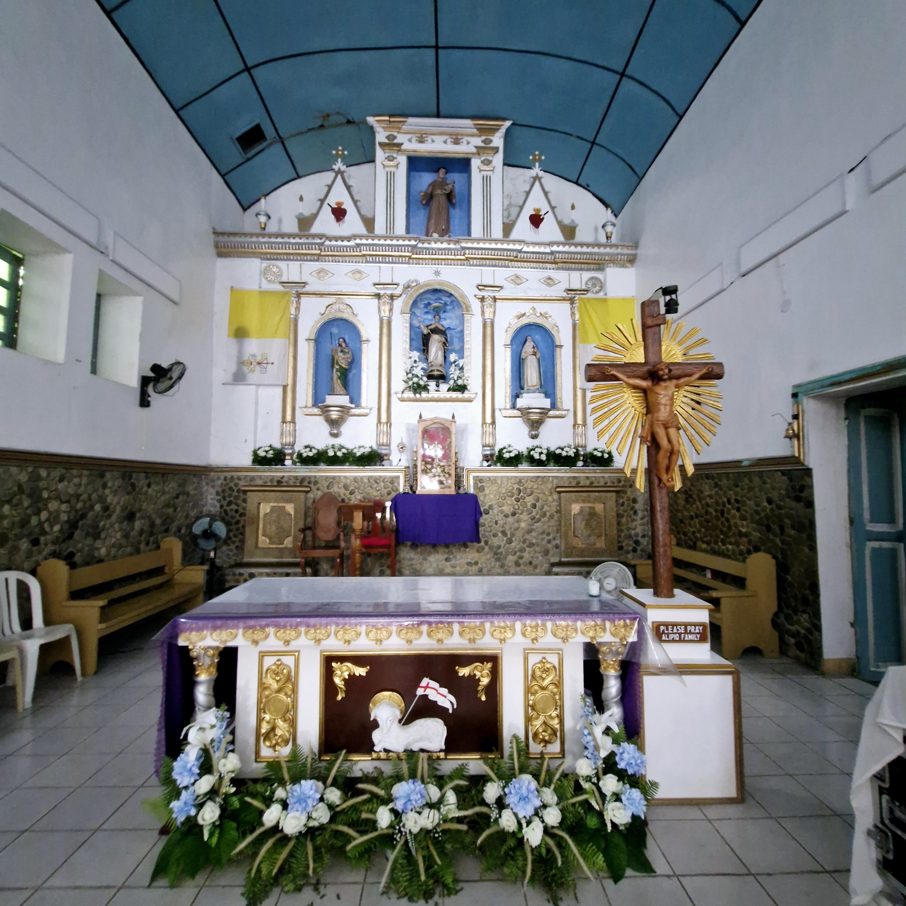
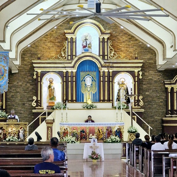
The main altar
Inside the church is the original Baroque retablo, with niches for statues of saints, above the high altar. Made with polychrome and gilded woodwork, it was restored by Fr. Carpintero during the 1983 to 1984 renovation.
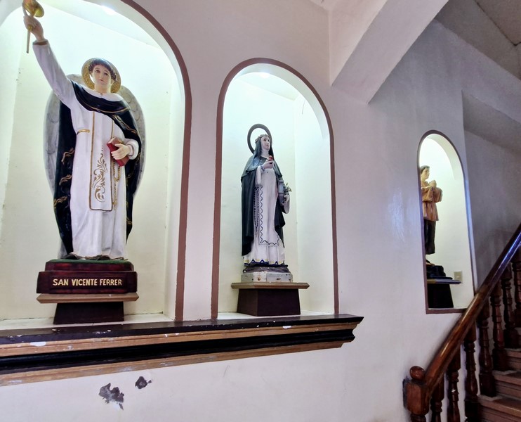
Stone statue, of St. Vincent Ferrer, on a pedestal
Church of St. Vincent Ferrer: Brgy. Malakdang (Poblacion) Sabtang, 3904 Batanes. Mobile number: (0929) 110-2401. Feast of St. Vincent Ferrer: April 27.
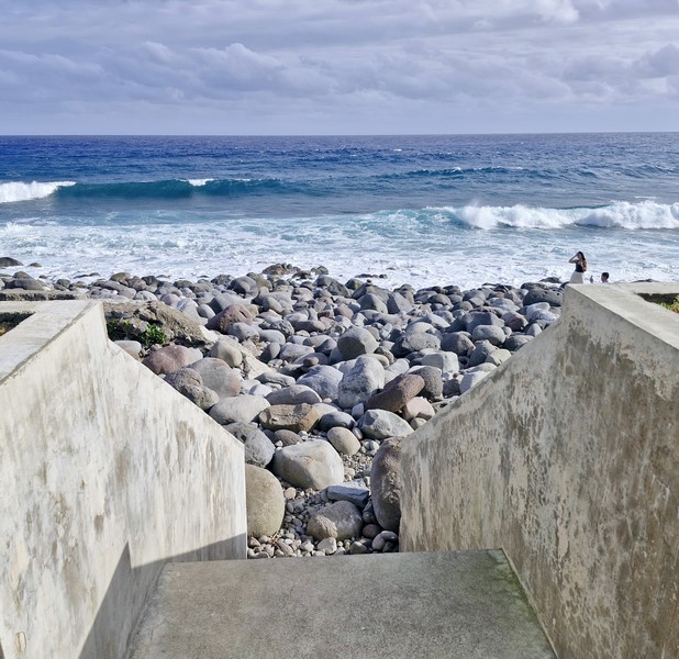
How to Get There: There are scheduled 30 to 45-minute early morning boat trips by falowa (round-bottomed boat) from Ivana’s Radiwan Port to Sabtang. The church is located close to the port.
Sabtang Tourist Information Center: Brgy. Sinakan, 3904 Sabtang. Mobile number: (0929) 226-8055. E-mail: tourismsabtang@gmail.com.
Provincial Heritage and Tourism Office (PHTO): Mobile number: (0929) 230-5934. Website: www.breathtakingbatanes.com.