
After my coordination meeting at the New Day Publisher’s office (where we discussed my forthcoming book “A Tourist Guide to Notable Philippine Churches”), I proceeded to the University of the Philippines in Diliman, my college alma mater, where I had lunch at the U.P. Coop. After lunch, I walked over to the flying saucer-shaped Church of the Holy Sacrifice to take pictures for inclusion as one of the churches featured in my book as well as in the “About the Author” section.
 |
| The Church of the Holy Sacrifice |
This exemplary example of modern religious architecture is the first round chapel in the country with an altar in the middle, as well as the first to have a thin shell concrete dome. My late uncle and National Artist (1990) Leandro V. Locsin, then a young 1953 architecture graduate of the University of Sto. Tomas, was commissioned by U.P. Jesuit chaplain Fr. John Delaney S.J. to designed the chapel. Four other National Artists also contributed their artistic talents: sculptor Napoleon Abueva (1976), painter/sculptor Arturo Luz(1997), Ang Kiukok (2001) and the late painter Vicente Manansala (1981). Locsin experimented with new forms by using a thin concrete shell for its roof. Its structural design was done by the late Engr. Alfredo L. Juinio, the first Dean of the U.P. College of Architecture.
 |
| The cross done by Napoleon Abueva |
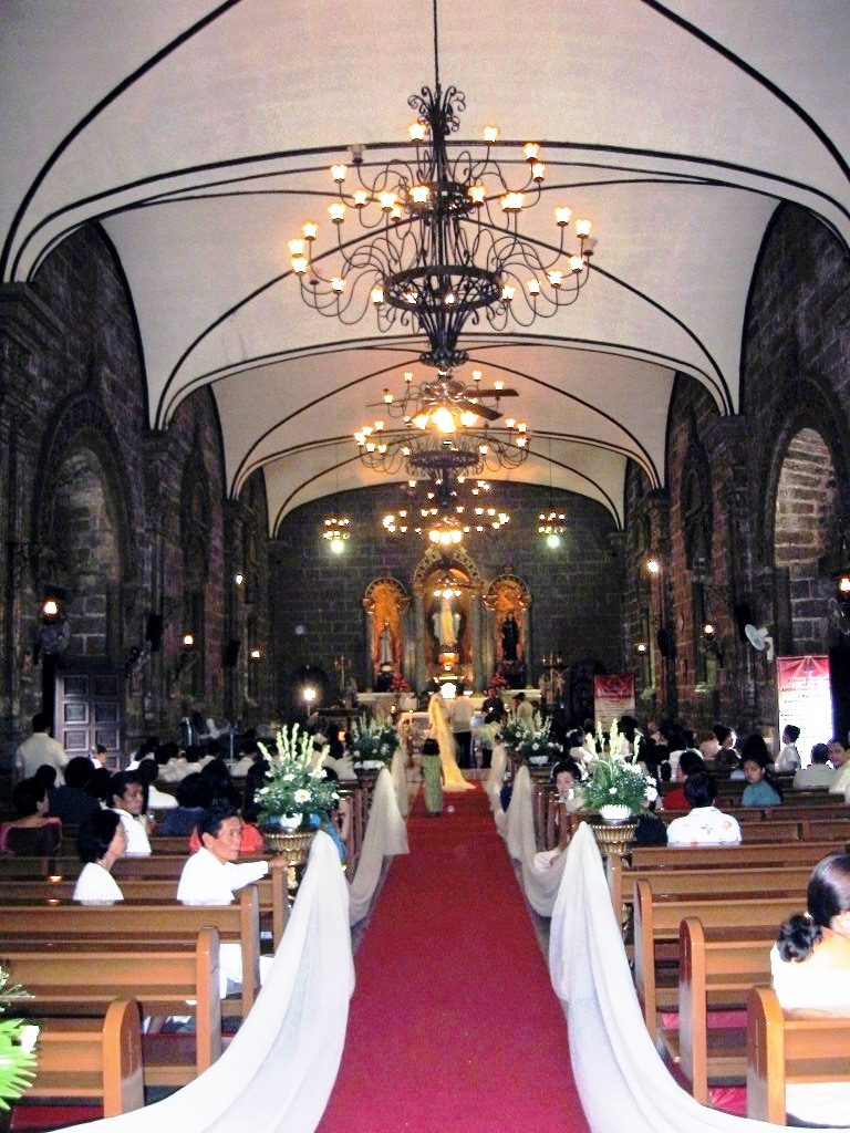
The pillars were located at the sides of the church so that there are no supports to block the space inside. The dome’s unique design allows for natural lighting and ventilation. At the center of the dome is a circular skylight which, in turn, supports a triangular bell tower. The bell tower extends to the interior, supporting the crucifix. The chapel’s cornerstone was laid on March 19, 1955 (St. Joseph’s Day), actual work started on May 2 and its dome was poured on August 14. On December 20, 1955, the first mass was celebrated here. Since its completion, this church, which can easily accommodate 1,000 people, has come to symbolize oneness with the community and the environment, an open church for an open university. I used to hear mass here after Saturday R.O.T.C. training. The chapel is open day or night.
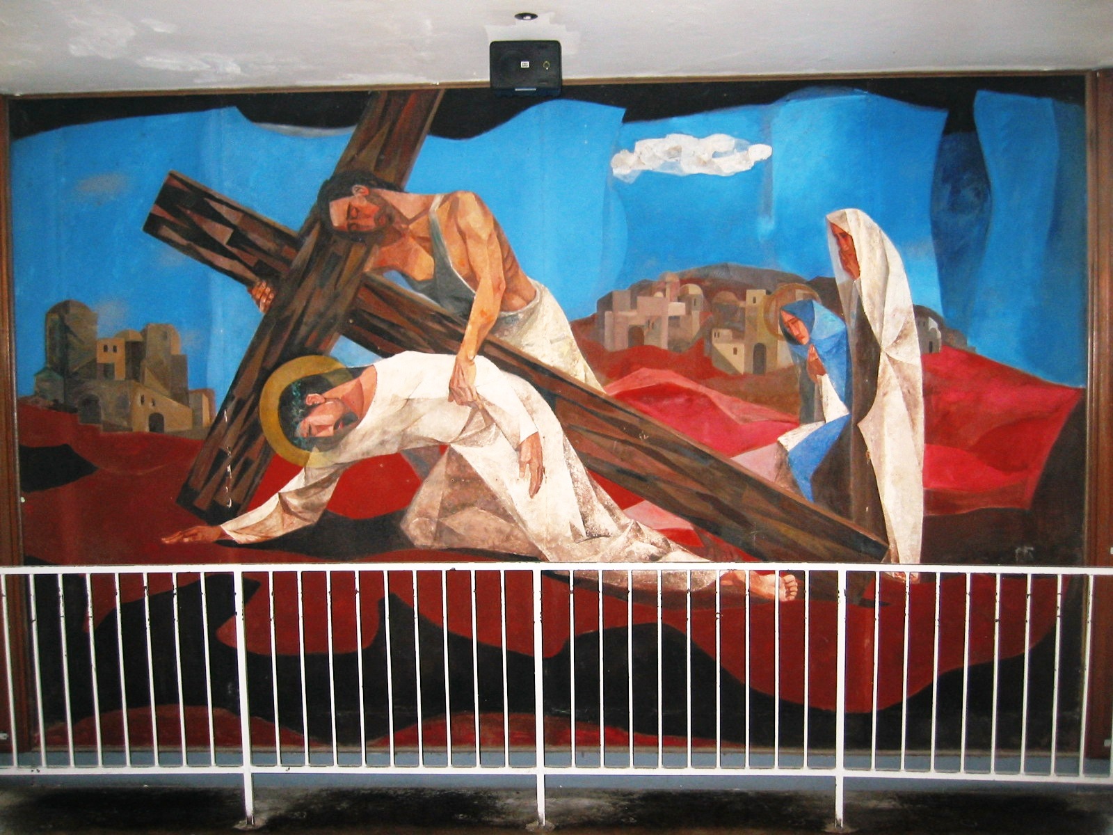 |
| One panel of Vicente Manasala’s Stations of the Cross |
The huge, commanding double-sided crucifix hanging from the ceiling above the altar, the first of its kind in the country, was done by Abueva. It features the two figures of Christ Crucified and Christ Resurrected. Birds sometimes perch or fly around it. He also did the marble altar. The elevated altar floor of black, white and gray marble chips, running down to the sacristy and to three other equidistant entrances, was done by Luz. It features the four “Rivers of Life” radiating outward, wider at the base and narrowing outward again. Above the entrances and around the interior of the chapel are 15 panels representing the 14 Stations of the Cross plus a fifteenth, “The Resurrection,” all done by Manansala with the assistance of Ang Kiukok. The centrally located altar has a communion rail encircling it. The curved pews, also designed by Locsin, are 9 pews away from the altar and, as a result, no communicant is to far away from the officiating priest.
On January 12, 2005, the church was recognized as a National Historical Landmark and a Cultural Treasure by the National Historical Institute and the National Museum, respectively.


.JPG)


.jpg)


.JPG)


