
Early in the morning, Charlie and I checked out of our rooms at Leyte Park Hotel and departed Tacloban City for Calabayog City to continue our GPS mapping for EZ Maps. As always, the 9.5-km. long road from Tacloban all the way to the foot of San Juanico Bridge was excellent. Past the bridge, we were now on Samar Island and the road here, though concreted, was intermittently pockmarked with potholes, preventing us from really speeding up, especially at the curves.
 |
| Aerial view of the town from the municipal hall |
After a 4-hr./97-km. drive, with Charlie on the wheel of the Ford Explorer, we made it to the provincial capital of Catbalogan by 9:30 AM. It was already drizzling when we arrived. At the municipal hall, we visited the Town Planning Division and had a late breakfast at Orange Julius.
 |
| The town plaza |
 |
| The Provincial Capitol Building |
Leaving Catbalogan, we next continued on our way to Calbayog City, again experiencing the same road conditions as before. However, it was a shorter 60-km. drive. It was already raining heavily when we arrived at Calbayog City. Here, we visited the City Planning and Tourism Office and had a late lunch at Bread n Mix. We did GPS mapping of the city before checking in our tired bodies at airconditioned rooms with bath at Eduardo’s Tourist Inn.
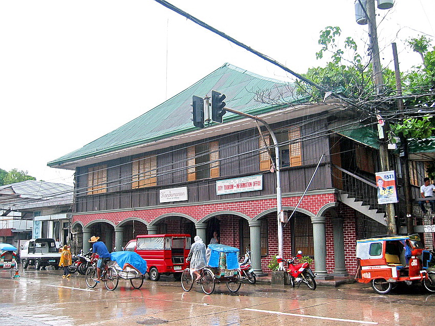 |
| Handumanan Building |
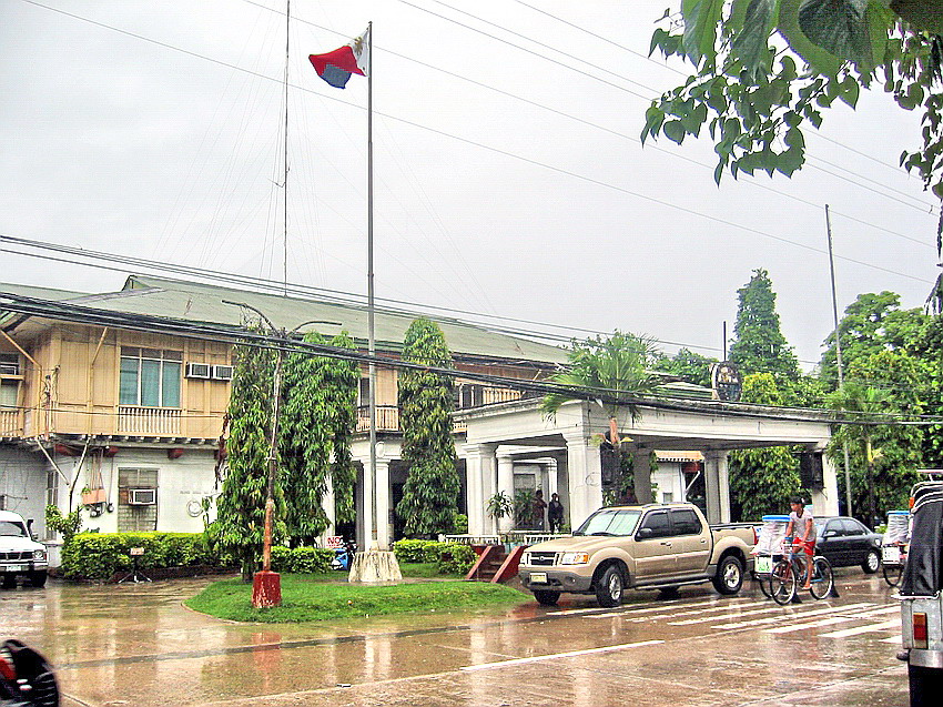 |
| Calbayog City Hall |