|
| Songsong Ruins |
 |
| Old LORAN Station |
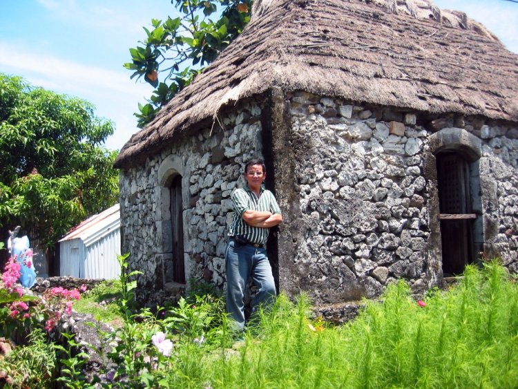
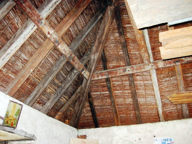
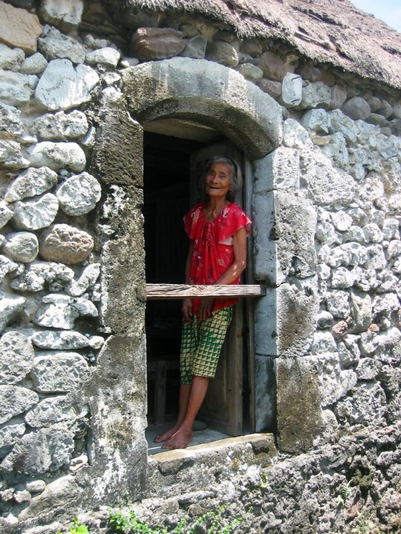
Entering Uyugan, we passed by the old LORAN (Long Range Aid to Navigation) Station, in Alapad Point in Brgy. Imnajbu and the ruins of Songsong, a cluster of roofless old stone houses of a once thriving community of fishermen that was abandoned in 1955 after the inhabitants experienced severe famine as a consequence of the strong typhoons and tsunami in 1953 and 1954. The villagers resettled to Maramag, Bukidnon. Some of the ruins are now being restored while others are already inhabited.
 |
| Entry to Dipnaysujuan Tunnels |
Along the Vajangshin Road, we passed by one of the 5 openings of the the Dipnaysujuan Tunnels, an abandoned Japanese-built World War II network of 8-ft. high and 6-ft. wide bat-filled tunnels. Too bad, we didn’t have kerosene lamps or flashlights to explore the dark tunnels. Finally, on the way back to Basco, we also passed by an idjang (one of 17 throughout the province), a rocky castle-like natural fortress where pre-Hispanic Ivatans lived.
 |
| Basco idjang |