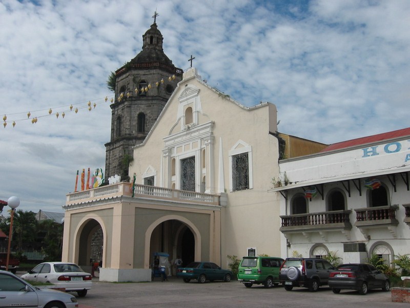
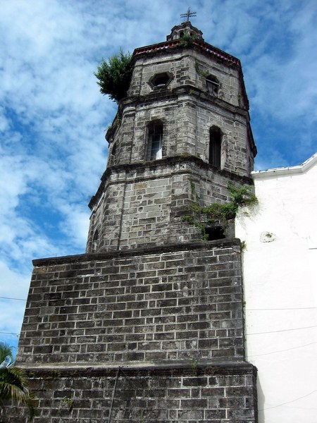
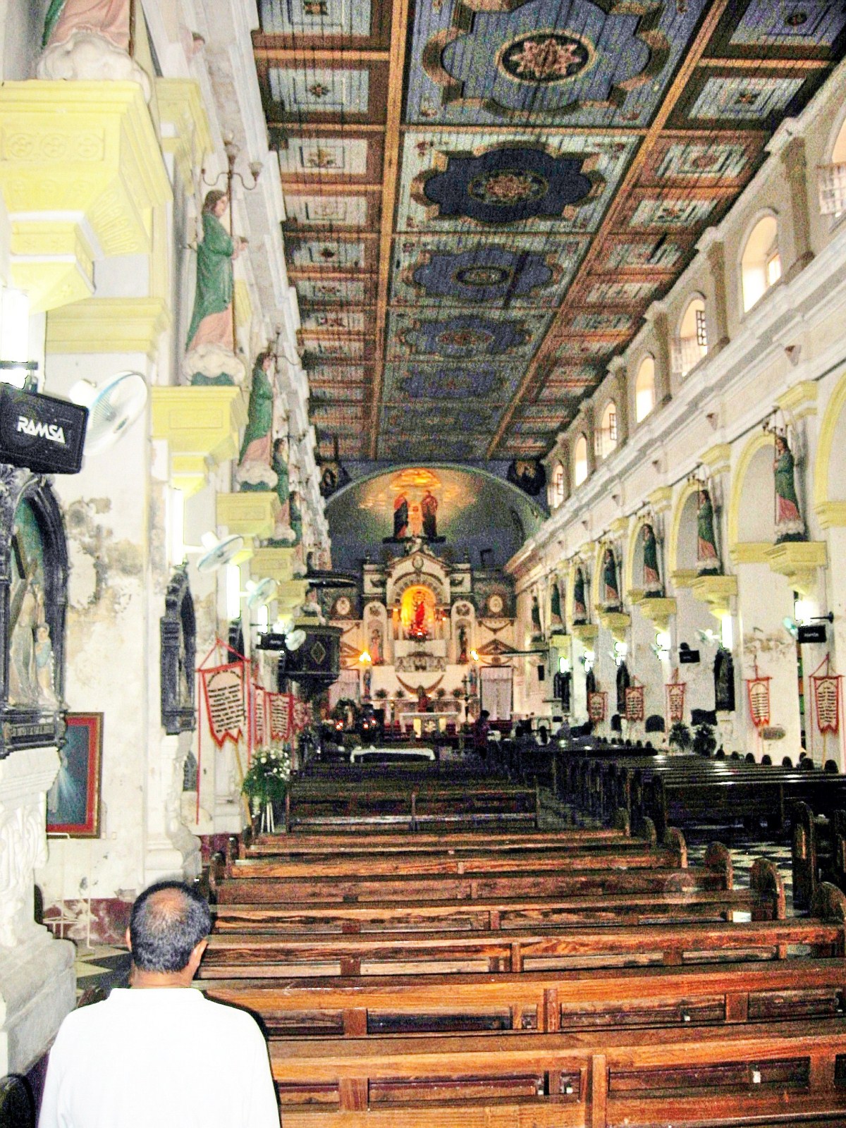
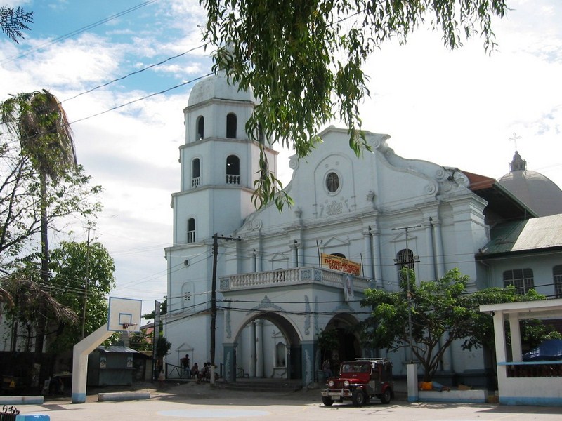
The town’s brick and stone church was started in 1641 and supervised by Fr. Jose Duque. It was artistically painted by Fr. Antonio Bravo in 1862 and the beautiful dome above the transept was built by Fr. Paulino Fernandez in 1886.
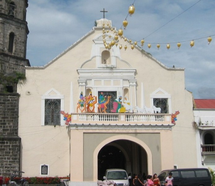
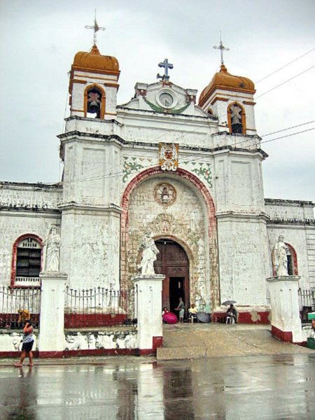
Church of the Immaculate Conception
Its Classic facade has slender, superimposed and paired Doric columns and a scarcity of decorative elements. The undulating pediment has a raking cornice in the form of a large scroll. It also has an oval window at the retablo and geometric motifs within a stilted semicircular arch molding.
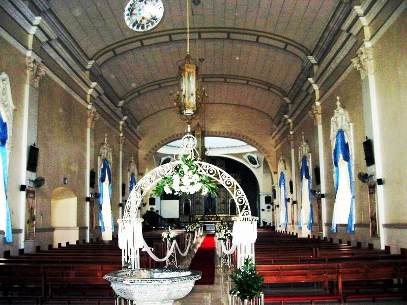
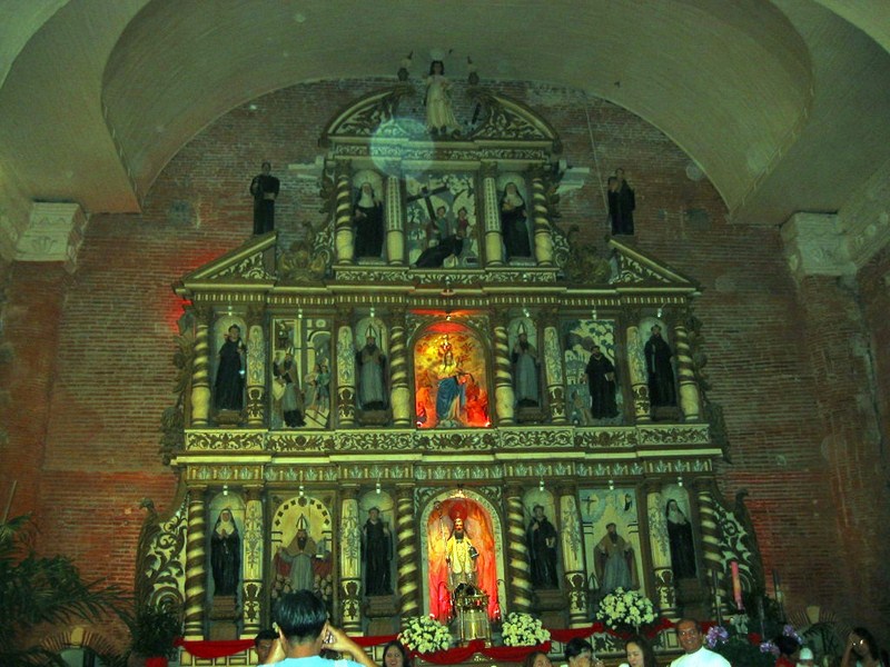
The church’s interior
The present stone convent was built by Fr. Manuel Carillo but was recently razed with only the walls remaining.
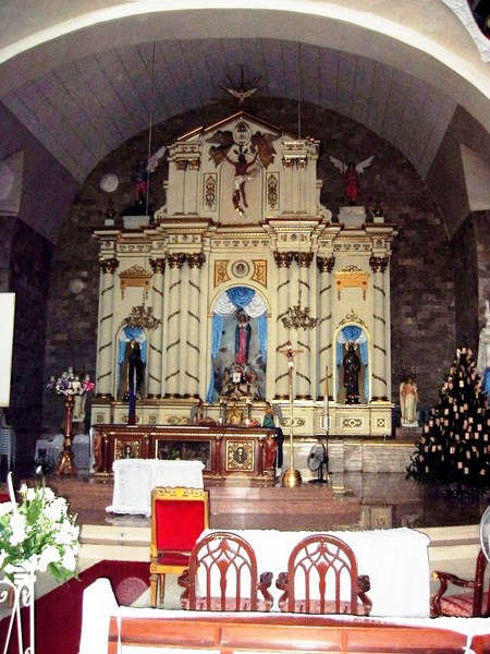
The altar retablo
How to Get There: Guagua is located 77 kms. from Manila and 10 kms. south of the City of San Fernando.