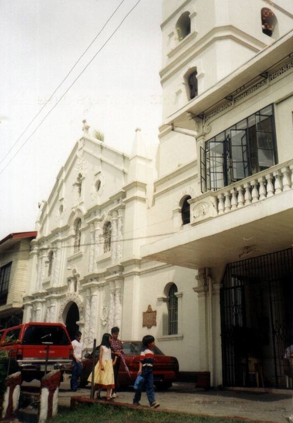
Jandy and I checked out of Villalobos Lodge in Lemery by 6 AM, had an early breakfast at the town and drove beyond the small bridge (Lemery’s boundary with Taal) over the Pansipit River to Taal’s poblacion (town center) which was zoned and patterned by Spanish architects after the town of Albuquerque in Spain.
 |
| Taal Park |
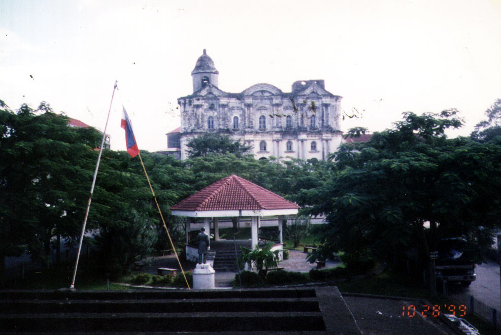
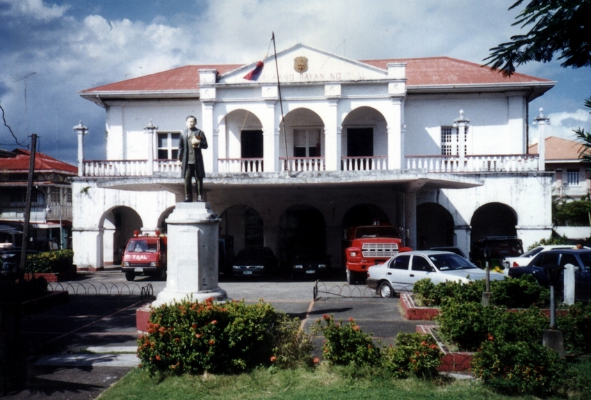
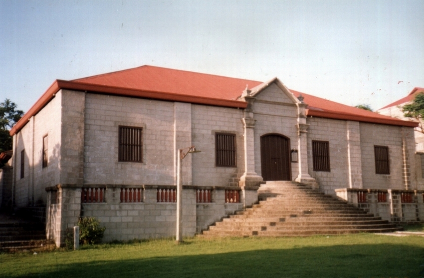
Our first stop was the town’s stately municipal hall, the former Spanish-era Casa Real. It was built from 1846 to 1850 by Augustinian Fr. Celestino Mayordomo. Directly in front is the wide, landscaped Taal Park with its mercury lights and statues of Jose Rizal (installed by Banaag Nang Tagumpay), Apolinario Mabini (installed by the Malvarian Society on December 1928), A Los Heroes Nacional (installed by La Sociedad La Patria on May 20, 1929) and the newer one of Marcela Agoncillo (installed January 20, 1979). This central area was restored in 1976 during the administration of Mayor Corazon A. Caniza.
 |
| Taal Municipal Hall (Casa Real) |
To the left of the basilica is the former Escuela Pia, now Taal’s Cultural Center. It was built by Fr. Aniceto Aparicio in 1885 and was restored by the Taal Arts and Culture Movement in cooperation with the National Historical Institute. It was made into a National Historical Monument by virtue of Presidential Decree No. 260 (August 1, 1973), Executive Order No. 375 (January 14, 1974) and Executive Order No. 1505 (June 11, 1978)
 |
| Taal Cultural Center (Escuela Pia) |
.JPG)


.jpg)


.JPG)
.JPG)