
Corregidor Island
The first time I visited the island fortress of Corregidor was way back in 1975 (via a Philippine Navy LST) when we had our Don Bosco High School CAT (Citizen’s Army Training) bivouac. Back then this bastion of democracy was just as it was – in ruins, and Malinta Tunnel was just a haunt for the ghosts of World War II past. And to add insult to injury, scavengers even made a killing cutting up some of the pre-World War II guns for scrap iron. Surely, its defenders would have turned in their graves.
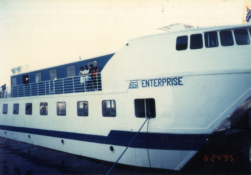
MV EGI Enterprise
Things have changed since then. In 1987, the private, non-stock Corregidor Foundation, Inc. was created by the Department of Tourism with the Philippine Tourism Authority as its implementing arm. The island was reforested and its infrastructure was developed and upgraded. Now, more than 50,000 people visit the island each year.
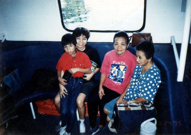
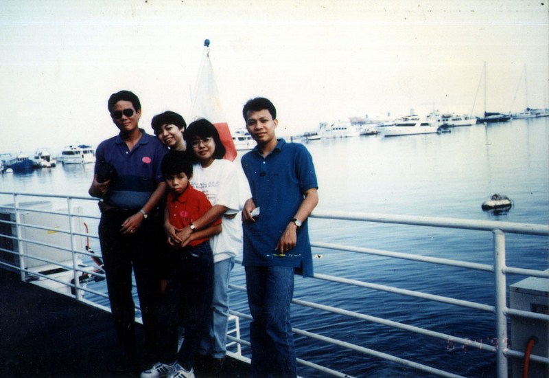
Jandy and Grace with her Tita Rory Bilog (second from right)
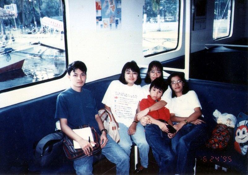
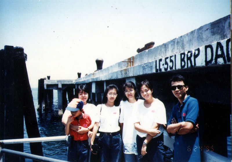
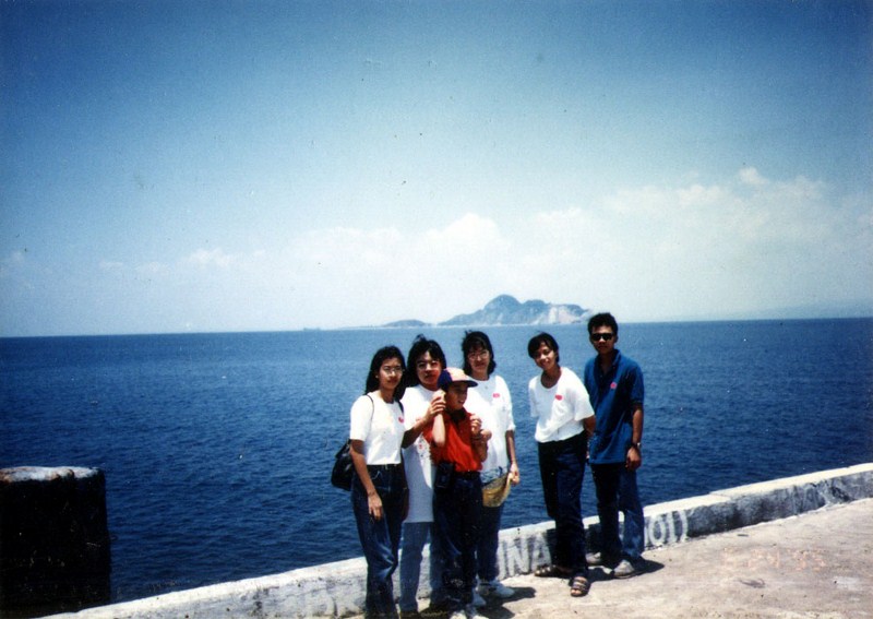
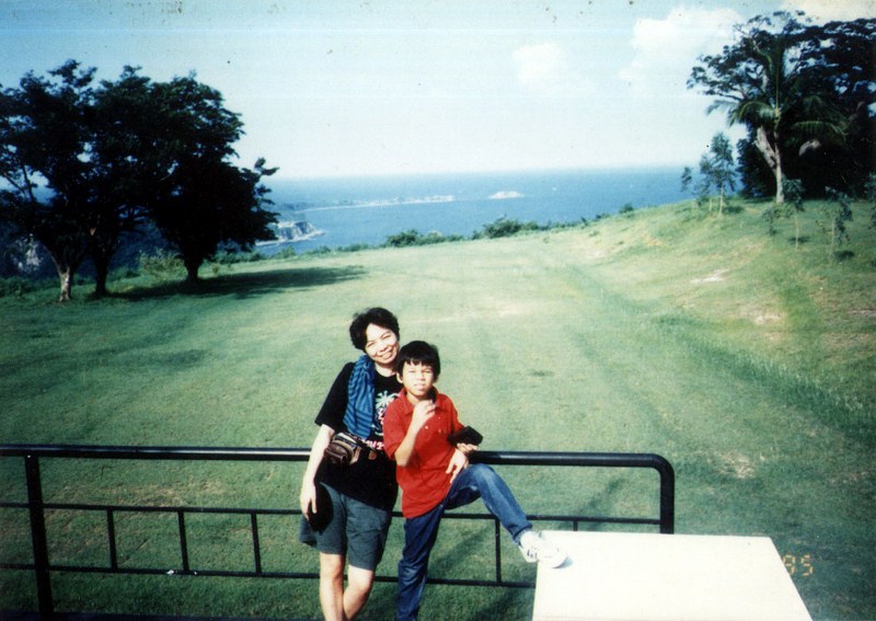
Twenty years since I last visited the island, I again made a pilgrimage to this former bastion of military supremacy in the Pacific. My wife Grace and my 8 year old Jandy joined me and we left early in the morning aboard the MV EGI Enterprise, owned and operated by E. Ganzon Inc. (E.G.I.), the outfit where wife worked.
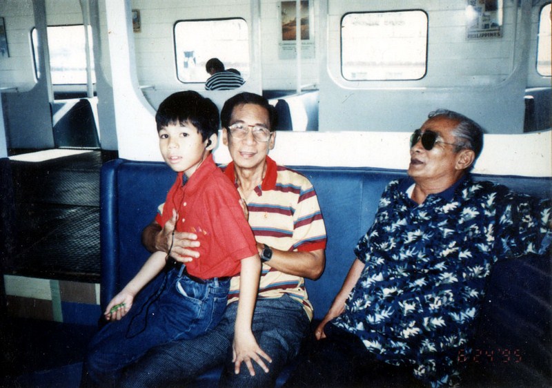
Jandy seated on the lap of his Tito Greg Bilog
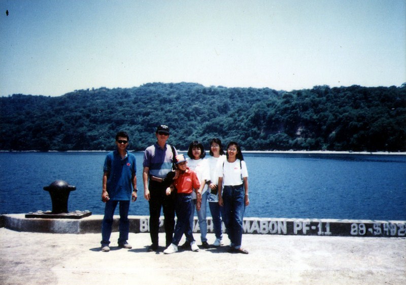
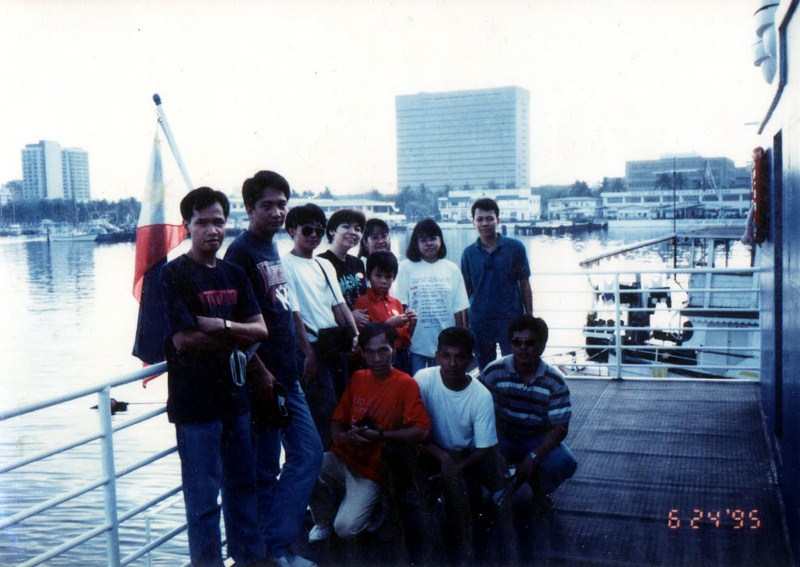
Joining us were sisters Helen and Cherry Pie Ganzon and E.G.I. officers Mely Macapagal (a distant relative of now President Gloria Macapagal Arroyo) and Raquel Purificacion. Other employees of E. Ganzon, Inc. also joined us. By coincidence, Grace’s Tito Greg and Tita Rory Bilog were also on the trip.
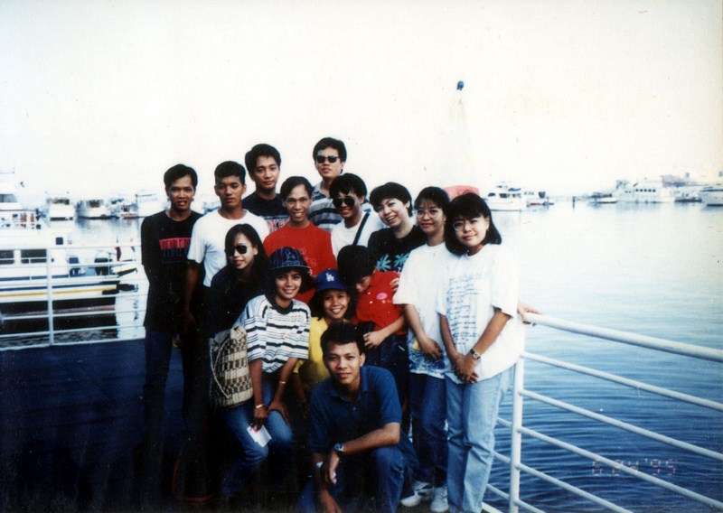
EGI staff on board the MV EGI Enterprise
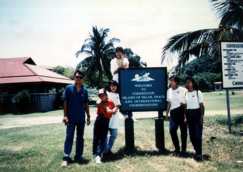
We departed the PTA Bay Cruise Terminal at the CCP Complex by 8 A.M.. The trip took all of three and a half hours and lunch was served before we disembarked.
This tadpole-shaped, 9 sq.km. Corregidor Island lies at the entrance to Manila Bay and is dominated by huge limestone formations. It is 5.6 kms. long, 2.4 kms. at its widest point and is 6 kms. off the tip of the Bataan peninsula, 16 kms. from Cavite to the south and 45 kms. across the bay from Manila.
Its head rises 200 m. from the sea, flattens into two plateaus called Topside and Middleside and below them is Bottomside (its lowest point, at 50 ft. above sea level) and Malinta Hill. The distance from Topside to Bottomside is about 3 kms.. The summit affords fine views of the Bataan peninsula and the surrounding sea while the tail end has narrow sandy beaches with clear waters.
The island’s name was either derived from the Spanish name for “corrector” (one who checks and corrects papers of incoming ships) or from the Spanish word corregidor (the man who heads the corregimiento or unpacified military zone). It is currently administered from Cavite Ciy (Cavite). The island is, however, nearer geographically and historically to Mariveles (Bataan) and is currently being contested by the two provinces.
Originally called Maribela, it was the haunt of Chinese and Moro pirates and was a signal station where bonfires were lit to apprise Manila of an incoming galleon. The Dutch captured the island in 1647 and used it as a base for raids on the Bataan coast. The Spanish subsequently built a dockyard, naval hospital, lighthouse and gun emplacements.
Approaching North Dock
The Americans, seeing its strategic value, renamed it Fort Mills and strengthened its fortifications, boring Malinta Tunnel and installing 56 coastal guns in 23 seacoast batteries and mortars and 76 anti-aircraft guns in 13 batteries. The artillery models date back to 1890.
Nicknamed “The Rock” and now a National Shrine, it acquired immense significance as a symbol of determined resistance to Japanese invaders by its embattled Filipino and American defenders during World War II. It was also the seat of the Commonwealth government of Pres. Manuel L. Quezon after the fall of Manila, and the headquarters of Gen. Douglas MacArthur and U.S. High Commissioner Francis B. Sayre.
The island was first bombed by the Japanese on December 29, 1941. After Bataan’s fall on April 9, MacArthur withdrew part of his Fil-American forces to Corregidor and its sister islands, Caballo, Carabao and El Fraile. It was intensively bombarded by Japanese planes and 110 guns, ranging from 75 mm. to 240 mm.. The guns of Corregidor and the other islands countered as best as they could until all its guns were knocked out.
On May 5, the Japanese launched a two-battalion invasion on the beaches, two-thirds were destroyed by the gallant defenders, but the remainder made a successful beachhead. The 13,000 sick and hungry defenders retreated to the Malinta Tunnel system, held out for a day, and surrendered on May 6, 1942.
During the liberation, Corregidor was captured by a combined air (503rd Parachute Regiment led by Col. George M. Jones) and sea assault from February 16-March 1 which cost 210 American lives. Fewer than 50 of the 5,200 Japanese defenders survived.
In 1968, Corregidor again hugged the headlines when over 60 Tausug and Sama youths, recruited for a top secret training program known as “Project Merdeka” (objective: attack disputed Sabah or Borneo), staged a mutiny on the island. They were all killed by their training officers in what became known as the infamous “Jabidah Massacre.” This event was said to have triggered the birth of the Moro National Liberation Front and the rise of its chairman, Nur Misuari.
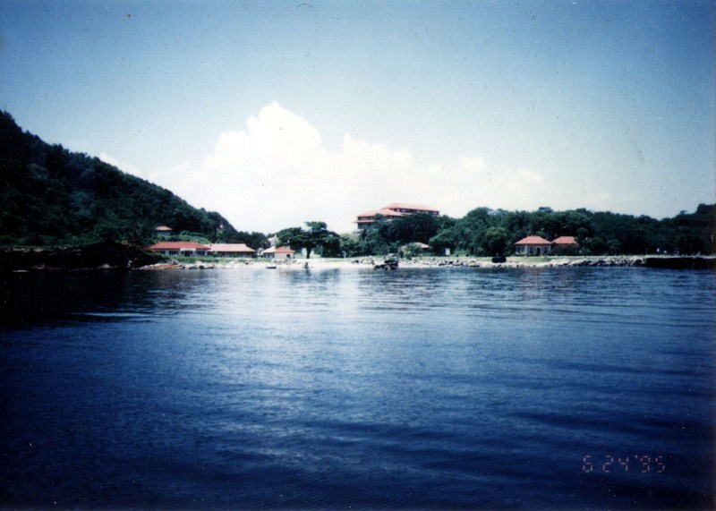
Upon arrival at the island’s North Dock, a jeepney was waiting to tour our group around the island. Our first stop, past the Corregidor Hotel and Resort, was South Dock at Bottomside where the gallant allied garrison surrendered.
Walking around, we visited Lorcha Dock and San Jose Church. Lorcha Dock is where Douglas MacArthur departed via PT boat for Australia. It contains a life-size bronze statue of the general and a plaque with the immortal MacArthur words “I Shall Return”. San Jose Church, at Barrio San Jose, is a reconstruction of the island’s original church.
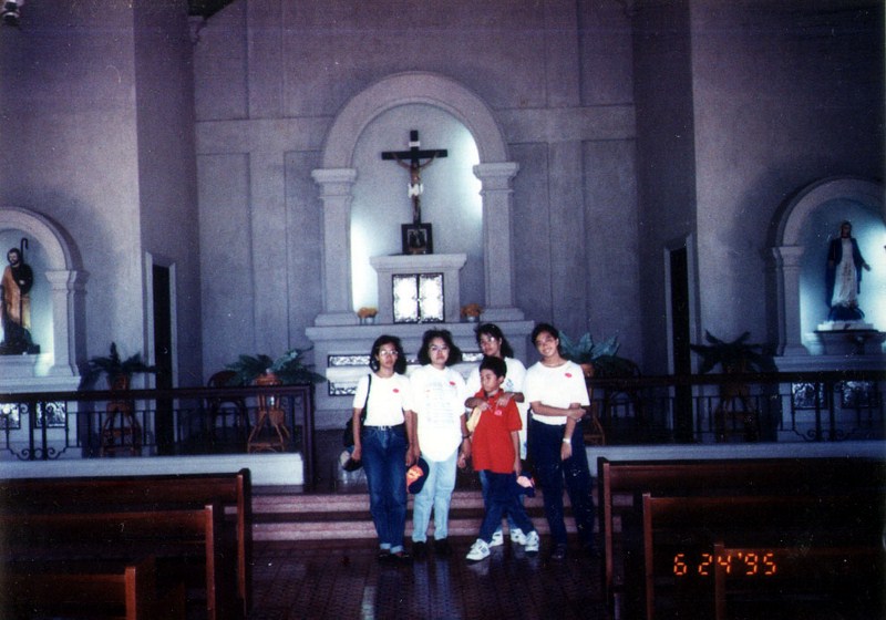
San Jose Church
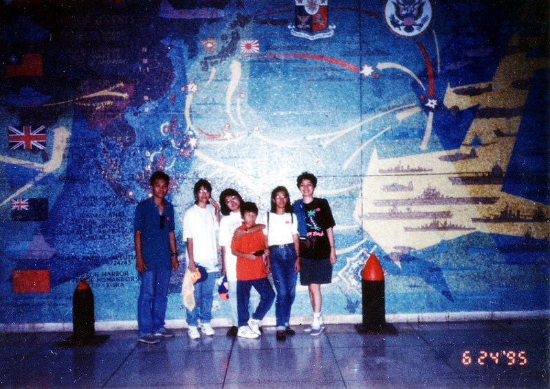
We then booked ourselves (P100 for adults and P50 for children) for the 2 P.M., 30-minute Light and Sound Show at Malinta Tunnel. Vividly staged for visitors, it was scripted by the late National Artist Lamberto V. Avellana and it reenacts dramatic events during World War II like the Japanese invasion, the surrender and the liberation of Corregidor.
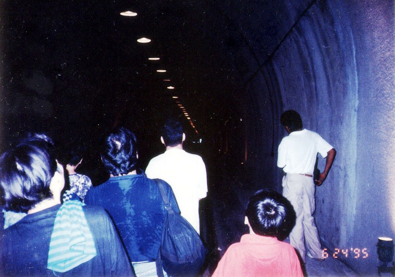
Malinta Tunnel
Malinta Tunnel, since renamed Wainwright Tunnel, is actually an 836-foot long, fishbone-shaped system of bombproof tunnels with three 227 meter by eight meter main sections and 24 49 m. by 4.5 m. laterals. Besides being the headquarters, it also housed a 1,000-bed hospital, a U.S. Navy command unit and storage areas. It was bored out of Malinta Hill with Old Bilibid Prison inmates between 1922 and 1932. MacArthur stayed here from December 29, 1941 to March 12, 1942 and occupied the third lateral (north side) from the entrance.
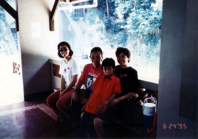
Waiting outside the tunnel
After the show and tour of the tunnel, we visited the Aviary which housed foreign and local varieties of birds like the Philippine horned owl, Australian cockatiels, scarlet macaus and peacocks.
Back to our jeepney, we then proceeded to Battery Way and Hearns at Topside. Topside, the heart of Fort Mills, contained all the major caliber seacoast guns around it which commanded the north and south entrances to Manila Bay. It also contained the pre-war Army headquarters (Harbor Defense and Senior Officers Quarters), American High School, parade ground, golf course, theater (Cine Corregidor), old Spanish lighthouse, the “Mile Long” barracks, the Pacific War Memorial and the famous flagpole.
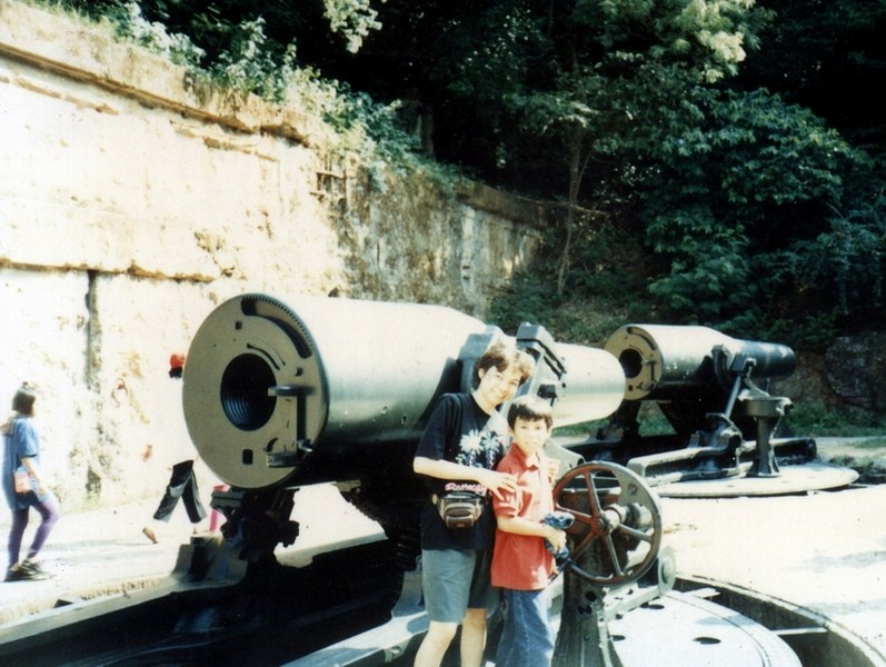
Grace and Jandy at Battery Way
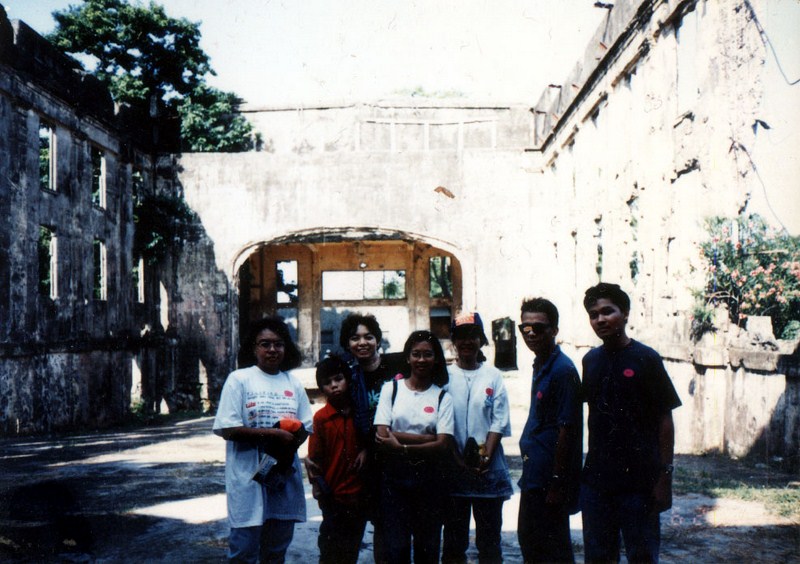
En route to Battery Way, we passed by the ruins of two three-storey buildings of Middleside which housed the 60th Coast Artillery Regiment and the 91st Philippine Scout Coast Artillery Regiment and the post hospital. It was briefly occupied by the 4th Marine Regiment upon its arrival in Corregidor in December 1941.
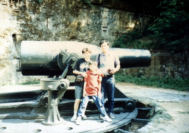
Battery Way
Battery Way, completed in 1913, was armed with four 12-inch mortars capable of firing in any direction with a maximum range of 14,610 yards at the rate of one round per minute per mortar. Three of the serviceable mortars opened fire on April 28, 1942 and on May 2, two of these were hit. After more than 12 hours of continuous firing, the remaining mortar finally froze tight on May 6, the last to cease firing before the surrender.
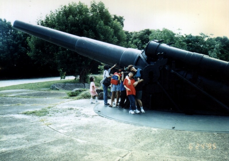
Battery Hearns
Battery Hearns, a 12-inch seacoast gun with a maximum range of 29,500 yards, was capable of firing in all directions. It was one of the last major additions to the island’s defense system and had been in action firing towards Cavite (from February 1942) and towards Bataan (April 8 and 9). It was captured nearly intact by the Japanese, repaired but completely neutralized by American aerial bombardment from January-February 1945.
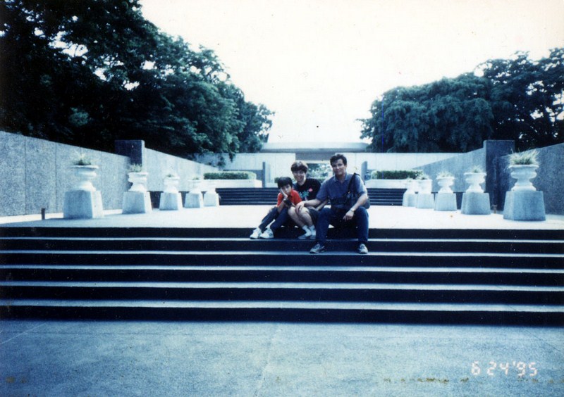
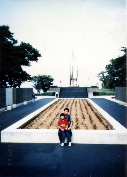
Pacific War Memorial
After our visit to these batteries, we then proceeded to the Pacific War Memorial. Standing on the highest part of Corregidor on the island’s west, it was built by the U.S. government and completed in 1948 at the cost of US$ 1,230,000.
Check out “Pacific War Memorial Museum“
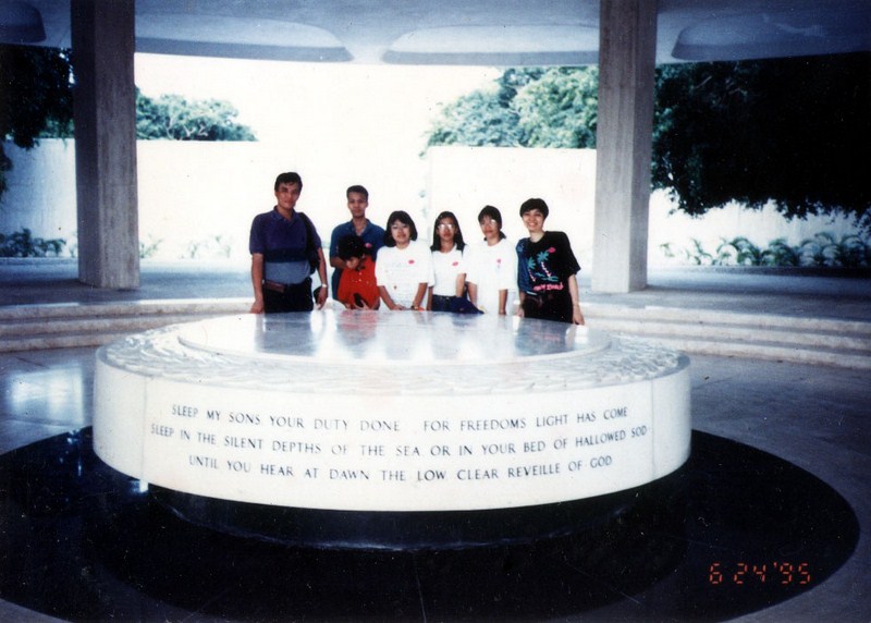
Circular altar
It is dedicated to the Filipino and American soldiers who shed their blood on Corregidor. The memorial’s dome has an opening at the top through which sunlight shines through to exactly fill a circular altar on the week of May 6, the Fall of Corregidor.
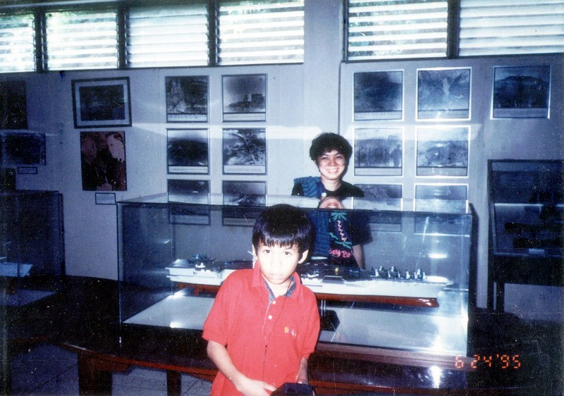
Left of the acacia tree-shaded entrance is the Cine Corregidor Ruins and behind it is a small, modest marble museum containing war relics, photos, a documentary film projection room, souvenir shop and descriptive information.
Cine Corregidor Ruins
A familiar display is the bullet-riddled car used by former First Lady Dona Aurora A. Quezon when she was ambushed by Huks on April 28, 1949 together with daughter Ma. Aurora and son-in-law Felipe Buencamino III. It was formerly housed in Fort Santiago in Manila.
Corregidor Museum
To the right of the museum is the remains of the Bachelor Officers’ Quarters and the Post Headquarters. Within the complex is the steel wing-shaped sculpture Eternal Flame designed by Greek-American sculptor Archimedes Demetrius.
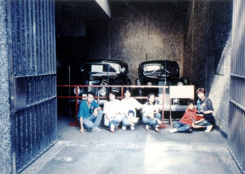
The bullet-riddled car of Dona Aurora A. Quezon
The flagpole, originally a mast of a Spanish warship, was salvaged by Adm. George Dewey after the Battle of Manila Bay, and had it planted in Corregidor. It is where the American flag was lowered during the surrender and raised again during the liberation. The American flag was lowered for the last time on October 12, 1947 and the Philippine flag was hoisted in its stead.
Eternal Flame
The 880-m. long, three-storey high and hurricane-proof “Mile Long” Barracks is reputedly the world’s longest military barracks. It housed 8,000 men and the headquarters of Gen. Douglas MacArthur. Our visit to the memorial concluded our island tour. It was getting late and we had return to our ship for another three-and-a-half hour trip back to Manila.
There are many other sites that could be visited besides those mentioned here. They include the Japanese Garden of Peace Park, the 6,000-square meter Filipino Heroes Memorial, the Buddhist Shrine, the Spanish Lighthouse for a breathtaking view of Manila Bay and the South China Sea, the 2,000-sq. m., fully landscaped Filipino-America Friendship Park and many other sites.
Check out “Japanese Garden of Peace Park” and “Filipino Heroes Memorial“
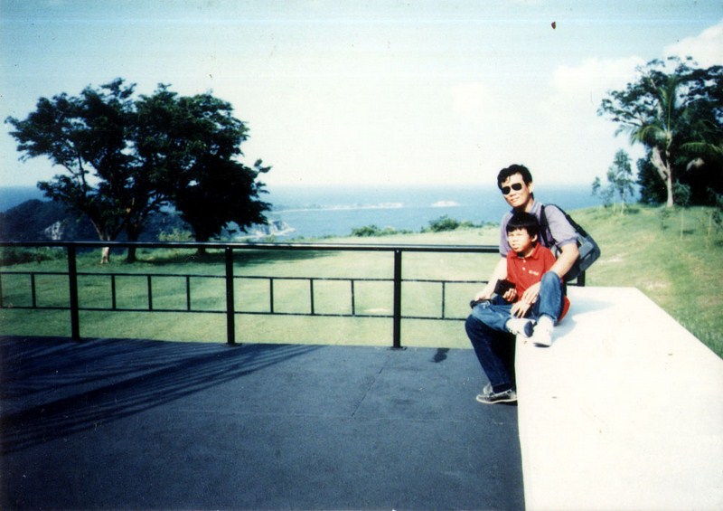
The author with Jandy
The island also brims with numerous other possibilities. For those with a sense of adventure, the island’s beaches, wide open spaces and thick vegetation lend themselves to a number of outdoor activities, like hiking along mountain trails, kayaking, biking, swimming and the game of Gotcha! (a paintball game). You have to bring your own bikes and kayaks.