|
| First Rizal Monument |
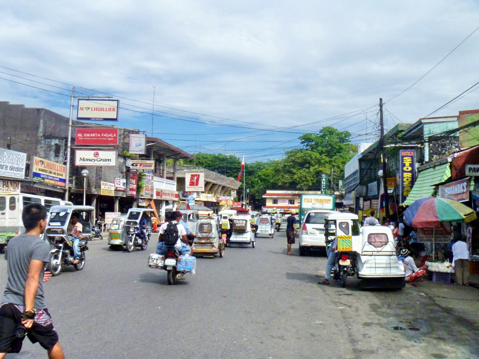
One of the highlights of our last visit to Camarines Norte (aside from the Pinyasan Festival) was the celebration of our National Hero Jose Rizal’s 150th birth anniversary. Daet figures prominently in this nationwide celebration because it is the site of the first and oldest monument erected in honor of Rizal (though he never set foot in the town) in the country (antedating, by 14 years, the more famous one built in Luneta in 1912) and in the world.
Check out “Pinyasan Festival 2011“
Last June 19, some 1,500 youth of the province, all belonging to various schools and organizations, joined a mass floral offering at the First Rizal Monument, all vowing to keep the libertarian ideals of Rizal alive and to help contribute in nation-building. A history forum, with Prof. Danilo M. Gerona of the Ateneo de Naga University, was also held there.
 |
| Plaque |
The monument, at the corner of Justo Lukban and Magallanes Iraya Sts., at Rizal Square, Kalayaan Park (the park was said to be the site where the Katipuneros held their ground during the April 14-18, 1898 uprising), in front of the old municipal hall (now the Daet Heritage Center), is a 3-tiered, 20-ft. high stone pylon designed by Lt.-Col. Antonio Sanz, a soldier-artist and revolutionary head of the local government, and Lt.-Col. Ildefonso Alegre. It was built through the financial contributions of the townsfolk of Camarines Norte and the Bicol region. Oral accounts say that the base contains a time capsule containing the list of contributors to the project while some quarters and treasure hunters believe that there were buried treasures around it.

The groundbreaking for the construction of this sparsely decorated but impressive and majestic monument, near the bank of the Daet River, was done on December 30, 1898 (just two years after Rizal’s death), in observance of the first-ever Rizal Day (the first province to do so), decreed on December 20 by then Pres. Emilio Aguinaldo, and completed sometime in February 1899, shortly after the outbreak of the Philippine-American War. Its foundation is believed to have been made with mortar and coral stone taken from the demolished old Spanish jail where many patriots, in April 1898, were tortured and executed. The monument is rather unique as it does not bear a sculpted image of Rizal, unlike other monuments today.