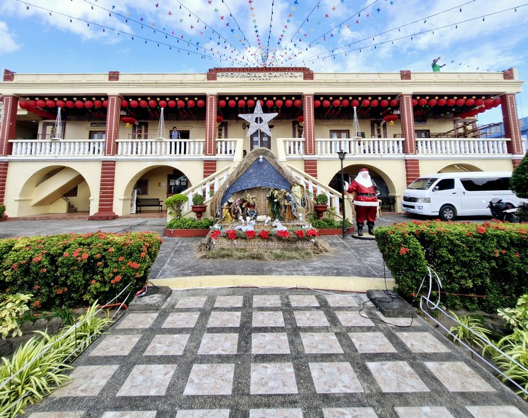
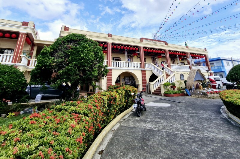
Casa Real (now the Provincial Capitol Building)
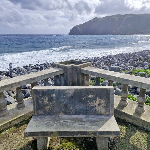
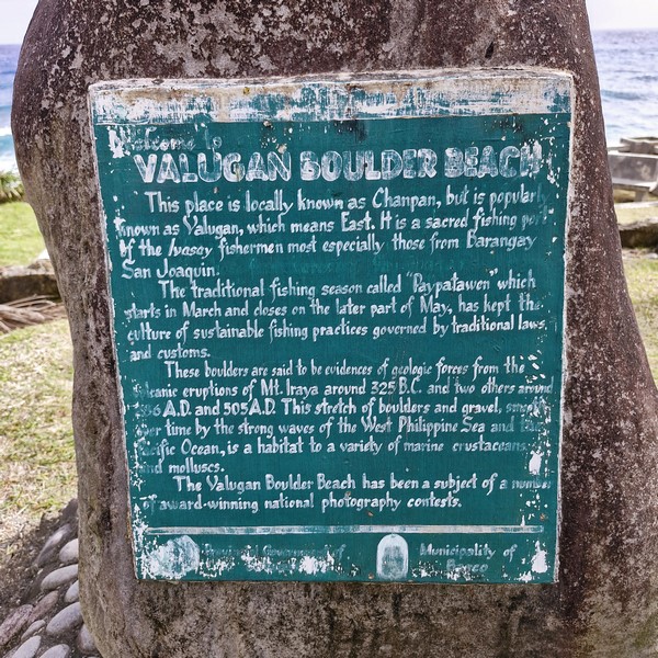
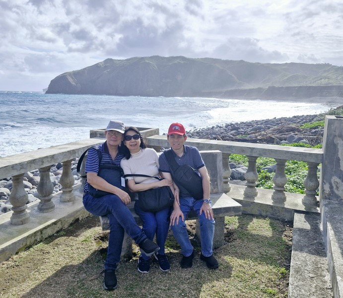
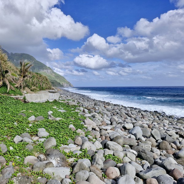
After our tour of the Valugan Boulder Beach, we again boarded our van for the short 3-km. (10-min.) drive to the 2-storey Provincial Capitol Building. Formerly the Casa Real, it was originally built from wood, during the term (1783-1785) of Don José Huelva y Megarejo, the province’s first governor.
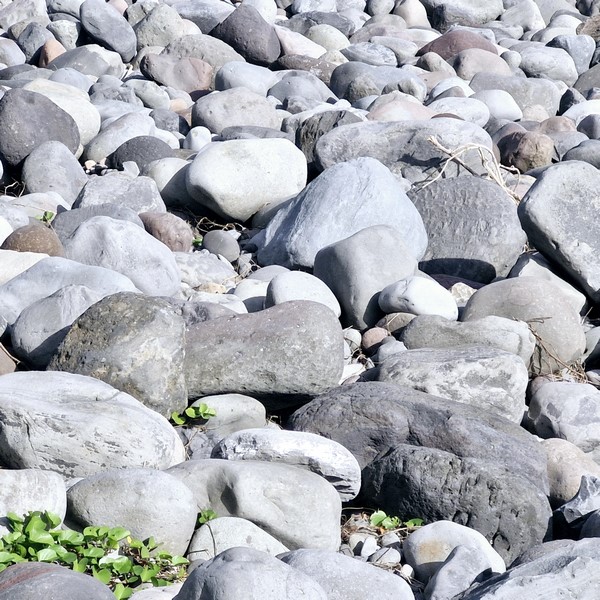
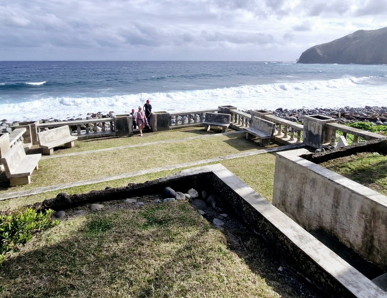
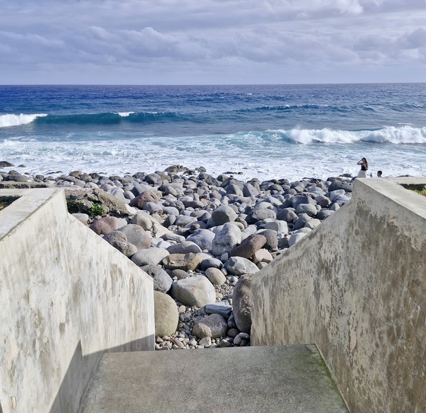
Check out “Valugan Boulder Beach”
The building was renovated during the term (1794-1798) of governor Felimon Zenoreta who introduced masonry in Batanes. On December 15, 1856, the Casa Real burned down and it was reconstructed, in stone, in 1872 during the term (1872-1885) of Governor Jose Serra.
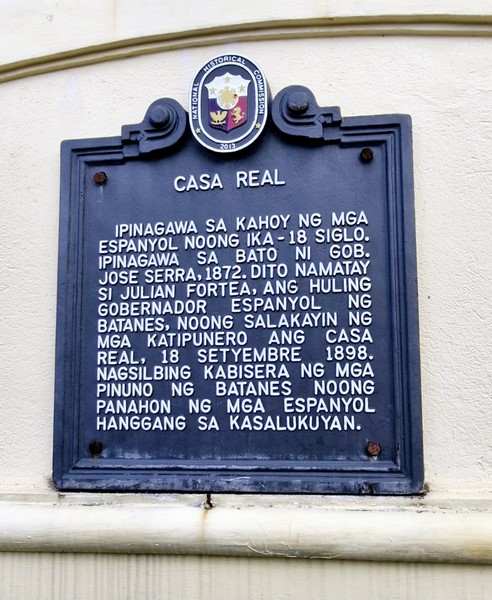
Historical plaque installed by the National Historical Commission of the Philippines (NHCP) in 2013
On September 18, 1898, Governor Julian Fortea, the last Spanish governor of Batanes, was killed here when revolutionaries stormed the building. After World War II, under the Philippine Rehabilitation Act of 1946, the capital was restored including the façade. The stairs was rebuilt to provide a grand entrance.
The Capitol was expanded, during the administration (1989-1998) of Governor Telesforo F. Castillejos, with the construction of the three annex buildings from August 1989 to January 1993 and, on March 18, 1993, the capitol was inaugurated by President Fidel V. Ramos.
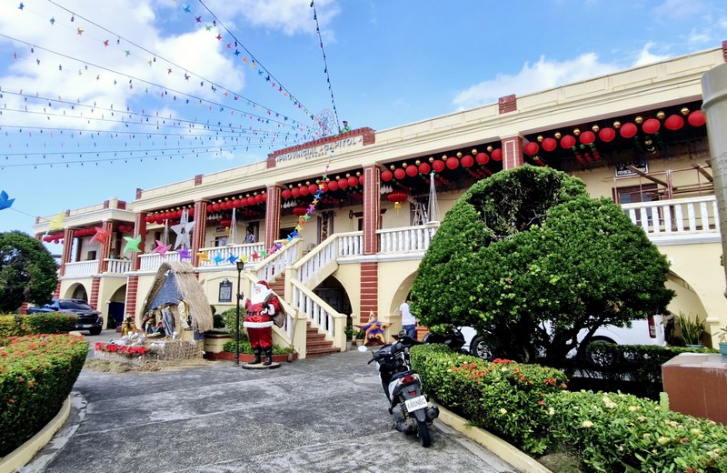
During the term (1998-2007) of Governor Vicente Gato, the buildings in the capital building complex were expanded and renovated to address the need for provincial government’s offices. It was inaugurated on March 24, 2007.
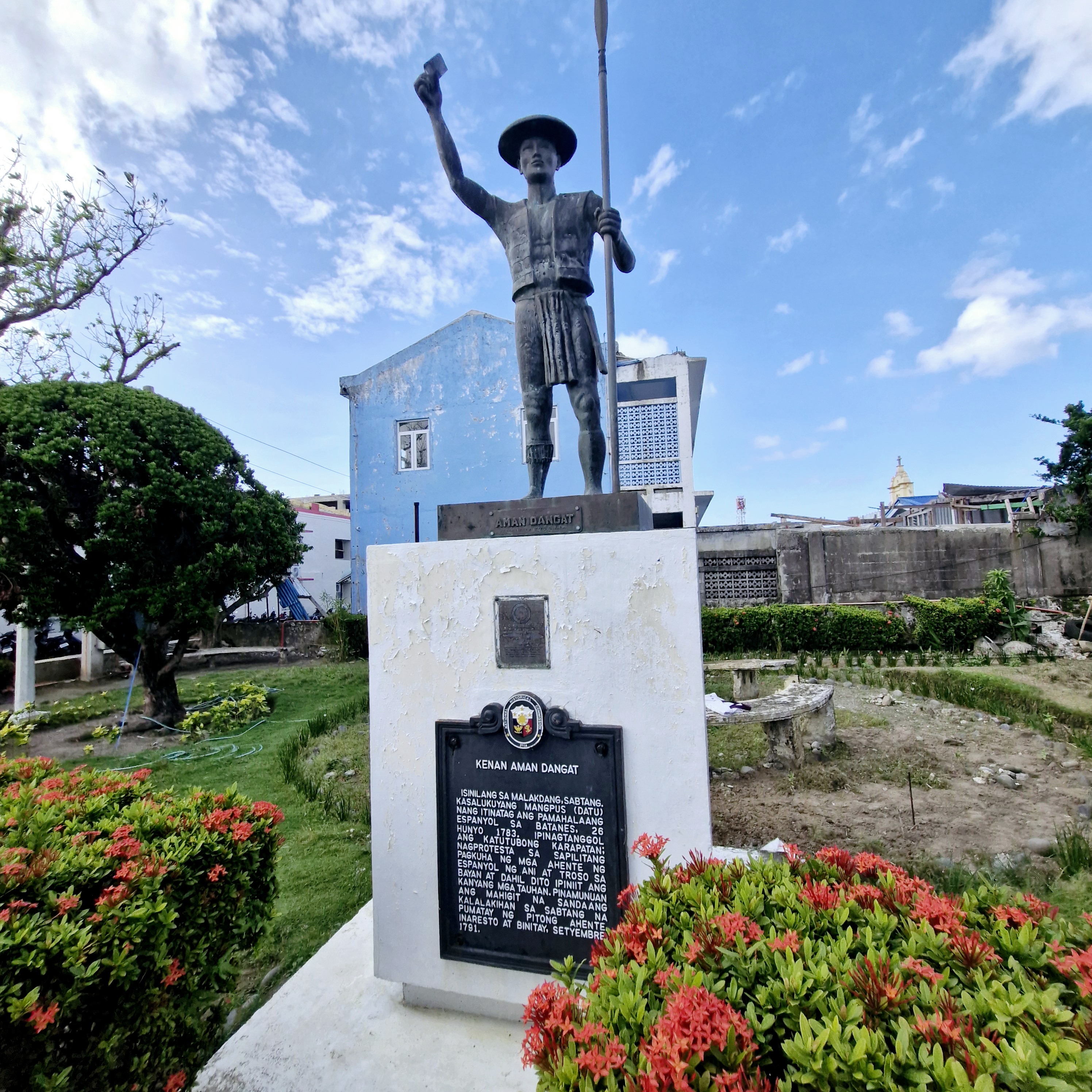
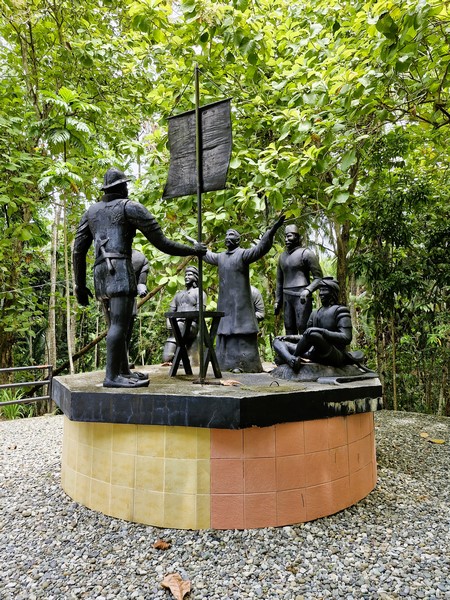
Statue of Aman Dangat
To the left of the building is the Statue of Aman Dagat. Also known as Kenan, this mangpus (tribal leader) of Malakdang led about 150 Isabtangs who rose in revolt one moonless night in September 1791 and crossed the treacherous sea to attack the Spanish mission house on Batan Island, killing seven non-Ivatan agents of the Spanish government who poached fruits and timber from Sabtang without payment.
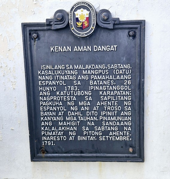
Historical plaque installed by the National Historical Commission of the Philippines (NHCP) in 2014
Aman Dagat was later hanged and the natives of Sabtang were exiled to the districts of San Felix and San Vicente in Ivana for the next 50 years (1791-1841).
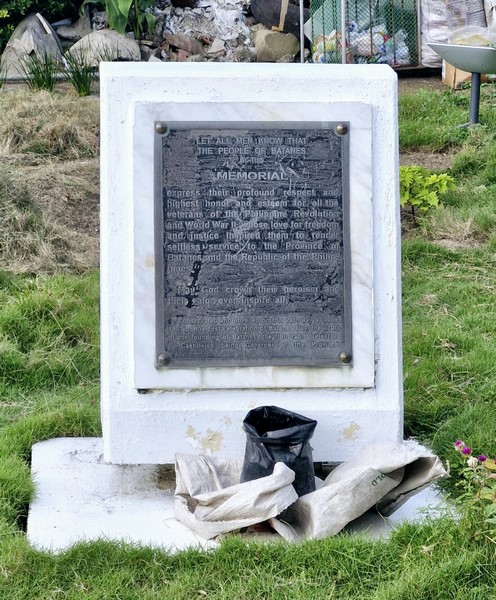
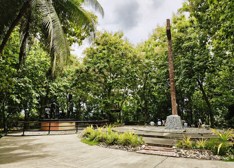
Memorial to Veterans of the Philippine Revolution and World War II
Behind this statue is the Memorial to the Veterans of the Philippine Revolution and World War II which was unveiled on June 25, 1993, the 210th founding anniversary of Batanes,
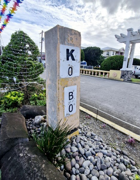
Kilometer Zero Marker
In front of the Casa Real is the Kilometer Zero Marker and the Bantayog-Wika. The former is the reference point where all distances on Batan Island are measured from. It is one of three such in the province, the other being in Sabtang Island (along the National Road, near the port and the Church of St. Vincent Ferrer) and the other in Itbayat (within the Municipal Grandstand and park).
Check out “Church of St. Vincent Ferrer”
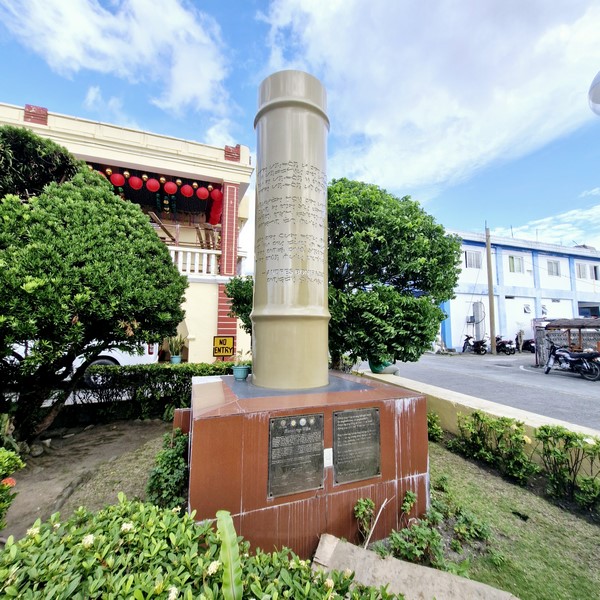
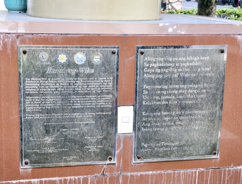
Bantayog-Wika
The Bantayog-Wika (Language Marker), a project of Sen. Loren Legarda, the local government and the Komisyon ng Wikang Filipino (KWF) recognizing the Ivatan language, was unveiled on April 8, 2019 (Basco Day). This marker, the 14th installed in the country, seeks to identify areas where the country’s 130 languages originated. Created by installation artist Luis “Junyee” Yee, Jr. in stainless steel, is inscribed (using laser technology), in baybayin letters, with several lines of Andres Bonifacio’s poem Pag-Ibig sa Tinubuang Bayan which was published in the first issue of Kalayaan, the Katipunan newsletter, in 1896.
Provincial Capitol Building: National Rd., 3900 Basco. Mobile number: (0917) 326-3744. E-mail: batanesinformation@gmail.com.
How to Get There: from Basco Airport, take the Diversion Road and turn left into National Road. The Provincial Capitol of Batanes is on the right side.