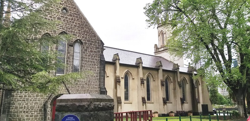
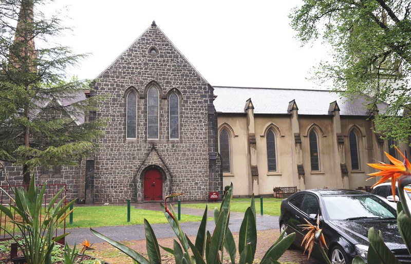
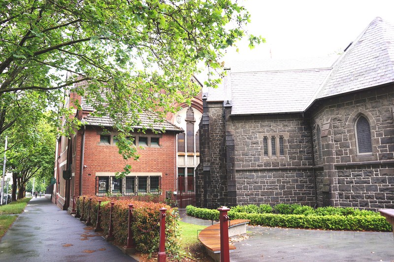
St. Peter’s Anglican Church
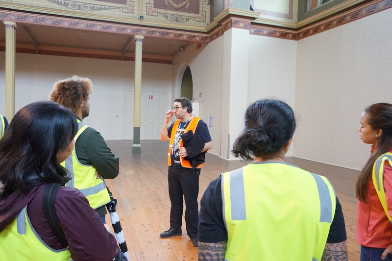
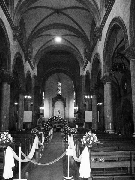
St. Peter’s Church, an Anglican parish church on Eastern Hill in the Anglican Diocese of Melbourne, is located opposite St Patrick’s Cathedral, the Roman Catholic cathedral, and the Eastern Hill Fire Station. The parish is well known as belonging to the Anglo-Catholic or High Church tradition.
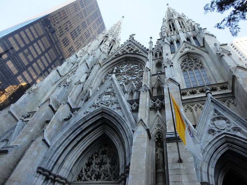
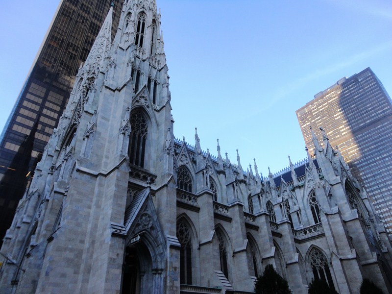
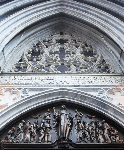
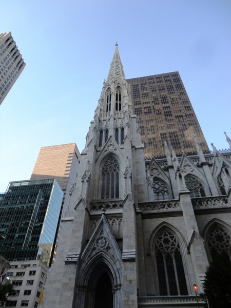
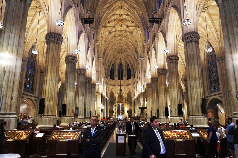
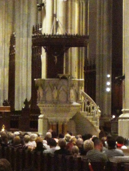
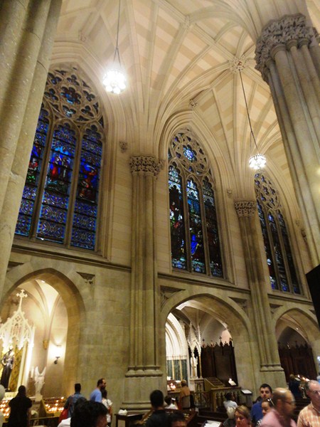
Check out “St. Patrick’s Cathedral“
Here’s the historical timeline of the church:
- On June 18, 1846, the foundation stone of the church was laid by Charles La Trobe, Superintendent of the Port Phillip District.
- In 1847, the building was first used for services even though the first part was not completed.
- On February 13, 1848, the letters patent of Queen Victoria declaring the city status of Melbourne were read on the steps of St Peter’s.
- On August 6, 1848, the church was formally opened. The initial church constructed was brick, with stone facings, and had a shingled roof.
- In 1854, the building was enlarged to designs by architect Charles Vickers, with the nave increased in length (to bring its seating capacity up to 1050), the transepts with galleries and a chancel added, and the shingles roof replaced with slate.
- In 1876, Leonard Terry carried out alterations including an enlarged chancel, an added vestry, and a baptistery, with the new chancel opened on June 29, 1876.
- In December 1876, work continued with five stained glass windows by Ferguson and Urie added to the chancel.
- In 1897, repairs and alterations were carried out by Walter Butler of Butler and Inskip which included installation of gas lines and Tobin tubes for ventilation, removal of the transept galleries, and a new layout of pews to include a central and two side aisles.
- From 1927-29, further alterations took place including installation of timber paneling in the transepts and chancel, and installation of a choir screen by Louis Williams.
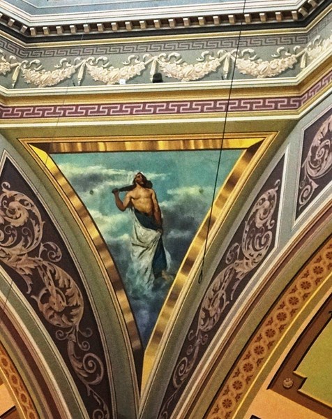
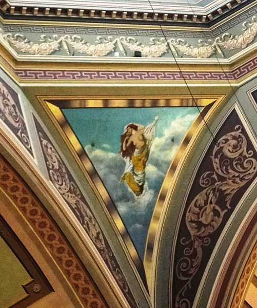
- In 1945, a stained glass window, designed by Napier Waller to commemorate the New Guinea mission (and the eleven Anglican martyrs) and to mark the centenary, was installed in the north transept. A second Waller window in the south transept was subsequently added.
- In March 1974, the current organ (the church’s third) was constructed and completed by George Fincham and Son Pty Ltd.
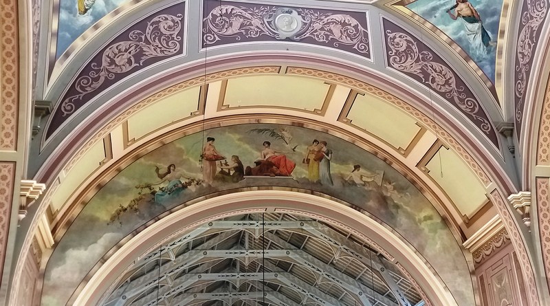
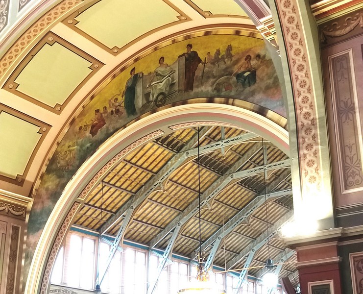
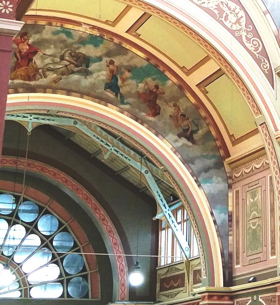
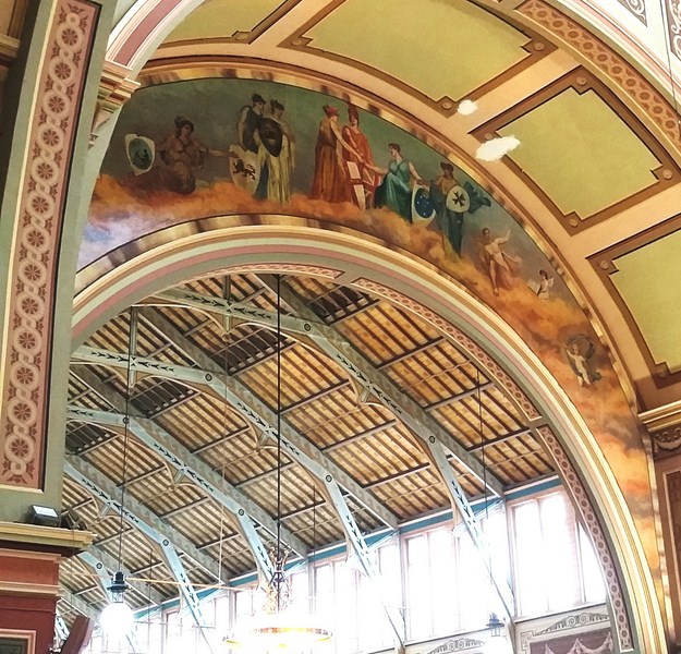
St Peter’s is the oldest Anglican church standing on its original site in the inner city area. St. Peter’s Eastern Hill precinct is also of architectural significance for its association with a successive number of prominent Melbourne architects who contributed to the development of the church precinct: Charles Laing (designed tower and brick and stucco section), Charles Vickers, Leonard Terry, William Pitt, Walter Butler, Louis Williams, and Alexander North. The group of buildings forms a picturesque precinct.
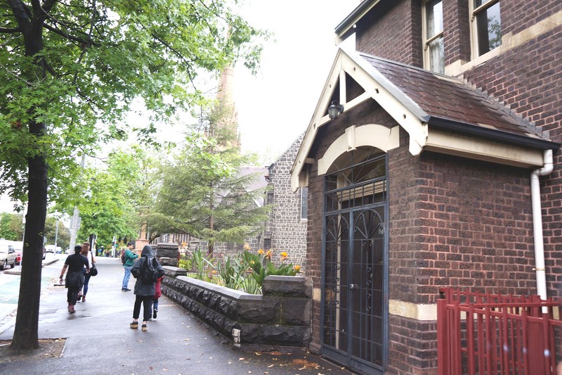
The substantially intact vicarage and school are early examples of William Pitt’s work while St. Peter’s Hall is the first work in Victoria of Tasmanian émigré architect Alexander North who specialized in church architecture. The New Guinea windows, in the north transept, are of historical significance for their representation of the eleven Anglican martyrs.
As a schoolgirl, the opera singer Nellie Melba had organ lessons at the church while the novelist Henry Handel Richardson worshiped at St Peter’s and fictionalized this part of her life in an episode in “The Getting of Wisdom.”
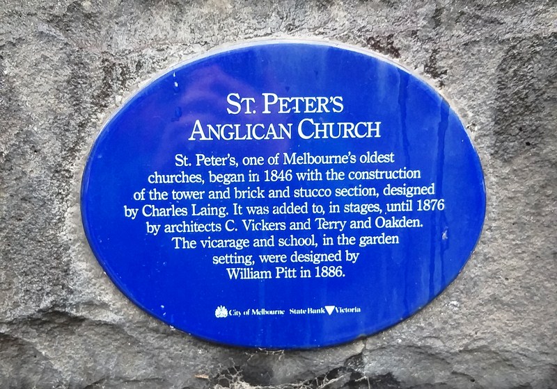
Historical plaque of church
St Peter’s is also renowned for the quality of its music. The Choir of St Peter’s Eastern Hill, a volunteer mixed choir (that leads the church’s liturgical music every Sunday as well as for weekday feasts), is conducted by Andrew Raiskums.
Opposite the church is the Cross of Sacrifice, a 6 ft. high bronze statue of a crucified Christ on a sandstone pedestal which commemorates the 366 young men and women from the Anglican Church of St. Peter who served in World War I.
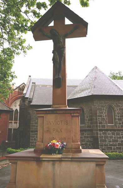
Cross of Sacrifice
It was unveiled On March 16, 1924 by the Governor-General Lord Forster and blessed by the Archbishop Lees (Anglican Archbishop of Melbourne).
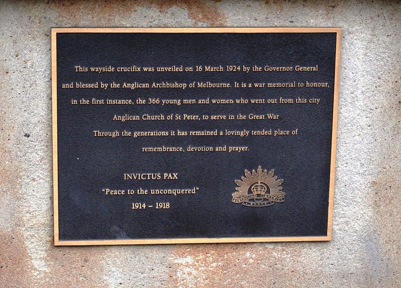
Plaque of cross
St. Peter’s Church: corner of Albert and Gisborne Sts., Melbourne, Victoria,