City Museum of Cagayan de Oro and Heritage Studies Center
We still had time to kill as we made our way to Laguindingan Airport for our return flight to Manila, so Wyller Manus, our Bukidnon tour guide, suggested we make a stopover at Cagayan de Oro City to visit the 3-storey City Museum of Cagayan de Oro and Heritage Studies Center.
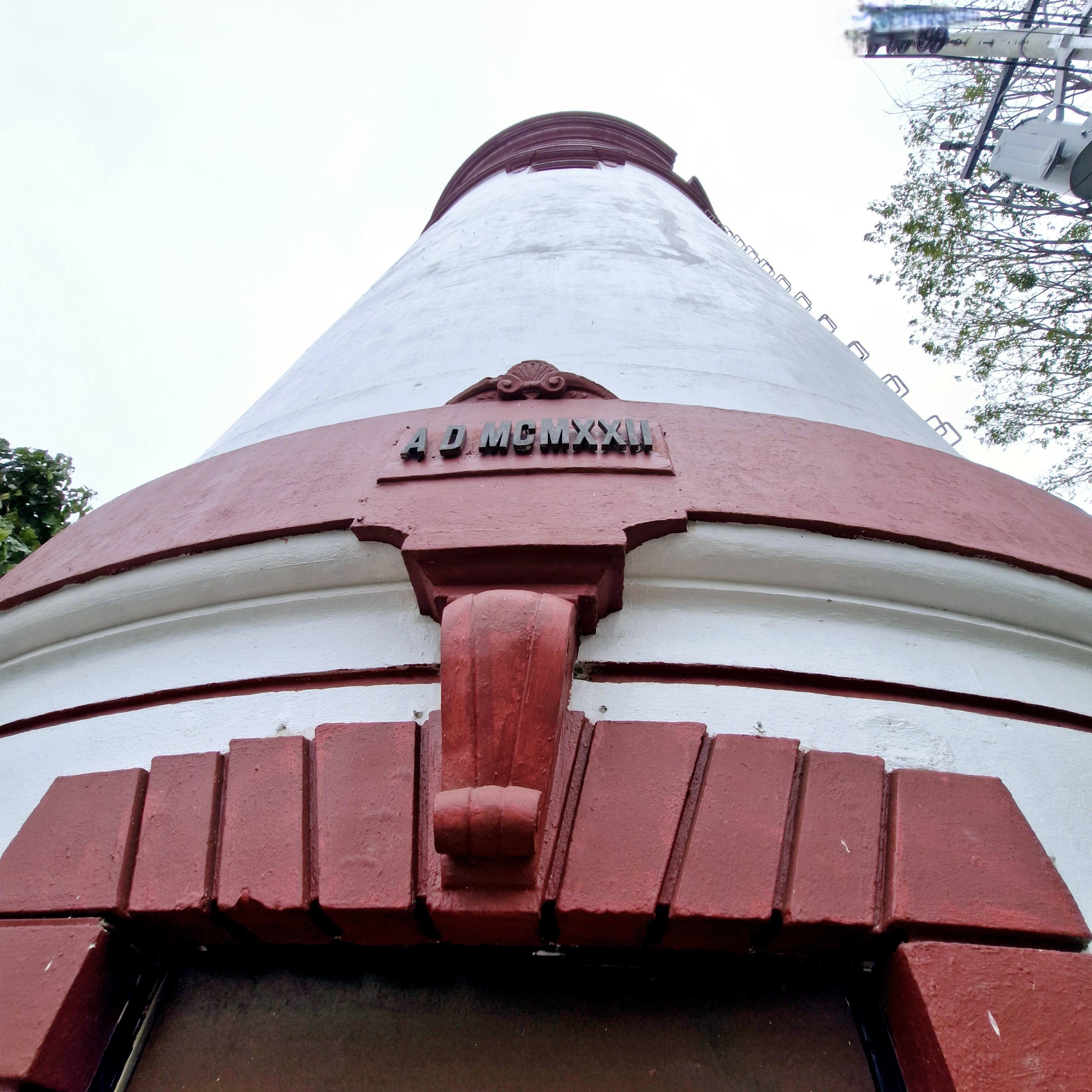
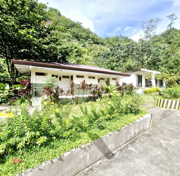
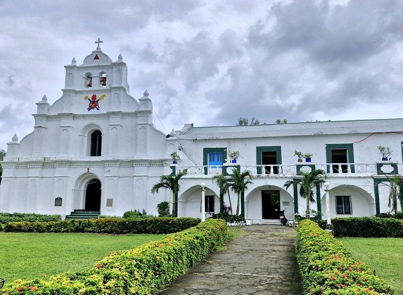
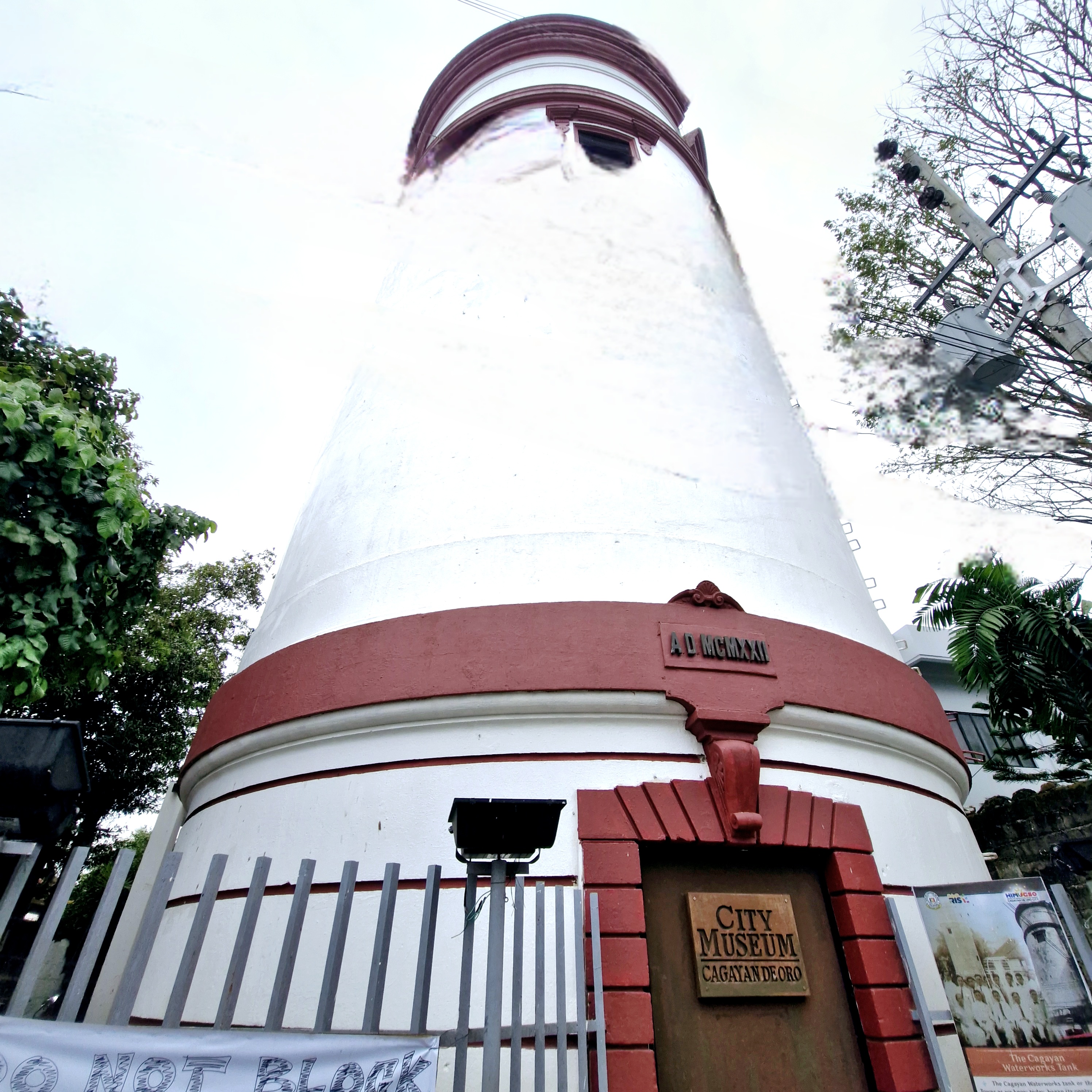
Museum facade
Here, we were welcomed and toured around the museum by Mr. Jesus Christopher “JC” F. Salon, acting curator of the museum.
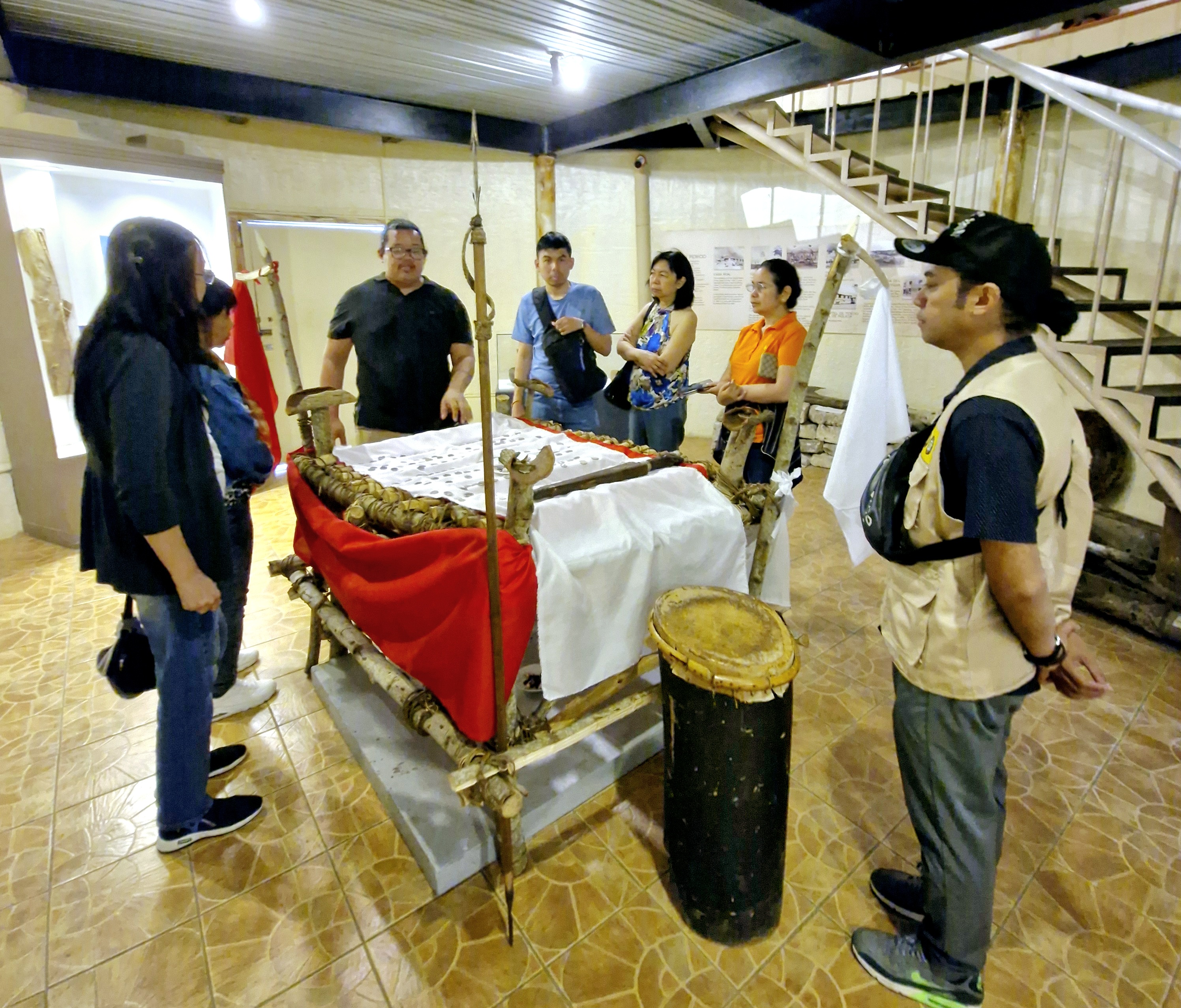
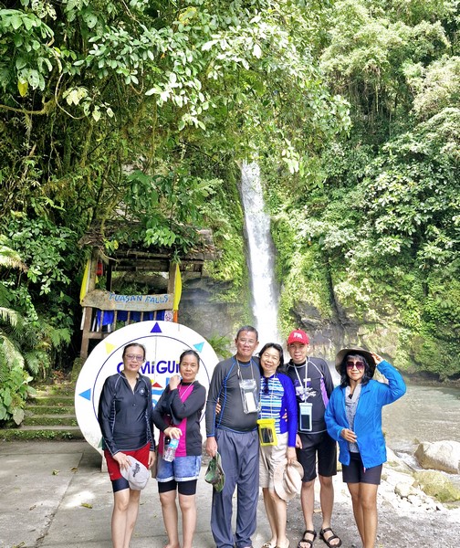
Mr. Christopher F. Salon (third from left) discussing the Higaunon Bancaso (ritual table)
Located across the street from Gaston Park, this museum, a fine example of adaptive reuse, is housed in an old cylindrical water tower that sourced water, for 3,000 people, from Mahuganao Spring, Brgy. Cugman in Malasag Hills.
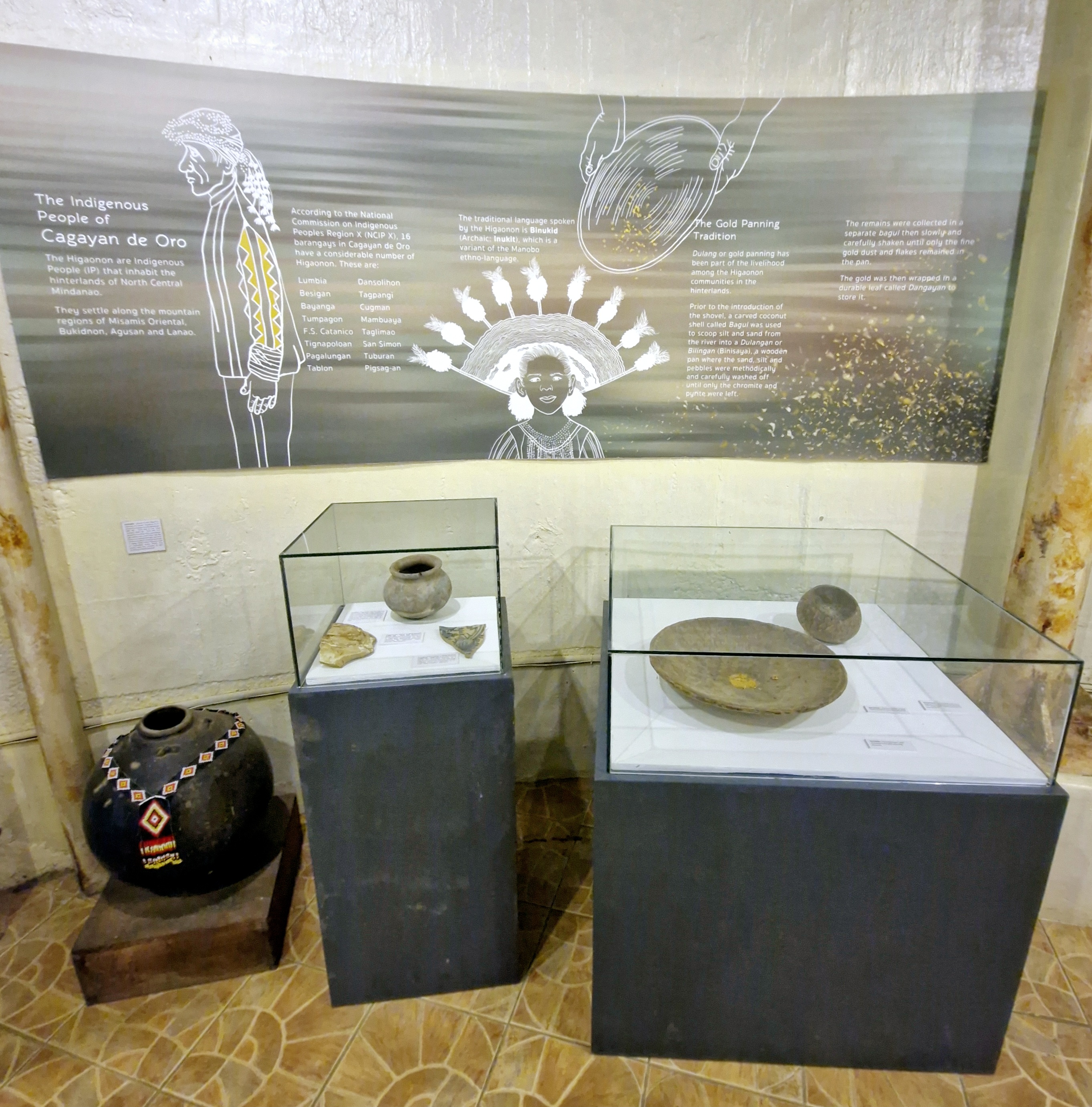
Exhibit on the indigenous people of Cagayan de Oro
Built from 1919 to 1922, it survived the September 1944 American bombing during World War II and is considered as the city’s oldest known surviving public structure.
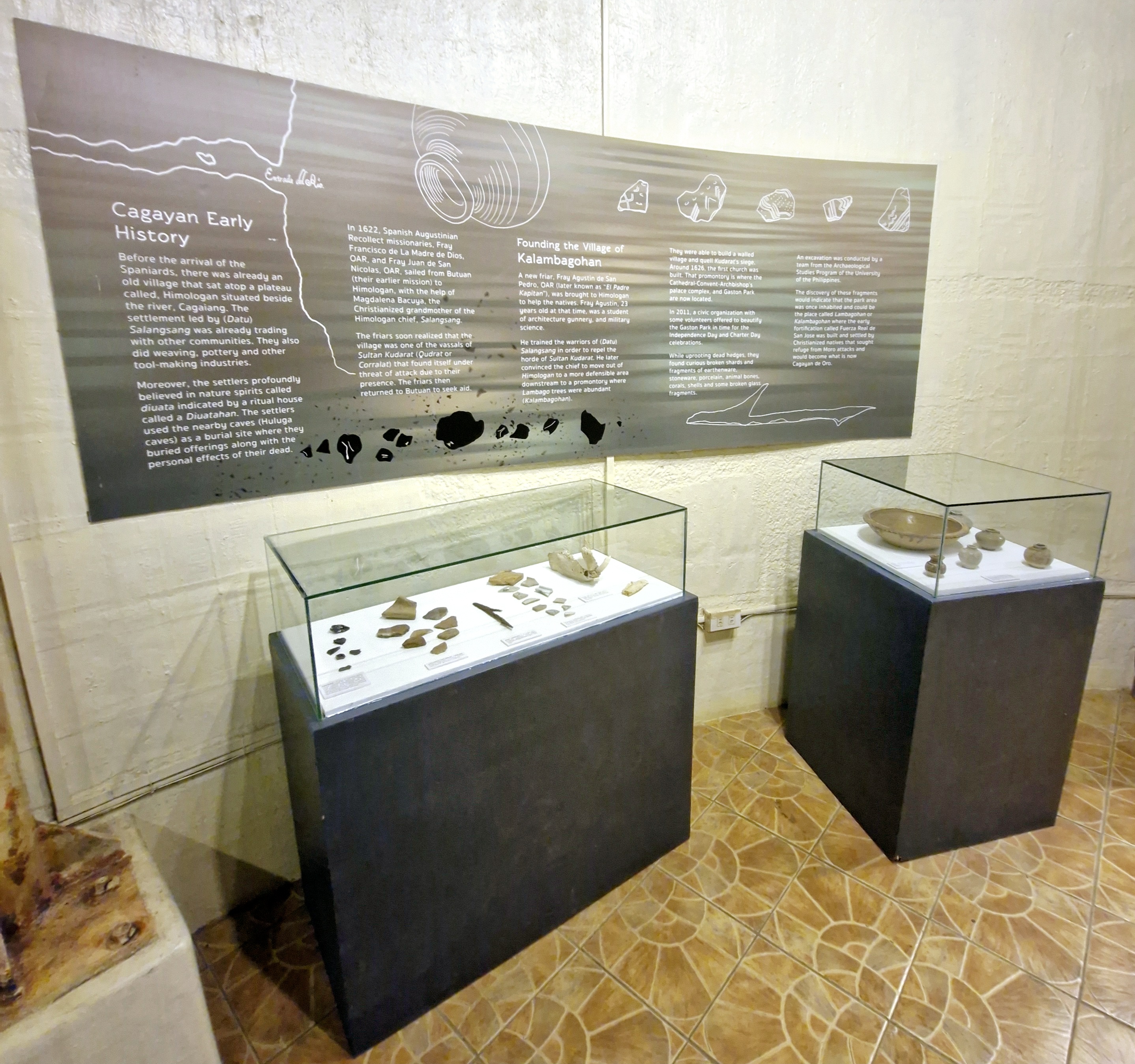
Exhibit on Cagayan de Oro’s early history
In the late 1970s, the National Waterworks and Sewerage Authority (NAWASA) took over the water system and stopped using the tower and it was abandoned.
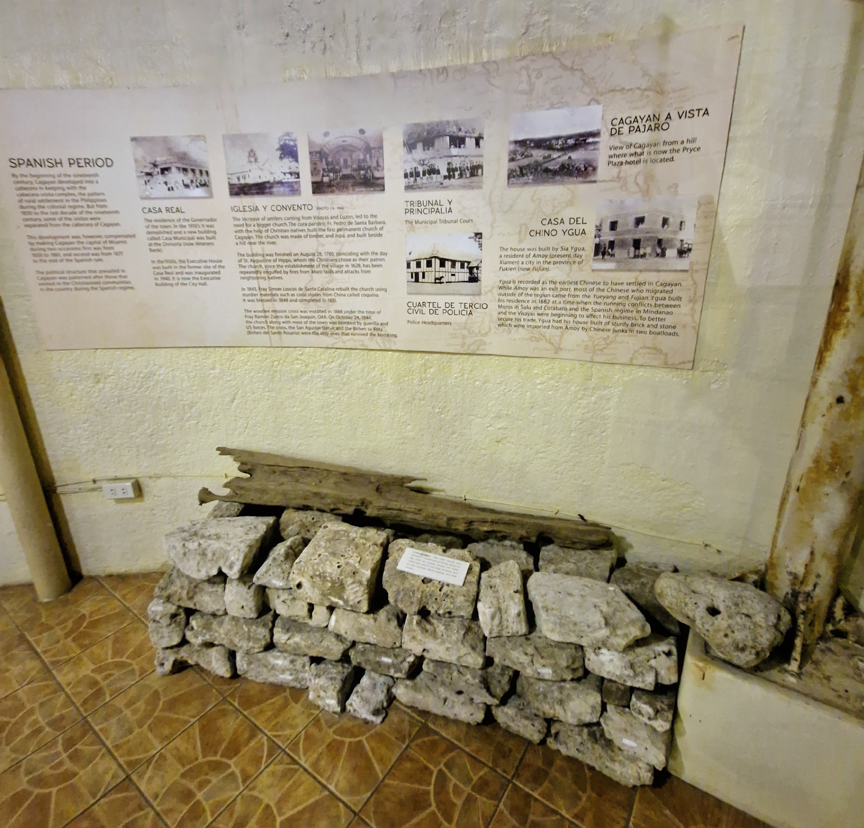
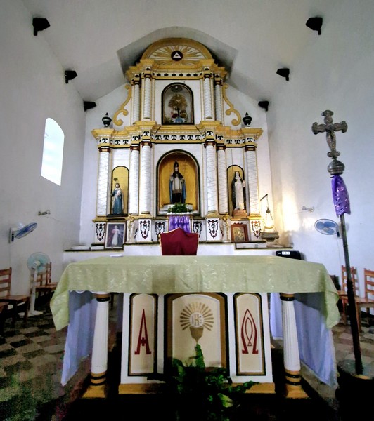
Exhibit on Spanish Period
Between 1994 to 2000, it was used as a temporary office of Barangay 1 and, in 2001, it was used as a makeshift darkroom by photographers from the Golden Friendship Photographers Association, Inc. (GoFPAI).
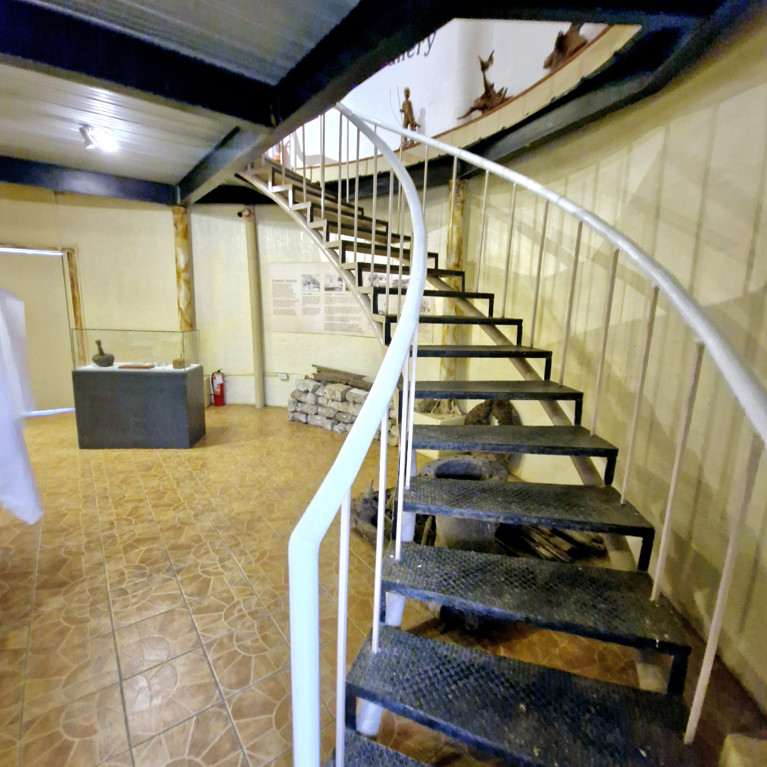
Spiral stairs leading to second floor
On December 1, 2008, then City Mayor Constantino Jarula had the tank renovated and turned into a city museum.
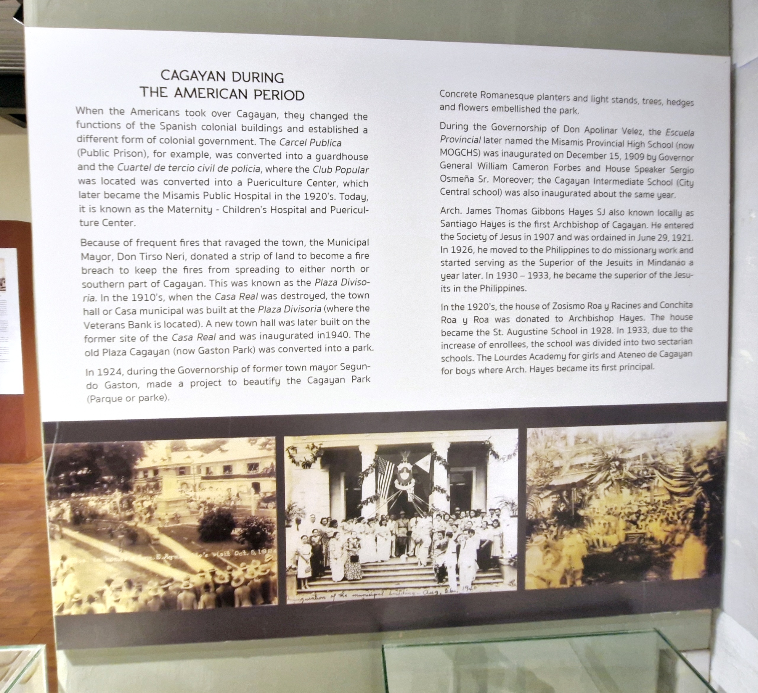
Exhibit on Cagayan de Oro during the American Period
The museum houses old photographs of the city’s significant events and personalities; fascinating exhibits that trace the city’s evolution, from its early indigenous roots to its contemporary developments; as well as a diverse collection of some archaeological finds.
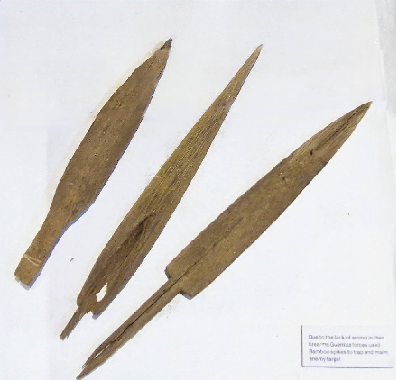
Bamboo spikes used by guerillas to trap and maim enemy targets
Its well-curated displays provide insights into the indigenous cultures, colonial influences, and the vibrant community life that defines Cagayan de Oro. The floors are accessed via spiral staircases.
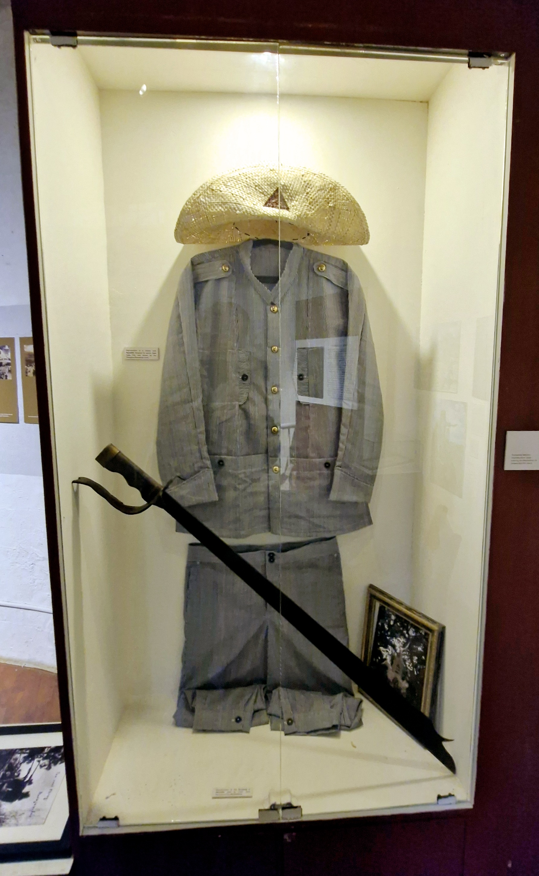
Rayadillo uniform and sword
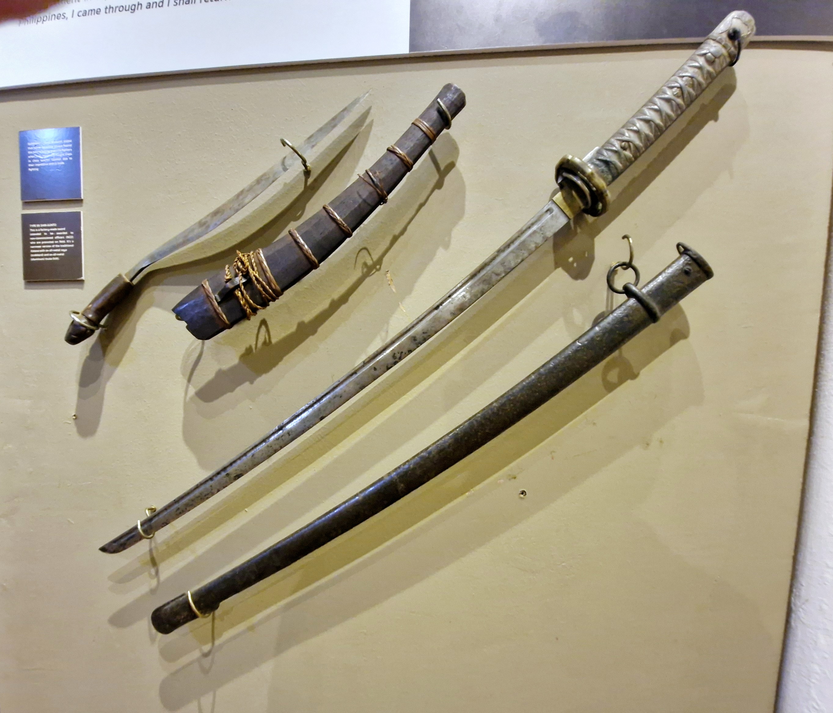
A Philippine bolo and a Japanese sword
At the Ramon and Rosario Chavez Gallery, at the first floor, JC first showed us the Higaunon Bancas0 (ritual table), a very important cultural artifact of the indigenous Higaunon community.
Third floor gallery
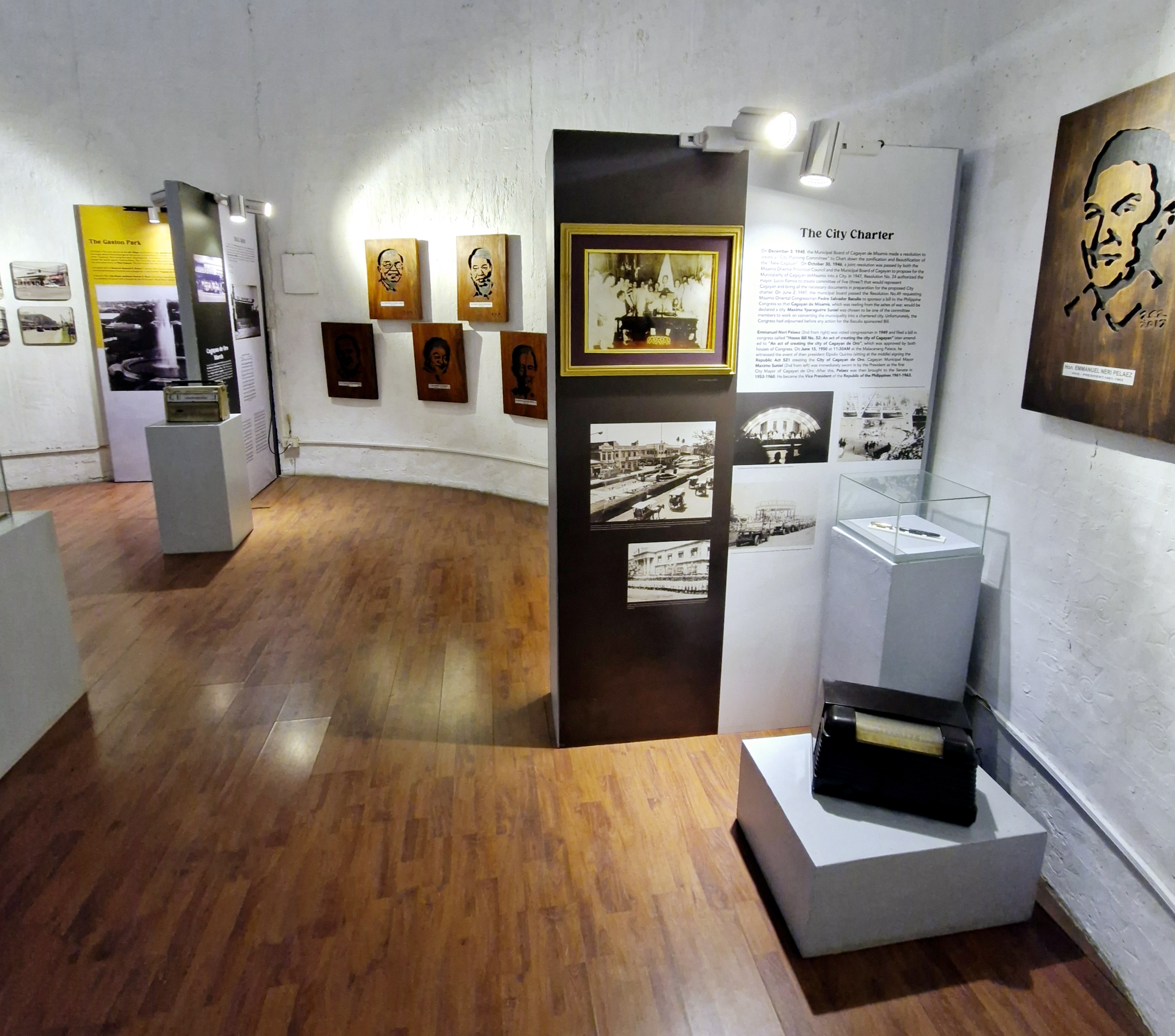
The Filomeno M. Bautista Gallery, at the second floor, showcases the history of the city during the Philippine-American War (notably the battle around 1900) and World War II.
Third floor gallery
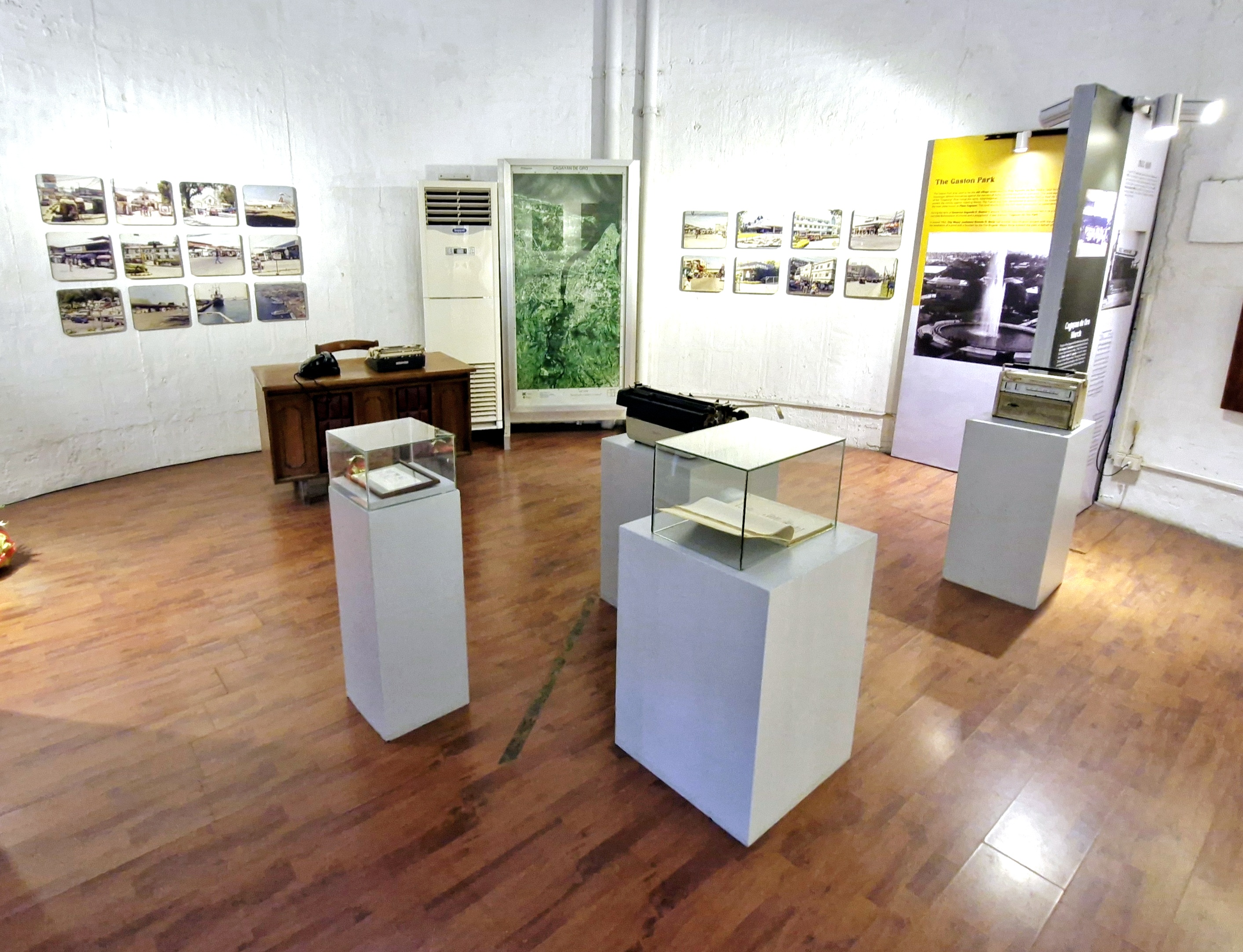
The third floor houses the museum’s newest exhibit (opened last November 21) which showcases the history and modernization of the city after World War II.
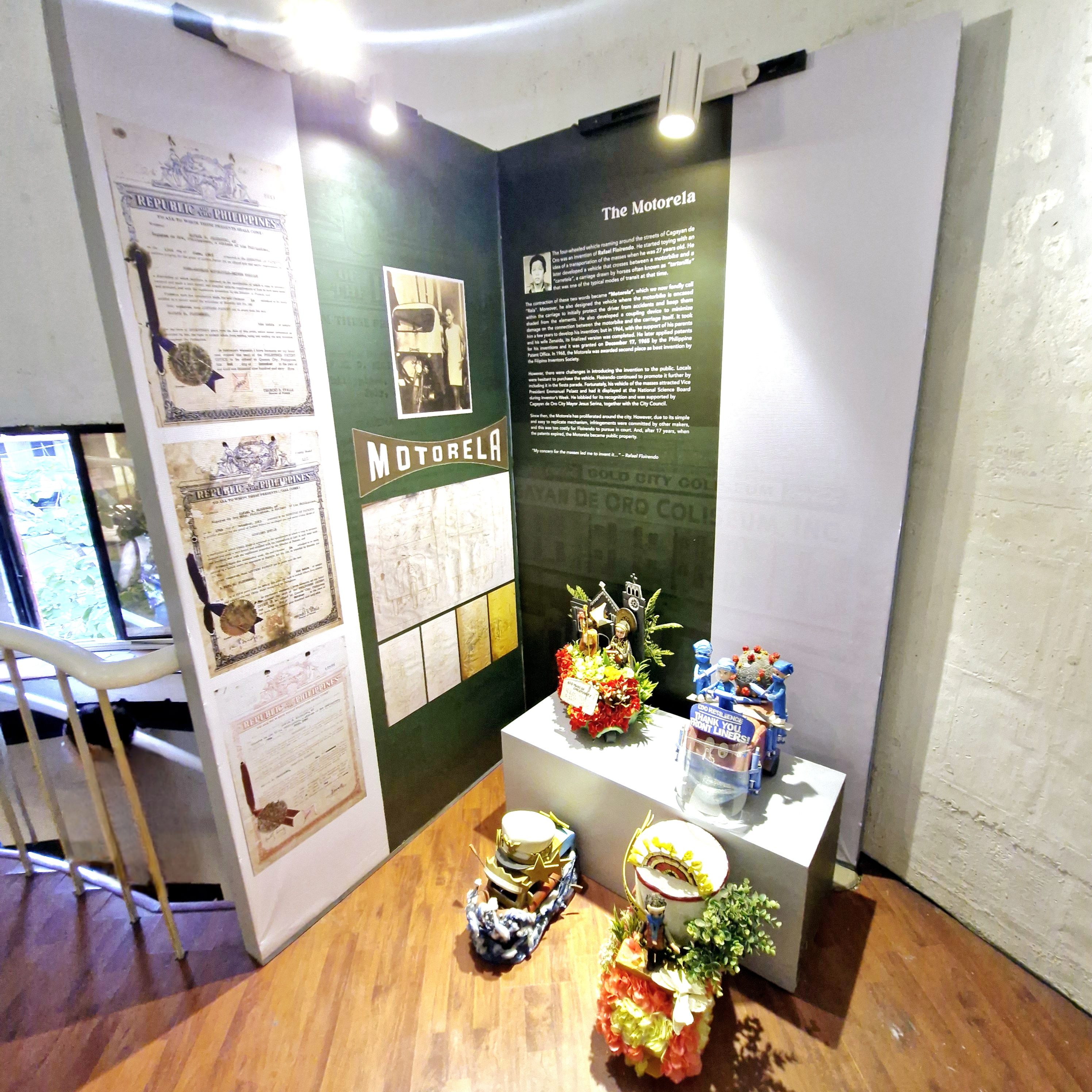
The motorela
A notable artifact here is the Parker 51 fountain pen used to sign Republic Act No. 521, the law that created the city.
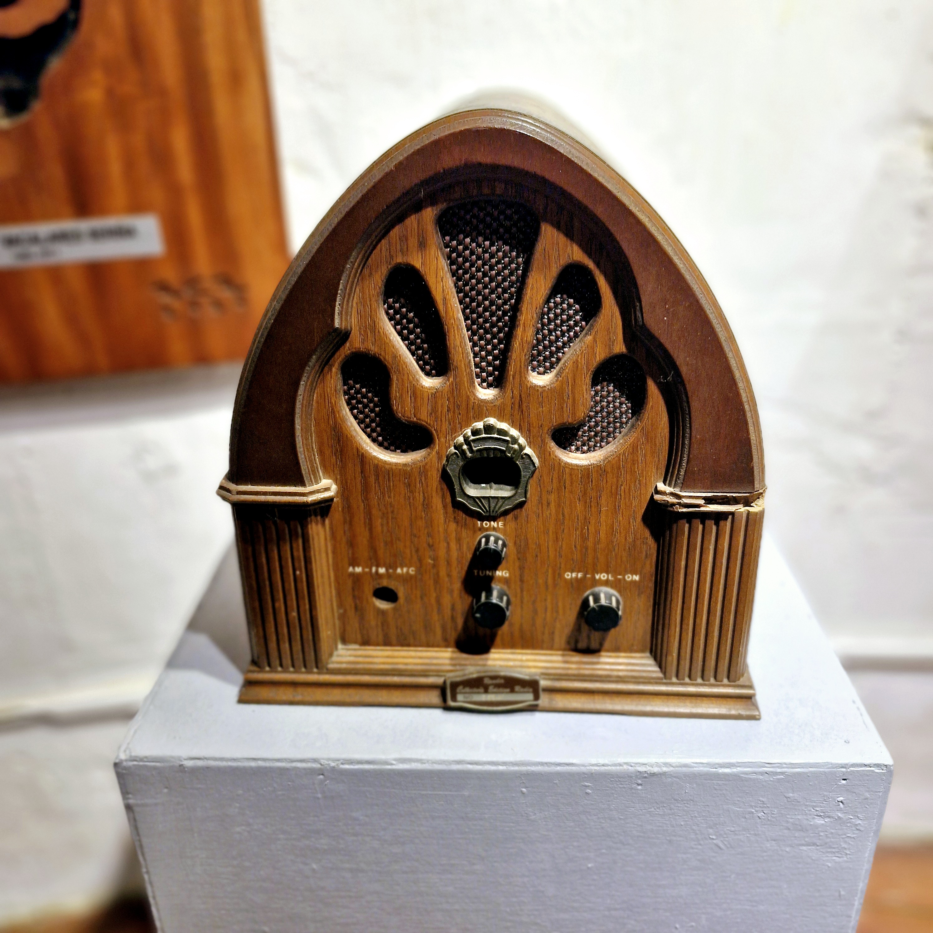
An antique radio
City Museum of Cagayan de Oro and Heritage Studies Center: Gaston Park, Fernandez St., Brgy.1, 9000 Cagayan de Oro City, Misamis Oriental. Mobile number: (0915) 881-0719. E-mail: hccc.cdo@gmail.com. Open Tuesdays to Sundays, 8 AM to 5 PM.