Meraki Garden
After a 10-hour trip all the way from Manila, we arrived at the beautiful and colorful Meraki Garden, one of the Isabela province’s newest attractions, where we were to have dinner.
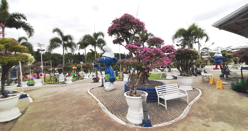
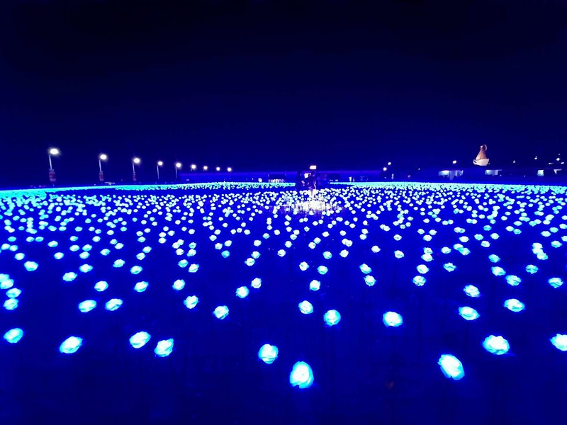
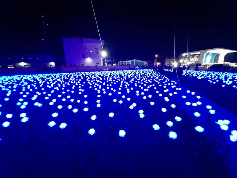
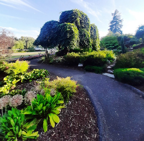
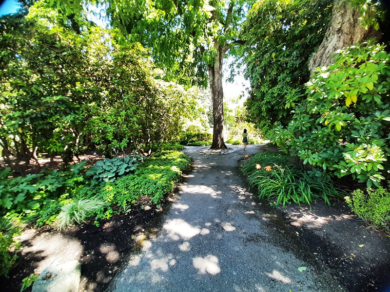
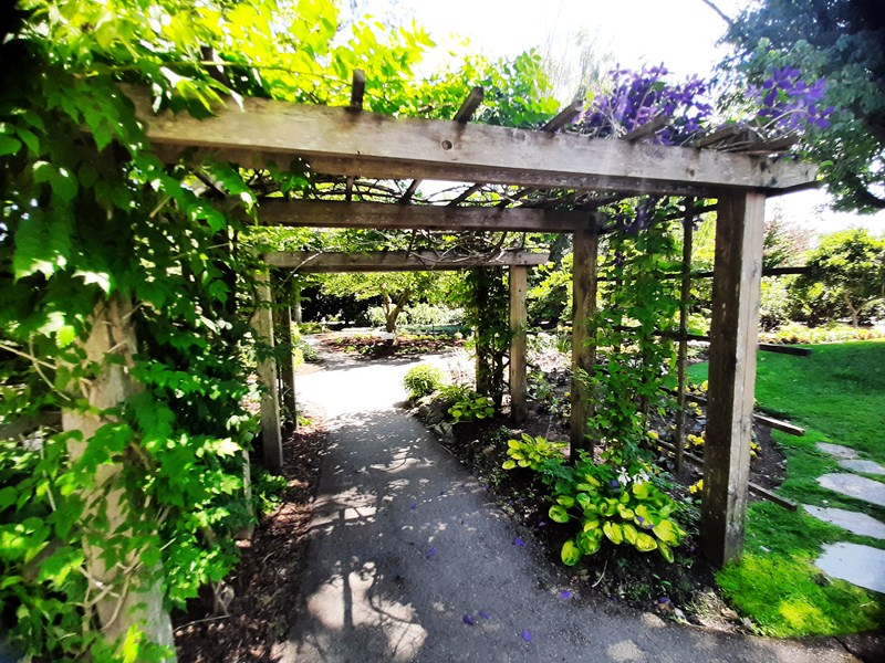
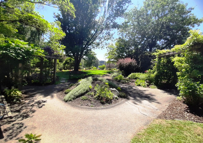
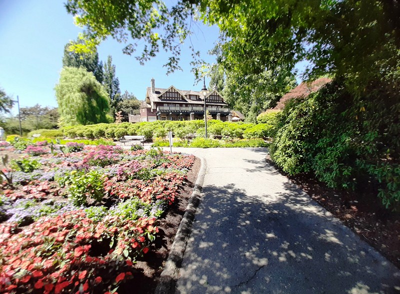
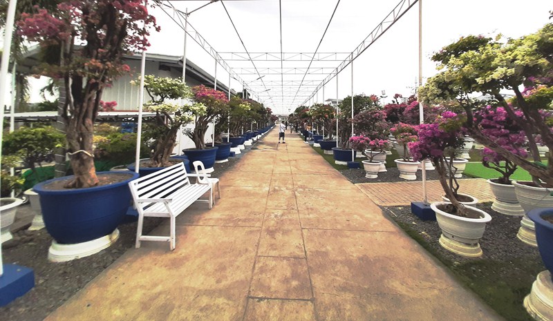
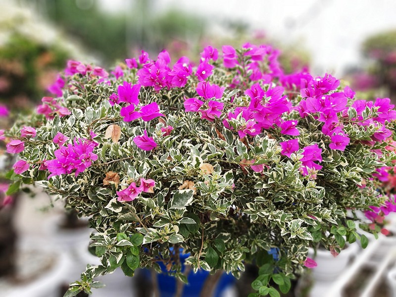
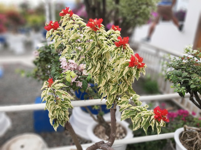
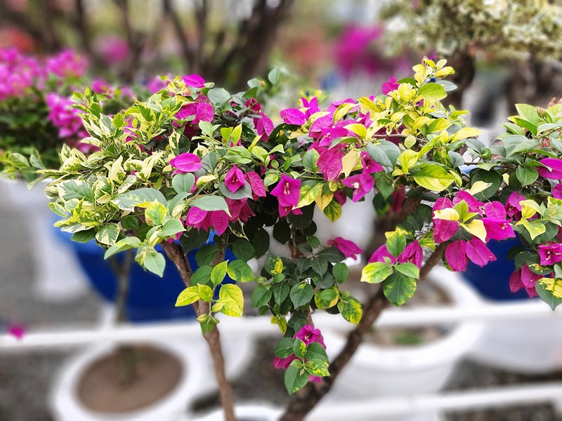
This 4.2-hectare botanical garden, in the town of Reina Mercedes, is home to over 3,000 beautiful and colorful varieties of bougainvilleas (some enormous) from all over the country.
Bougainvilleas are a genus of thorny ornamental vines, bushes, and trees belonging to the four o’ clock family, Nyctaginaceae
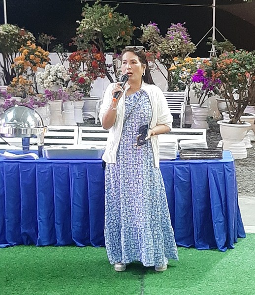
Ms. Lyn Marcaida
Owned by Ms. Lyn Marcaida, it was opened last September 28, 2021 during the height of the COVID-19 pandemic. During the lockdown, Ms. Lyn, who was stricken with the virus herself, got into planting and grafting bougainvilleas to while the time.
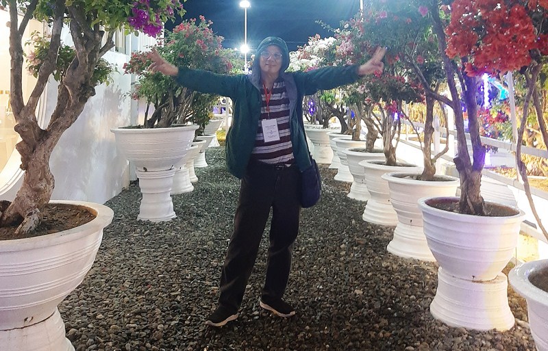
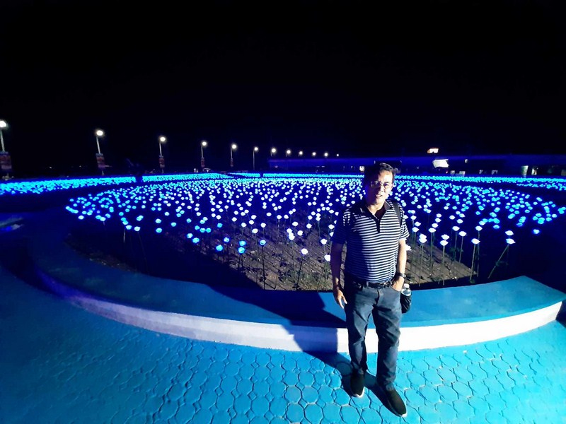
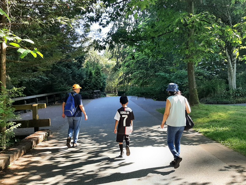
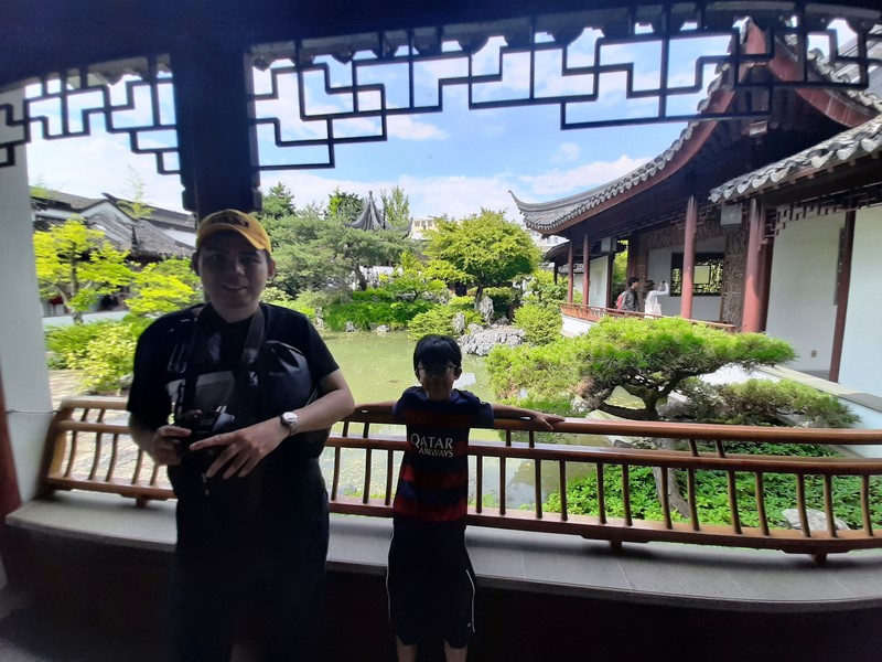
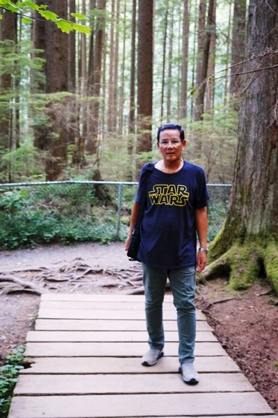
The author at Meraki Garden
Soon, her collection of well-groomed bougainvilleas, in colors of white, pink, orange violet and red, grew and she decided to open up her garden to the public.
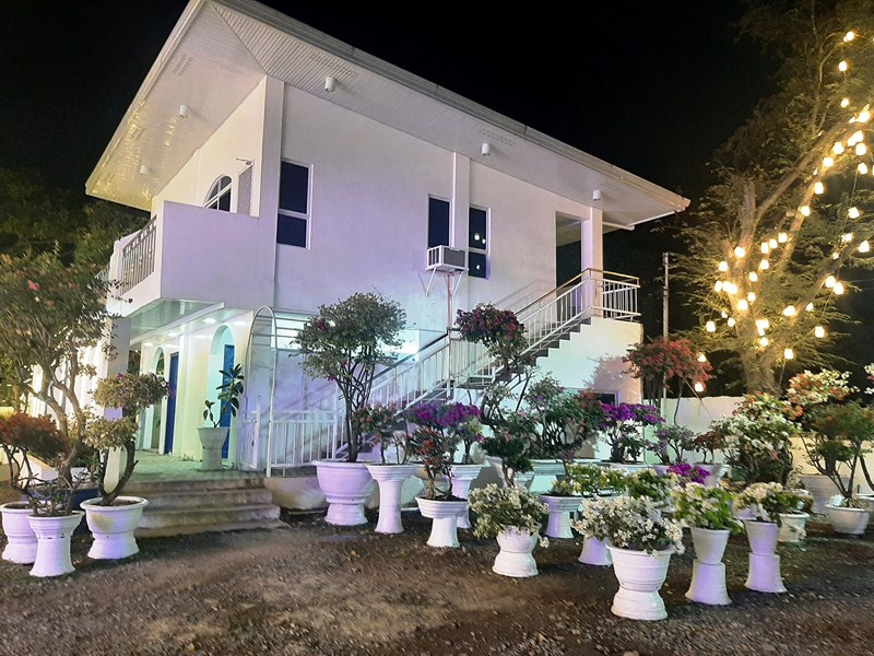
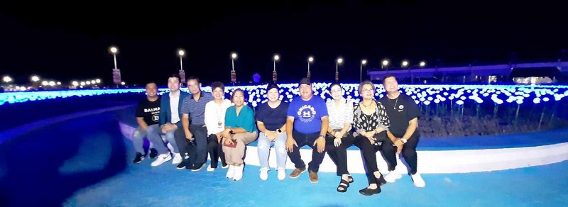
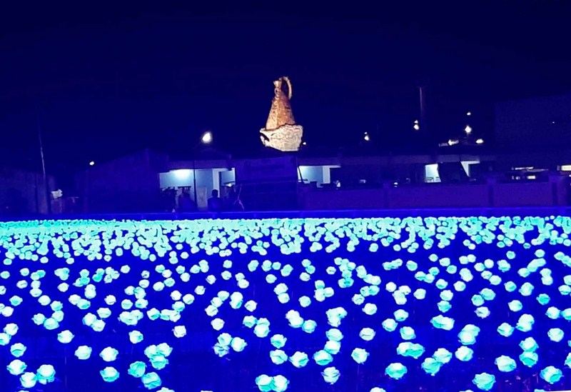
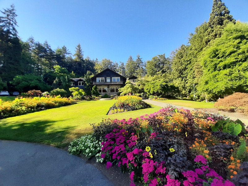
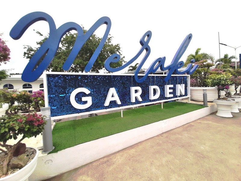
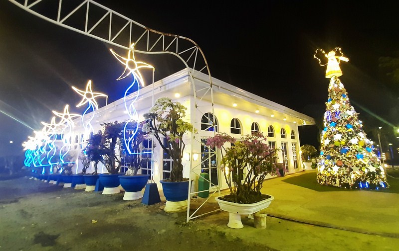
She chose to name the Greek-inspired place as Meraki, from the Greek word that literally means “to do tasks with soul, creativity and love.” Its signature color is blue and white which gives a Santorini-like feel. Going around the grounds, we found everything in the place to be Instagram-worthy.
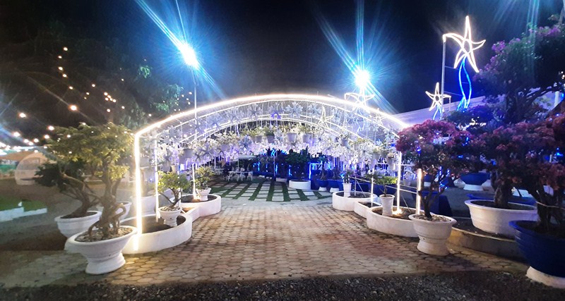
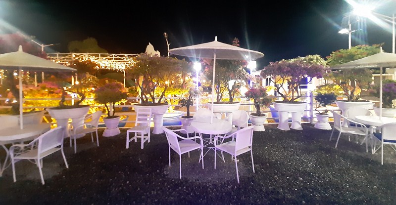
The Events Place
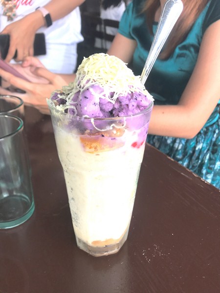
Aside from picture-taking, you can also enjoy the local bands that perform every weekday from 6 to 8 PM and magicians every weekend. Kids can enjoy the children’s playground, kiddie trampoline and train rides Meraki Garden offers, and once they go hungry, they can grab a bite (pizza, coffee, etc.) at the Taverna Café near the garden.
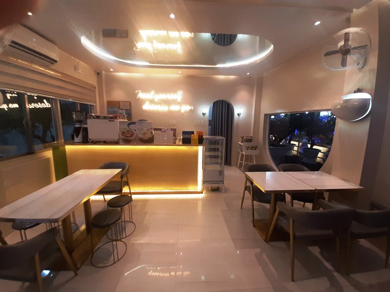
Taverna Cafe
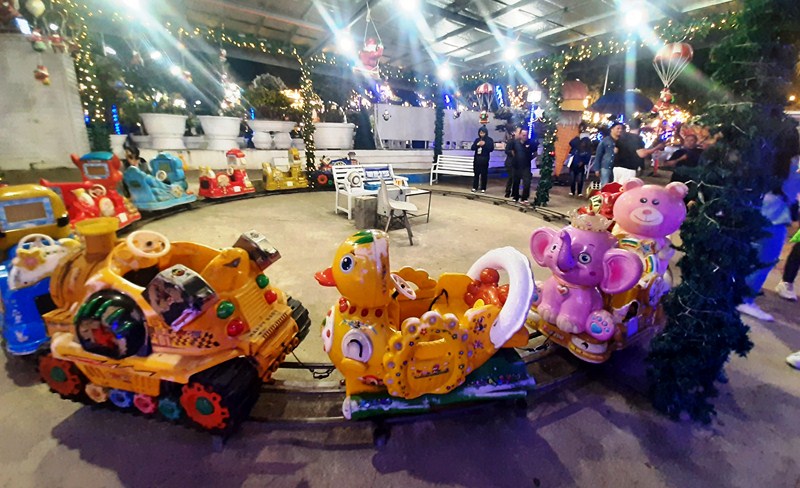
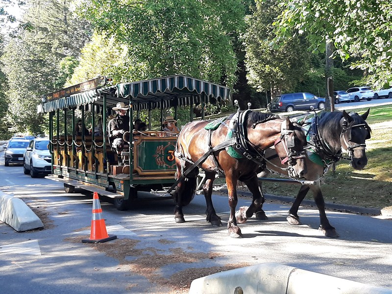
Train Ride
Meraki also has an events center (seating up to 150 guests, banquet style) and a swimming pool is planned in the future. The garden also has a wide range of products for both households and gardens. Truly, this pandemic hobby-turned botanical paradise, dedicated to bougainvilleas, is a piece of heaven on earth.
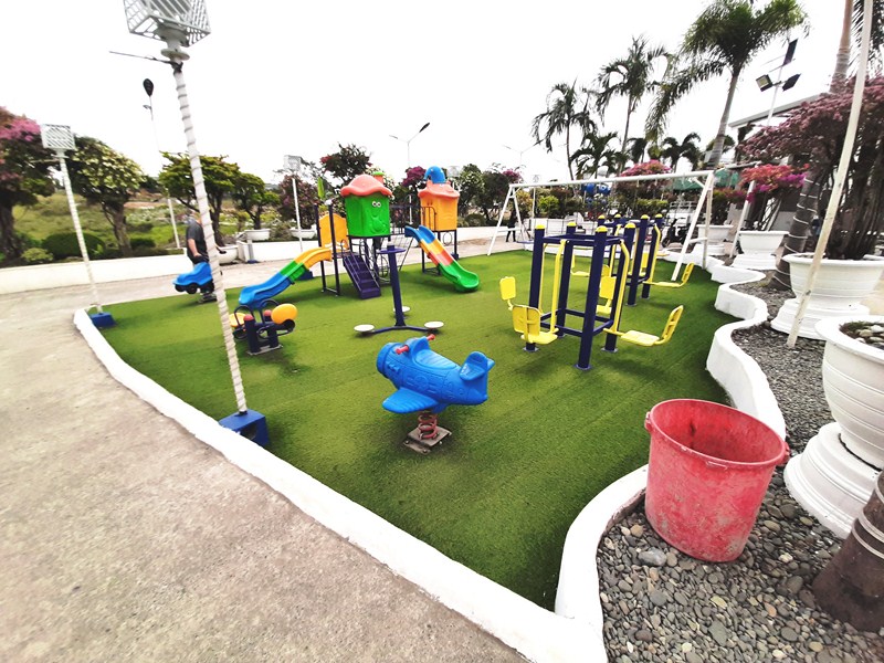
Children’s Playground
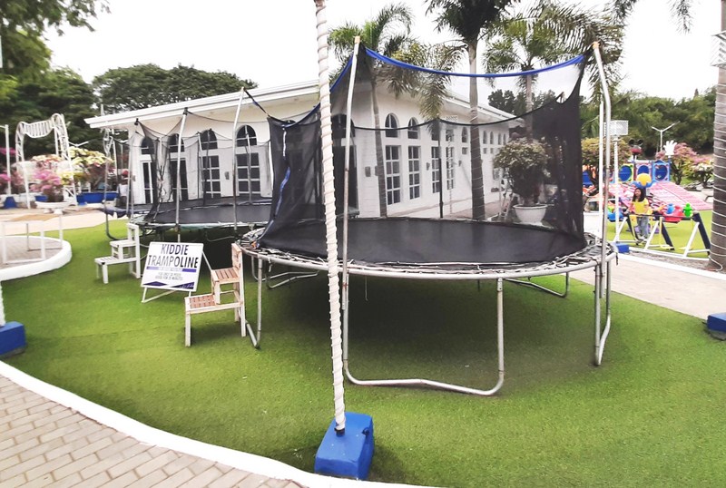
Kiddie Trampoline
Meraki Garden: Brgy. Napaaccu Pequeno, Reina Mercedes 3305, Isabela. Open daily, 6:30 AM to 10 PM. Mobile numbers: (0917) 512-7355 (Ms. Lyn Marcaida) and (0927) 708-3571 (Mr. Dimple Barcarse Aquino). Admission: Php50.
Isabela Provincial Tourism Office: Provincial Capitol Complex, City of Ilagan, Isabela. Tel: (078) 323-3146. Mobile number: (0917) 317-3820. E-mail: isabelatourismoffice@gmail.com.
Isabela Provincial Information Office: Provincial Capitol Complex, City of Ilagan, Isabela. Tel: (078) 323-0248. Mobile number: (0927) 395-7555. E-mail: letters_info@yahoo.com.
How to Get There: Reina Mercedes is located 407 kms. (a 9-hour drive) from Manila, 14.8 kms. (a 30-min. drive) from Cauayan City and 23.9 kms. (a 35-min. drive) from the City of Ilagan. Meraki Garden is located along the highway.