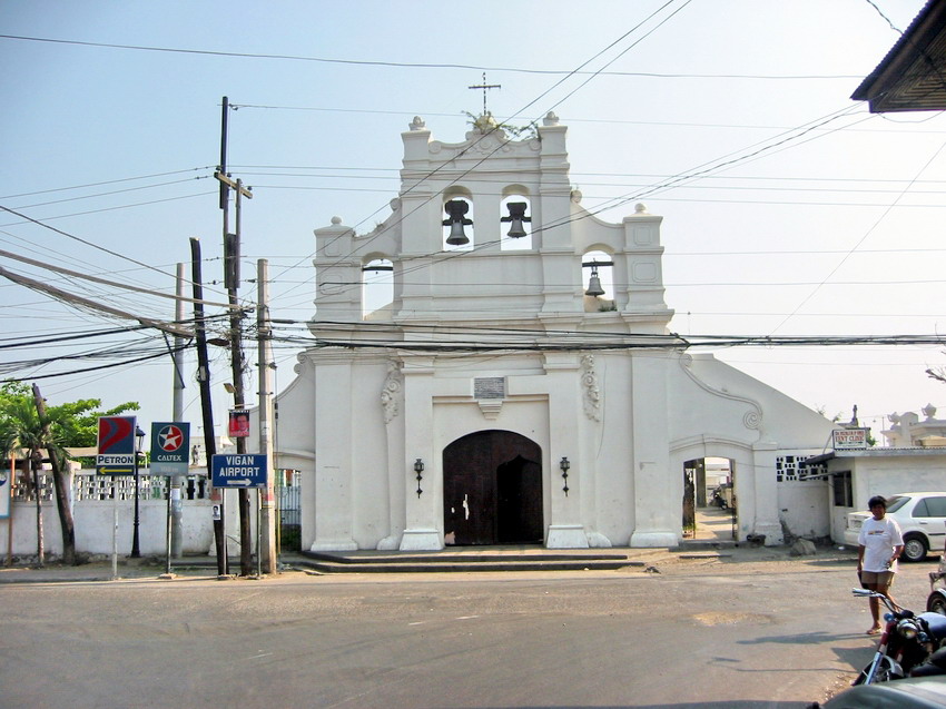
Revisiting Fort Santiago (Manila)

After our lunch at Toho Restaurant in Chinatown, Grace, Jandy, Cheska, Dad, Mom and I drove to Intramuros and parked the car at Fort Santiagojust across the Manila Cathedral.  Being a weekend, there was a steady stream of visitors, including foreigners, all strolling leisurely. With Jandy, I planned to revisit the fort, our last visit being  way back March 1, 1993 when Jandy was just 6 years old.   

Upon entry, we were ushered into the well-kept Plaza Moriones, a public promenade that was fenced off by the Spanish military in 1864.   It now has beautiful landscaping, a flagpole and a fountain. To the right is the Almacenes Reales (Royal Warehouses) where goods brought in by the galleons were stored.  We passed by the Administrative Office, a refreshment kiosk and the picnic area (at its back is the archaeological excavation of the Artilleria de Maestranza, the foundry which cast cannons and ammunition during Spanish times) before reaching the moat and, across it, the fort’s main gate. 
       
The original gate was built in 1714, destroyed during the American liberation and was restored in 1983.  Its stone carvings were done by Zacarias Salonga.  Above the gate is a wooden equestrian relief carving of St. James (Santiago Matamoro, after whom the fort was named) slaying the Moors done by Wilfredo Layug (a distant relative?). Guarding its flanks are Baluarte de San Miguel (Manila Bay side) on the left and the Medio Baluarte de San Francisco (Pasig River side) on the right.
      
Immediately upon entry is Plaza Armas, the fort’s main square and probable site of the palisaded fort of Rajah Sulayman.  On its left are the ruins of the Spanish Barracks and the Rizal Shrine and on its right is the renowned Dulaang Rajah Sulayman, an outdoor theater built on the site of the old barracks.  It has a 3-dimensional stage built amidst the fort’s adobe walls.  Next to the theater is the Postigo de la Nuestra Senora del Soledad (Postern of Our Lady of Solitude) used as a passage to the Pasig River.
    
Fronting Plaza Armas, on the right, is the Casa del Castellano, site of the fort commander’s residence and now occupied by a terraced garden.  Below it is a dungeon/cellar where food supplies were kept.  On the left, is the Baluarte de Sta. Barbara, strategically located to overlook both the Pasig River and Manila Bay.  Started as a wooden platform in 1593, storage vaults and the bombproof powder magazine where added in 1599.

       
Almost destroyed in the fighting of 1945, Sta. Barbara has since been landscaped and now contains a memorial park known as the Shrine of Freedom. Its Memorial Cross marks the common grave of 600 World War II victims found there.   On its Pasig River side are the Falsabragas de Sta. Barbara and Media Naranja, 2 false walls which protected the main bulwark when heavily bombarded from the river.
On our way out we noticed the brass shoeprints (many of them now missing) installed during the 1998 centennial to trace the path of National Hero Jose Rizal when he walked from his cell to Bagumbayan for his execution (7:03 A.M., December 30).  After exiting the fort’s gate, it was back to Plaza Moriones and some more time travel.  Past the Wall of Martyrs, the American Barracks Ruins and the picnic grounds is the Baluartillo de San Francisco Javier. Built by Gov.-Gen. Sabiniano Manrique de Lara, it protected the old postern gate when the first Governor’s Palace was located inside the fort until 1654. It kept military supplies.  Its Reducto de San Francisco Javier, added in 1773, now houses the Shrine of Nuestra Senora de Guadalupe.
       
Restored in 1985, the Baluartillo’s 10 chambers now house the Intramuros Visitors Center (IVC).  It consists of an information center, a photo gallery exhibiting the Walled City’s past and present, an audio-visual chamber (where “The Sanctuary of the Filipino Spirit”, an 18-min. video-documentary on Intramuros, is shown), a restaurant/coffee shop and souvenir shops.

The Twin Wishing Wells of Sta. Lucia (Taal, Batangas)

Later, Jandy and I proceeded to to the back of the Chapel of the Virgin of Caysasay where we ascended the 5-m. wide Chinese granite (“piedra china”) stairway called Hagdan-Hagdan.  This stairway was built in 1850 by Fr. Celestino Mayordomo to replace the original adobe stairs.  

Hagdan-Hagdan

After the first flight, we crossed over the railing and proceeded down a well-defined dirt path to the Twin Wishing Wells of Sta. Lucia.   This is the spot where the 2 Marias found the image.  It has a Chinese-inspired (supposedly erected by ethnic Chinese) coralstone arch with a bas-relief of the Virgin of Caysasay.

Twin Wishing Wells of Sta. Lucia

Underneath are two wells, the waters of which are reputed to have miraculous healing and therapeutic powers.  Devotees usually pray at the grotto to the Virgin at the back, wish and light candles and then take baths at the wells.  The waters of the left well, said to cure head injuries, is for the initial bath and the waters of the second well, for healing the body, is for “rinsing.”  Returning back to Hagdan-Hagdan, we reached the San Lorenzo Ruiz Arch, renamed after the first Filipino saint, after 125 steps and 3 flights.

Southern Luzon’s Heritage Village (Taal, Batangas)

Jandy and I checked out of Villalobos Lodge in Lemery by 6 AM, had an early breakfast at the town  and drove beyond the small bridge (Lemery’s boundary with Taal) over the Pansipit River to Taal’s poblacion (town center)  which was zoned and patterned by Spanish architects after the town of Albuquerque in Spain.

Taal Park

Our first stop was the town’s stately municipal hall, the former Spanish-era Casa Real.  It was built from 1846 to 1850 by Augustinian Fr. Celestino Mayordomo.  Directly in front is the wide, landscaped Taal Park with its mercury lights and statues of Jose Rizal (installed by Banaag Nang Tagumpay), Apolinario Mabini (installed by the Malvarian Society on December 1928), A Los Heroes Nacional (installed by La Sociedad La Patria on May 20, 1929) and the newer one of Marcela Agoncillo (installed January 20, 1979).  This central area was restored in 1976 during the administration of Mayor Corazon A. Caniza.

Taal Municipal Hall (Casa Real)

To the left of the basilica is the former Escuela Pia, now Taal’s Cultural Center.  It was built by Fr. Aniceto Aparicio in 1885 and was restored by the Taal Arts and Culture Movement in cooperation with the National Historical Institute.  It was made into a National Historical Monument by virtue of Presidential Decree No. 260 (August 1, 1973), Executive Order No. 375 (January 14, 1974) and Executive Order No. 1505 (June 11, 1978)

Taal Cultural Center (Escuela Pia)

Fort San Pedro (Cebu City, Cebu)

After our visit to Basilica Minore del Sto. Nino and Magellan’s Cross, Grace and I returned to our van.  We were next transported to Fort San Pedro, the oldest fort in the country.  Started on May 8, 1565, this 2,025-sq. m. triangular Spanish fort, situated between the port and Plaza Independencia, was named after Legaspi’s flagship.  The current structure, completed in 1738, has 3 bastions: San Miguel, San Ignacio de Loyola and La Concepcion with stone walls 2.5 m. thick and 6 m. high and towers 10 m. high.  The fort’s original buildings include the Cuerpo de Guardia (troop’s quarters), the largest building and the Viviendo del Teniente (living quarters of the fort’s lieutenant).

Fort San Pedro     
The fort, under the care and administration of the Philippine Tourism Authority, was also an American military barrack, (Warwick Barracks), a schoolhouse during the Commonwealth period, a Japanese POW camp during World War II, a hospital during the liberation, a Philippine Army camp in 1946 and a Lamplighter (a religious sect) mini-zoo in 1957. The fort, including its towers and roof observatory, was restored in 1968 and its inner court (turned into a miniature garden by the Cebu Garden Club after 1950) now has an open-air theater, a cafe in a walled garden and a museum.
 
Fort San Pedro: Plaza Independencia, Gen. D. MacArthur Blvd., Cebu City 6000, Cebu.