Subic Pink Sand Beach
Part of Sorsogon Countryside Tour
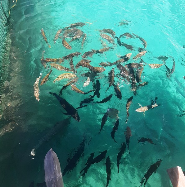
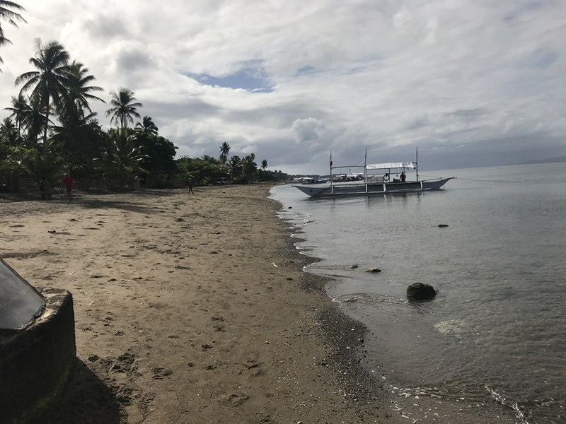
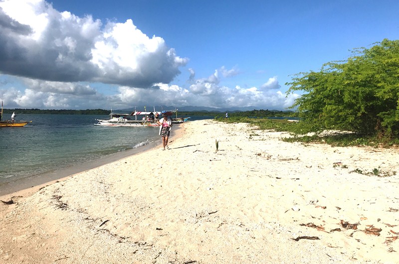
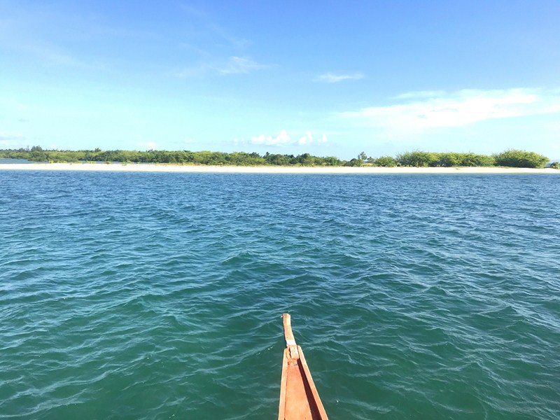
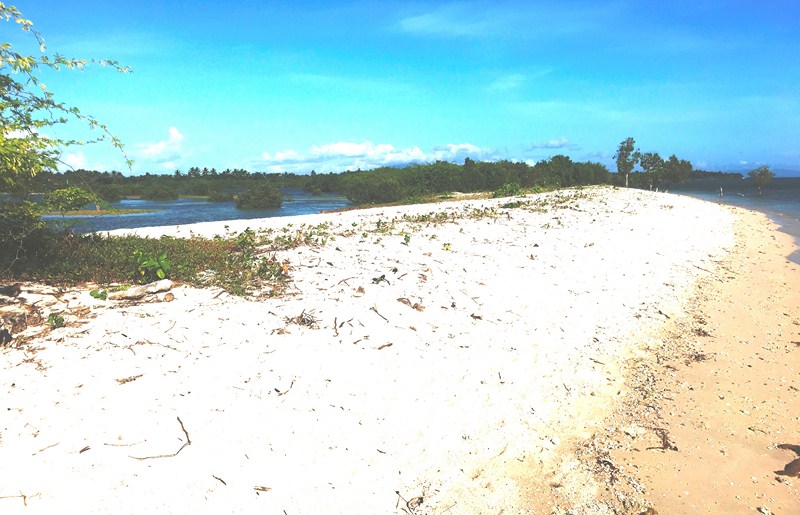
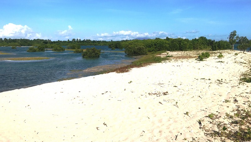
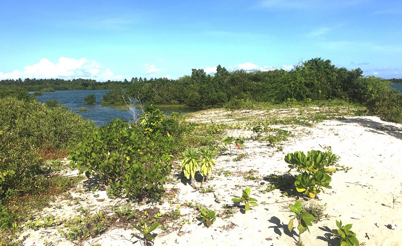
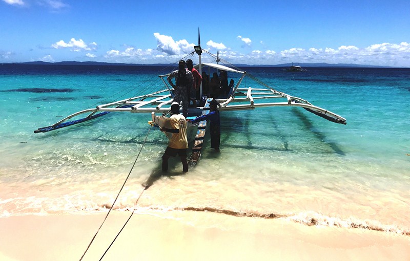
After our enjoyable tour of Juag Lagoon Fish Sanctuary on Juag Island, we again boarded or boat for the short 20-min. ride to Calintaan Island. On this island is pristine Subic Beach (locally called “La Playa Rosa”), one of two places in Sorsogon (the other is Tikling Island) with sand that has a pinkish hue. This is due to a combination of creamy white sand with crushed organ pipe coral (Tubipora musica).
Check out “Juag Lagoon Fish Santuary“
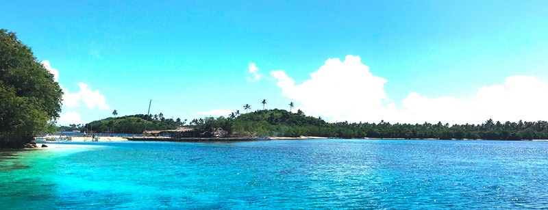
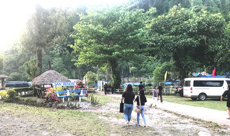
Calintaan Island
There are actually two adjacent Subic beaches – the quieter and less developed Subic Liit (Little Subic) and a longer stretch called Subic Laki or Subic Dako (Big Subic), both separated by a short stretch of land.
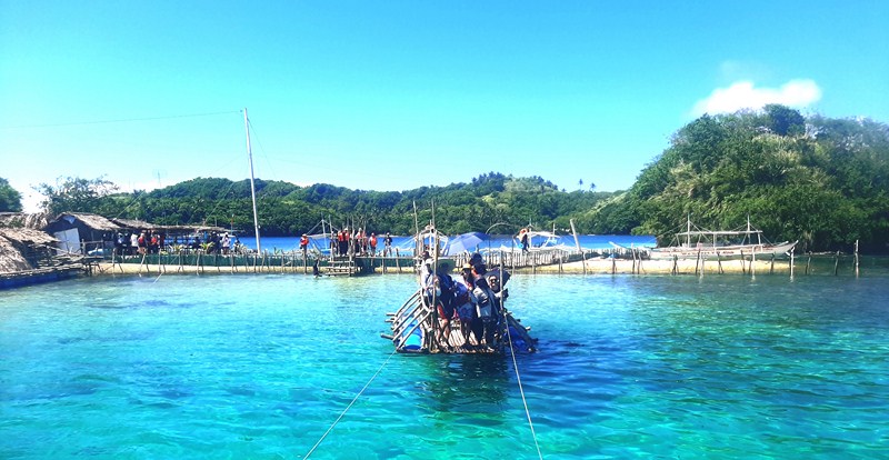
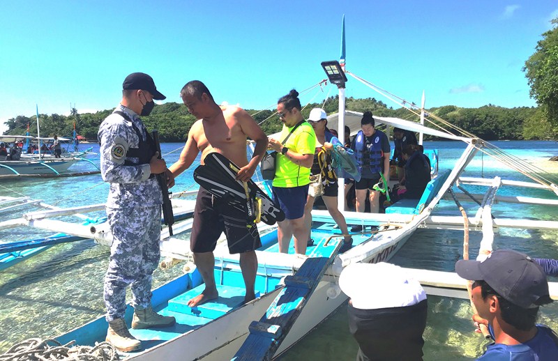
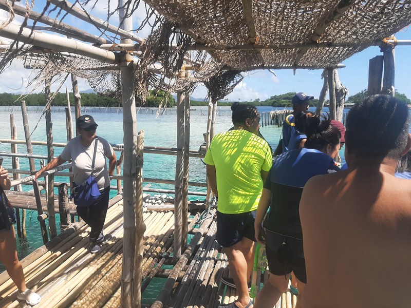
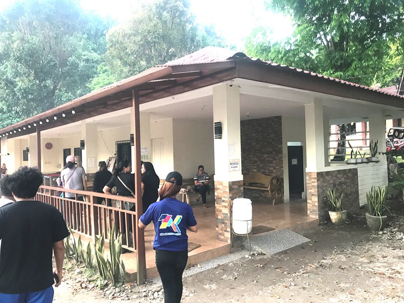
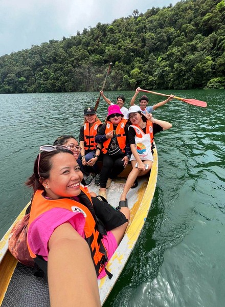
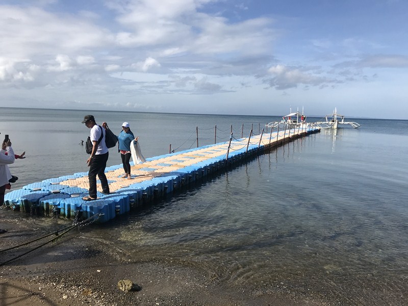
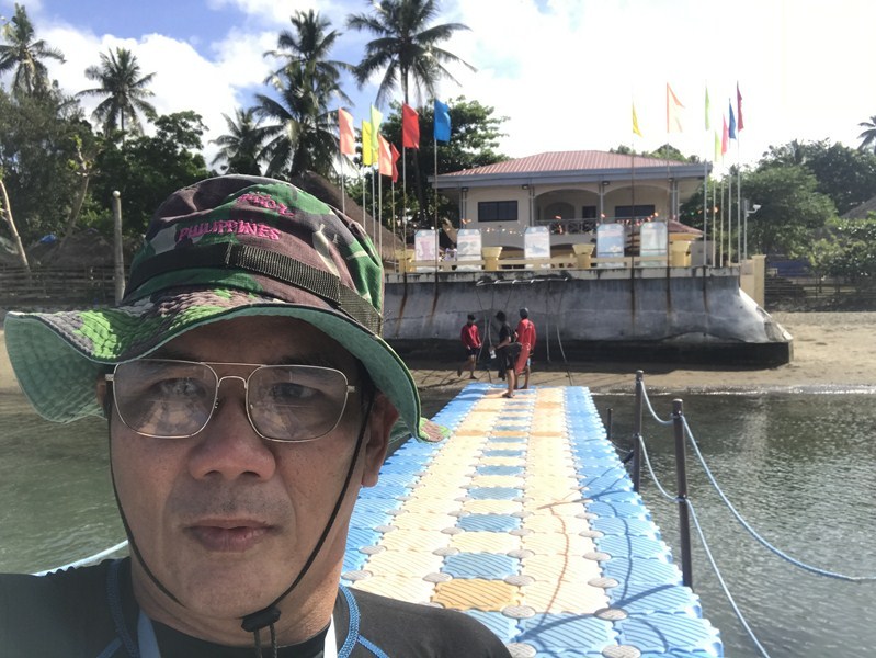
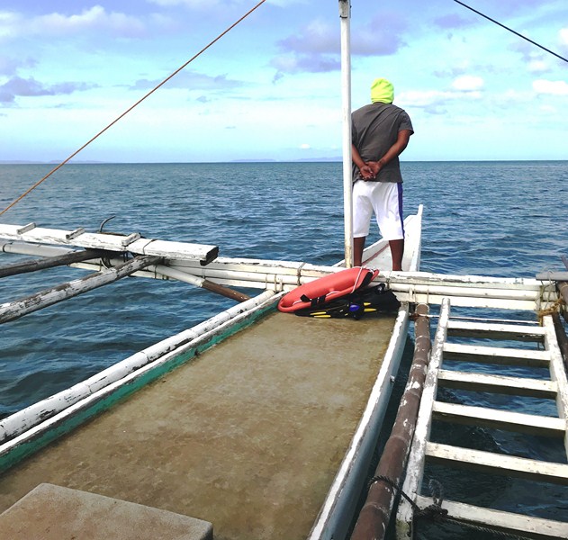
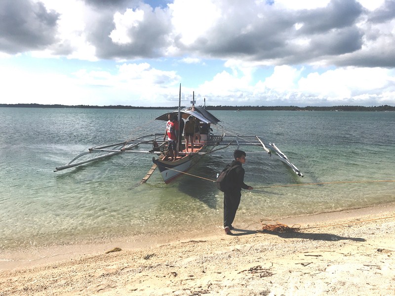
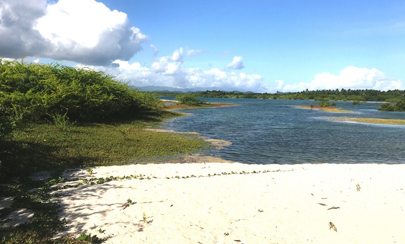
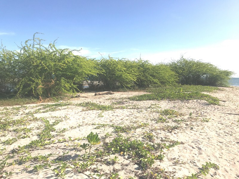
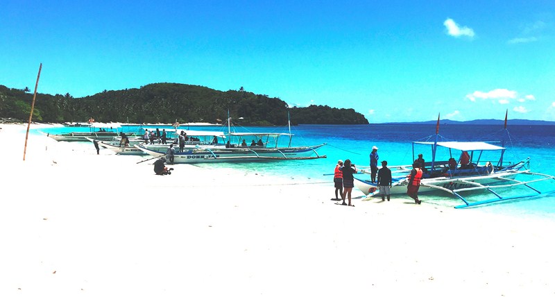
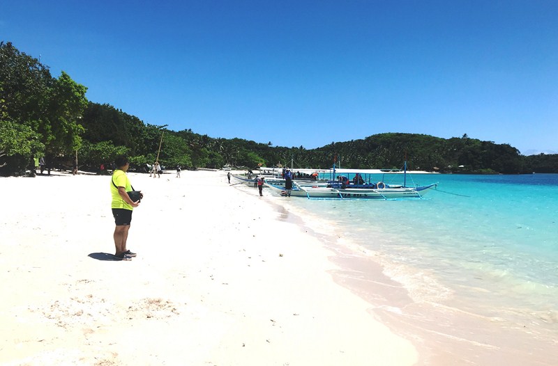
Landfall at Subic Dako Beach
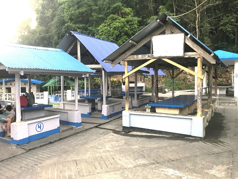
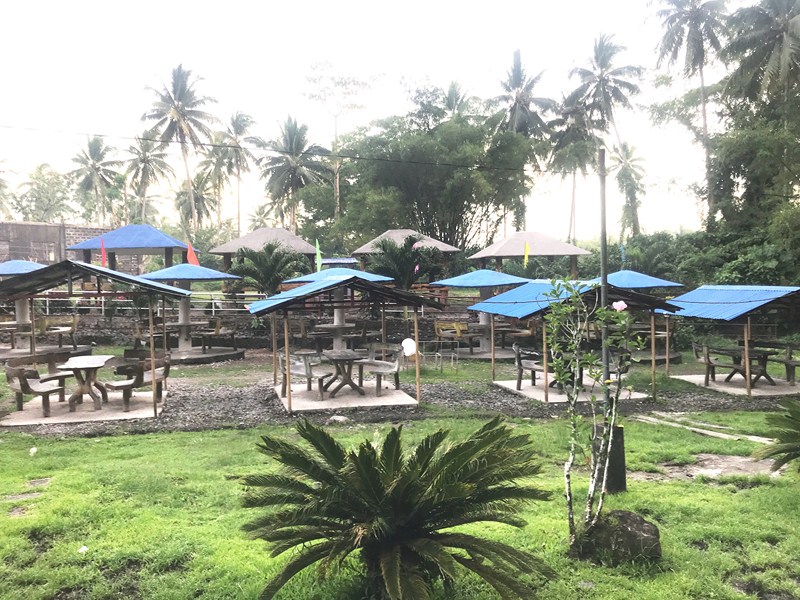
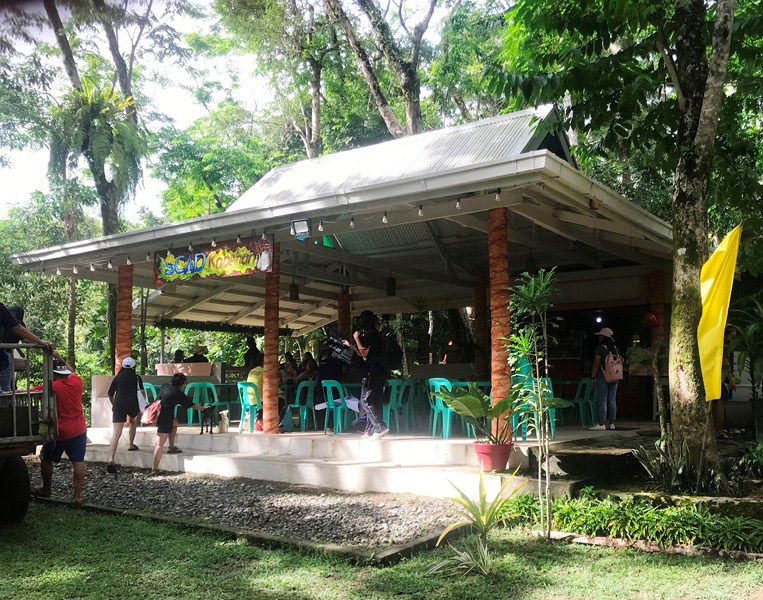
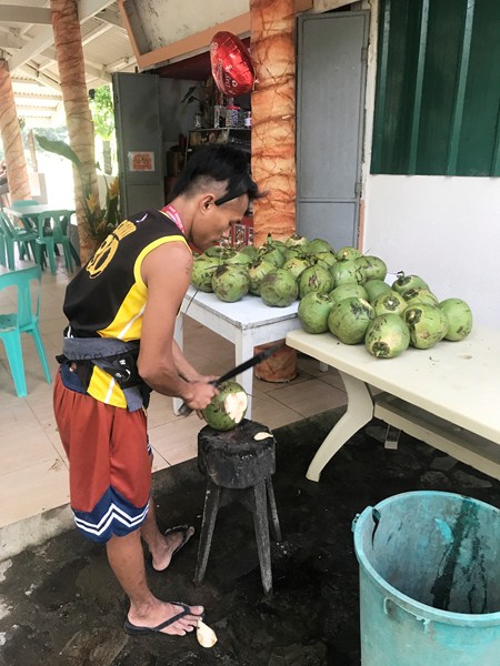
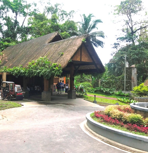
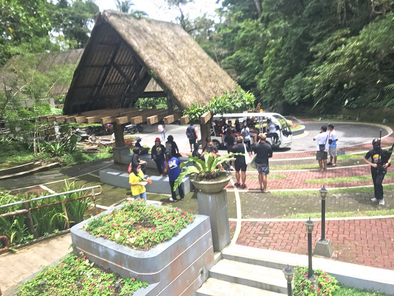
We landed at the latter, the more popular of the two due to the presence of basic amenities that allow visitors to rent native-style nipa huts with anahaw roofing for day use (Php400), pitch tents and cook their own food.There are also sari-sari stores and grilling stations. Potable water is also available.
There are also two or three resorts (the best is Holy Trinity Beach Resort which has airconditioned rooms and a swimming pool) for overnight stays, . Calintaan Island has electricity thanks to a wired connection with Matnog town in the mainland.
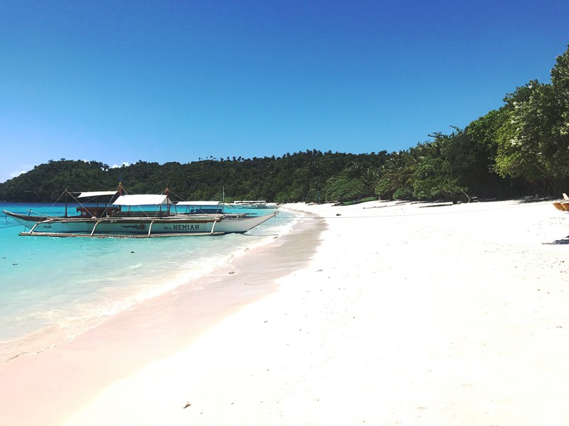
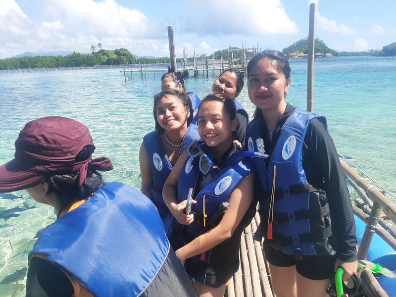
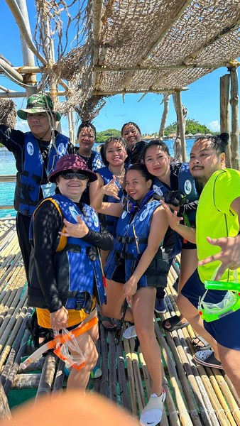
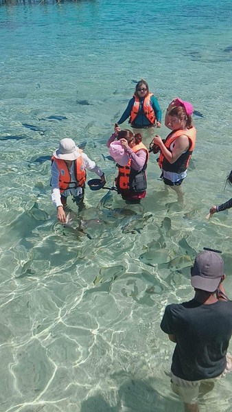
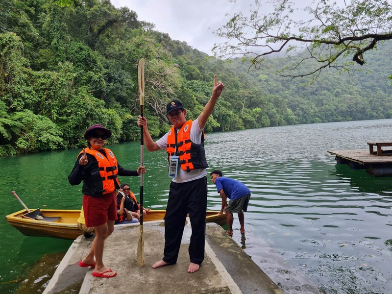
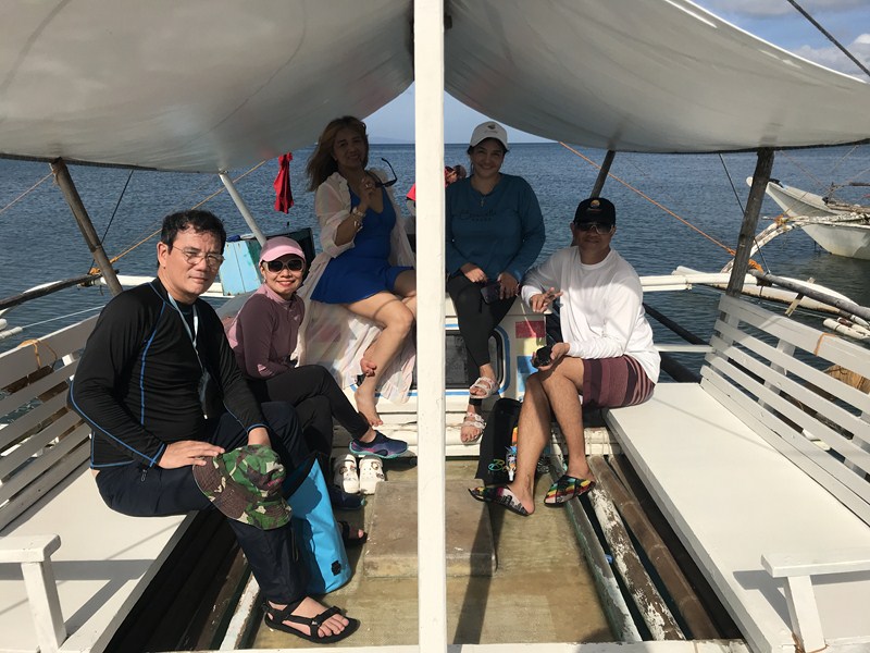
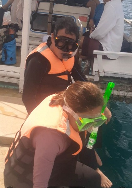
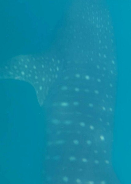
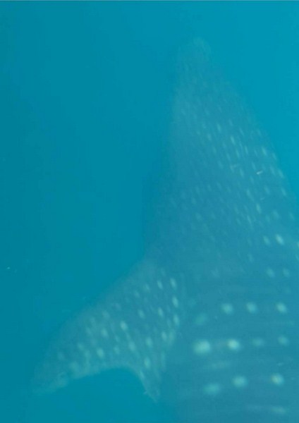
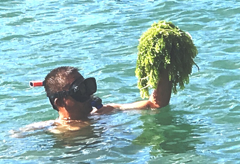
We stayed at this so-called “Boracay of Matnog” for about 45 mins., swimming its calm and crystal-clear waters or just taking pictures as we enjoyed its beauty. You can also snorkel here (bring your own snorkeling gear).
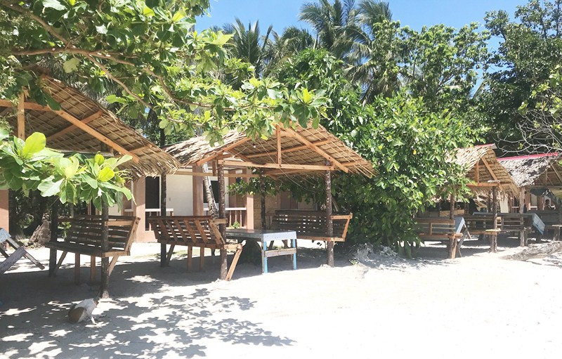
Picnic huts
Too bad we didn’t have time to explore the hidden lagoon at the back of the beach and the old lighthouse (parola). Despite recent developments on this beach, it still retains its pristine charm and it is my hope that it would remain that way in the future. Truly, it was a picture-perfect example of a tropical island paradise.
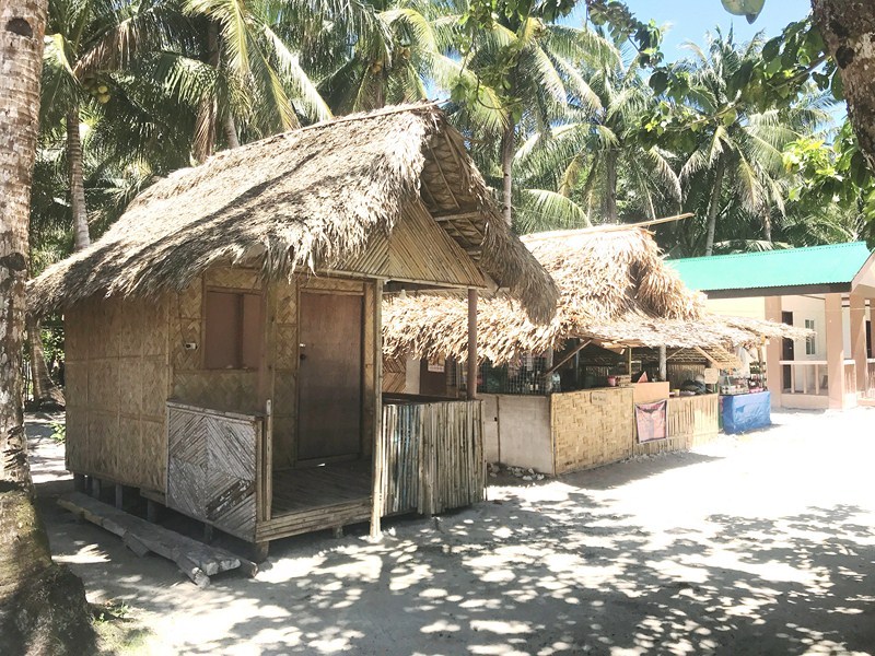
Rustic accommodations
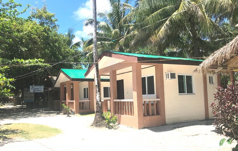
More modern, airconditioned accommodations
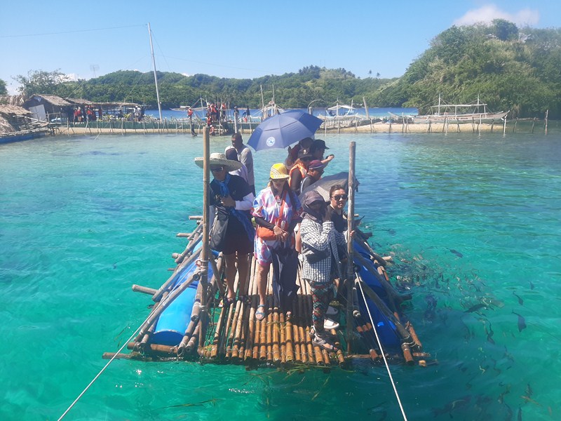
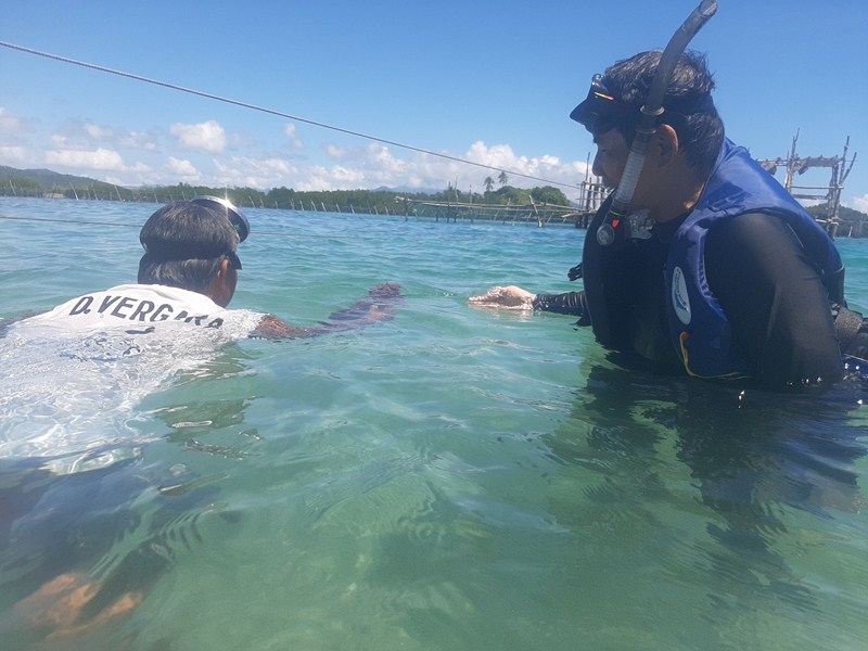
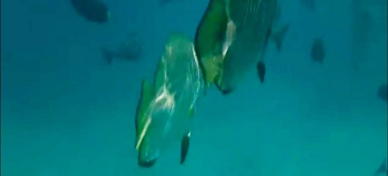
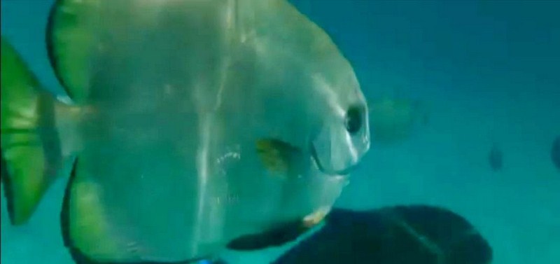
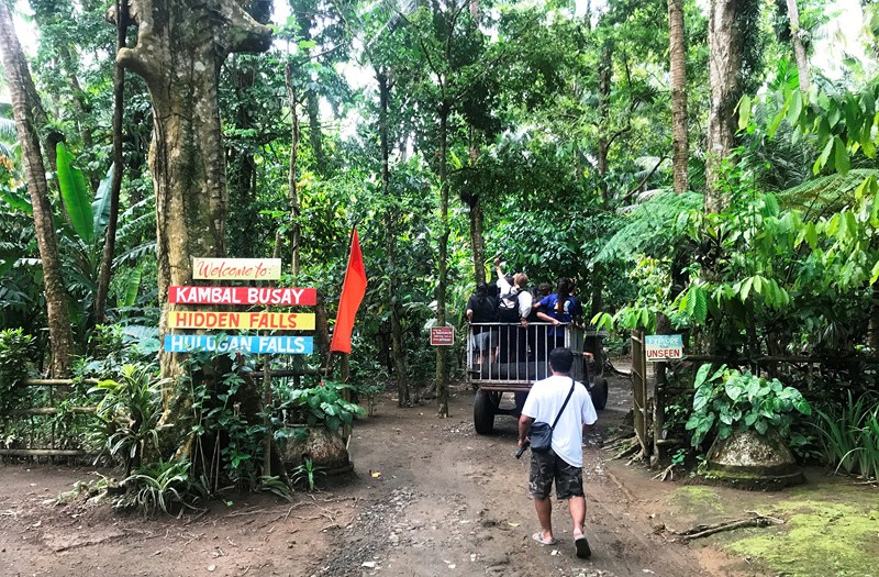
Back at our boats, we proceeded to Murong Burongan Island where we were to have lunch. About 10 mins. into our trip, we passed by Calintaan Cave, a small cave opening into a one-of-a-kind cove, amidst cliffs at the southeastern end of the island, with green vegetation and a flat, grassy terrain with coconut trees. A great site for snorkeling, under ideal conditions you can enter the cave.
Check out “Murong Burongan Island Resort”
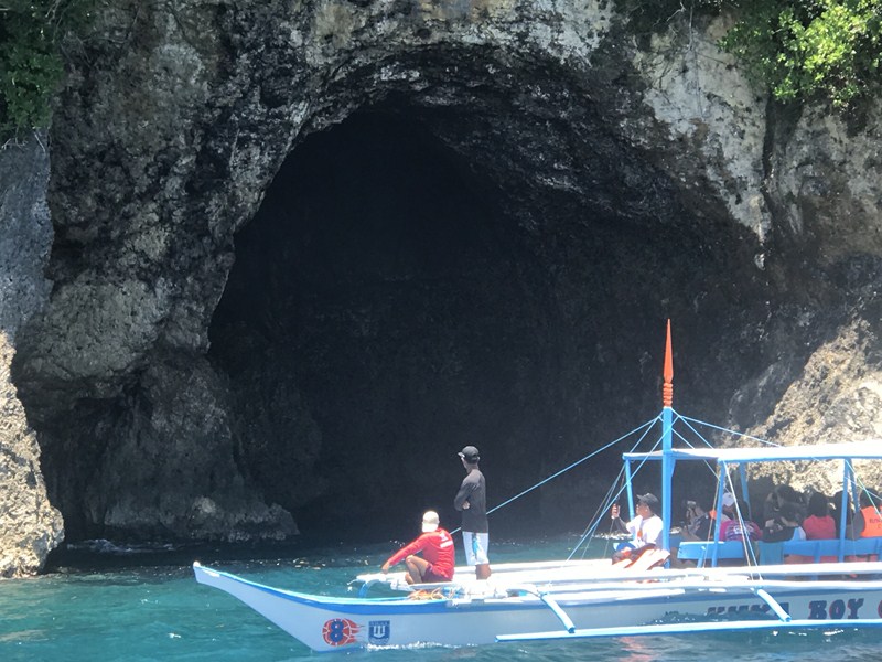
Calintaan Cave
Subic Beach, Calintaan Island, Brgy. Calintaan, Matnog 4708, Sorsogon.
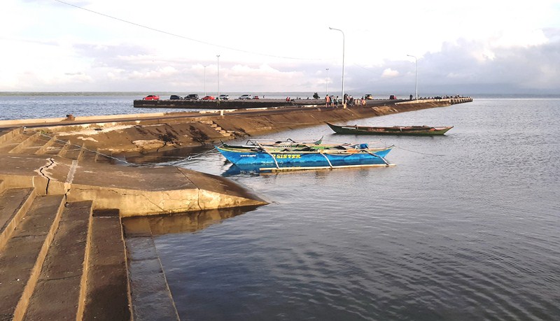
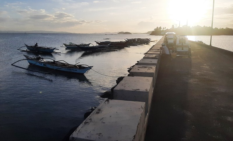
How to Get There: Matnog is located 575.9 kms. (a 13.25–hr. drive) from Manila and 61.2 kms. (a 1–hr. drive) from Sorsogon City, both via the Pan-Philippine Highway/AH26..
Sorsogon Provincial Tourism Culture and Arts Office: Ground Floor, Capitol Building, 4700 Sorsogon City. Mobile number: (0968) 624-6279. E-mail: tourism@sorsogon.gov.ph. Facebook: www.facebook.com/sorsogonprovincialtourismoffice
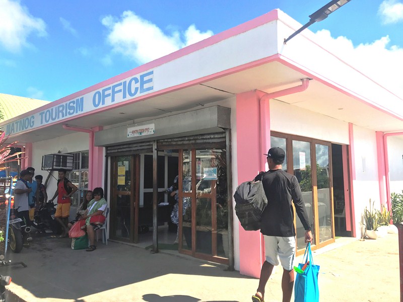
Matnog Tourism, Culture and Arts Office: Brgy. Camcaman, Matnog 4708, Sorsogon. Mobile number: (097) 231-8168. Facebook: www.facebook.com/Matnog Tourism. Fees: Environmental Fee: Php20/pax and Php16 (senior citizens). Registration Fee: Php320 (foreigners), Php70 (locals) and Php40 (senior citizens).
Ur Place Travel & Tours: OLV Pangpang, Sorsogon City, Sorsogon. Mobile number (Viber): (0927) 950-3927 (Ms. Annie Gueb). Facebook: www.facebook.com/urplacetravel.