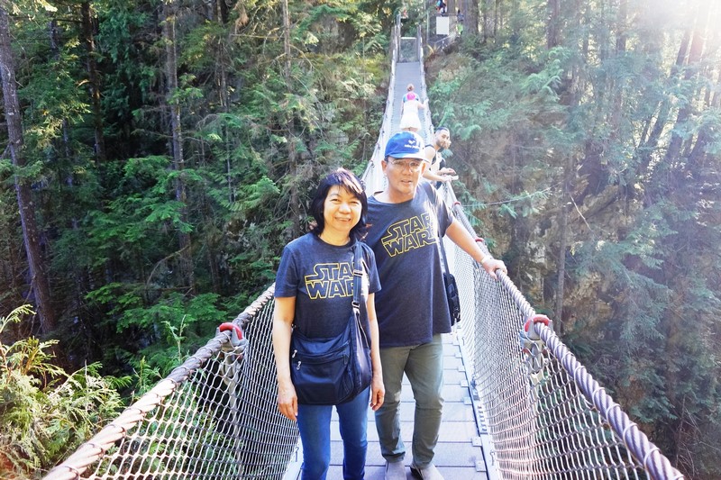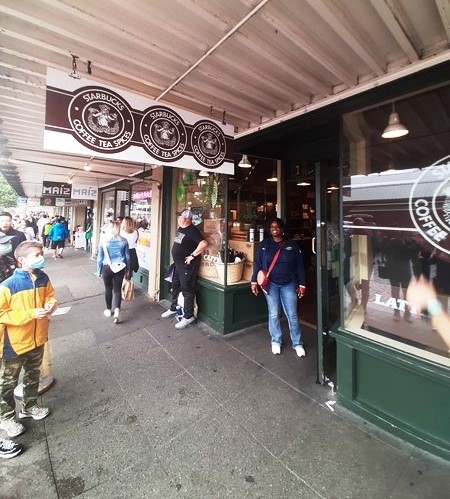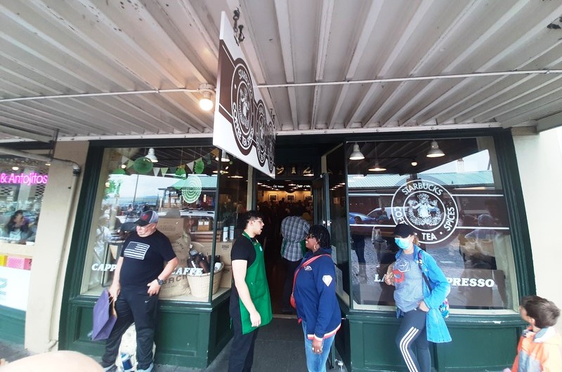
Granville Island
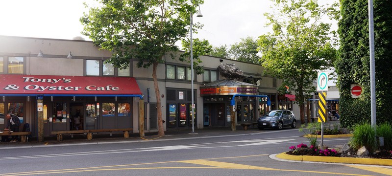
The 14 hectare (35-acre) Granville Island, a peninsula (originally used by the Musqueam First Nations as a fishing area)and shopping district in the Fairview neighborhood, across False Creek from Downtown Vancouver, is under the south end of the Granville Street Bridge.
Granville Island Ferry Dock
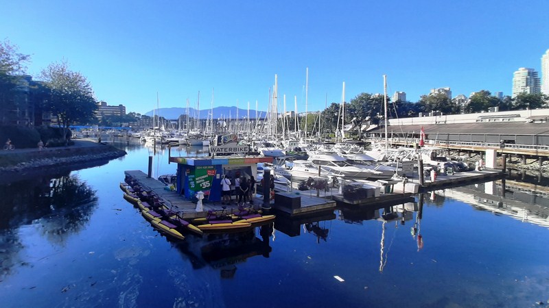
Granville Island Marina
In the 20th century, the peninsula was an industrial manufacturing area named after Granville Leveson-Gower, 2nd Earl Granville. Technically a sandspit and not an island, the neighborhood sits just south of the downtown peninsula, right under the Granville Bridge.
Artsclub Theater Company
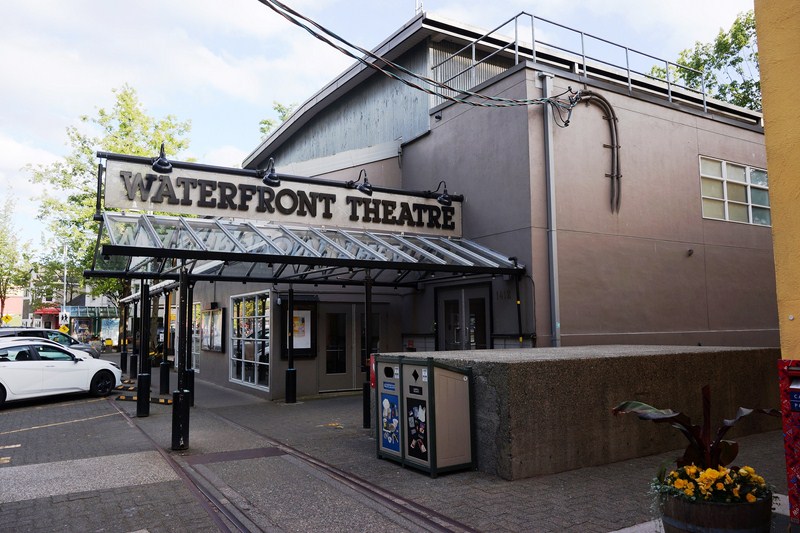
Waterfront Theatre
The Improv Centre
It includes a public market, an marina, a hotel, the False Creek Community Centre, as well as various performing arts theatres including the Arts Club Theatre Company, Carousel Theatre, Arts Umbrella, Axis Theatre Company, Boca Del Lupo, Carousel Theatre for Young People, Ruby Slippers Production Company, and the Vancouver Theatre Sports League.
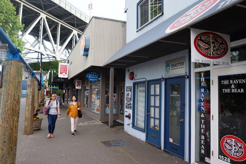
Cheska and Grace strolling along Duranleau Street
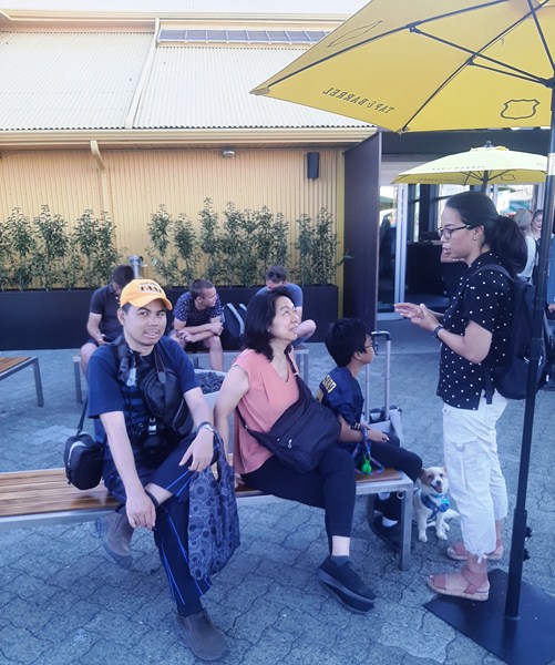
Jandy, Grace and Cheska at Tap & Barrel – Bridges Restaurant
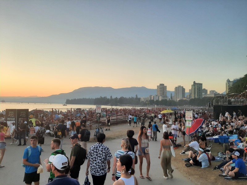
Granville Island was used as the finale of the film Mission: Impossible – Ghost Protocol (2011). The Vancouver International Children’s Festival, the Vancouver Fringe Festival and the Vancouver Writers Fest are all held here.
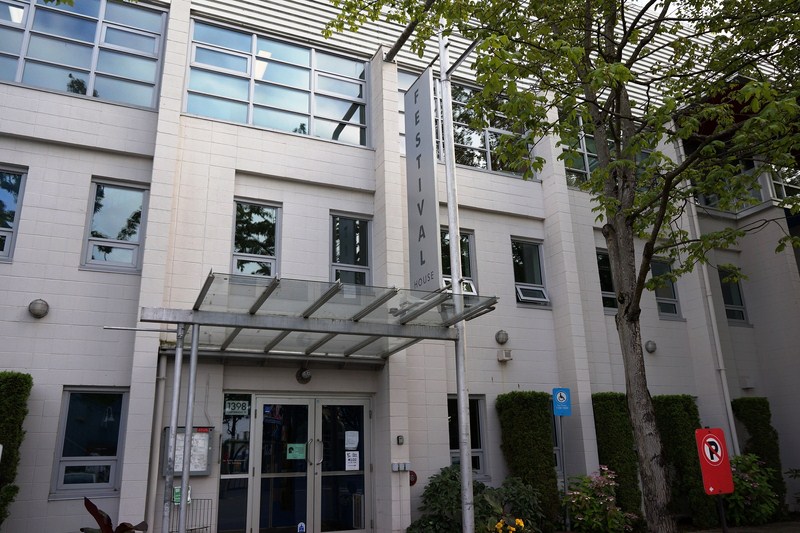
Festival House
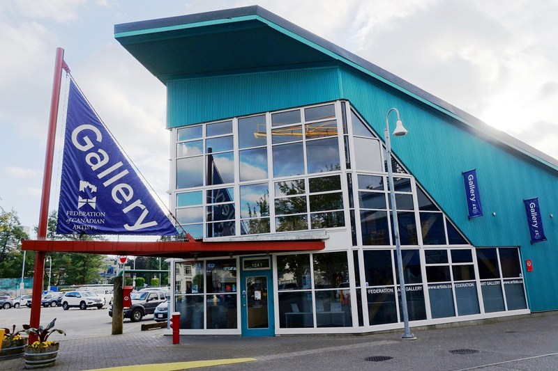
Gallery
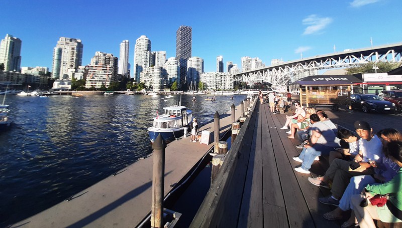
One of the best ways to get to Granville Island is one of the adorable mini-tugboat ferries that crisscross False Creek. False Creek Ferries and Aquabus, favorites among young and old, provide ferry service from Granville Island to Downtown Vancouver, Yaletown, False Creek, the West End, and Vanier Park.
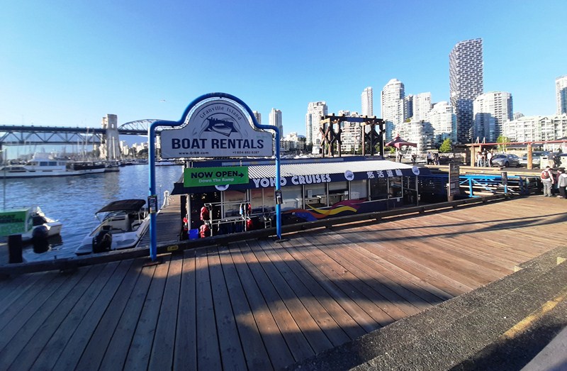
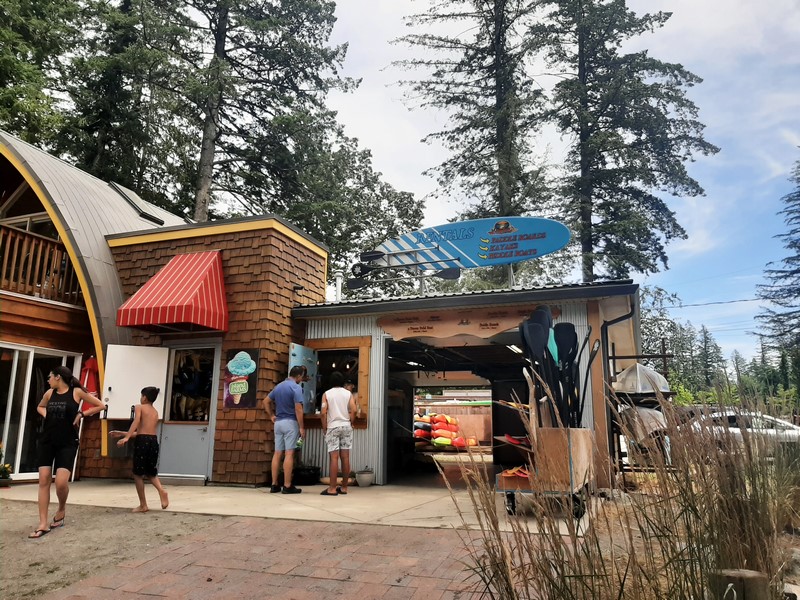
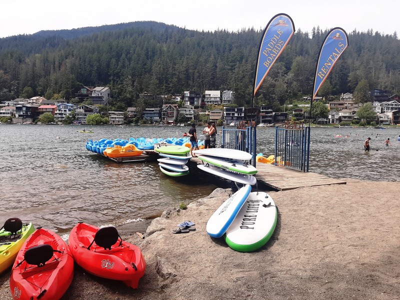
Boat Rentals
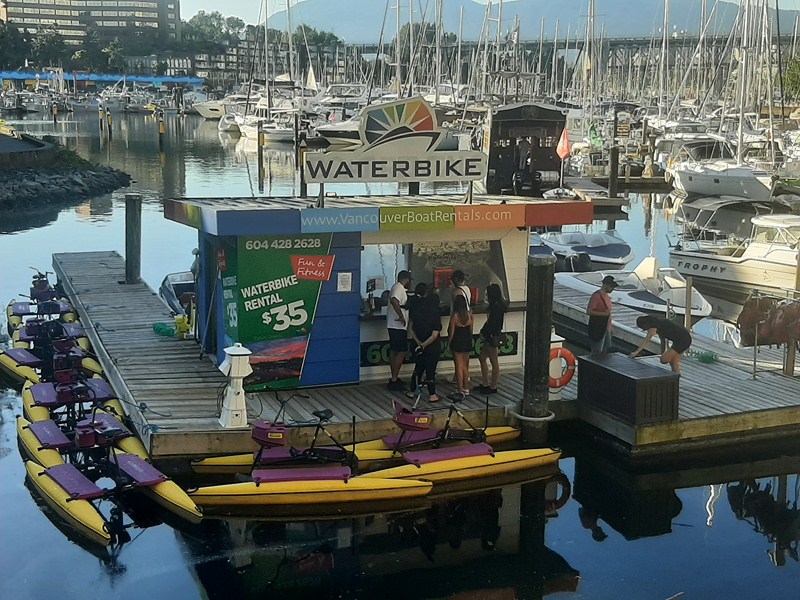
Waterbike Rental
Other water transportation options include a water taxi service to Bowen Island provided by English Bay Launch. WESTCOAST Sightseeing and Vancouver Trolley Hop-On, Hop-Off services both have stops located at Granville Island.
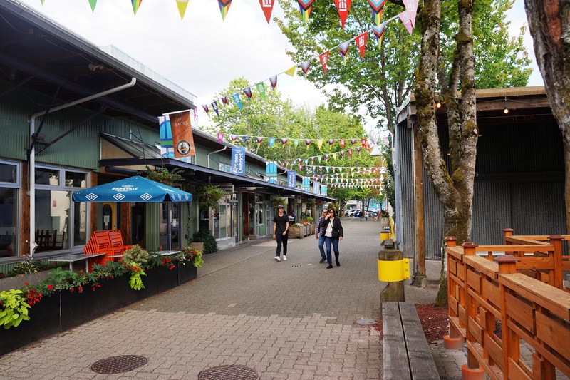
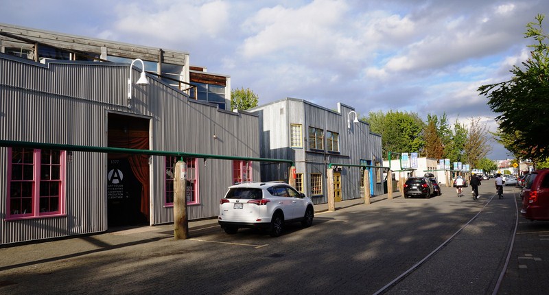
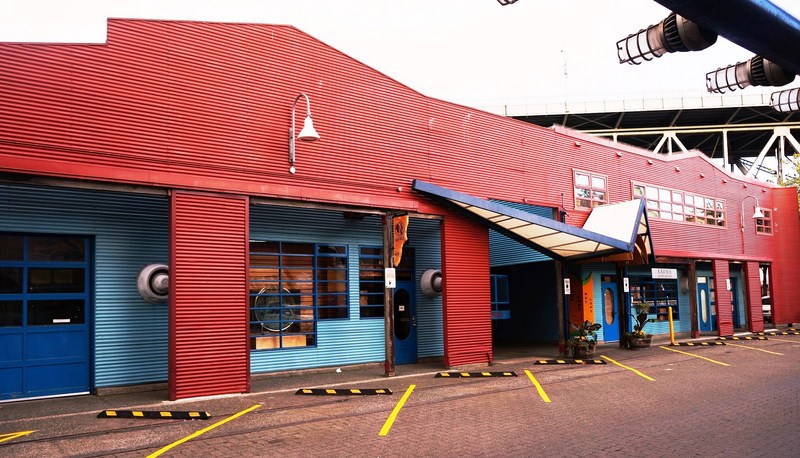
Artisan District
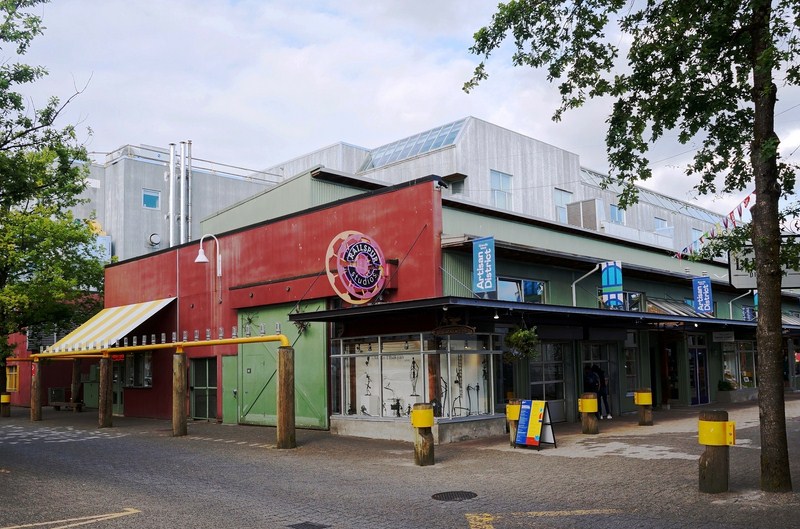
Artisan District
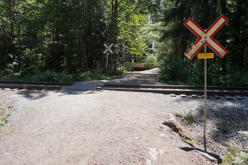
Between 1998 and 2011, the Vancouver Downtown Historic Railway operated between Granville Island and Science World. The streetcar is now permanently shut down.
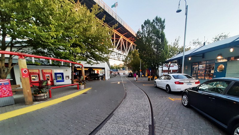
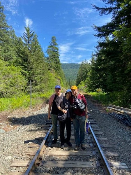
The old streetcar tracks. The railway between Granville Island and Olympic Village Station was discontinued in 2012 after the City of Vancouver decided to end its $100,000 annual subsidy for the volunteer-related service. For 15 years, it ran on weekends and holidays, from May to October, carrying 133,000 passengers over its lifespan.
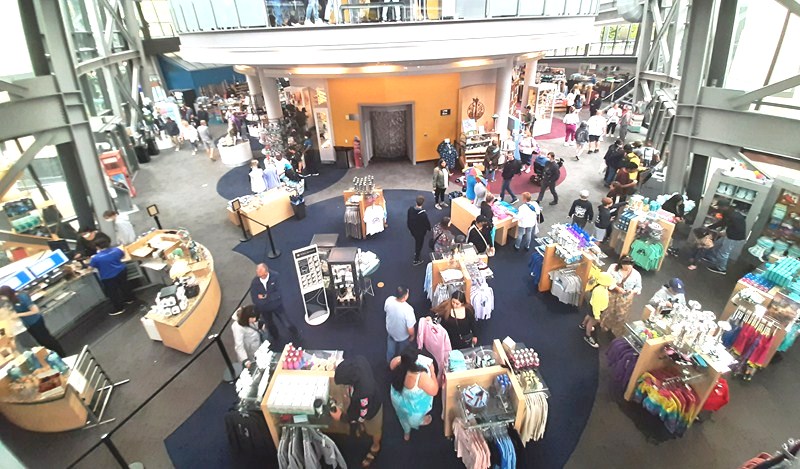
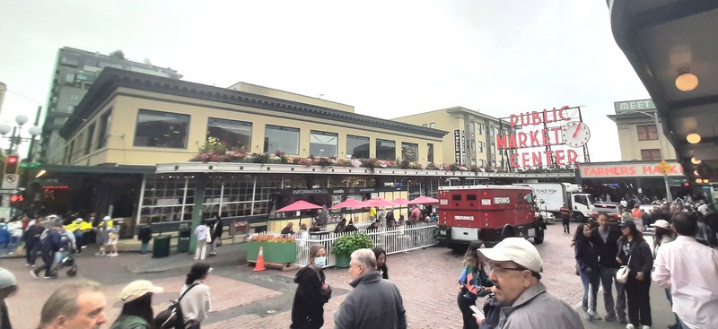
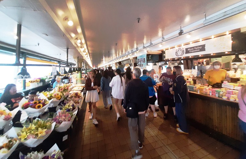
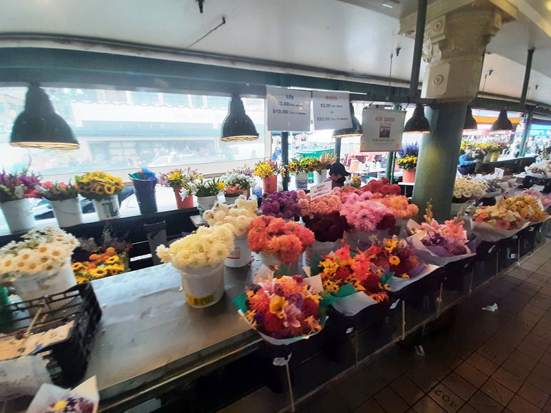
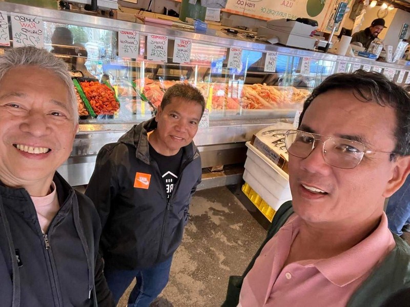
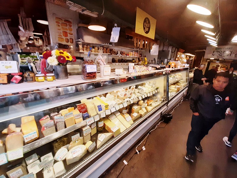
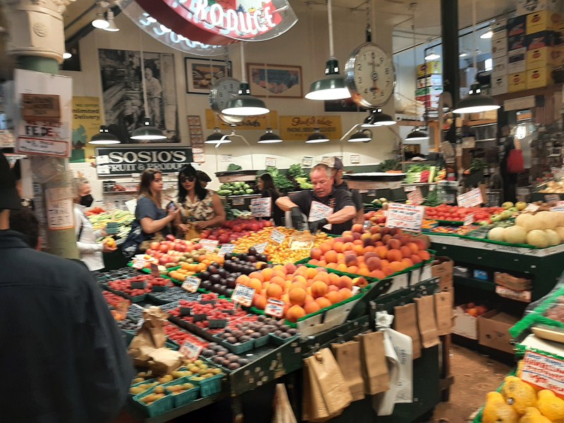
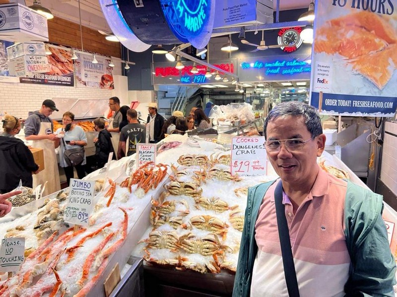
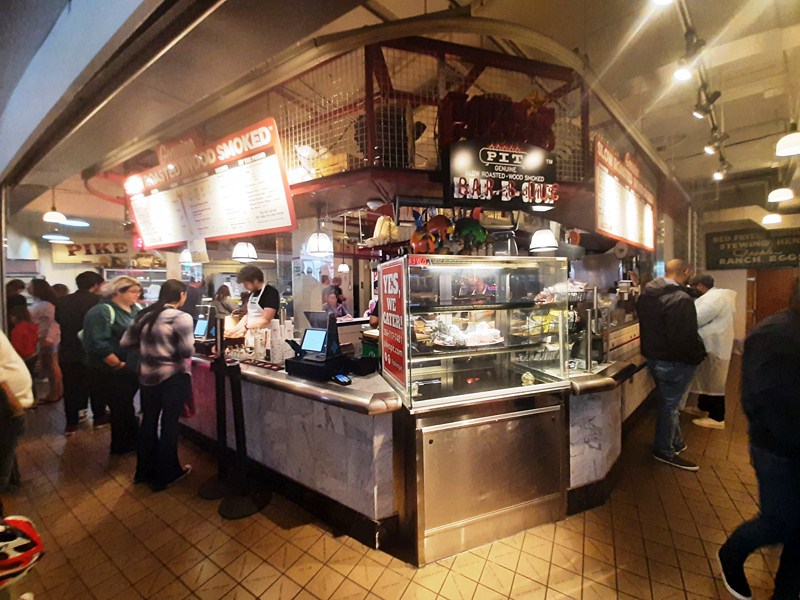
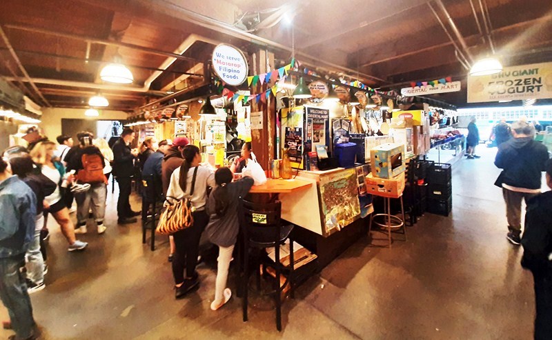
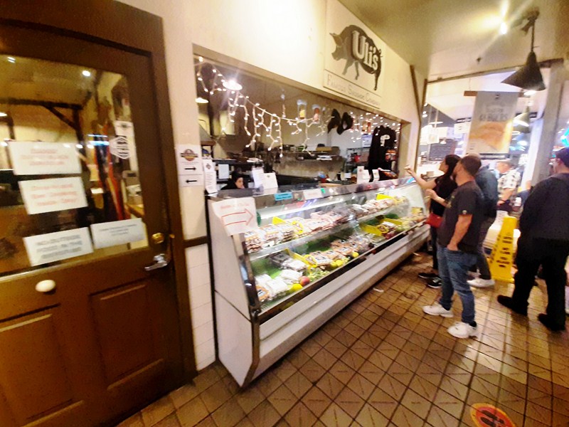
Once you’re there, the biggest attraction on Granville Island is the year-round Granville Island Public Market. For the food-focused, a walking tour of the market can be a great way to get an insider’s insight.
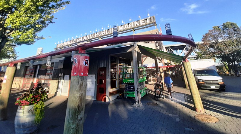
Granville Island Public Market
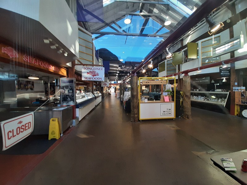
Established in 1979 as a location where farmers and other food vendors could sell to consumers, it operates in an enclosed facility where customers can purchase, in endless rows of stalls, fresh produce, meat, smoked salmon, exclusive teas, gourmet foods, baked goods, seafood, cheeses and other products, many locally sourced.
Granville Island Public Market
Attracting both local residents and tourists, the market generally has 50 vendors including retail food vendors that sell a range of items from Mexican, Asian, Greek and deli food to candy and snacks. The market includes a “kids market” designed for children.
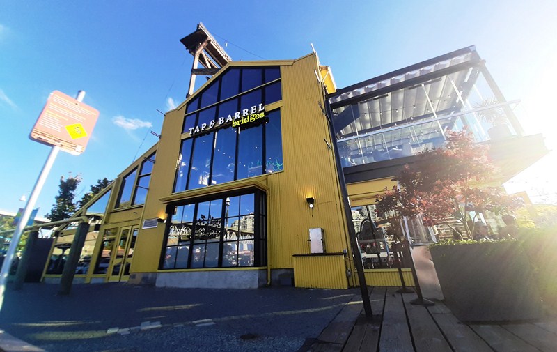
Tap & Barrel – Bridges Restaurant
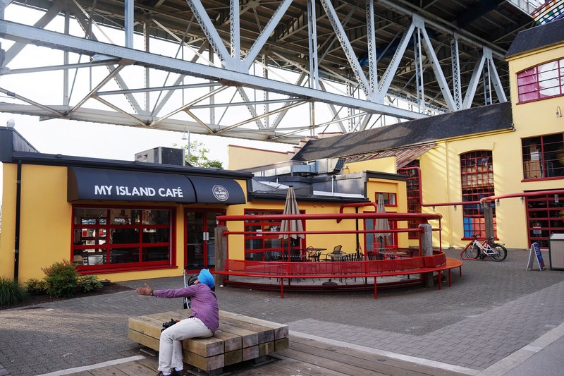
My Island Cafe
Often described as a “food lover’s paradise,” an impromptu picnic is easily picked up between vendors offering cheese, charcuterie, bread and fresh produce. The popular food court, at the end of the market building, is where you’ll find something casual but already put together. If you prefer restaurants, there are some great restaurants offering seafood down there and there’s nothing like dining by the waterfront.
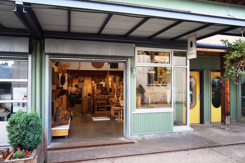
Dalbergia Wood and Fine Objects
Amy Stewart Art and Shira Gold Photography
The area is home to an artisan sake maker (the first in Canada), a spirits distillery, and two breweries. Granville Island Brewing Co. is the name of a beer company which originated on Granville Island in 1984, but whose main base of operations was moved to Kelowna, British Columbia, some time later.
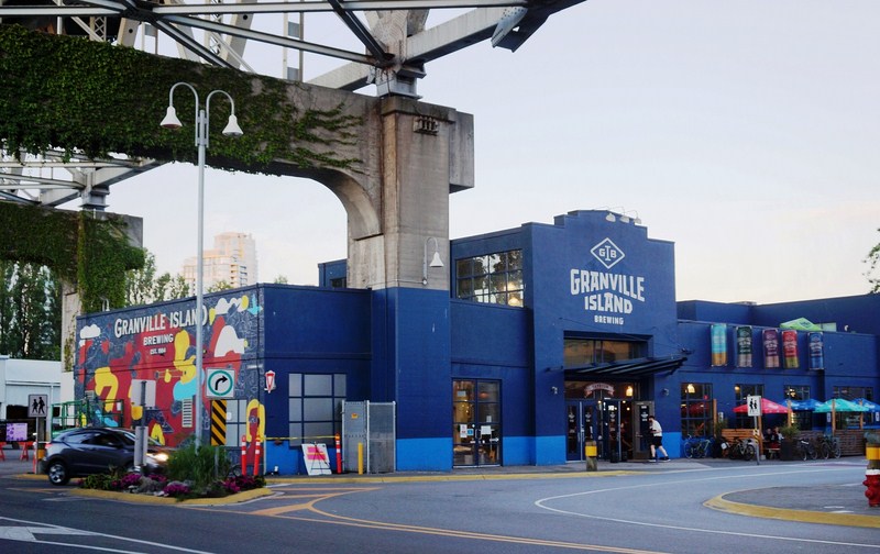
Granville Island Brewing
JN Glass
In 2009 it was purchased by Molson’s Brewery and continues to brew small batches of its varieties at the Granville Island brewing original site, and offers beer tasting and tours of their brewing facilities.
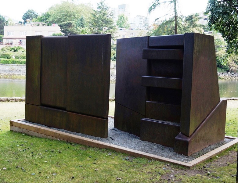
Pressure Group 6 (1982) by Barry Cogswell. A Corrosion-resistant weathering steel sculpture along path S.E. of Community Center
Ocean Concrete is the longest-established tenant on the island, having set up shop there in 1917. In 2014, OSGEMEOS (Portuguese for THE TWINS), consisting of brother duo Gustavo and Otavio Pandolfo, revamped the concrete silos with their ongoing mural project, ‘Giants’.
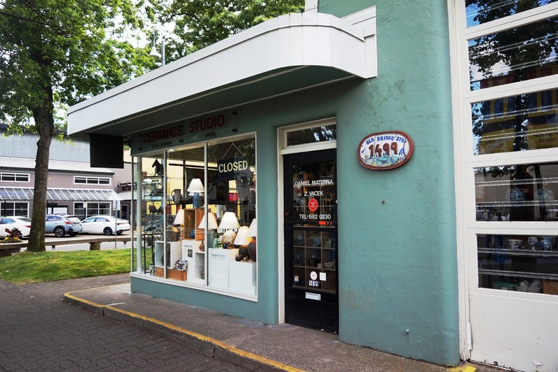
Materna Ceramics Studio
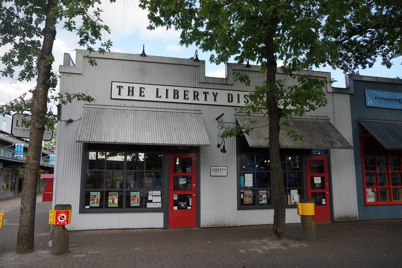
The Liberty Distillery
Canada’s only hammock shop, the Hamuhk Hangout Place, has been operating on Granville Island since 1995.In the early 1900s, Granville Island was home to factories, plants and sawmills. Things are a little different today—Granville Island is both a locals’ favorite and a huge draw for visitors. The Granville Island Public Market acts as a hub of activity, but it’s also one of the city’s most important cultural districts with theatres, artisan workshops and craft studios.
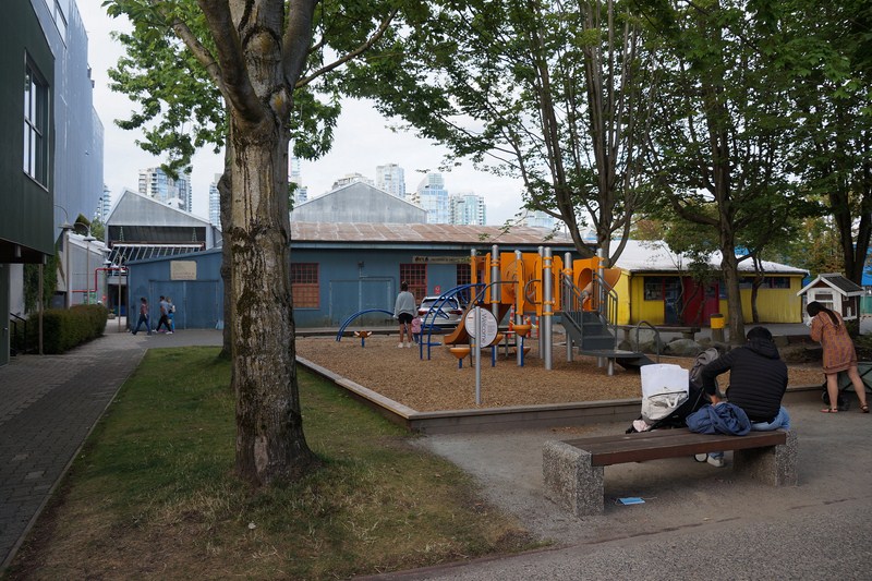
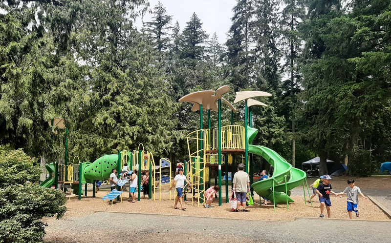
Railspur Park Playground
Granville Island, with a mix of unique crafts, skilled artisans, outdoor outfitters and deluxe gourmet stores, is one of the best places in the city to purchase souvenirs for back home. At the Net Loft Building, check out the stores for First Nations artworks, B.C. wines, and other unique gifts.
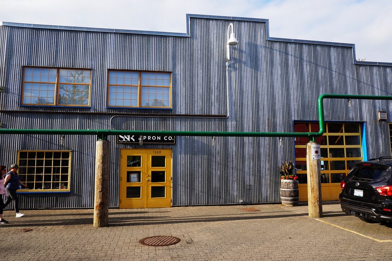
S&R Apron Co.
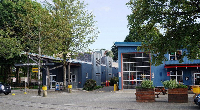
Performance Works
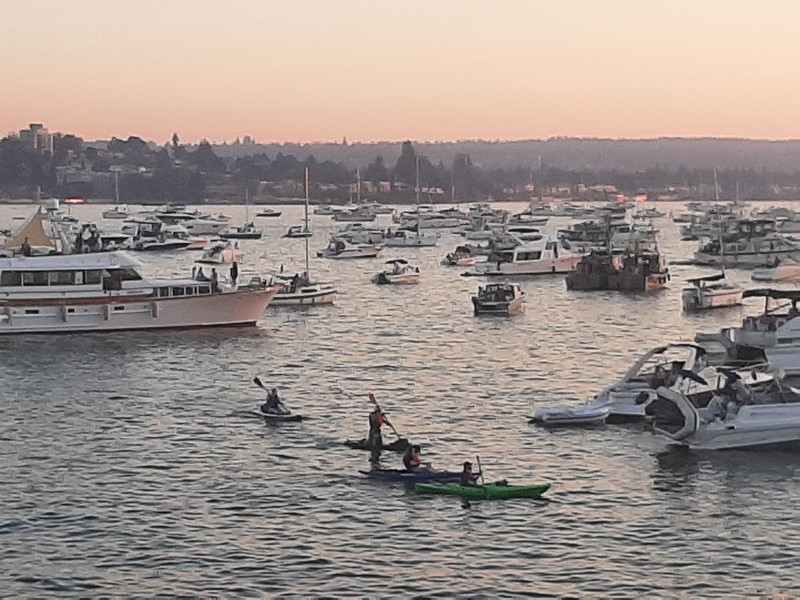
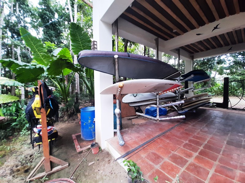
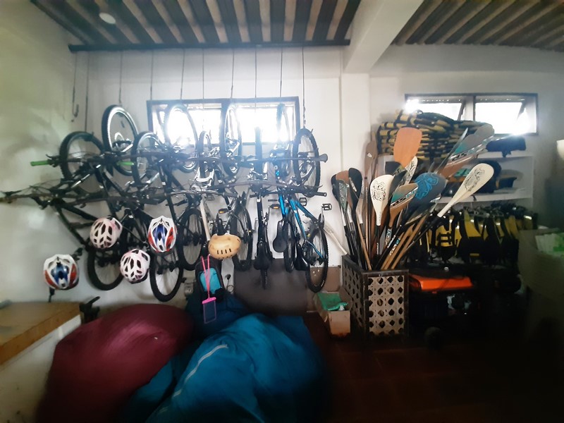
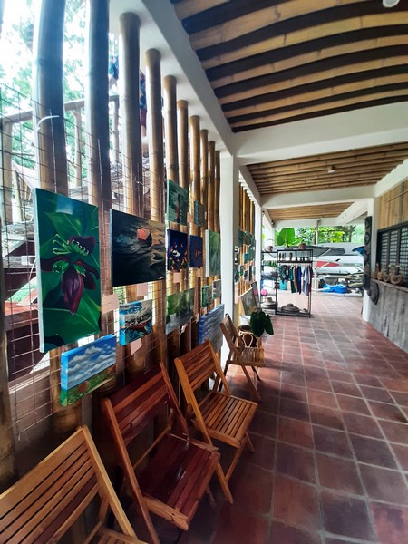
Along Railspur Alley and the far end of the island, you can peek into artisan studios where glassblowers, potters, jewellers and even a broom maker ply their crafts. Outside of the market, catch a show at one of the many theatres on the island, browse an art gallery show, or appeal to your outdoorsy side with a kayaking or paddleboarding tour.
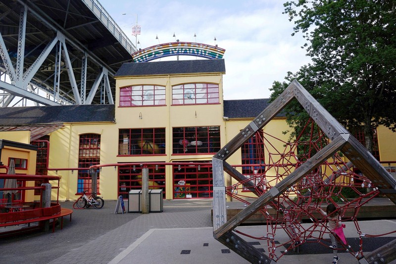
Kids Market
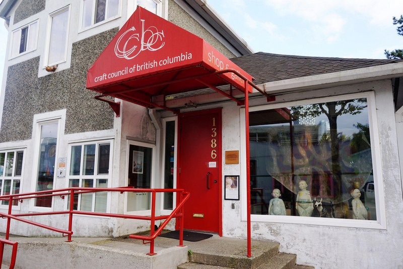
Craft Council of British Columbia
Granville Island: Vancouver, British Columbia, Canada.Website: www.granvilleisland.com. Coordinates: 49°16′15″N 123°08′03″W.