KL Tower (Kuala Lumpur, Malaysia)

After our visit to Petronas Towers, we next walked some distance to the KL Tower, locally called Menara Kuala Lumpur, until we reached the verdant and green Bukit Nanas Forest, the only gazetted forest reserve in the country.  Before anything else, we opted first to have lunch at Bangkok Expresso, which serves Asian, Indochinese as well as Thai cuisine.  We tried the pandan chicken among other dishes. Here, as in many areas in the city, we met up with Filipinos employed in the restaurant. Once done, we walked up to the gate at the base of 94 m. high Bukit Nanas (Pineapple Hill), where the tower stands.  Here, we availed of the free shuttle service, up the hill, to the tower entrance at the upper ground level.

KL Tower

At this level are 9 shops, a fastfood restaurant, a 222-pax, open-air amphitheater, souvenir shops and a mini-theater that shows a documentary, every 15 mins., of the construction of the tower. After paying the entrance fee, we proceeded to the fast speed elevator that brought us up the 335-m. high observation deck.

KL Tower Observation Deck

At its observation deck, we finally manage to get a panoramic, 360° bird’s eye view of the city, better than at its sister landmark as it is actually taller (at 515 m. above sea level) than the Petronas Towers, being built on a hill.  At the deck, we were given hand-held devices with Sony headsets that guided us through each of the windows and explain each of the attractions.  Around the deck are some souvenir shops and some Nikon 30×80 II coin-operated binoculars.

Getting a Better View via a Nikon 30×80 II Coin-operated Binocular

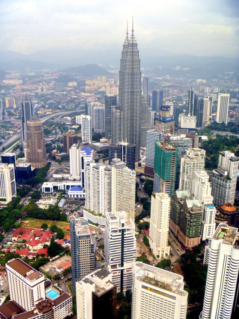
The KL Tower, locally called Menara Kuala Lumpur, was designed to withstand wind pressures of up to 90 mph.  It was built, with 45,000 cu. m. of concrete, over a period of 4 years and was completed on May 1996. Used for communication purposes, its antenna reaches 421 m. (1,381 ft.), currently making it the tallest in Southeast Asia, the second tallest freestanding tower in the world and also ranking it fourth amongst the tallest telecommunications towers in the world (after 553 m. high CN Tower in Canada, the 537 m. high Ostankino Tower in Russia and the 468 m. high Shanghai Tower in China). Here, we clearly saw the Genting Highlands, the Klang Valley and other buildings of Kuala Lumpur, including the Petronas Towers.

A Spectacular View of the City (including Petronas Towers)

The tower’s Islamic tiles, classic Islamic floral and abstract motifs and soothing color combinations reflects the country’s Islamic heritage. Designed with vertical ribs on its external surface, the tower weighs 100,000 tons and was built on freestanding land with no piles.

Bangkok Expresso: The Weld Shopping Center, 76 Jalan Raja Chulan, Kuala Lumpur, Malaysia.

Menara Kuala Lumpur: Jalan Puncak, Off Jalan P. Ramlee, 50250 Kuala Lumpur, Malaysia. Tel: 603-2020 5444. Fax: 603-2034 2609.  Email: menara@menarakl.com.my. Website: www.menarakl.com.my. Open daily, 9 AM–10 PM.

Olympic Park and Pangu 7 Star Hotel (Beijing, People’s Republic of China)

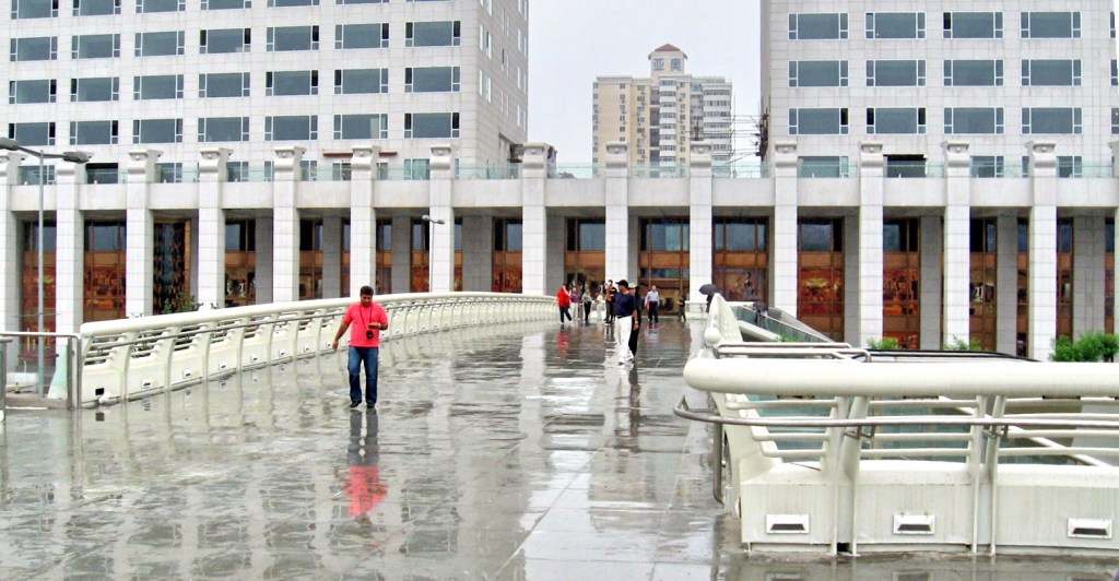
After our Badaling Great Wall visit, we decided to capped this rainy day with a short visit, though not part of our itinerary, to the Beijing Olympic Park, its structures built for the 2008 Summer Olympics.  Brittany dropped us off at the Ruyi Bridge (over the Pangu Gardens) where, from this vantage point, we had a great view of the “Bird’s Nest” National Indoor Stadium and “Water Cube” Aquatic Center of the Olympic Park on one side and the Pangu 7 Star Hotel on the other.

Beijing National Indoor Stadium

The 18,000-pax Beijing National Indoor Stadium, also known as the National Indoor Stadium, is an indoor arena nicknamed as the Fan due to its design resembling a traditional Chinese folding fan. Opened on November 26, 2007, it hosted, at the 2008 Olympics, the artistic gymnastics, trampolining and handball events. After the Olympics, the stadium was used for sports competition, cultural and entertaining purposes, and as a multi-functional exercise center for local residents.

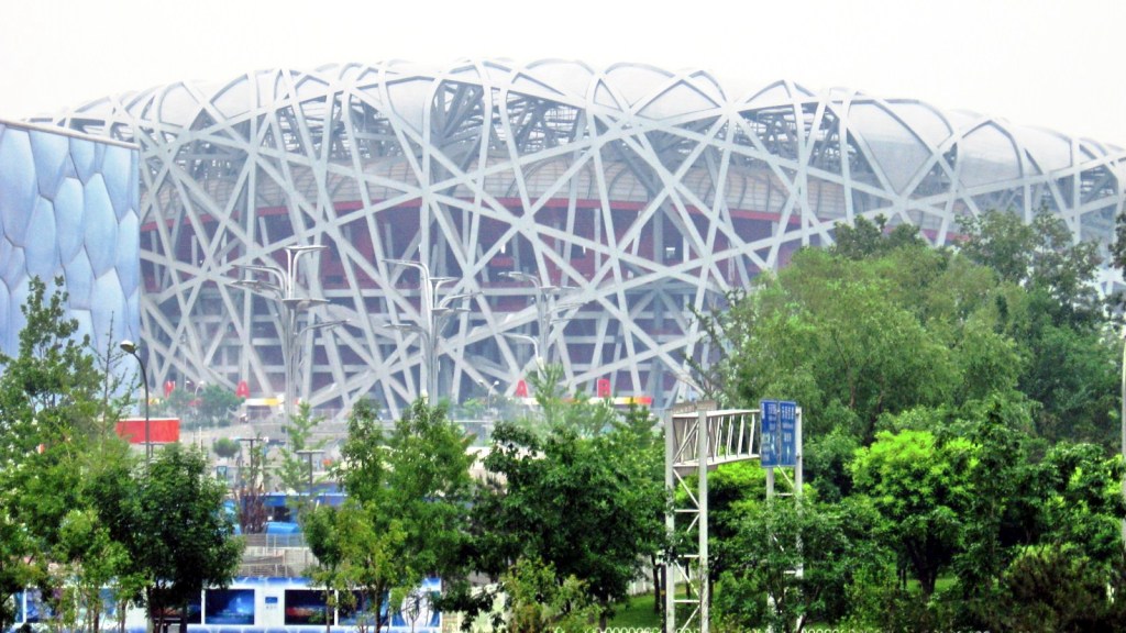
Bird’s Nest – Beijing National Stadium

The US$423 million Beijing National Stadium, also known as the National Stadium or, colloquially, as the “Bird’s Nest,” was designed for use throughout the 2008 Summer Olympics and Paralympics. Its design was awarded to a submission from the Swiss architecture firm Herzog & de Meuron in April 2003, after a bidding process that included 13 final submissions. The design, which originated from the study of Chinese ceramics, implemented steel beams in order to hide supports for the retractable roof; giving the stadium the appearance of a “bird’s nest.” Leading Chinese artist Ai Weiwei was the artistic consultant on the project. The retractable roof was later removed from the design after inspiring the stadium’s most recognizable aspect. Ground was broken in December 2003 and the stadium officially opened in June 2008.

Water Cube – Beijing National Aquatics Center

The Beijing National Aquatics Center, also known as the National Aquatics Center and nicknamed the “Water Cube,” is an aquatics center that was built alongside Beijing National Stadium in the Olympic Green for the swimming competitions of the 2008 Summer Olympics. Despite its nickname, the building is not an actual cube, but a cuboid (a rectangular box). Ground was broken on December 24, 2003, and the Center was completed and handed over for use on January 28, 2008. During the Olympics, swimmers here broke 25 world records.  After the Olympics, the building underwent a RMB 200 million revamp to turn the inside into a water park.

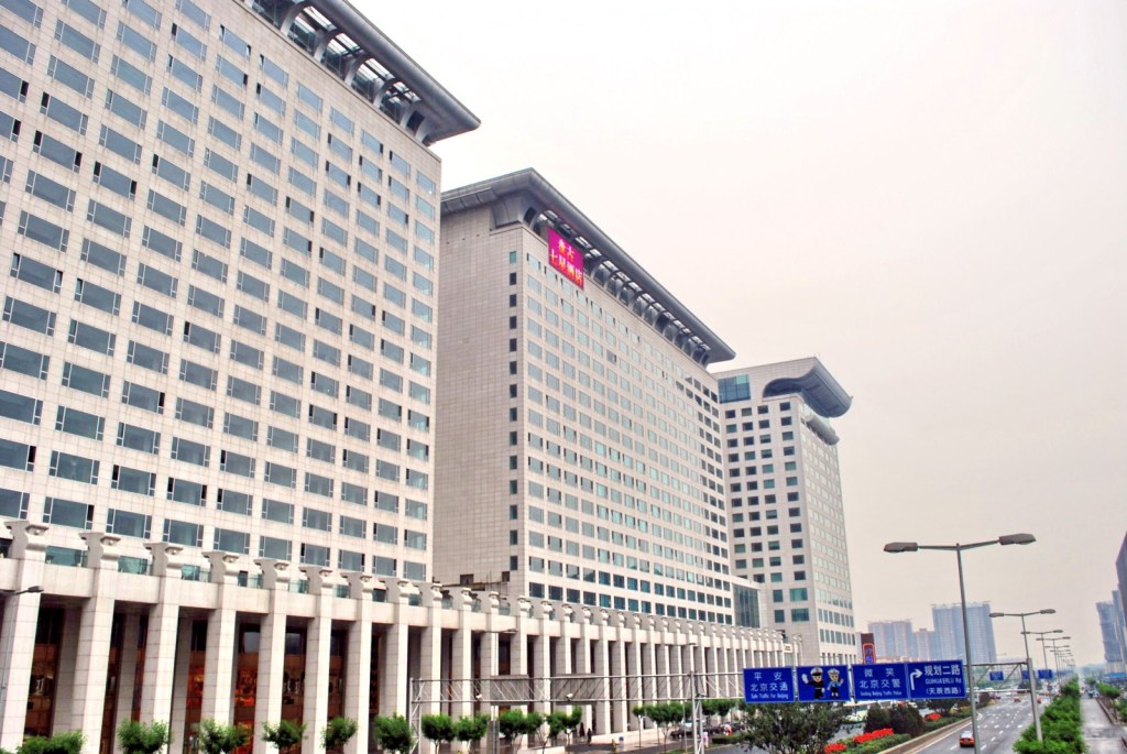
Pangu 7-Star Hotel

The Pangu 7 Star Hotel,  with its jaw-dropping views of the “Bird’s Nest” National Stadium and “Water Cube” Aquatic Centre, offers 234 guest rooms, including 140 suites. Ten room categories range in size from 45 to 488 sq. m. and all have 3.5-m. high ceilings. It is the only hotel to have been granted permission from the Palace Museum to reproduce priceless artworks from the Forbidden City. The masterworks were recreated on burnished copper panels in Italy.

Ruyi Bridge

On our last night in Beijing, we decided to go shopping at the San Li Tun Commercial Complex.  Our last day was uneventful as our flight left Beijing for Manila at 12 noon.  What an end to summer and a welcome for the rainy season.

The Badaling Great Wall (Beijing, People’s Republic of China)

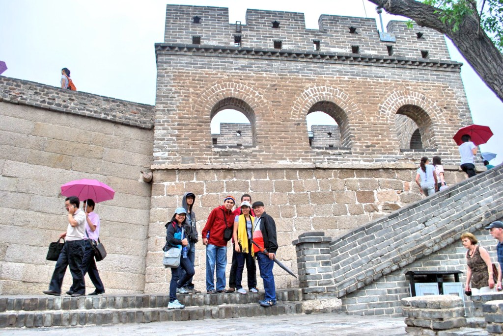
After this short stopover at the Bona Jade Store, we all returned to our coach in anticipation of a great Great Wall tour.  Then it started to rain.  Upon arrival at the Badaling Great Wall, we found out that our cable car ride was cancelled, bad news for chubby Alex and his senior citizen mom.  Carmen opted to stay behind while Alex gamely joined us.  With the time allotted to us by our guide Brittany, we traversed the snaking portions of the wall as far as we could, donning our jackets for rain protection.  Some of the sections were quite steep.

The Great Wall of China

The entire Great Wall, with all of its branches, stretches for 8,851.8 kms. (5,500.3 miles), 6,259.6 kms. (3,889.5 miles) of which are sections of actual wall while the rest are 359.7 km (223.5 mi) of trenches and 2,232.5 kms. (1,387.2 miles) of natural defensive barriers such as hills and rivers.

The carefully restored, 4.8-km. long Badaling Great Wall, 70 kms. (42 miles) northwest of Beijing, one of 4 places that is accessible to tourist,is its most visited section (opened to tourists in 1957).  On February 24, 1972, the late U.S. Pres. Richard M. Nixon and his wife, accompanied by Vice Premier Li Xiannian, visited this part of the wall during his historic visit to China. On the day of our visit it was filled with tourists, in spite of the rain.  The immediate area around the Badaling Wall has a number of hotels, restaurants and a cable car.

The Great Wall of China, stretching from Shanhaiguan in the east to Lop Nur in the west, along an arc that roughly delineates the southern edge of Inner Mongolia, is a series of stone and earthen fortifications in northern China, built originally to protect the northern borders of the Chinese Empire against intrusions by various nomadic groups such as the Xiongnu from the north and rebuilt and maintained between the 5th century BC and the 16th century.

Since the 5th century BC, several walls have been built that were referred to as the Great Wall. One of the most famous is the wall built between 220–206 BC by the first Emperor of China, Qin Shi Huang. Little of that wall remains; the majority of the existing wall was built during the Ming Dynasty.

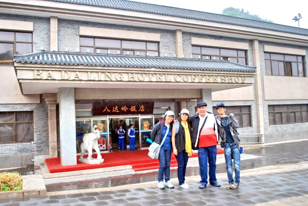
Prior to our return to our assembly area at Badaling Hotel, we took some time out to do some pasalubong shopping at a souvenir shop where I bought some marble letterhead stamps etched, on the spot, with the names of Jandy and my daughter Cheska, both in Chinese characters.  I also bought a pair of granite tiles stippled with images of the Great Wall.  Back at the Badaling Hotel, we had a late buffet lunch at its coffee shop.  At the men’s comfort room, we were amused by life-size replicas of the terra cotta warriors of Xian.

Badaling Hotel Coffee Shop

Macau Tower (Macau)

Part of our itinerary during our city was a visit to the Macau Tower, foremost among the tourist destinations in Macau.  This 338 m. (1,109-ft.) high (taller than the famous Eiffel Tower of Paris) tower, the 10th highest freestanding tower in the world and the 8th tallest in Asia, was opened on December 19, 2001. Officially designated as the Macau Tower Convention & Entertainment Centre (MTCEC), it is one of the members of the World Federation of Great Towers.  Besides being used for observation and entertainment, the tower is also used for telecommunications and broadcasting.   Constructed by the Sociedade de Turismo e Diversoes de Macau, S.A.R.L. (STDM), the tower was designed by Gordon Moller of the architectural firm of  Craig Craig Moller.

Macau Tower

Macau Tower can be entered through the underground gates or via escalators within the Convention & Entertainment Centre premises. We entered via the latter where we were taken trough a shopping area attributed with a unique marble floor depicting an interpretation of the Pearl River Delta life.

Lobby of Macau Tower

The lobby has a model of the tower made with Lego bricks (installed December 2007).  The tower comprises 4 public levels. The double-height Main Observation Level comprises 2 glass floor areas: the Outdoor Observation Deck and the revolving, 250-pax The Macau Tower Restaurant (takes 1 hour to make 1 revolution).

A Lego Model of the Macau Tower

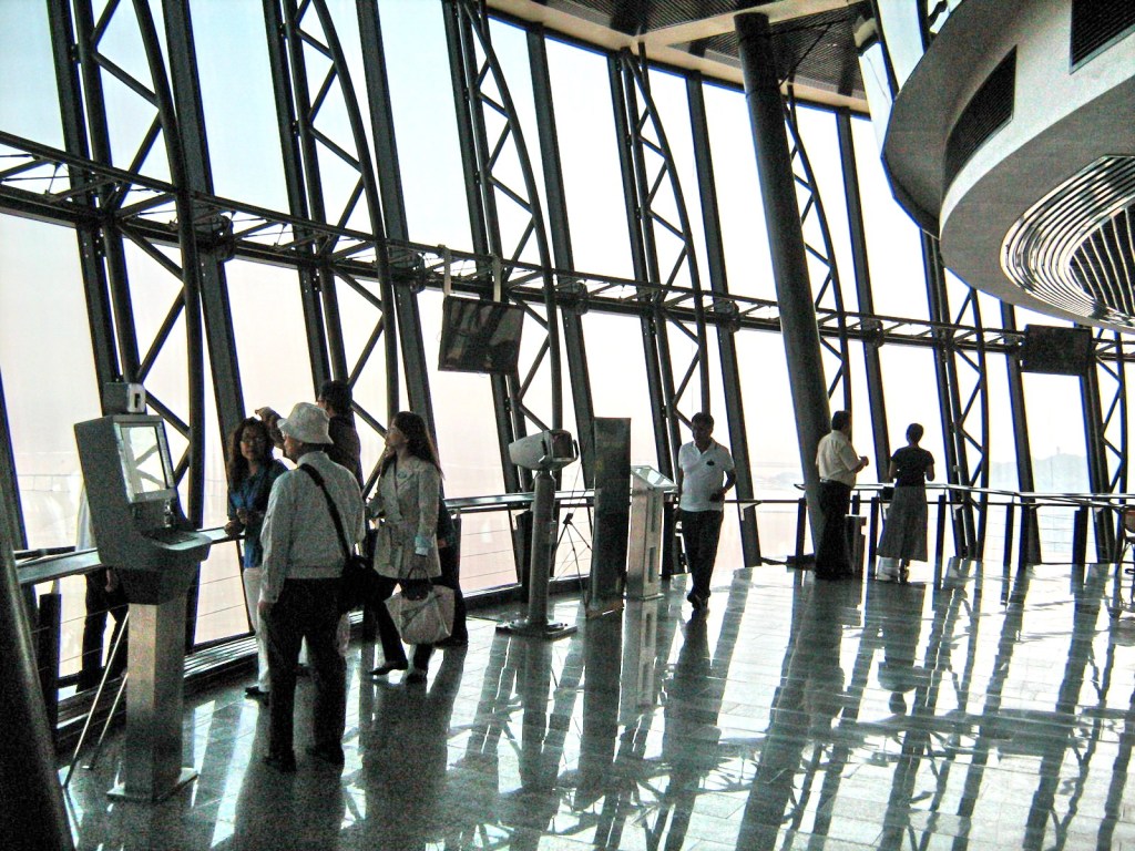
We were only interested in the Main Observation Level at the 58th level (223 m.).  After paying the admission fee (MOP80), we got up there via one of 3  30-pax, glass-fronted, high-speed  lifts, getting to our destination in 45 seconds.

Main Observation Level

Here, we could got the best and breathtaking view, up to 55 kms. away, of the city’s skyline as well as of Canton, the Pearl River and even some Hong Kong islands on a clear day.  Sections of the Observation Lounge are fitted with glass floor, letting us see the ground beneath your feet.

City View From Macau Tower

It has, in recent years, been used for a variety of adventurous activities.  On December 17, 2006, world-renowned A.J. Hackett, the “Father of Contemporary Bungee Jumping,” broke his own 1987 Guinness World Record of “The Highest Bungee Jump from a Building” from the tower’s outer rim.  Today, visitors can emulate this vertiginous, tethered bungee jump (MOP$888), freefalling for about 4-5 seconds, at 200 kms. per hour, before the 50 m. long bungy rope is stretched and the guests rebound at approximate height of 30 m.  At height of 233 m., it is the second highest commercial skyjump in the world, after Vegas’ Stratosphere skyjump at 260 m.

Skywalk X

More novel, but no less thrilling, is the Skywalk X (MOP$588) where you can sit or stroll along the tower’s transparent, 1.8 m. wide outer rim tethered to nothing but a harness of the world’s first overhead rail system. There were some tourists trying this out during our time at the observation deck. Then, there’s the Mast Climb where one can climb up about 100 m. of the mast’s vertical ladders, completing it in about 2 hours. Finally, there’s the Skyjump. Not for the fainthearted, it requires thrill-seekers to jump off from the outer rim of the Macau Tower, traveling down at a speed of 75 kms./hr., for about 20 seconds, and will start to decelerate to a comfortable speed until you land at the base of the Macau Tower.

Macau Tower Convention and Entertainment Centre: Largo da Torre de Macau, Macau, People’s Republic of China.  Tel: +853 2893 3339. Fax: +853 2896 0103.  Website: www.macautower.com.mo. The observation deck is open Mondays to Fridays, 11 AM-8 PM, and Saturdays, Sundays and public holidays, 10 AM-8 PM.

Singapore Flyer (Singapore)

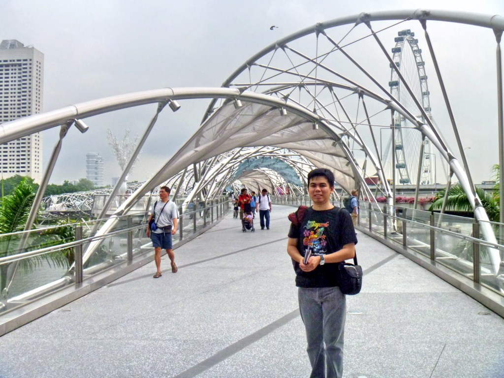
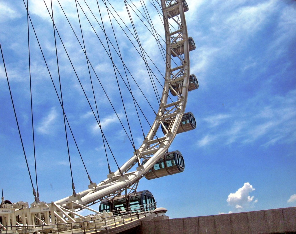
After breakfast at the hotel, we all left, on board 2 taxis, for the Singapore Flyer, a giant observation (management refuses to use the word “Ferris”) wheel at the Marina Promenade, located at the southeastern tip of  Marina Center, near the shore of Marina Bay. We wanted to get a breathtaking and panoramic view of Singapore’s magnificent city skyline and what better place to do that than being 42 stories up in a 165 m. (541 ft.) high observation wheel.

Singapore Flyer

The tallest in the world, it is 5 m. (16 ft.) higher than the Star of Nanchang (People’s Republic of China) and 30 m., (98 ft.) higher than the London Eye (United Kingdom).   Designed by Arup and Mitsubishi Heavy Industries, the actual wheel has a diameter of 150 m. (492 ft.).  It was constructed from 2005–2008 and its final capsule was installed on October 2, 2007.

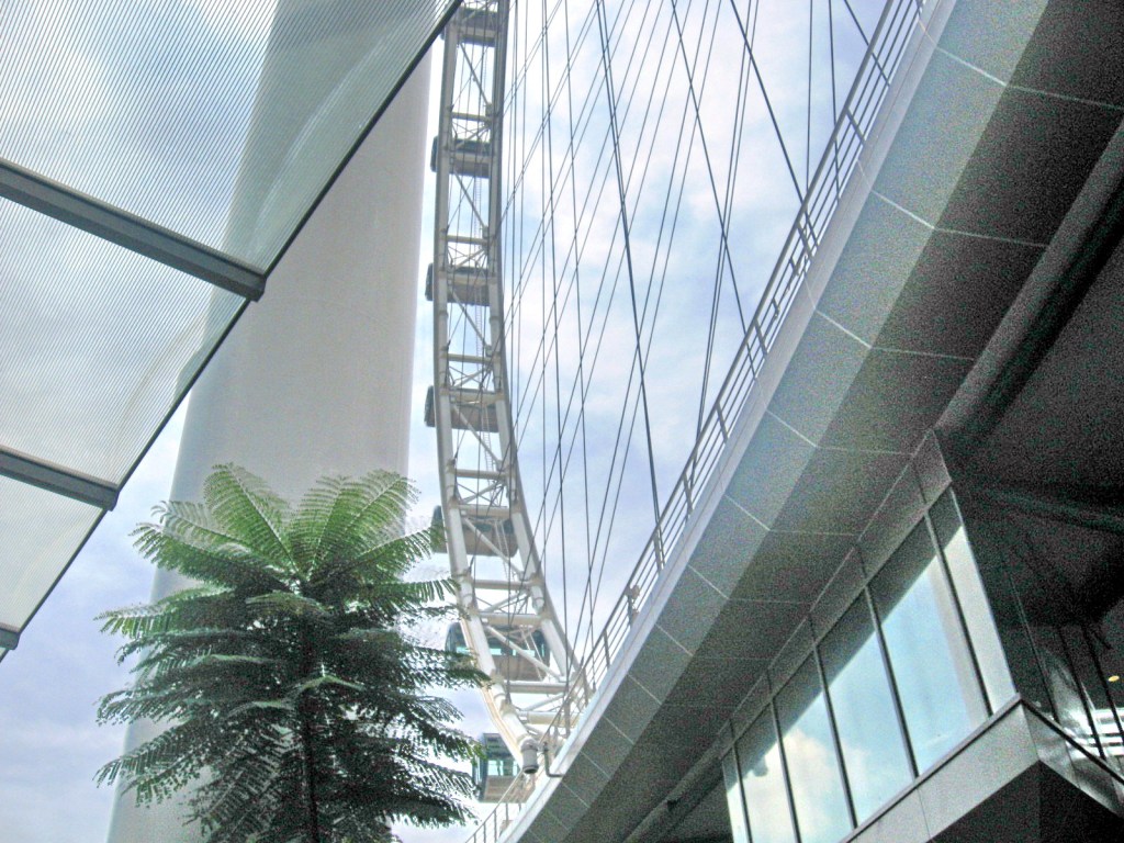
View of the Observation Wheel From the Terminal Building

The wheel started rotating on February 11, 2008 and it was officially opened to the public on March 1, 2008. Its grand opening was held on April 15, 2008. Initially, the wheel rotated in a counter-clockwise direction until, on the advice of Feng shui masters, its direction was changed on August 4, 2008.

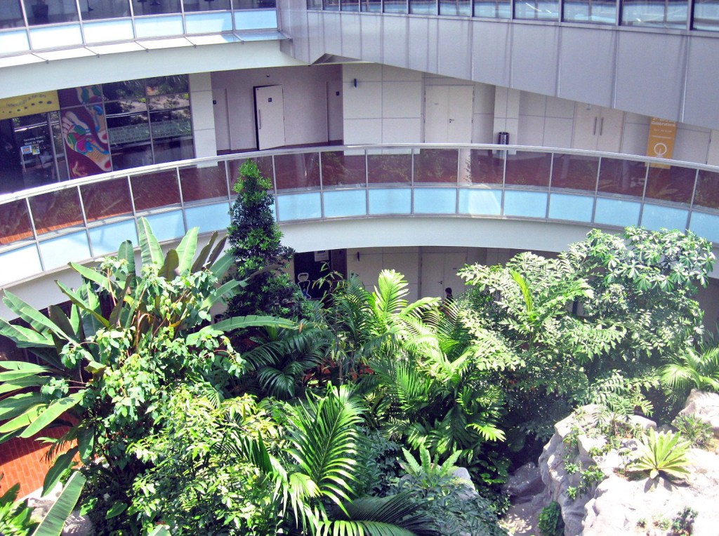
The Rainforest at the Atrium

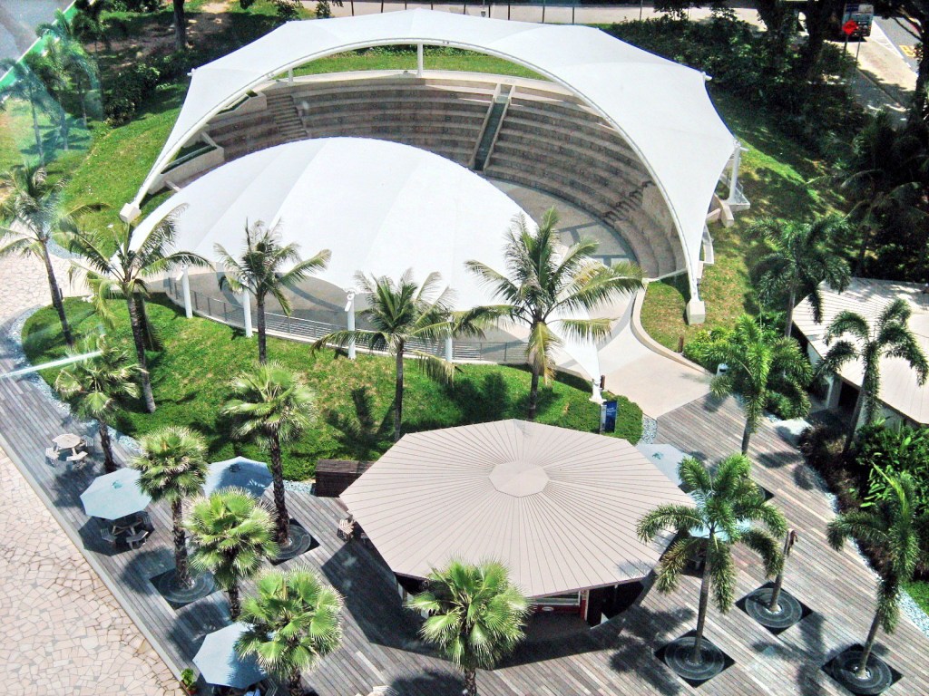
It was almost noon when we all arrived at the 3-storey, 16,000 sq. m.(172,000 sq. ft.) terminal building on which the wheel sits.   The terminal houses shops, bars and restaurants, an adjacent open-air Greek-inspired theater along the waterfront, a jetty, roof gardens and a recreated rainforest (Rainforest Discovery) with waterfall in the terminal’s atrium.

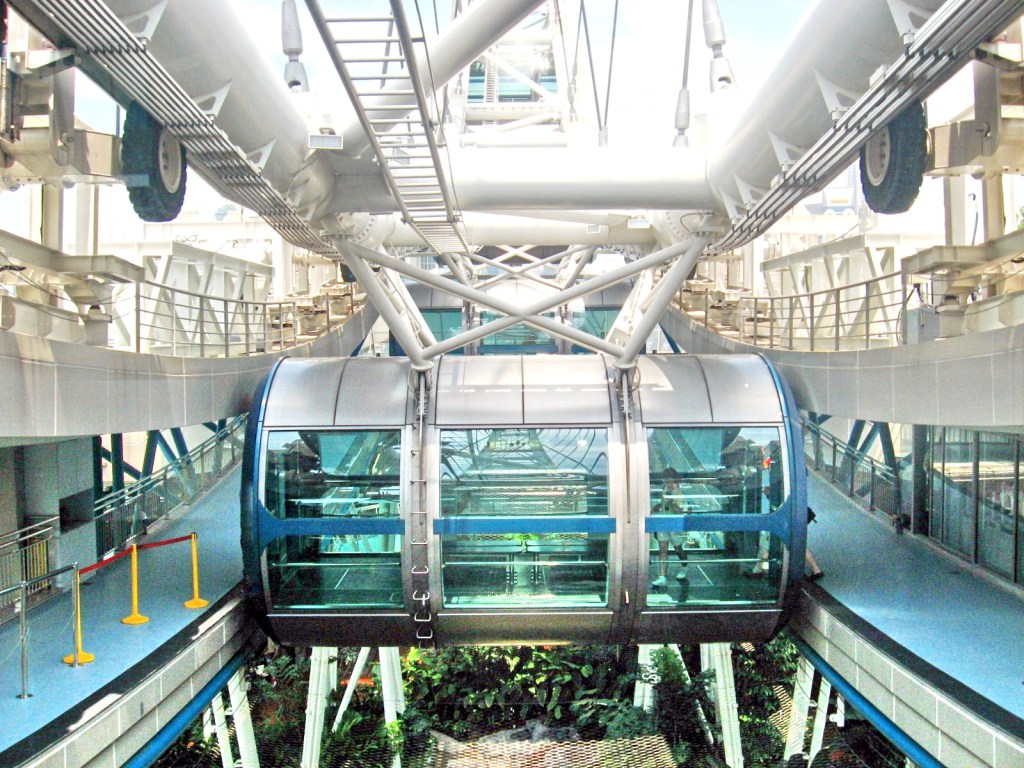
The Airconditioned Exo-Capsules

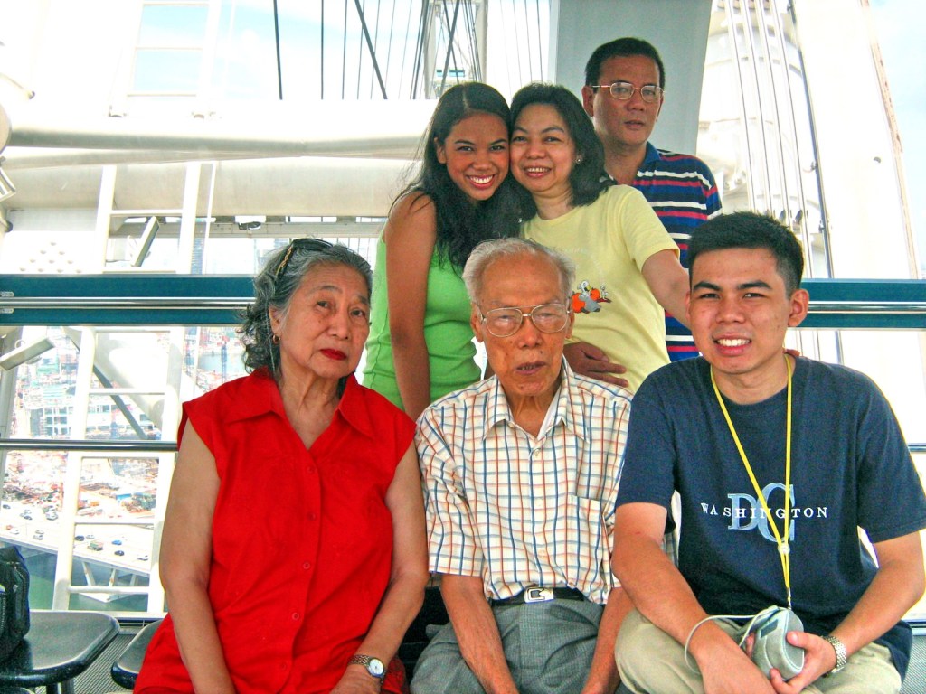
After paying the S$29.50 admission fee, we entered one of the 28 airconditioned, 28-pax, 26 sq. m. (280 sq. ft.) exo-capsules which, like those of the London Eye, are attached outward of the wheel structure, offering a continuously unobstructed view when the capsule is at the peak, unlike the more common endo-capsule.

Flyer Theater

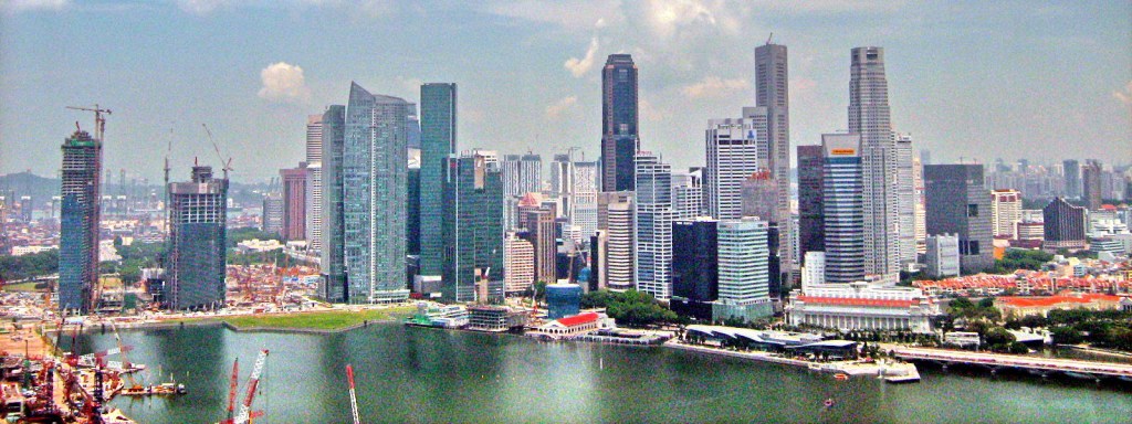
A complete clockwise (when viewed from Marina Center) rotation of the wheel takes approximately 37 minutes. During all that time, we had a breathtaking, vibration-free view of Singapore’s iconic and historical landmarks, views from the Marina Bay to the Singapore River, City Hall, Raffles Place, Merlion Park, the Supreme Court Building, Empress Place and the Padang.

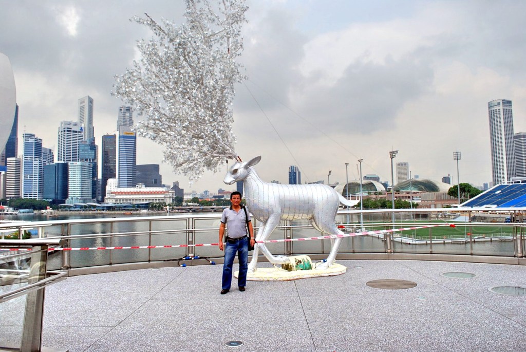
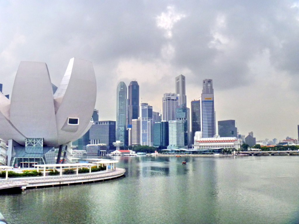
Singapore's Magnificent Skyline

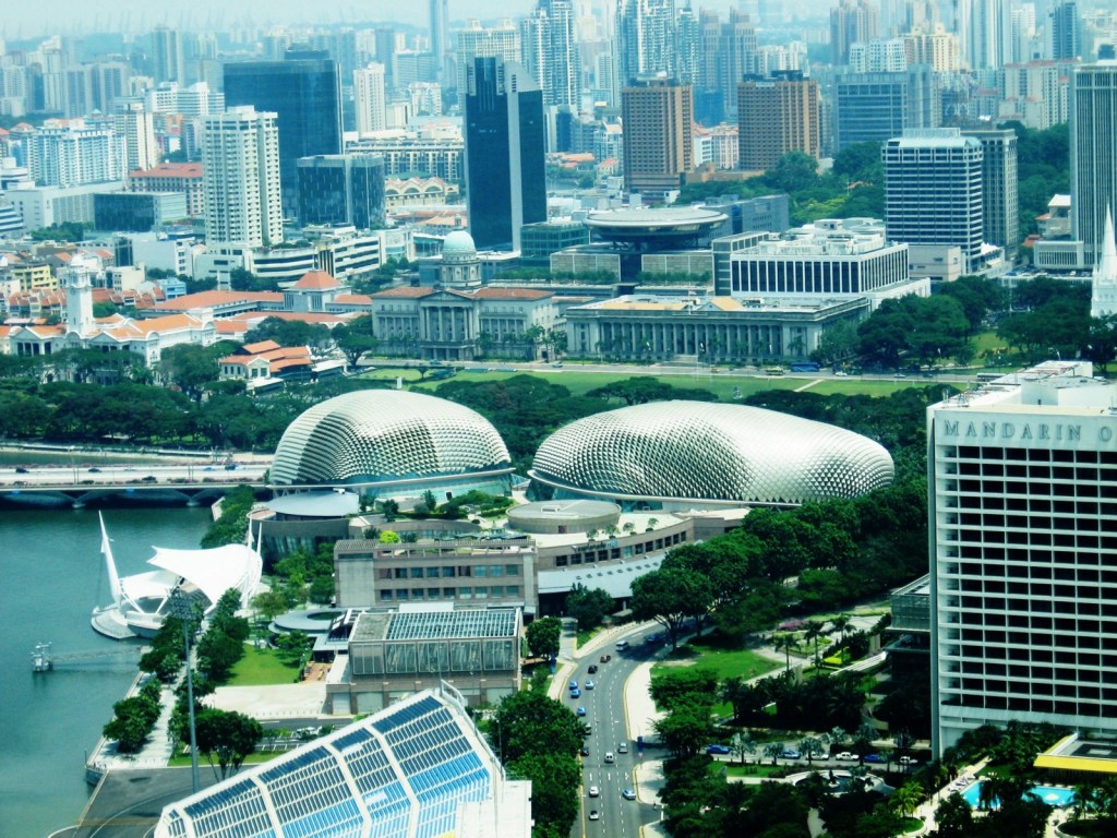
We also had great 360 degree views of the Marina Bay Golf Course, Marina Bay Sands Integrated Resort (under construction) and the Float at Marina Bay; the Esplanade (Singapore’s performing arts venue), the 280 m. high UOB Plaza One Building (1 of Singapore’s 3 highest buildings) and the Flyer Theater below.  Beyond, about 45 kms. (28 miles) out, are the Indonesian islands of Batam and Bintan, as well as Johor (Malaysia).

The Esplanade

The Flyer also afforded a great view of the Marina Bay Street Circuit of the Singapore Grand Prix (the first Formula One races were held last September 2008) as it is located beside the straight, between turns 21 and 22, and near the pit area.

Singapore Flyer: 30 Raffles Ave., Singapore 039803.  Tel: (+65) 6333 3311 and (+65) 6734 8829 (Corporate Office).  Fax: (+65) 6339 9167.  Website: www.singaporeflyer.com.  Open daily, 8:30 AM-10:30 PM. Visitors can take a free shuttle bus from City Hall MRT Station, which operates every half-hour to and from the Singapore Flyer.

Patapat Viaduct (Pagudpud, Ilocos Norte)

It was already very late in the afternoon when we proceeded, for some photo ops, at the 1.3-km. (0.81 mile) long Patapat Causeway Bridge near the border of Cagayan, a must-see for first time visitors to Pagudpud.  Here, the Cordillera Mountains ends, edging out the coastal plains and plunging into Pasaleng Bay.  

Patapat Viaduct

As there is no narrow coastal plain along this area to build a road, this bridge, instead hugs the mountainside nearest to the cliff and extends toward the sea.  This concrete coastal viaduct, connecting the Maharlika Highway, from Laoag City to the Cagayan Valley Region, is the 4th longest bridge in the country.  It rises 31 m. (102 ft.) above sea level and is located 16 kms. from the town proper.   

The dramatic landscape and seascape

Our drive here gave us a 360-degree view of the most magnificent and dramatic land and seascapes along the Philippine highway system.  Visitors sometimes toss coins into the coves and surf below to ensure safe travel. Along the cliff sides, cascades and mini-falls descend directly to the road side.

Pasaleng Bay

Upon our return to Saud Beach Resort, we went restaurant hopping along the beach, for a change of pace and cuisine, and settled for dinner at the restaurant of Terra Rika Beach & Dive Resort.  Come morning,  our last day at Pagudpud, I decided to burn some of my extra calories with an early morning stroll, prior to breakfast, at the beach to see its true length.  I hiked as far as Jalao Point and its small, modern lighthouse before turning back.  After breakfast, we all checked out of the resort and left Pagudpud by 11 AM.

Jalao Point


San Juanico Bridge (Tacloban City, Leyte)

After breakfast at the Filamor Residence, Grace, Jandy, Cheska and I, together with Manny, Paula, Mark, Nenette, Daddy, Mommy and Cheska’s new friend Kookie Bal left for our tour of Tacloban City.  We secured the services of a guide and a van at the Department of Tourism Region 8 office.  Our first destination was to be the San Juanico Bridge, the longest bridge in the country as well as Southeast Asia.   At the foot of the San Juanico Bridge is the 15-hectare, Japanese-funded multi-million peso National Maritime Polytechnic, a  merchant marine training school and the most modern graduate institution for seamen in Asia.  

Posing along the San Juanico Bridge
 
We finally made our way midway up the bridge and made a short stopover.  Here, we had a panoramic view of the San Juanico Strait, located between the islands of Leyte and Samar.  It is considered the narrowest but most navigable strait in the world.   The strait has a number of beautiful islets.     The San Juanico Bridge, which crosses this strait, is also called the Marcos Bridge.  Inaugurated on July 2, 1973 and located 10 kms. from Tacloban City, it is a major link in the 3,000-km. Pan-Philippine Highway.  
 
San Juanico Strait
 
This impressive S-shaped bridge, said to be the most beautifully designed bridge in the country, is 2,162.4 m. (7,092 ft.) long, 10.62 m. wide with 43 spans and towers 41 m. above the sea at its highest point.    The S-shaped structure on the Samar side had to be adopted to make use of the importance of the existing islet, the Cabalauan islet that lies in the middle of the strait.  This islet serves as resting point and provides added support to the massive structure soaring over the swift currents of the strait.