
Cowes
From the Nobbies Ocean Discovery Center, we again boarded our coach for the 15-km. drive, via the Ventnor Rd./C473, to Cowes, the main township and largest town on Phillip Island, for some sightseeing. Phillip Island Road, the main road of the island, led us into Cowes, becoming Thompson Avenue, the town’s main road.
Facing towards French Island and the Mornington Peninsula, Cowes has a small 2016 population of 4,839.
Check out “Phillip Island – Nobbies Ocean Discovery Center“
 Originally known as Mussel Rocks, it was renamed, in 1865, by government surveyor Henry Cox after the seaport town of Cowes on the Isle of Wight, England.
In fact, many of the town’s roads are named after other towns and villages on the Isle of Wight, the island that inspired Cowe’s as well as the town of Ventnor‘s names. A Post Office was opened here on August 1, 1869.
In recent years, Cowes, in the Gippsland region on the northern side of the island, has rapidly expanded in its size with many estates and apartments being built, on what was previously rural farmland, in and around the town. An estimated 70% of the houses here are owned by absentee owners, most of whom live in and around Melbourne.
An ideal base to explore Phillip Island’s many attractions, Cowes is 12 kms. from the famous Phillip Island Penguin Parade at Summerlands, 14 kms. from the scenic Nobbies rock formations and visitor center, 6 kms. from the Phillip island Grand Prix Circuit, 7 kms. from the Koala Conservation Centre and 9 kms. from the peaceful fishing village of Rhyll.
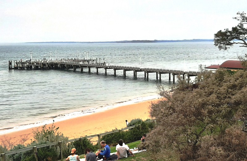
Cowes Beach
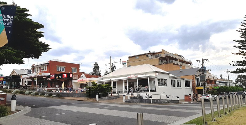
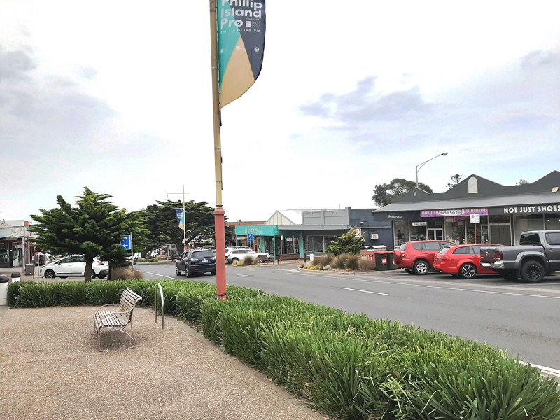
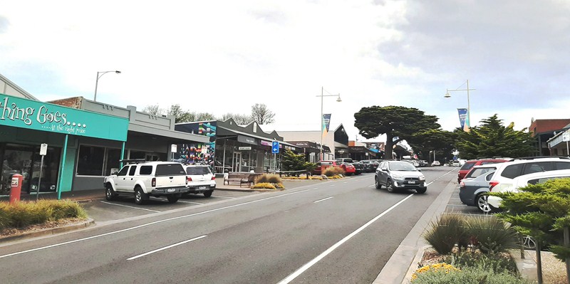
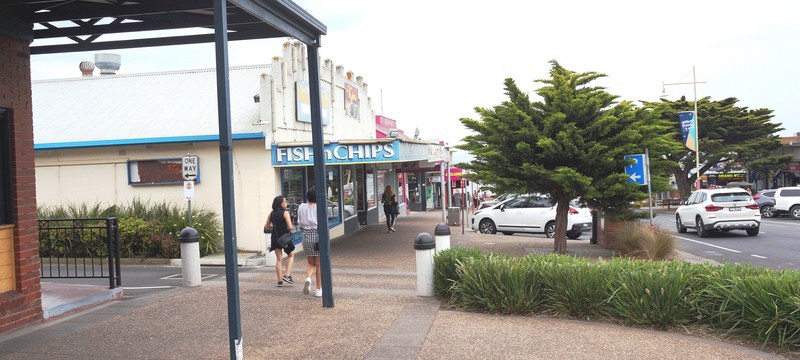
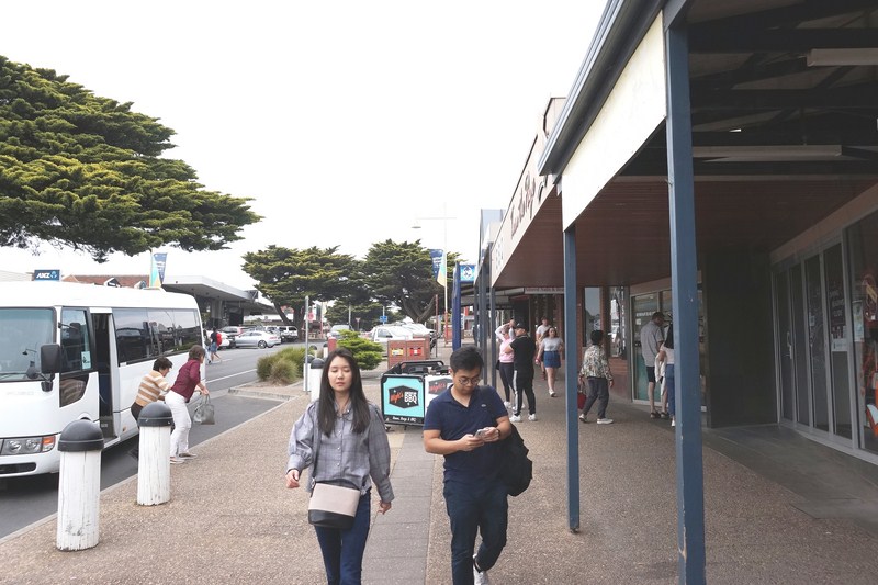
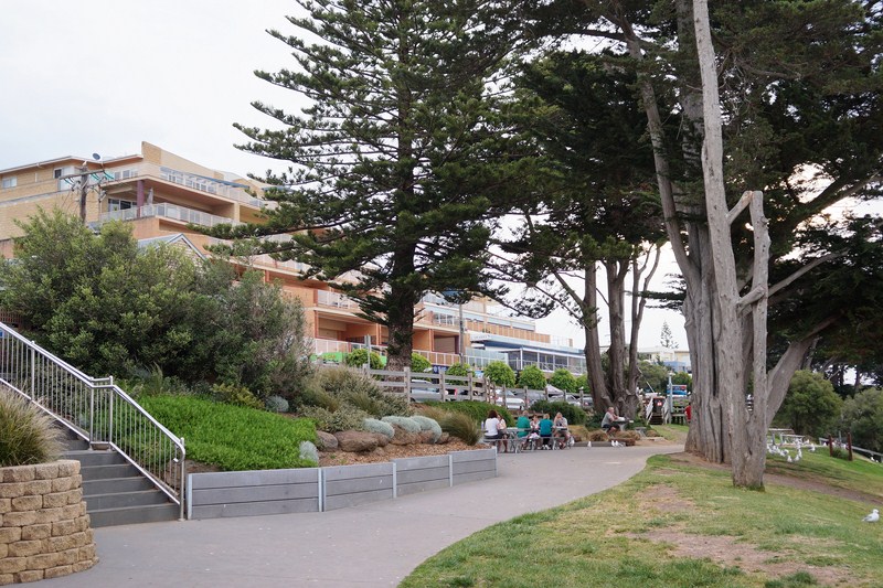
We were all dropped off at Thompson Avenue whose distinctive features are Golden Cypress trees (recognized by the National Trust of Australia), planted in the early 20th century, which lines the road for 1 km.
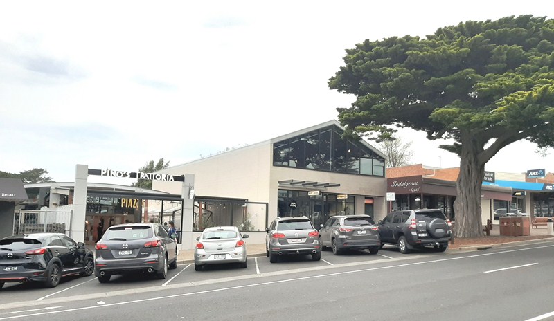
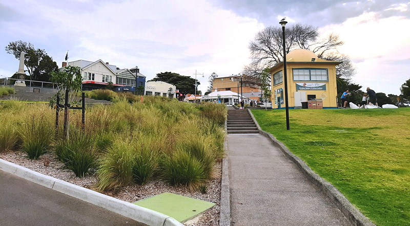
Walking further into commercial center of Cowes, the road began a gradual descent, terminating with a T-intersection at the waterfront. As we approached the waterfront, the density of restaurants, cafes, gift shops, hotels, supermarkets and general retail outlets, all catering to the busy holiday crowds, increased.
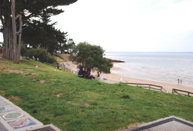
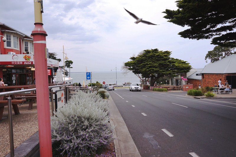
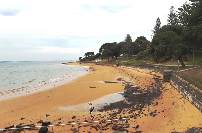
At the end of Thompson Avenue was the waterfront boulevard of The Esplanade and the attractive, not too crowded and well maintained Cowes foreshore which stretches between Mussel Rocks and Erehwon Point.
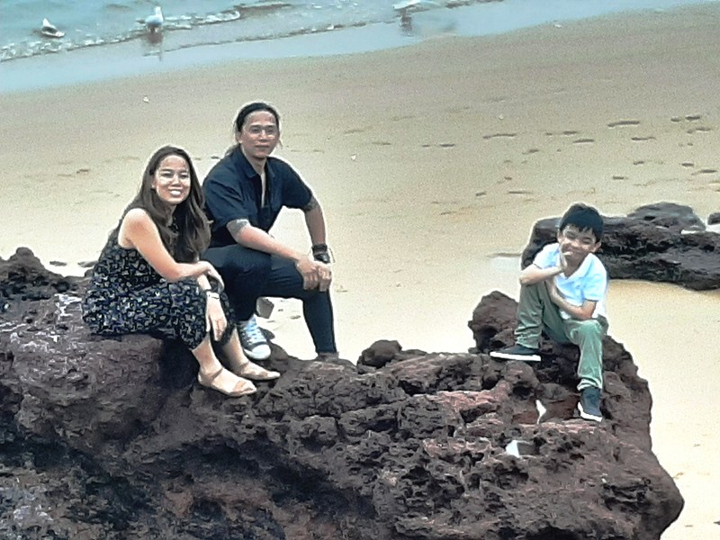
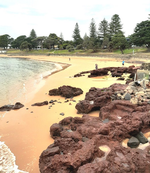
Cheska, Bryan and Kyle among the rock formations of Cowes Beach
The foreshore, consisting of wide expanses of lawn shaded by a mixture of native and cypress trees, complete with barbecue areas, picnic shelters and pathways, slopes down to the clean, sheltered, golden sand Cowes Beach whose inviting waters are popular with swimmers and families. Showers, changing rooms and toilets are all located close to the beach.
Nearby is the Cowes War Memorial, a granite memorial obelisk erected in 1920 in memory of the 13 men of Phillip Island who made the supreme sacrifice in World War One. Names of the fallen from World War Two were added at a later date.
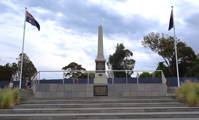
War Memorial
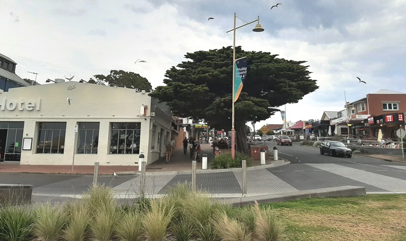
On the beach, opposite the Isle of Wight Hotel (which was built in 1870), is the Cowes Jetty.
Cowes Jetty
Built in 1870, it remains a focal point of the town. At its entrance is an outdoor café.
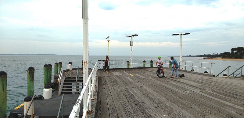
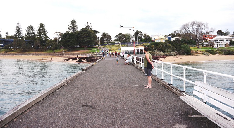
Its T-shaped jetty structure, the departure point for several ferries and tourist boat cruises, is also suitable for fishing.
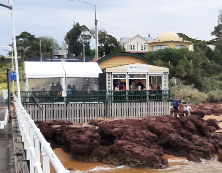
Outdoor Cafe
Cowes: Phillip Island, Victoria, Australia.
How to Get There: Cowes is about a 2 hours’ drive, by road to the mainland via a bridge at San Remo, from Melbourne and can also be reached by coach, or passenger ferry from Stony Point on the Mornington Peninsula.
Pingback: Phillip Island – Penguin Parade Visitor Center (Melbourne, Australia) – B.L.A.S.T. – Live Life to the Fullest ……… Don't Stay Put