From Martha Island, our boatmen brought us over to Governor’s Island for a brief stopover, One of 3 developed islands in this mini-archipelago (the others are Quezon Island and Children’s Island), it has a governor’s guesthouse with 2 bedrooms for 6-8 people, living room, dining room, toilet and bath, kitchen (with dining and cooking utensils provided for), ceiling fans and generator lighting. It also has 2-pax nipa huts and camping is also allowed here.
 |
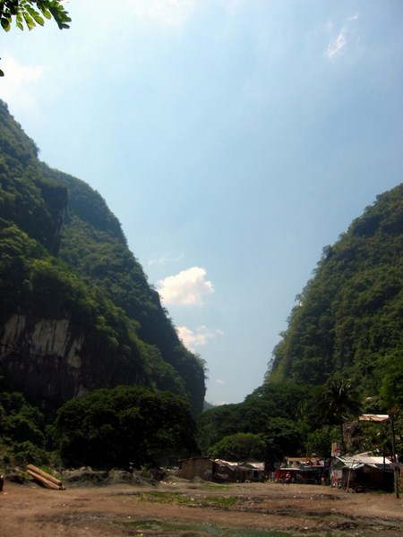
| The viewpoint of Governor’s Island |
There are white sand beaches on both sides of the island. From the beach, we a short hike up some carved steps that lead to the island highest point. At this viewpoint, we had an unobstructed panoramic view of the many granite and scrub-covered islands that compose this national park. After some photo ops, we made our way back down the hill. Back at our boat, we were finally brought back to Lucap Wharf. After paying our boatmen, we had our first freshwater shower at the complex, loaded our gear at our car, had lunch and proceeded on our way to Bolinao.