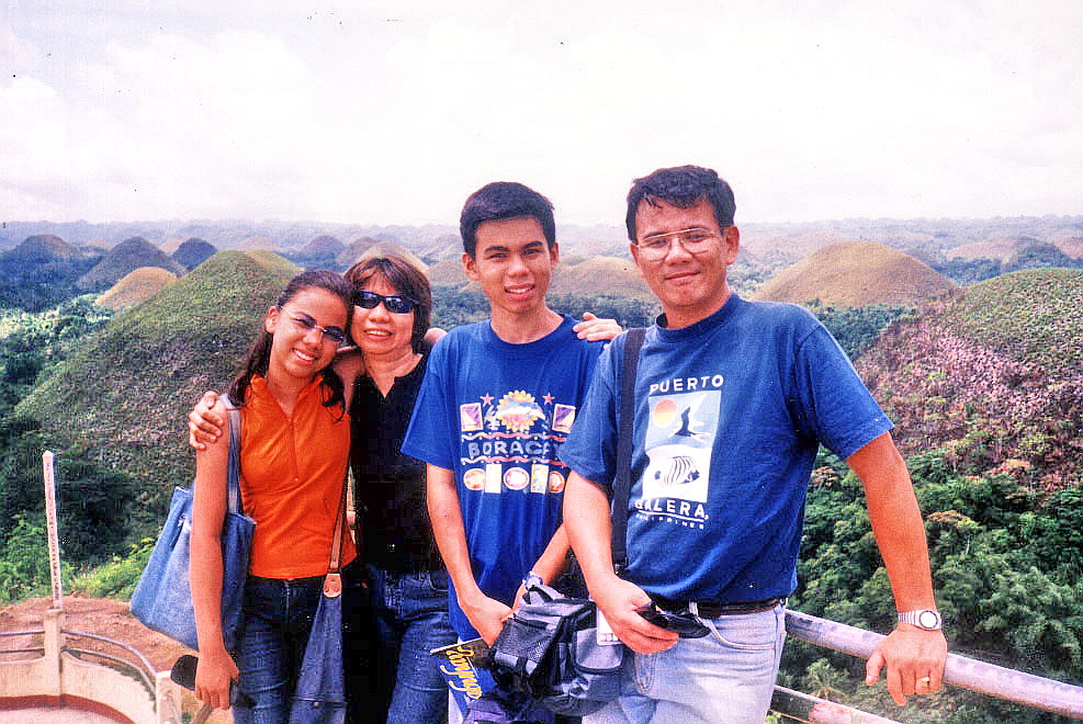
We arrived at the touristy Saud White Beach, along clear, tranquil and palm-lined Bangui Bay by 6 PM. The beach is home to a number of resorts and we were to stay 2 nights at the upscale Saud Beach Resort and Hotel. We were the first to arrive at resort, the others arriving much later as they made a stopover at Cape Bojeador Lighthouse in Burgos. These were anxious moments as I couldn’t contact their Globe mobile phones. The beach was definitely Smart country. Upon their arrival, we all checked in at airconditioned rooms with bath, cable TV and fridge.
 |
| Saud White Beach |
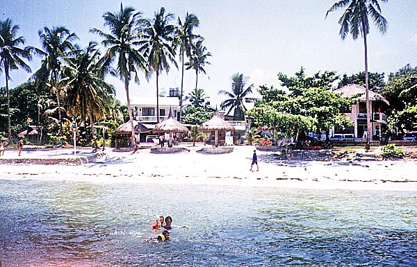
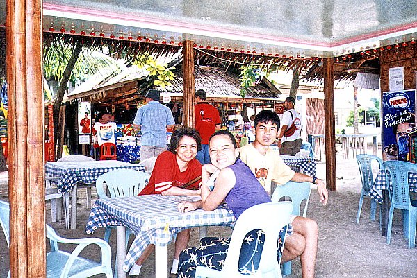
Pagudpud, called the “Paradise of the North,” is reputed to have the longest, continuous white sand beach in the country. Though not as gently sloping as Boracay’s White Beach, Saud White Beach has offshore coral beds and, unlike Boracay, an occasionally moderate to high surf ideal for water sports activities such as surfing. Beach volleyball is also a favorite activity here. Most of our stay, however, was spent picnicking, eating, siestas and swimming.
 |
| Saud Beach Resort & Hotel |
During lunch the next day, we were reminded that we were in Marcos country as joining us at an adjoining table at the restaurant, as guests of town mayor and resort owner Reynolan Sales, were Ms. Irene Marcos-Araneta, her husband Greggy, their kids and their usual bevy of security men.
Saud Beach Resort & Hotel: Saud White Beach, Pagudpud, Ilocos Norte. Manila booking office: 94 Katipunan Rd., White Plains, Quezon City. Tel: (632) 921-2856 and (632) 928-9853. E-mail: inquiries@saudbeachresort.com and reservations@saudbeachresort.com. Website: www.saudbeachresort.com.