
 |
| Pointing to heaven |
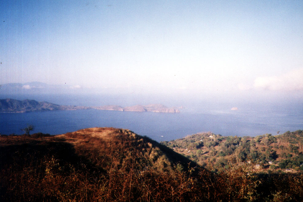
Finally, we were cleansed enough to climb up Sto. Kalbaryo (Durungawan II to mountaineers), a bare, lava rock-filled mountain located just below Mt. Cristobal. The highest mountain in Complex 1, it is so called because, during Holy Week, hundreds of pilgrims trace Christ’s supposed ascent from Dolores to the summit, re-enacting Christ’s passion and death. We were to do ours two weeks early. The hot afternoon sun was still shining brightly up in the sky as we clambered our way, thirsty and sweating profusely, through a well-marked trail, up the treeless and rocky mountain.
 |
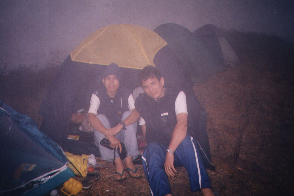
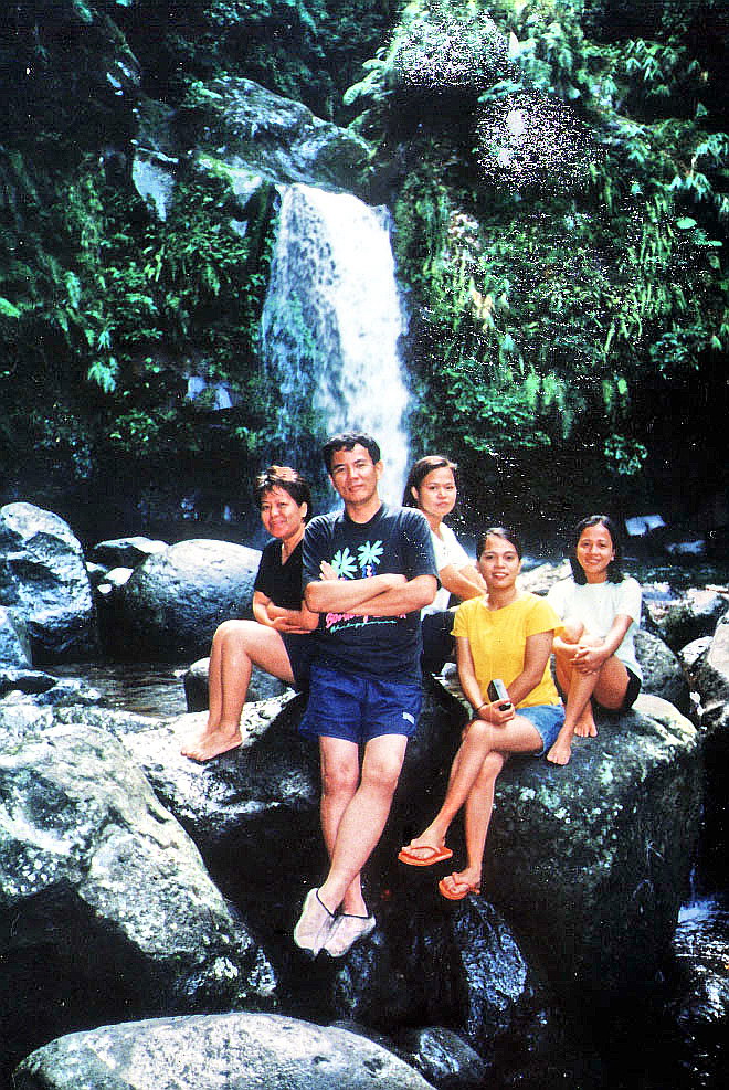
| The author with Rob and Ely |
Throughout my trek, I also felt the mystique and magic of Mt. Banahaw and Mt. Cristobal around me, more so when we reached the top where 3 wooden crosses were strategically planted to recreate the actual crucifixion scene. By tradition, on Good Friday, the summit is deserted, as mystics believe that only God the Father may bear witness to His Son’s death. It is also said that on that same day, an enkanto (spirit) opens a hidden cave near the crosses which acts as a pathway to the netherworld. Anyone at the summit, at this time, will be forced to enter it and never return. Reaching the summit of a mountain was a first for many of my companions. For me, it brought me 2,400 ft. nearer to Heaven and my Creator. Thus, it was with deep regret and a heavy heart that I had to make the shorter but more difficult descent down the mountain and back to earth. For me, my climb up that mountain has been well worth it as this most jaded of travelers has left it purer in heart.
Lakbay Kalikasan: G/F Balai Lakbay, 2 Alondras St., Mira-Nila Homes, Tandang Sora Ave., Quezon City, Metro Manila. Tel: (632) 932-7818 to 19. Mobile number: (0917) 500-4796. Website: www.lakbaykalikasan.com.


.jpg)


.jpg)


