The 47-km. jeepney ride from Bontoc to Banaue, Ifugao province’s main tourism destination, was to take all of 2.5 hrs., the seemingly short distance made while climbing steep mountains via the dusty, narrow and bumpy Halsema Highway. The discomfort was somehow alleviated by great views of some rice terraces that we passed. By 4 PM, we arrived at the parking area for buses and jeepneys at the town’s Trade Center. Banaue is the province’s transportation hub, being traversed by the one major highway leading south to Nueva Vizcaya and Manila and by a less-developed road going to Bontoc (Mountain Province), and from there, to Baguio City (Benguet).
 |
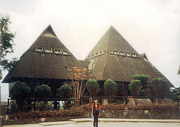
| Banaue town |
This touristy area is the center of activity in the town and it has handicraft shops selling different kinds of traditional fabric like the woven bark cloth and dyed ikat cloth, wooden objets d’art such as bowls, trays, oversized spoons and forks, antiques, entirely alien statues of American Indian chiefs and smiling, pot-bellied Chinese gods, and the traditional bul-ols (statues of rice gods). Curio souvenirs include handwoven wall hangings, crocheted bedroom slippers and pfu-ong (traditional jewelry) representing good luck in hunting or prosperity of children. At one end of it is the Municipal Hall and Post Office Sub-station.