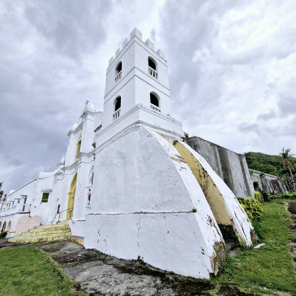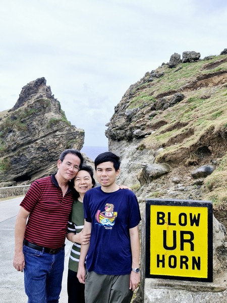
The Last Regnant Leisure Hub
After our visit to the Nascent Textile Fiber Innovation Hub, in the municipality of Benito Soliven, we made a long, 1.5-hour (57.2-km.) drive to The Last Regnant Leisure Hub in San Manuel, the biggest resort in Isabela. Upon arrival, we dined at the Arabic-themed Baba Leo’s whose hearty Middle Eastern menu includes Mixed Grill Biryani, Kabsa Chicken and Makbhoos Chicken.
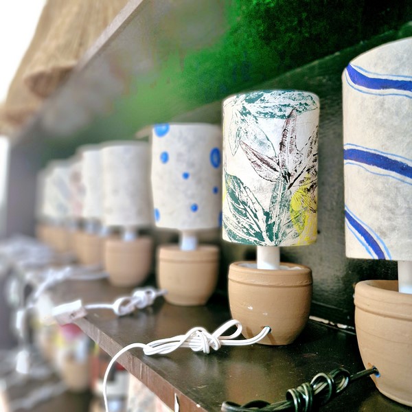
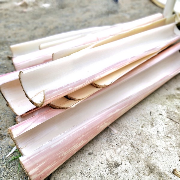
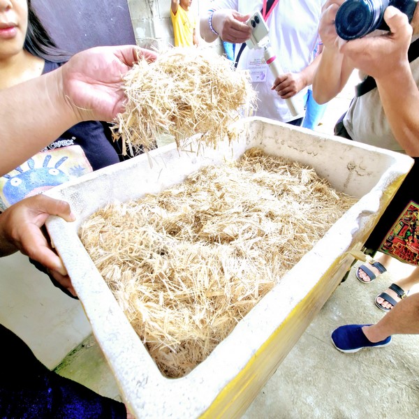
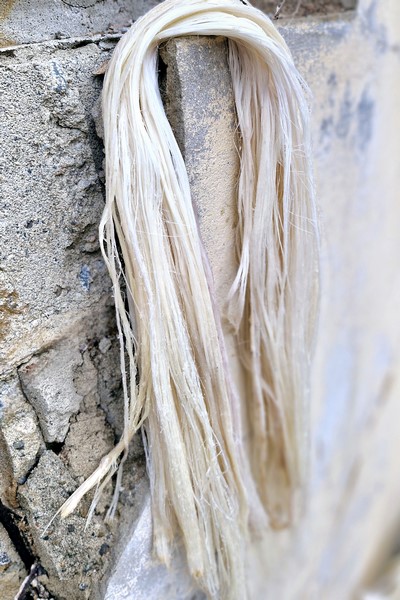
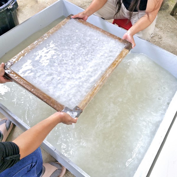
Check out “Nascent Textile Fiber Innovation Hub”
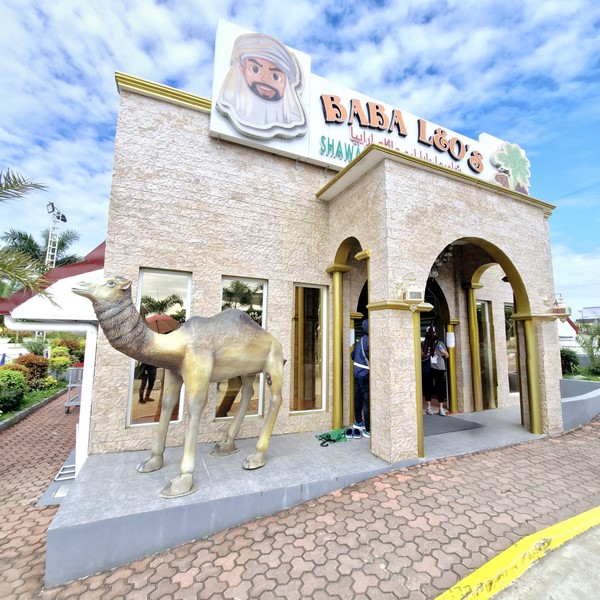
Baba Leo’s
They also feature a remarkable selection of dishes that showcase traditional Filipino culinary heritage with a twist. It includes Pancit sa Bilao, Sinigang na Salmon head sa Miso, Bangus Ala Pobre, Arroz Caldo (a soupy rice chicken broth), Calamares (a Mediterranean breaded fried squid dish), Chicken Inasal, crispy Fried Chicken Lumpiang Shanghai (spring rolls) and sizzling hot griddled Pusit. Desserts include coffee jelly, buko pandan and leche flan. Outside food isn’t permitted.
After lunch, we toured this stunning, 4.4-hectare state-of-the-art facility. Owned by Mr. and Mrs. Juvito and Lucita Sermonia (fondly known as Sir Jun and Madam Luz), it is a slice of paradise that combines the natural beauty of the country with unparalleled comfort via an array of outdoor recreational activities and engaging scenic spots. Its plethora of activities and attractions includes a zoo, gardens, 3 playgrounds, a dance hall, an outdoor park and refreshing swimming pools. You can go around the resort via their free shuttle service.
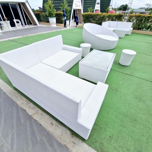
The Tent
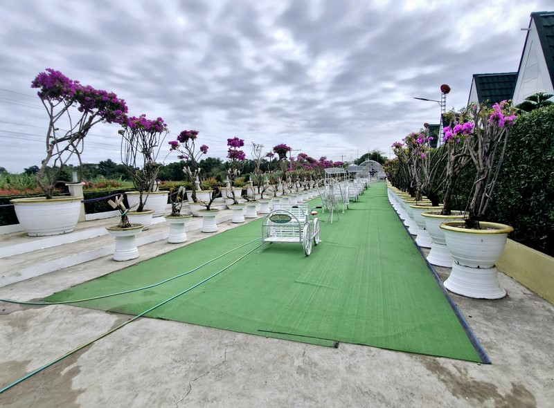
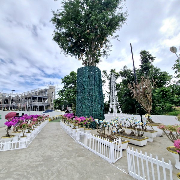
Plant enthusiasts will enjoy and be captivated by the greenhouse with beautiful and colorful orchids and vibrant anthuriums (with flamingo flowers in shades of pink, orange, red, green, salmon and yellow). The Bougainvillea Garden Park, at the resort’s upper area, near the zoo, showcases dazzling, evergreen bonsai bougainvillea trees with their colorful bracts and paper-thin petals.
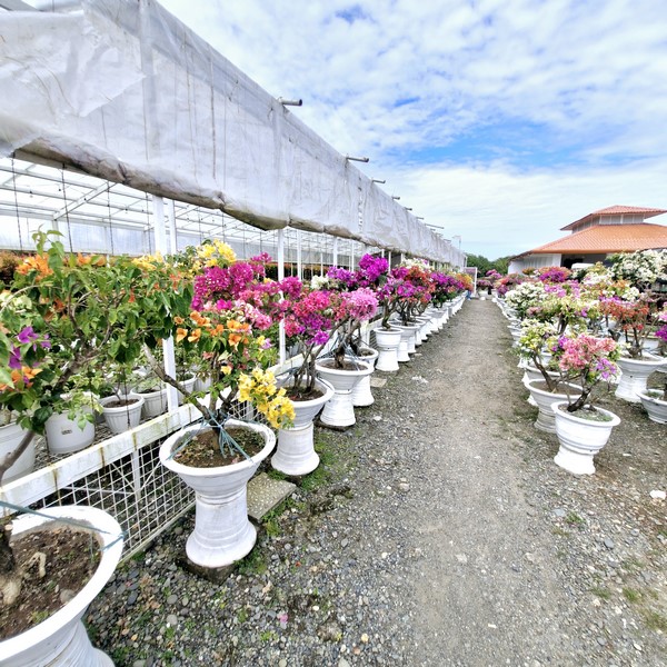
Bougainvilla Garden Park
Affordable and diverse food stalls, serving various cuisines, include the Snack House for savory treats; Drinks House for refreshing smoothies; the BBQ Smoke & Grill for tasty grilled barbecues, and Mama’s Lechon Manok for a local specialty.
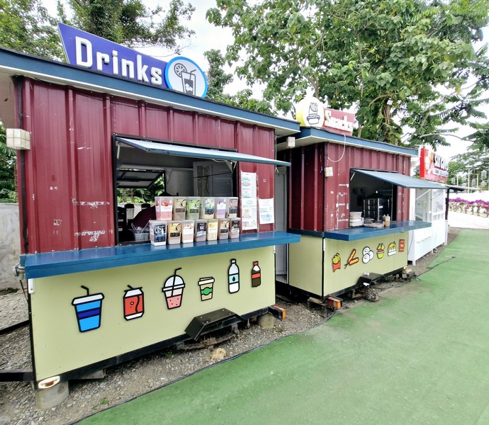
Snack Bars
You can also enjoy the highly sought-after, Starbucks-like Ethiopian coffee, renowned for its rich aroma and flavor, paired with delectable cakes and pastries. At the Pasalubong House, you can pick up special local food and items as gifts for loved ones back home.
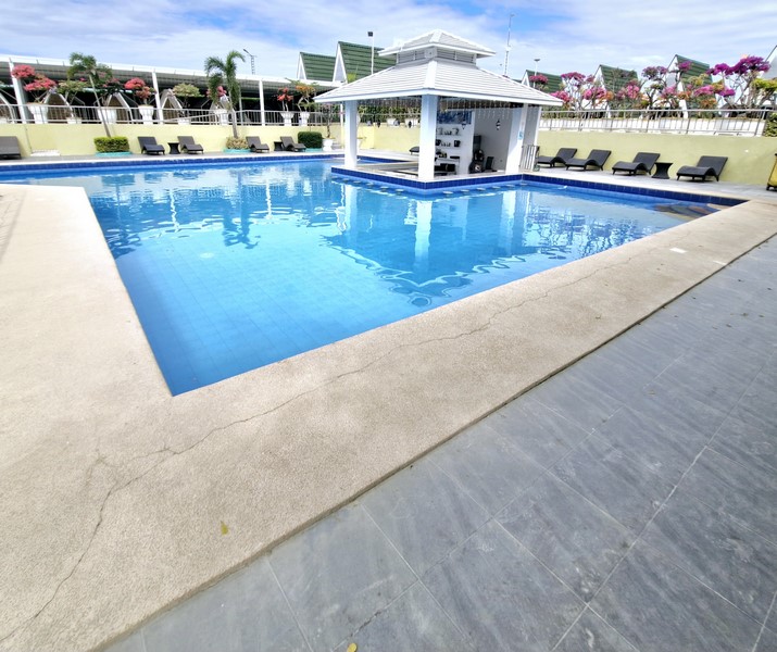
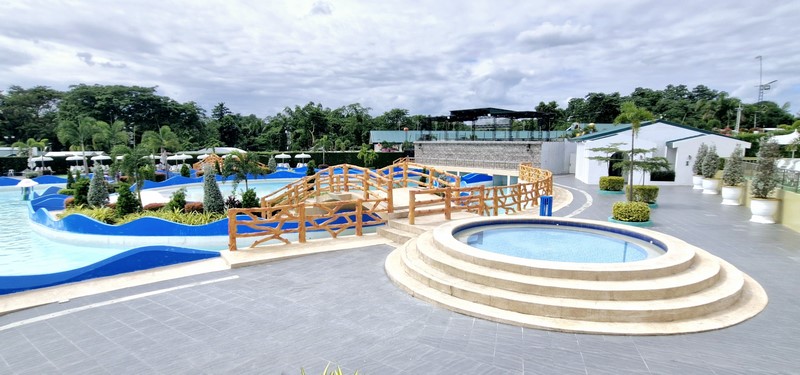
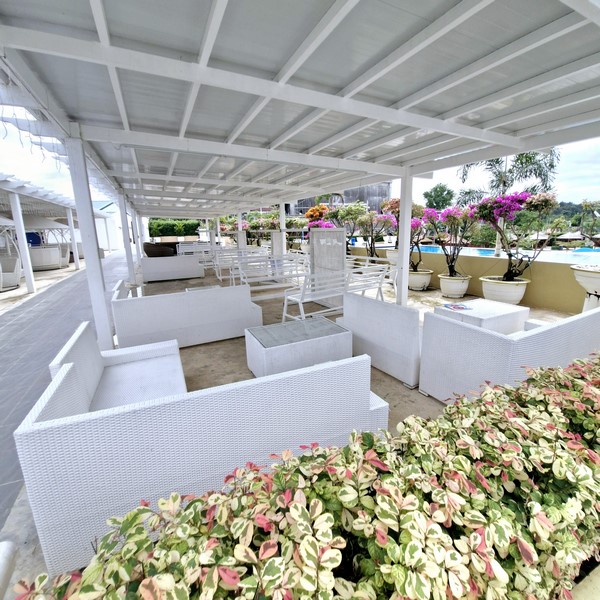
Swimming Pool with Pool Bar
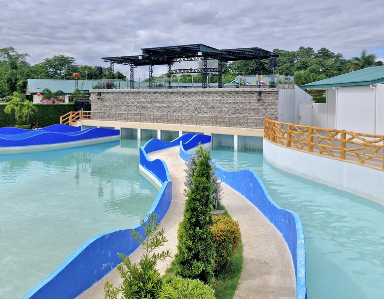
Wave Pool
The Zoo Park, up a hill, is an animal kingdom that houses various animals like monkeys, rabbits, peacocks, ostriches, Brahma chickens, lions, deer, fancy ducks, parrots, love birds, gold fishes, turtles, alligators, pythons, wild ducks, monitor lizards, and a horse.

Swimming pool with water slides
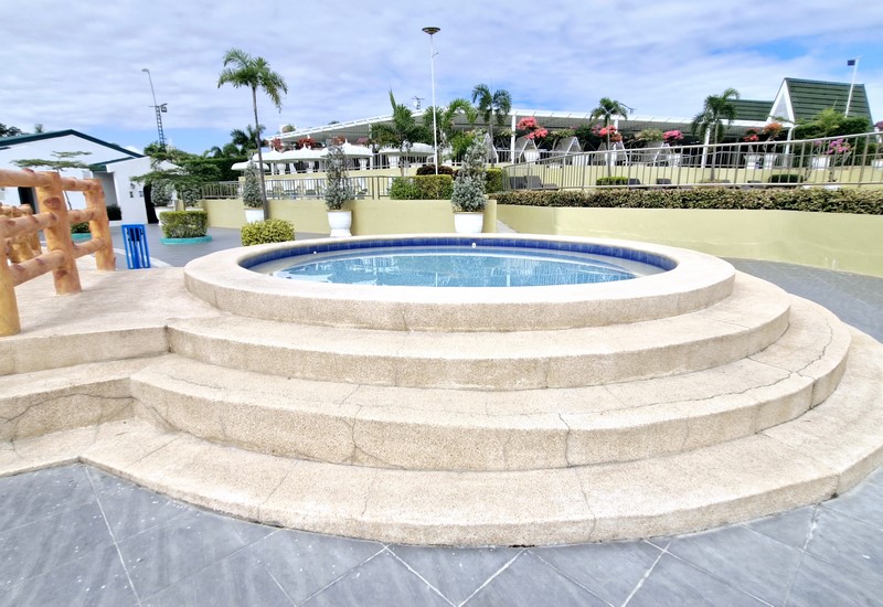
Jacuzzi
You can dive into the crystal-clear waters of the Water Pool Park which features a magnificent wave pool, infinity pool, pool slides, two jacuzzis, and a pool bar, a place to relax with a drink while enjoying the views.
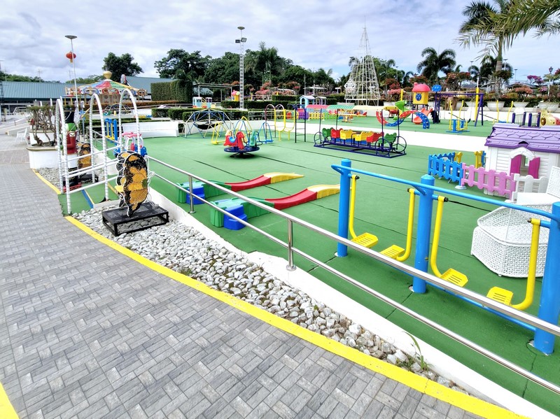
Children’s Playground
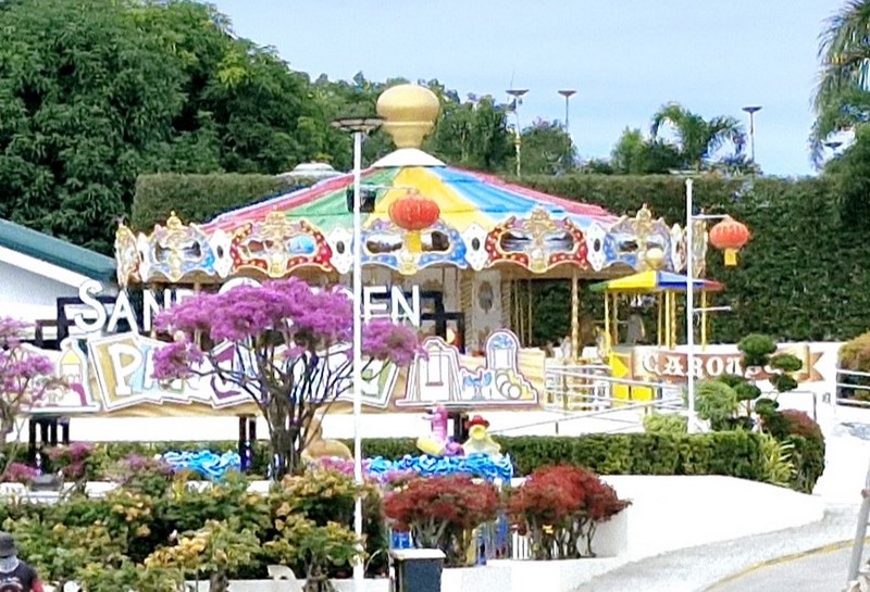
Carousel
The Tent, an organized, high-end events space, is open for all celebratory activities and commemorations. Esplanade, scenic and enchanting boulevard, is a wonderful spot for photographs. For accommodations, you can stay at the A-frame Grand Cabana.
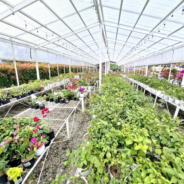
Greenhouse
The Kid’s Place features miniature versions of a Princess’ House, Market, Shipyard, Bread House, Hair Cut Salon, School, Police Station, Kitchen, Fire Station, and more. There’s also a safe and natural Sand Garden Playground and a brightly colored, appealing merry-go-round carousel for both children and adults to enjoy.
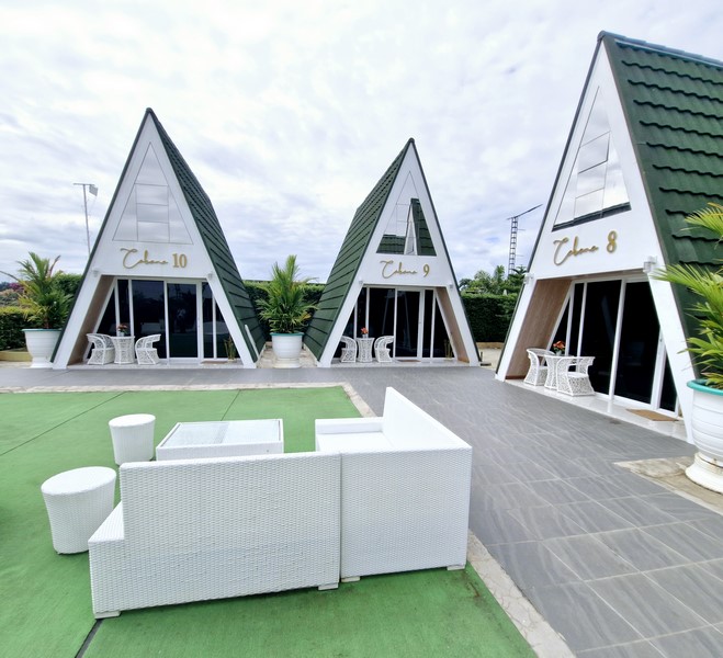
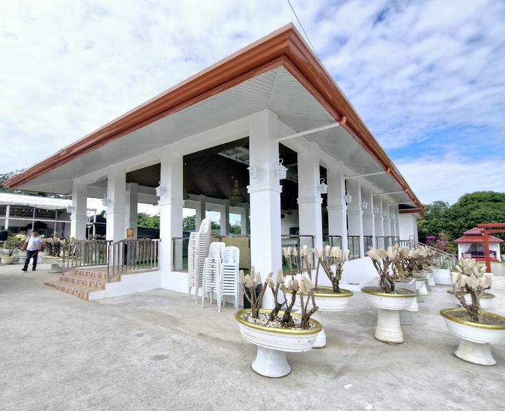
Grand Cabanas
The Arcade Zone, a place for amusement and entertainment, offering games such as the Ocean Train Truck, Jewel Carnival, Air Hockey, Cooking Fever, Nintendo, Storm Rider, Speed Drive, Dance Central, Starlet Shooter, Jumping Union, and Pink Date. Winning games earns you tickets which can be exchanged for special items at the counter.
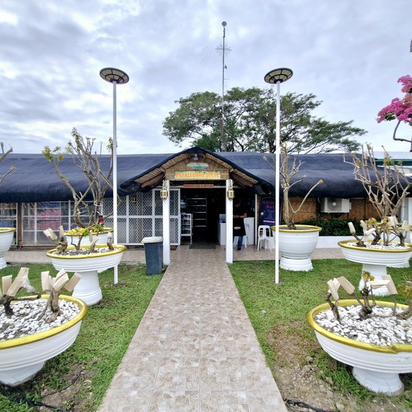
Pasalubong House
Last Regnant Leisure Hub: Purok 4, Brgy. Sta. Cruz, San Manuel, 3317 Isabela. Mobile number: (0999) 225-0960 (Rex delos Reyes). E-mail: lastregnantleisurehub@gmail.com. Entrance: Php50.
Rates:
Swimming Pool: Php125 (children), Php150 (adults)
Cottage Rental: PhP250 to 450 per cottage.
How to Get There: A 10-minute drive from the main highway, you can either take the road to Sta. Cruz, bypassing the Mananao road, or choose the main route passing through 7-Eleven enroute to Sta. Cruz.