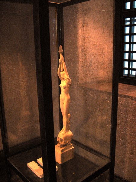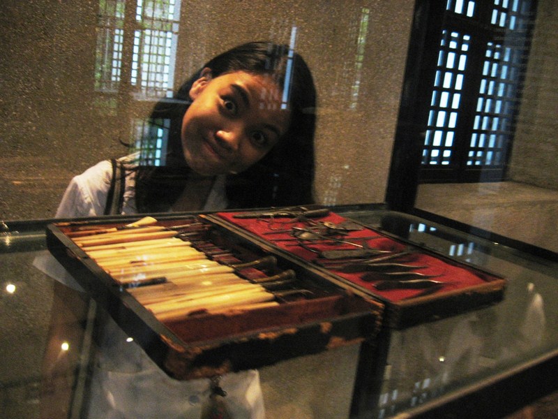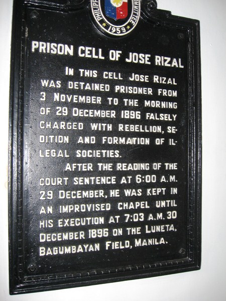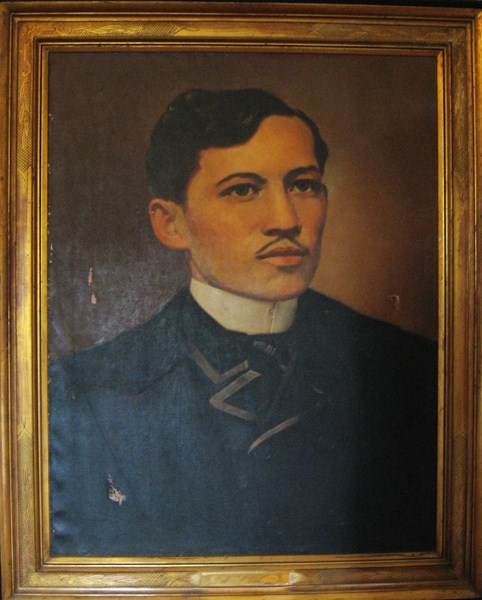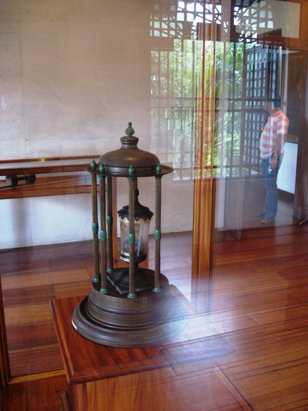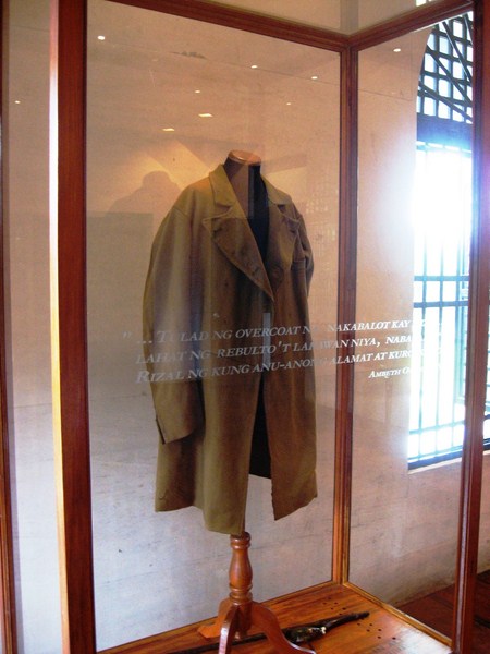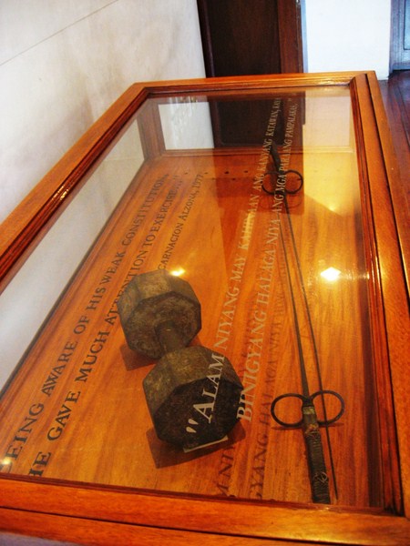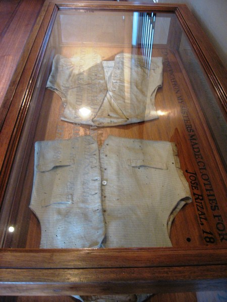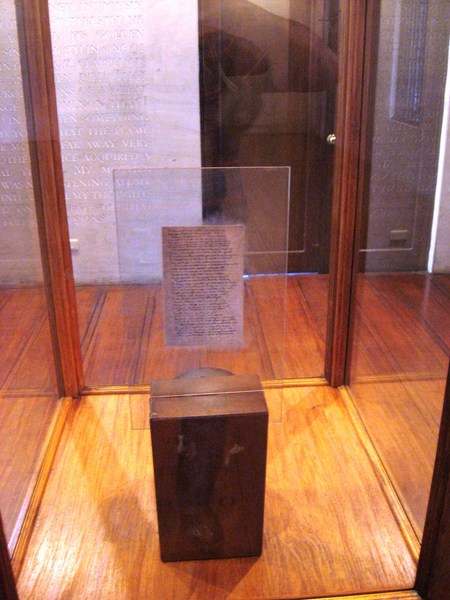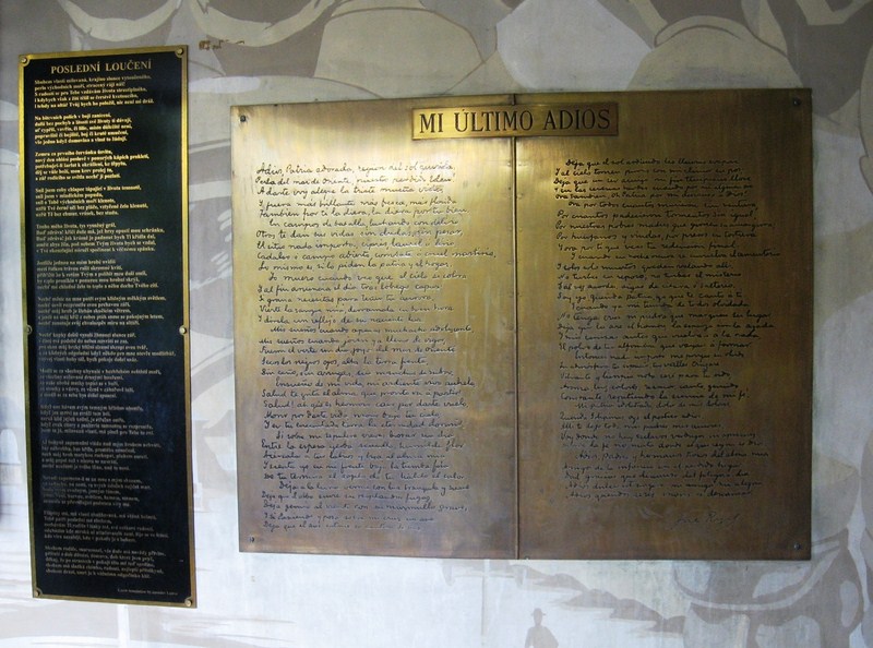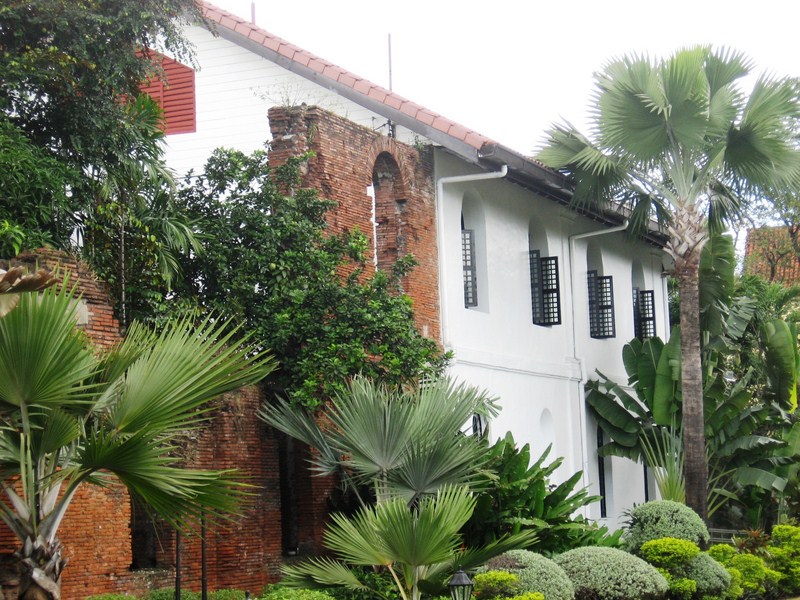
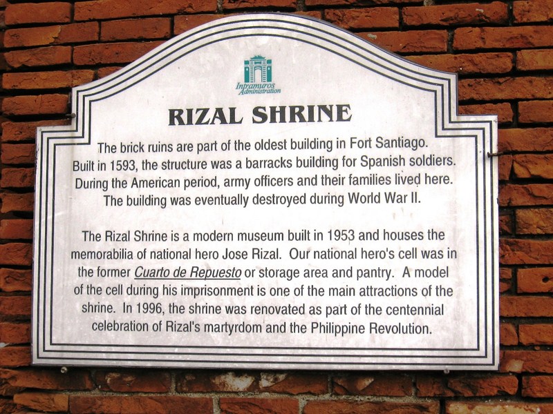
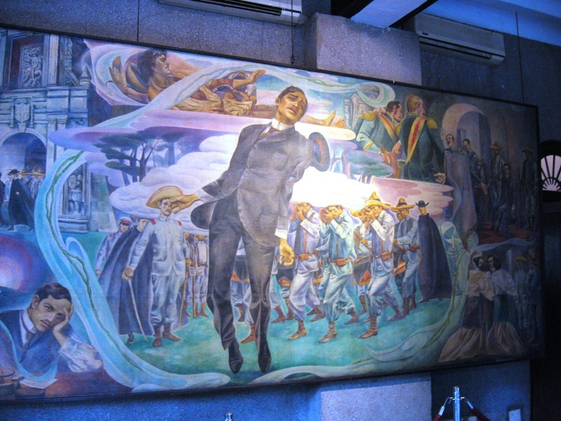
National Hero Jose Rizal was imprisoned in an improvised “chapel cell” on one corner of its ground floor at the fort’s eastern side. Here, he was held for two months prior to his execution (November 3 to December 29, 1896) when his sentence was read at 6 A.M.. He also wrote his “Mi Ultimo Adios” (“My Last Farewell”) in this cell. As a prisoner condemned to death, he was moved into this church-like setting for spiritual contemplation. He was never confined in a dungeon unlike captured Katipunan members.
Category Archives: Historical Sites
Stotsenberg Parade Grounds (Clark Field, Pampanga)
When one mentions Clark Field in Pampanga, the first thing that comes in most peoples’ minds is duty-free shopping. Having booked ourselves for an overnight stay at Hotel Vida, we also did that, doing some shopping at Puregold. However, there’s more to Clark than just duty-free shopping. For one, there’s history.
| Stotsenberg Parade Grounds |
Lots of history exists around the Stotsenberg Parade Grounds. Large houses called “barns,” built with Oregon pine shipped from the U.S. and used as officers’ quarters, are arranged in a row along the grounds. Built from 1910-1913 at a cost of US$1,309.9 each by Filipino, Chinese and Japanese laborers, they were the first permanent structures in Fort Stotsenberg (named after Col. John W. Stotsenberg, killed in the Battle of Quingua, Bulacan on April 23, 1899), the forerunner of Clark Field (renamed as such in 1919 after Army aviator Maj. Harold M. Clark who was killed in an air crash in the Panama Canal).
| CDC Exhibition of Kapampangan Crafts |
Over the years, until 1922, hundreds of these barns were built but, by the mid 1980s, most of these barn houses were demolished. Those along Cardinal Santos Ave., now called the Centennial Block, are all that remain. The huge, shady and century-old acacia (monkey pod) trees in the area were planted in 1903.
| Centennial House: Lifestyle in Stotsenberg Museum |
Many of theses barn houses have undergone adaptive reuse. One barn house, Bldg. 2081, houses the Mabalacat Municipal Tourism Office. Another houses the Clark Development Corp. (CDC) Exhibition of Kapampangan Crafts. A number also house restaurants such as Cafe Mesa Coffee Shop and Bar (Bldg. 2078) and Red Crab Alimango House (Bldg. 2078). Another houses a museum (Centennial House Lifestyle in Stotsenberg Museum).
| Cafe Mesa Coffee Shop and Bar |
The Death Place of Roxas Marker, directly across the street from the CDC office, close to the Philippine flag, was built in memory of the Philippine president Manuel A. Roxas who, upon the invitation by the U.S. 13th Air Force commander, came to see for himself the massive reconstruction and rehabilitation work in war-damaged Clark on April 15, 1948. That same, while delivering a speech at Kelly Theater, he suffered a heart attack and died.
| Death Place of Roxas Marker |
At the western edge of Stotsenberg Parade Grounds is the 26th Cavalry Memorial which commemorates the men of the 26th Cavalry Philippine Scounts, U.S. Army, who died during their heroic action at Lingayen (Pangasinan) in 1941. Next to it is the U.S. Army Air Corps and Philippine Air Force Monument which details the joint participation of the Philippine and American military forces
| 26th Cavalry Monument |
| US and Philippine Air Corps Monument |
Cafe Mesa Coffee Shop and Bar: Cardinal Santos Ave., Clark Special Economic Zone, Pampanga. Tel: (045) 499-0694.
Camp John Hay – Historical Core (Baguio City, Benguet)
After lunch at the Philippine Military Academy (PMA) cafeteria, Jandy and I again boarded our Toyota Revo and proceeded to Camp John Hay. This attractive, quiet place, with views of the surrounding hills, always offers an abundance of rest and recreation activities such as hikes along a 1.8-km. eco-trail; biking, horseback riding and kiddie rides at Scout Hill; camping, an educational tour of the Butterfly Sanctuary; and golf at its 5,330-yard, 18-hole, par-68 golf course, one of the best in the country.
| Club John Hay Golf Course |
The Camp John Hay Mile-Hi Center, a former recreation center of the Americans, offers local and exported crafts and garments. Within the CJH Commercial Mall, located at the former Administration Bldg., is the John Hay Commissary (a duty-free shop), Strumms, Dencio’s Bar and Grill, Side Bar and Nike Stadium, plus a billiards hall, business center and an internet cafe. There’s also the Camp John Hay Manor and the Camp John Hay Suites, nice places to stay within the camp.
| John Hay Manor |
A 3-hectare slice of nostalgia within the camp, called the Historical Core, my favorite spot then and now, has been set aside to preserve the camp’s timelessness and allure. Deemed inviolate to the whims and winds of change, this living museum was envisioned as more than just a window on time. It consists of the Bell Amphitheater, the History Trail, Honeymoon Lodge, Our Secret Garden, the Cemetery of Negativism and Bell House.
| Cemetery of Negativism |
Near the entrance is the Cemetery of Negativism, built during the term of camp commander Maj. John Hightower (1979-1982). A glimpse into the homespun American philosophy of living, here we strolled among the tombstones where bad habits and the scourge of productivity are buried, its touch of whimsy doing little to negate the truth of its message. Among them are the inept Kant du Nutin Wright, the defeatist Ben Trid Bfor and the notorious General Neg A. Tivism (whose epitaph reads “Died of positive reaction to enthusiasm”).
| Bell House (Camp John Hay Museum) |
The Bell House, now the Camp John Hay Museum (opened on October 25, 2003), was named after U.S. Gen. J. Franklin Bell. Initially built as the vacation home of the Commanding General, today it is the repository of artifacts and other indoor exhibits.
| Bell Amphitheater |
Personally designed by Gen. Bell who took inspiration from the Ifugao’s terracing technique, the amphitheater was once a venue for social and cultural gatherings known for its perfect acoustics. Anything said under the gazebo at the center is amplified, audible from any point within the amphitheater. Its rows of chairs have since been replaced and it is now a multi-level landscaped garden with rare flowers. The amphitheater is now available for concerts, weddings and other special occasions.
| The History Trail |
The History Trail, designed to wind its way amidst pine trees, offers landscaped resting areas. Our Secret Garden is planted to blooms that add a splash of color and scents. It also has a gazebo. The Honeymoon Cottage is rented out to newlyweds.
San Agustin Church (Manila)
Francis and Vicky Dionela, our balikbayan relatives, from Vienna, Austria, were in town and my brother-in-law Mark and I toured them around Intramuros, availing of a calesa to do so. Joining us were Mark’s sons Miguel and Matthew. The first stop in our calesa tour was the San Agustin Church. I have been inside this church a couple of times, notably during the wedding of the former Susan O. Bilog, my wife’s first cousin, to Alfredo Azarcon on January 31, 2001. However, this was my opportunity to explore it in detail. During our visit, the church was again being prepared for another wedding.
| San Agustin Church |
| The adjacent San Agustin Museum |
| Corridors leading to the San Agustin Museum |
| TheProto-Baroque molave main door |
| The church interior |
| The tromp-l’oeil ceiling |
| The pulpit |
| The main altar |
| A side altar |
| Another side altar |
Baybay City (Leyte)
After breakfast at Bahia Coffee Shop, I was picked up at the Hotel Don Felipe lobby by Mr. Doods Alcaraz, a medical representative requested by my sister-in-law Paula to drive me to Maasin City where I was to do map updating for United Tourist Promotions (makers of EZ Maps). We used Dood’s car for this purpose. We left Ormoc City by 8:30 AM. The Maharlika Highway, though concreted, was pockmarked with cracks and potholes and first time drivers along this route would have to drive with caution. Doods, however, frequently plied this route and knew it like the palm of his hand.
![]() |
| Baybay City Hall |
After 46 kms., past the town of Albuera, we made our first stopover for merienda at a Jollibee outlet at the new component city of Baybay (it became such by virtue of Republic Act No. 9389 and was ratified by a plebiscite held on June 16, 2007) on the central west coast of Leyte where ferries leave for Cebu and the other islands. This wasn’t my first visit to the city as its port was our jump-off point for our April 22, 2000 visit to the Cuatro Islas (under the jurisdiction of Inopacan).
![]() |
| Baybay Port |
On November 18, 2008, the Supreme Court struck down Baybay’s cityhood law, making Baybay a municipality again. On December 22, 2009, acting on the appeal of the so-called “League of 16 Cities” (of which Baybay is a part of), the Supreme Court reversed its earlier ruling but, on August 24, 2010, again reinstated its 2008 decision. On February 15, 2011, the Supreme Court upheld, for the third time, the cityhood of Baybay. Baybay is a city again.
After merienda, I dropped by the town’s Spanish-era Church of Our Lady of the Immaculate Conception. The church was built in 1852 by Fr. Vicente E. Coronado and continued under the supervision of Maestro Proceso from Manila. In 1866, fire destroyed the church except for the Chapel of the Holy Cross. It was repaired in 1870 and finished by painter and sculptor capitán Mateo Espinoso (probably a local dignitary and artisan).
![]() |
| Church of Our Lady of the Immaculate Conception |
Aguinaldo Shrine (Kawit, Cavite)
After bringing my son Jandy to school, I decided, on a whim, to do some sightseeing outside Metro Manila, motoring all the way, via the Cavite Coastal Rd., to Kawit in Cavite where I plan to visit the Aguinaldo Shrine, the birthplace of Philippine Independence. Upon arrival at the shrine, I met up with Mr. Alvin Alcid, the shrine curator, who toured me around the mansion.
| Aguinaldo Shrine |
The stately, 6-storey (including a mezzanine) Aguinaldo’s house started out in 1845 as a wood and nipa thatch structure before being rebuilt in 1849 as a bahay na bato with a stonewalled ground floor and a wooden second floor with banks of capiz windows. Emilio Aguinaldo was born (according to his mother) here on March 22, 1869 (March 26 according to his partida de baptismo or parish records).
| The Independence Balcony |
The mansion underwent another facelift from 1919 to 1921. To commemorate the “original” Independence Day (albeit on a personal basis), Aguinaldo added the elaborate, cannon-capped “Independence Balcony” to replace the bank of capiz windows at the living room. The Philippine sun, stars and foliate patterns decorate its eaves. The balcony is now used during June 12 Independence Day celebrations.
| The watchtower |
Before his death on February 6, 1964, at the venerable age of 94 (our oldest president), Aguinaldo, in a fitting, final gesture, turned over his home and a portion of the gardens to the government on June 12, 1963 to “perpetuate the spirit of the Philippine Revolution of 1896.” Four months later, on June 18, 1964, the mansion was declared a National Shrine and a National Treasure, by virtue of Republic Act No. 4039, and placed under the management of the National Historical Institute (now National Historical Commission of the Philippines).
| Aguinaldo’s bedroom |
The architecturally-inclined former president also added a family wing of children’s bedrooms; a gabled, 3-storey, spired watchtower (Aguinaldo’s favorite spot for viewing, on a clear day, the skyline of Manila) on top of the mansion (designed to match a 200-year old tamarind tree, since felled by lightning), and below it, a bedroom called the Tower Suite, his favorite retreat in his later years.
Today, the entire house uniquely blends Rococo, Baroque and Gothic architectural styles characteristic of the Spanish and American colonial period. The entire ground floor, formerly the zaguan or grain storage area, was converted into a revolutionary-theme museum. On exhibit are Aguinaldo’s personal memorabilia and uniforms, dioramas of the Battle of Zapote River, the Battle of Binakayan and Aguinaldo’s oath-taking as president, an exhibit of prominent Cavite revolutionary heroes, historical relics and weapons. There is also a chess set and a bowling alley.
Aguinaldo had a very inventive and secretive mind. The antique, mostly Philippine hardwood furniture done by skilled native woodcarvers, some designed by the general himself, includes an armoire, inlaid ivory love seats, four-poster beds, China cabinets and Vienna rocking chairs. Some chairs and cabinets have secret compartments to hide important documents or even weapons. Ingenious sliding wall panels, along the narrow stairways to the upper rooms and in the bedrooms, are used as secret storage areas large enough for two people to hide.
| The Dining Room |
There are also camouflaged secret passages made just for the general. The one leading to his second floor bedroom is concealed by a wall of shelves at the main stair landing. Below the ground is a stone air raid shelter concealed under the kitchen’s wooden dining table top.
| The decorated dining room ceiling |
On the second floor are the general’s bedroom, the grand hall, conference room, dining room and kitchen and the azotea. The rectangular grand hall is a visual showcase of Aguinaldo’s nationalistic fervor. On the walls and pillars are recurring flag patterns done in polished wooden mosaic. The floor, a waxed-and-polished jigsaw puzzle of flags, is a mosaic of wooden trapezoids. The decorated ceiling, which commemorates the events of August 30, 1896 (the start of the revolution), features Inang Pilipinas (Mother Philippines), an eight-rayed sun representing the first 8 provinces to rise in revolt, and the furled flags and dove of the pre-World War II League of Nations (symbolic of Aguinaldo’s aspiration for Philippine recognition in the League of Nations).
| Corridor leading to children’s bedrooms |
At the end of the hall are the historic windows and the added “Independence Balcony.” The dining room ceiling is a gallery of soaring symbols featuring a bas-relief map of the country with Cavite (site of his glorious victories) painted red to symbolize war. Overlooking the grand hall, like an alcove or balcony, is the mezzanine library. A corridor leads to the mansion’s eastern wing where Aguinaldo’s daughters used to live with their families.
| Children’s bedrooms |
Another flight of stairs lead me to the Ambassador’s Room, the former study of Ambassador Jose Melencio, Aguinaldo’s son-in-law. Above it, through a narrow stairway, is Aguinaldo’s Tower Suite. In it are a brass bed and a large roll-top escritorio. To reach the spired tower, the general’s favorite retreat, I had to climb a foot-wide, almost ladder-like stair. Here, I had a bird’s eye view of the town and Aguinaldo Park (Liwasang Emilio Aguinaldo).
Check out “Liwasang Emilio Aguinaldo“
| Aguinaldo Park |
| View of town from Tower Suite |
At the garden behind the house is Aguinaldo’s marble tomb, facing the river whose waters often served as a secret escape route.
| Aguinaldo’s marble tomb |
Jose P. Laurel Museum and Memorial Library (Tanauan City, Batangas)
From the Cathedral of St. John the Evangelist, Jandy and I moved on to the nearby Jose P. Laurel Museum and Library, the home of Jose P. Laurel, the president of the Japanese-sponsored Second Philippine Republic (October 14, 1943-August 17, 1945). Laurel was born here on March 9, 1891. The Laurels, being a prominent family, built their residence just walking distance from the cathedral and town hall and 100 m. from the national road.
| Jose P. Laurel Museum and Memorial Library |
Built in 1880, this ancestral house was restored by Jose P. Laurel’s son Mariano and daughter-in-law Alicia on March 9, 1964 and was donated to the national government to serve as a public library. It also houses Jose P. Laurel’s memorabilia. The 2-storey house has a ground floor of stone and an upper level of wood with wooden posts, sliding capiz windows and a floor of brightly polished wooden planks.
| The dining room |
| The living room |
| Laurel’s office |
It was a holiday (Labor Day) during the time of our visit but the caretaker gladly allowed us free rein to tour the areas of the house – the living room (with its prominent bust of Laurel), dining room (with its 8-seater dining table and mounted photo of Laurel delivering a speech) and Laurel’s bedroom (with its antique 4-poster bed) and office (with Laurel’s desk and chair). Beside an oil painting of Laurel is a wooden harp. Outside the house is an antique church bell.
![]() |
| Laurel’s bedroom |
![]() |
| A wooden harp |
![]() |
| The old church bell |
Jose P. Laurel Museum and Memorial Library: A. Mabini Ave, Poblacion, Tanauan City, Batangas. Open daily, 8 AM-5 PM.
Majestic Mayon Volcano (Albay)
![]() |
| The Cagsawa Ruins and cloud-shrouded Mayon |
Our Roll-On Roll Off (RORO) ferry from Allen (Northern Samar) finally arrived at Matnog (Sorsogon) by 12:15 PM and as soon as the ferry ramp was down, Charlie and I were soon on our way to Naga City (Camarines Sur), hoping to make it there by evening. At Legaspi City, we had a late lunch at Waway Restaurant along Penaranda St., famous for its Bicolano fare such as laing, Bicol Express and chicharon bulaklak. This done, it was back to our Ford Explorer but, just out of the city, we just could resist making a stopover at the Cagsawa Ruins in nearby Daraga town, with its panoramic backdrop of Mayon Volcano, one of the Bicol Region’s 2 great landmarks (the other is Naga City’s Penafrancia Shrine, home of the Virgin of Penafrancia).
![]() |
| The swirling clouds around Mayon Volcano |
Though we can not see its cloud-shrouded perfect cone, the view wasn’t quite disappointing as the swirling clouds covering the volcano halfway up the cone were a spectacle in itself. Most pictures of Mayon Volcano (including ours) are taken with the Cagsawa Ruins in the foreground. Many people doing so within the ruins do not know that they are standing on a mass grave.
![]() |
| Ruin’s of priest’s house |
During that dreadful morning (8 AM) of February 1, 1814, the volcano erupted, forming giant cauliflower-shaped gray clouds and spewing red-hot boulders and a river of boiling lava from the volcano’s crater. It became dangerous for people living around the volcano to stay at home as the huge, hot rocks fell on their roofs and spread fires. About 1,200 people fled their homes for the seeming safety of the church. Here, they were buried alive when 40 m. of mud and ash engulfed them. By 10 AM, the large stones had stop falling, raining sand instead, and by 1:30 PM, the skies began to clear and only clouds of smoke and ash spewed out of the volcano. Mayon’s short-lived, 6-hr. eruption was over but so were the lives of the people trapped in the church.
Today, only the blackened top section of the church steeple and some walls of the priests’ house and the municipal building remain. Stores within the area are now doing brisk business selling souvenirs (T-shirts, postcards and actual photos of the latest eruption) and foodstuff (pili nuts, etc.). Only the ruins and a historical marker installed in 1940 tell the story of that dreadful day nearly 2 centuries ago.
Iloilo City Tour: By Car
After our museum visit, we tried, for lunch, one of Iloilo’s famous cuisine, La Paz batchoy at Ted’s at the Provincial Capitol. After lunch, we began the GPS mapping of the rest of the city proper in earnest, making short stopovers at a number of the city’s notable landmarks.
| Church of St. Joseph |
Fronting the City Hall is Plaza Libertad (formerly Plaza Alfonso XII), at the intersection of De la Rama, Gen. Hughes and Zamora Sts. It was the site where the first Philippine flag was raised, on December 25, 1898, after Spain’s surrender to Gen. Martin Delgado. Across the plaza is San Jose Parish Church, started in 1873 by Augustinian Fr. Mauricio Blanco, who also built the convent. It was spared during World War II. The main altar was gilded with 17,000 gold panels by Fr. Jesus Fernandez. Renovated, from 1980 to 1982, by Fr. Gilbert Centina III, O.S.A.., Romblon marble was used to decorate the transept walls, presbytery, the main and side altar walls and the floors. This 1-storey Byzantine church has 3 naves, a transept and 2 flanking, 3-storey, rectangular bell towers (one of which has a barometer and a clock).
![]() |
| Forts San Pedro |
Fort San Pedro, near the mouth of the Iloilo River. Built in 1616 as a defense against enemy raids, it was almost totally destroyed, by naval and air bombardment, during World War II. The Iloilo-Negros Air Express Company (INAEC, founded by Don Eugenio Lopez, Sr. on 3 February 1933), pioneered the first commercial aircraft flight in the country, which took off from a grassy airfield near the fort. Also nearby, at the river’s mouth, is a lighthouse and Rotary Park.
![]() |
| Iloilo Port Terminal building |
The city’s port, one of the country’s finest, is protected by Guimaras Island. It handles a considerable volume of rice and sugar shipments. Muelle Loney, the riverfront, with its wharves and warehouses, is a popular promenade named after Nicholas Loney (1826 to 22 April 1859), British vice-consul in Iloilo in 1855 and Father of the Philippine Sugar Industry. Loney established the first trading company in Iloilo and transformed and galvanized the local sugar industry in Negros and Panay by importing British machinery.
Rappelling at Wawa Gorge (Rodriguez, Rizal)
| Wawa Gorge |
I again joined as a guest in a demonstration tour hosted by Lakbay Kalikasan for teacher representatives from 9 different schools, this time to Montalban (now renamed Rodriguez after its late local son and Senate president Sen. Eulogio “Amang” Rodriguez, Sr.), a town steep in mystery and folk legends, and one of the nearest, it being just 28.60 kms. from Manila. Assembly and pick-up point was our usual EDSA Shrine. Our 2-van convoy made a brief stopover at U.P. Diliman (my college alma mater) before proceeding to our final destination, the town’s Wawa Dam and its beautiful gorge.
Montalban is mostly mountainous, its central and eastern sections being traversed by mountain ranges extending north to south. It also has a series of steep, sloping ridges. The province’s highest peak, the 1,468-m. high Mt. Caladang, is located along the Rodriguez/Quezon province boundary. The town’s mountains and caves figured prominently during the early days of the Katipunan (a hideout and a site for secret meetings) and the Philippine Revolution (site of a June, 14, 1897 rout of Spanish forces under Col. Dujiols).
Montalban is full of legends and folklore. Near Wawa Gorge, the folk hero and demigod Bernardo Carpio was said to hold two mountains apart, with his mighty hands, to prevent them from colliding. His enemy, the enchanted king of the mountains of San Mateo, was defeated by Bernardo in a wrestling match. The king had his revenge when he enticed Bernardo to enter Pamitinan Cave.
He blocked the entrance, with two gigantic boulders of rocks, and trapped him inside forever, thus shackling him to a prolonged bondage. When an earthquake occurs every 100 years, it is said to be Bernardo breaking one of his chains. It is said that when all his chains have been broken, he would then liberate all his countrymen from their own slavery.
| Wawa Dam |
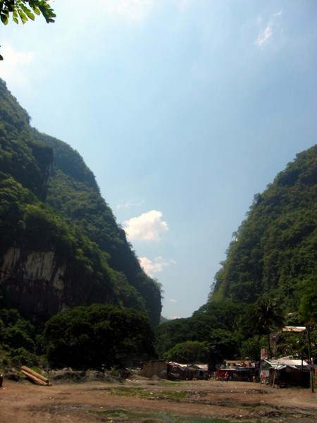
Wawa Dam (also called the Montalban Dam), located at the foothills of the Sierra Madre Mountains, in Brgy. Wawa, supplies water to the Novaliches area in Quezon City. Overlooked by Mt. Irid, its spectacular, forested Wawa Gorge lies between two marble and limestone mountains (of Bernardo Carpio fame) and, through it, passes the Wawa River (or Marikina River) as it flows into Laguna de Bay. On our way to the dam, our group espied one of 4 caves believed to be Japanese strongholds during World War II. A historical marker was said to have been placed at the entrance of one of the caves in memory of the Japanese soldiers who died in the three-month long battle in 1945. Treasure hunters are also said to be attracted by rumors of gold buried in the caves.
Wawa Gorge is also the place to be for the relatively new, adrenaline-pumping and extreme sport of rock climbing. The gorge’s 400-meter high cliffs provide different levels of difficulty for rock climbers. There are ten rock climbing sites with approximately 50 established routes, graded 5.0 to 5.12, all stable, free from vegetation and generally safe from rock falls. Its Redemption Area, perpendicular to a metal footbridge, features “Fun in the Sun” (unrated), “Redemption” (5.10, bolted), “Sacrament” (5.8, bolted), “Sanctuary” (5.6) and “Under the Bridge” (has three short, unrated climbs). The strictly traditional “Sanctuary” is the most popular.
| Trying my hand at rappelling |
We, however, weren’t there for the rock climbing and there was to be no rock-climbing spectacle either on this hot summer day. Lakbay Team Leader Ryan Viado, however, had a special treat in mind for us: the equally adrenaline-pumping sport of rappelling at the gorge’s metal footbridge. Rappelling, is nothing new to me, having tried (and enjoying) it during a past Lakbay tour of Biak-na-Bato National Park in Bulacan. Assisted by Alan Galang and Alexes Erquiza, Ryan soon had our rappelling equipment installed at the bridge. Initially, there were no volunteers willing to try this seemingly once-in-a-lifetime experience. To set a precedent and embolden the others, I took the first crack at it, doing a near-flawless performance. Just like in Biak-na-Bato, rappelling was the piece de resistance for this fruitful and memorable day.


.jpg)