The next day, Good Friday, Jandy and I explored the town’s ancestral houses in detail, bringing along my point and shoot camera and videocam. Sariaya is known for its ornate and imposing American-era mansions built by illustrados (landed gentry) like the Cabunags, Enriquez, Gala, Luna, Obordos, Ramas and Rodriguez clans, all coconut planters who once grew rich from 1919-30 from the once profitable coconut industry. In 1945, the town was set afire by Japanese troops, destroying many of its stately ancestral homes. A big fire also occurred in the 1960s.
 |
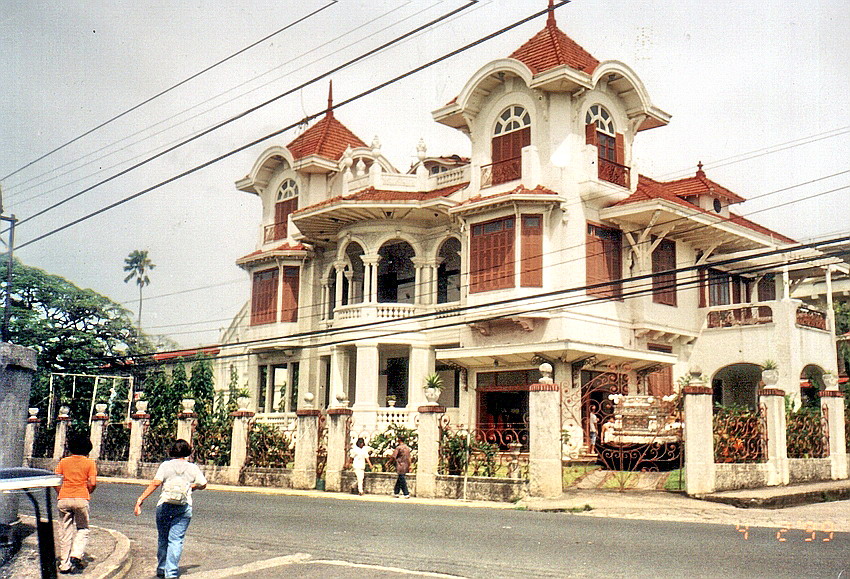
| Dona Margarita Rodriguez Ancestral House |
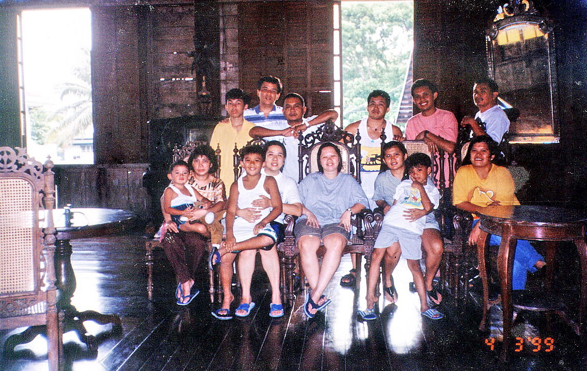
The burnt-out shells of these homes can still be seen around town. Surviving ancestral homes are scattered around the town plaza and along Rizal St., perpendicular to the highway. They create a beautiful and nostalgic setting that reflects the town’s illustrious past. Beside the house we stayed in is the old, and equally stately, ancestral home owned by Jun’s grandmother, the late Dona Margarita Rodriguez, an old maid who died in the 1950s.
 |
| Enriquez Mansion |