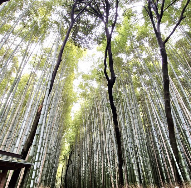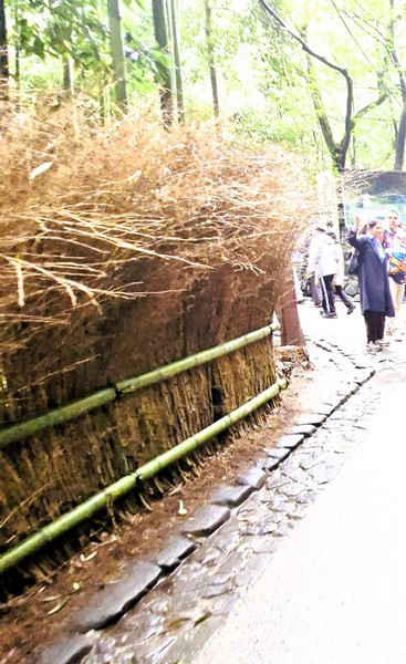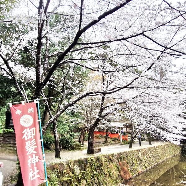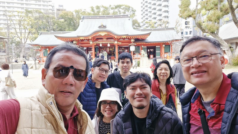
Upon arrival at the Arashiyama Bamboo Forest, a short walk brought us to Nonomiya Shrine (Shrine of the Country), a small Shinto shrine and a quaint stop along the Sagano walking path, surrounded on all sides by the chikurin, Arashiyama’s beautiful and gorgeous bamboo forest, that takes visitors up into the foothills of Arashiyama. Brushwood fencing (koshibagaki) made from spicebush, found along the paths through the bamboo forest, surrounds the shrine, adding a bit of charm to its rustic touch.
Check out “Arashima Bamboo Forest”
Though the precincts, as well as shrine buildings, are small, the shrine has a lengthy history as a purification shrine, in ancient Japan, for unmarried imperial princesses and empresses, called saiō, were appointed, as priestesses, to bring offerings to the gods on behalf of the emperor and, in preparation for their journey to Ise Shrine, Mie Prefecture, would undergo a purification ritual, for a year, at Nonomiya Shrine. To become saiō, the young girls selected averaged between 10 and 13 years of age. However, some could be chosen from as young as 2 years, to as old as 28 years at the oldest. This custom lasted from around the year 673 to 660 (during the reign of Emperor Gagaigo), in which 64 saiō were chosen.
Nonomiya Shrine also appears in Sakaki chapter of the classic 11th century Heian period novel Tale of Genji of Murasaki Shikibu, believed to be the oldest novel in the world, when the princess Lady Rokuyo no Yasusho is selected as a saiō and undergoes purification at Nonomiya Shrine. The parting scene between her and her lover Prince Hikaru Genji, the main character, is also set in the shrine.
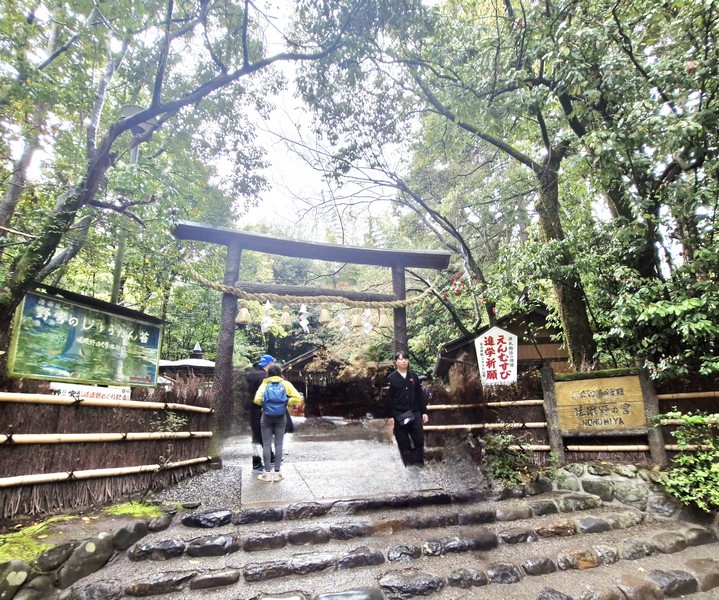
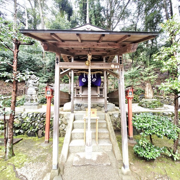
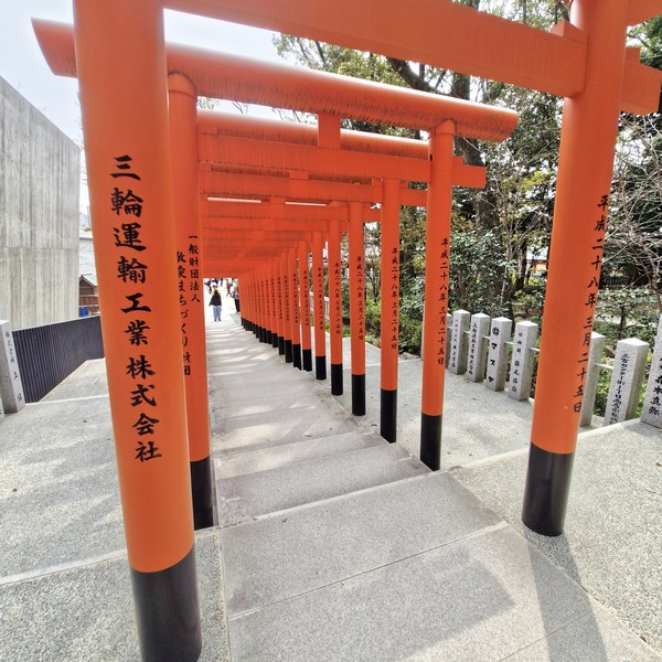
When most people think of torii gates, they would probably imagine the more iconic, bright, lacquered vermilion torii gates but Nonomiya Shrine has a somewhat unusual black torii gate, made to resemble unstripped timber, referred to as kuroki (unbarked sawtooth oak log) once used to build torii all over Japan but a practice that gradually disappeared due to the difficulty of obtaining and preserving the raw timber. Today, this gate is the only kuroki torii left in Japan. This style of gate harkens back to the oldest style of Shinto torii that would have been erected in the past, blending in so perfectly with the surrounding nature, the authentic atmosphere that makes you feel as if you’ve stepped back in time.
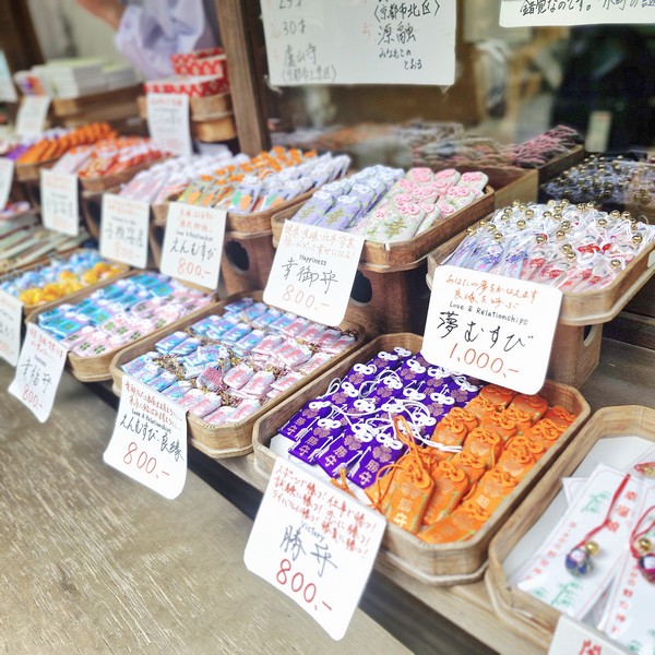
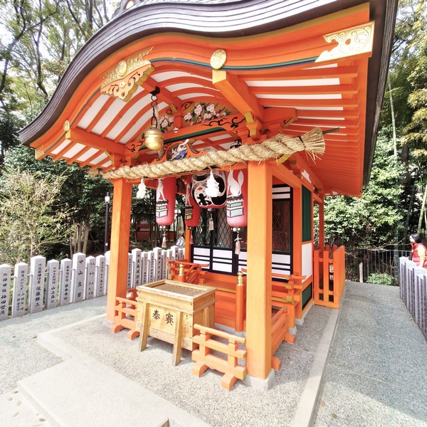
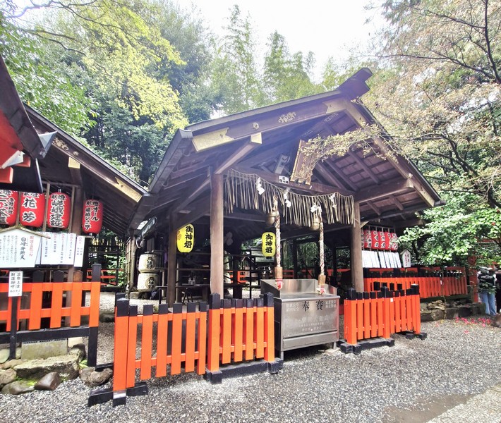
Nonomiya Shrine is comprised of a small main altar as well as several sub-shrines. Many parishioners of Nonomiya Shrine are women who want to find love, wish for children or have a safe childbirth as it has a reputation for helping and interceding on behalf of women. The shrine sells omamori amulets (enmusubi for a good relationship, kosazuke for conception of a child, anzan for an easy birth, etc.), found in various colors and designs, that reflect the theme of women’s happiness, and a variety of amulets are available at the shrine office to the right of the entrance.
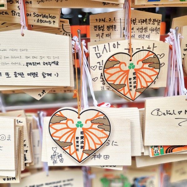
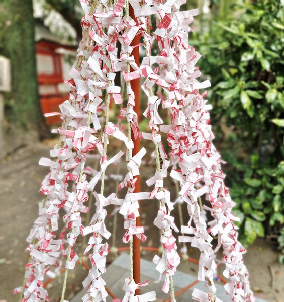
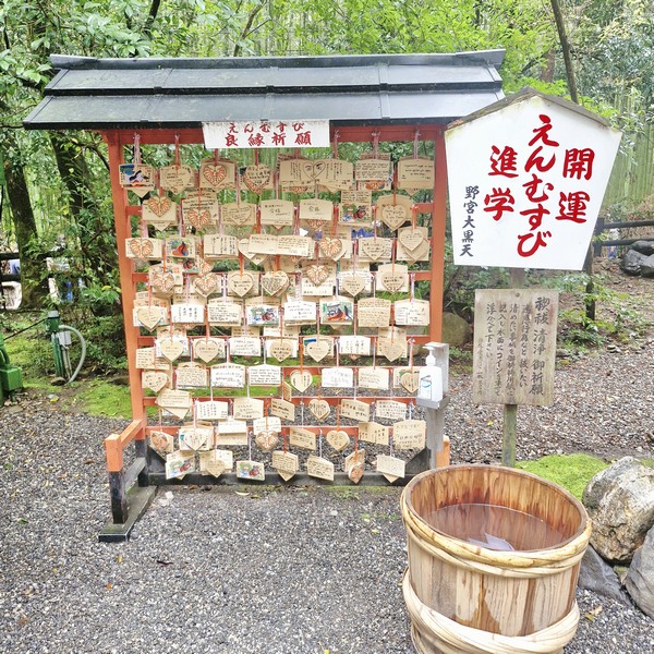
Others buy (for 1,000 yen each) ema (wooden votive tablets) where they can write, on the blank back side, their wish or prayers for a happy romance, before hanging it up on the kakedokoro (place for hanging plaques). They should also write down their name (if they don’t want to write their full name, initials are okay) and the date of their visit. They can also bring the plaque back with them if they want. Another fun thing to do at a shrine is to draw an omikuji (fortune slip) and Nonomiya Shrine has an omikuji box for this. Put a 100 yen coin into the slot at the top, and draw an omikuji slip from the bottom.
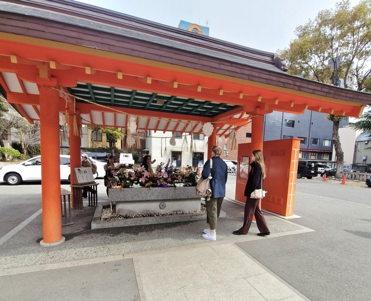
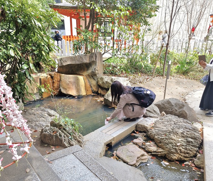
For those with worries on their mind, they can try misogibarai, a ritual where they purifying sin and impurities by releasing them in water. This is done at the place on the left side of the shrine.
Shirafuku Inari Daimyōjin, the deity to pray to bless couples with children, easy labor and safe childbirth, and prosperous business, specifically enshrined in the first shrine you see after going through the vermilion torii, on the right of the entrance.
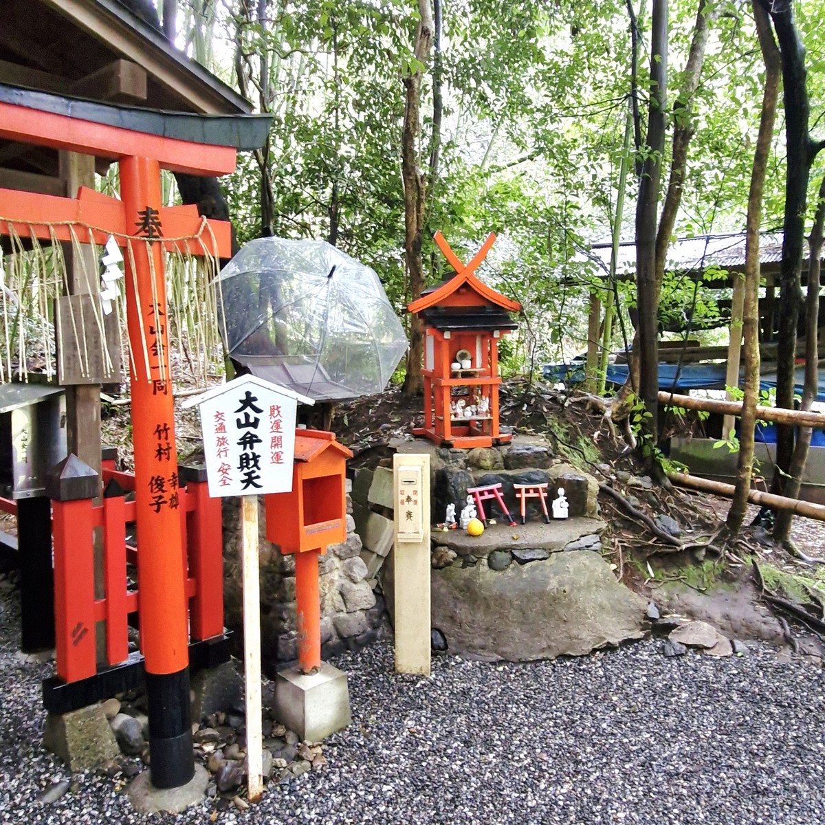
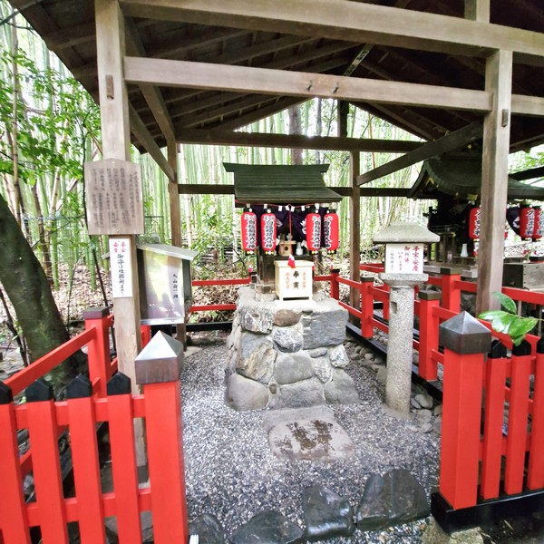
Behind the Shirafuku Inari Daimyojin shrine is yet another shrine, this one dedicated to Oyama Benzaiten, the deity of safe driving. Also enshrined here is Nonomiya Okami (also known as Amaterasu Okami), the deity said to grant health and wisdom.
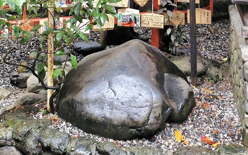
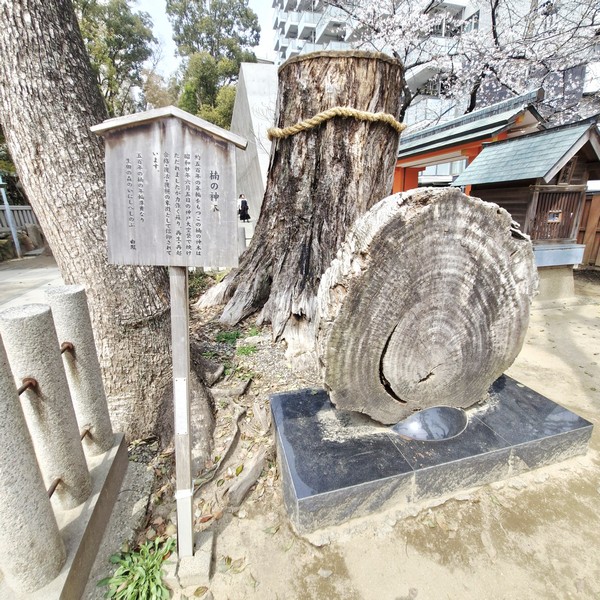
To the left of the main hall is an altar, marked with masks, dedicated to Daikokuten, another lucky god. To the left of the Daikokuten shrine is a large, unique and peculiarly turtle-shaped stone called the Kame Ishi (Turtle Rock), or, alternatively, the Kami Ishi (Divine Rock). Said to enshrine Nonomiya Daikokuten, the god of marriage, it is said that, if you rub or touch this stone, while chanting your wish for a happy marriage or praying over it, your wish will be granted within a year.
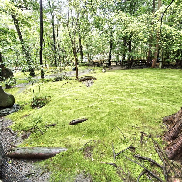
A pleasant and lovely little (66 square meters or 20 tsubo) garden, to the right of the main hall, a place of both simplicity and abundance. It brims with a lush carpet of moss. Said to be the richest and most beautiful in Kyoto, the moss appears even more lively after the rain. A dip, between two small “hills” on the ground, is spanned by a tiny bridge, making it appear as a larger landscape represented in miniature. To the far left is Togetsukyo Bridge, a wooden bridge in the center of the city, that is a symbol of Arashiyama.
Two sub-shrines, alongside the garden, are marked with vermilion torii gates and lanterns. One shrine is dedicated to Atago (a deity associated with a nearby mountain who is believed to deal with matters relating to fire and victory) and the other to Benzaiten (a goddess of luck and the arts) and Inari (a deity associated with business and agricultural success).
Nonomiya Shrine: Saganonomiyacho, Ukyo-ku, Kyoto-shi, Kyoto, 616-8315. Tel: 075-871-1972. Fax: 075-871-0796. Open daily, 9 AM to 5 PM. Admission is free.
How to Get There: The nearest station is Arisugawa Station of Keifuku Dentetsu-Arashiyama Line, a 10-minute walk away.