For many Vietnamese, visiting Fansipan is more than a sightseeing trip, it is a form of modern pilgrimage. The temples of the Sun World Fansipan Legend spiritual complex are a remarkable network of religious structures built to honor Vietnam’s deep-rooted Buddhist traditions, heavily influenced by the Trúc Lâm Zen school of Vietnamese Buddhism, which promotes inner peace through harmony with nature.
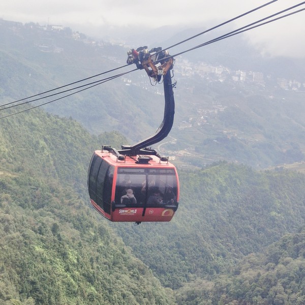
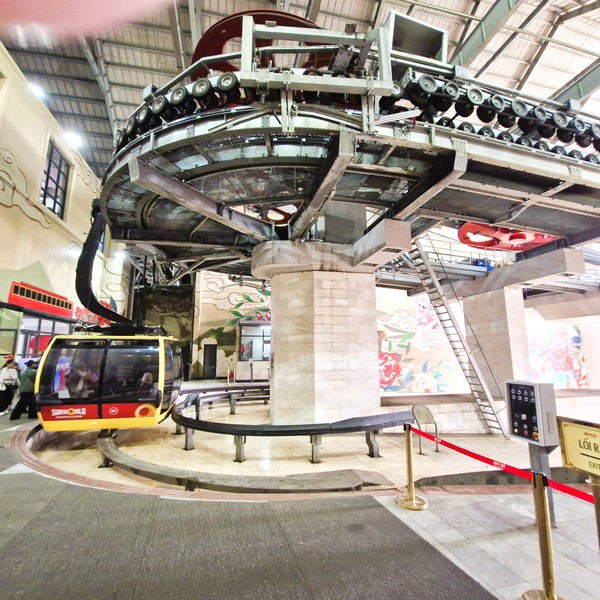
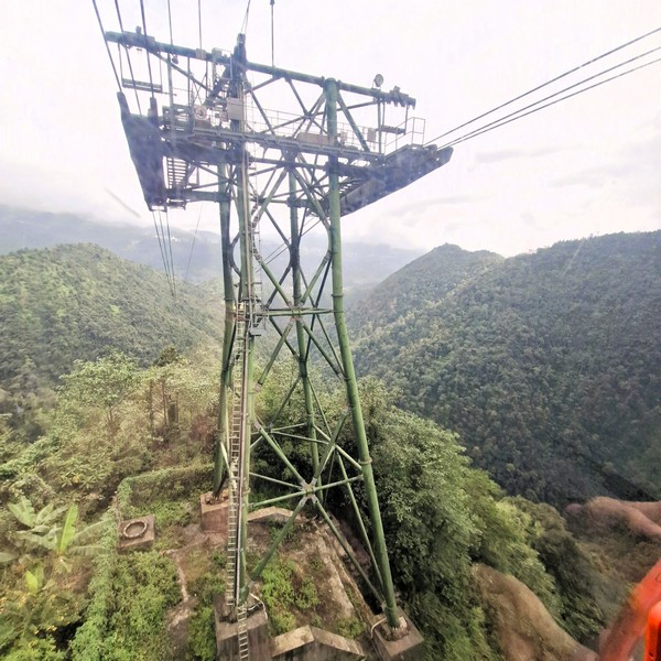
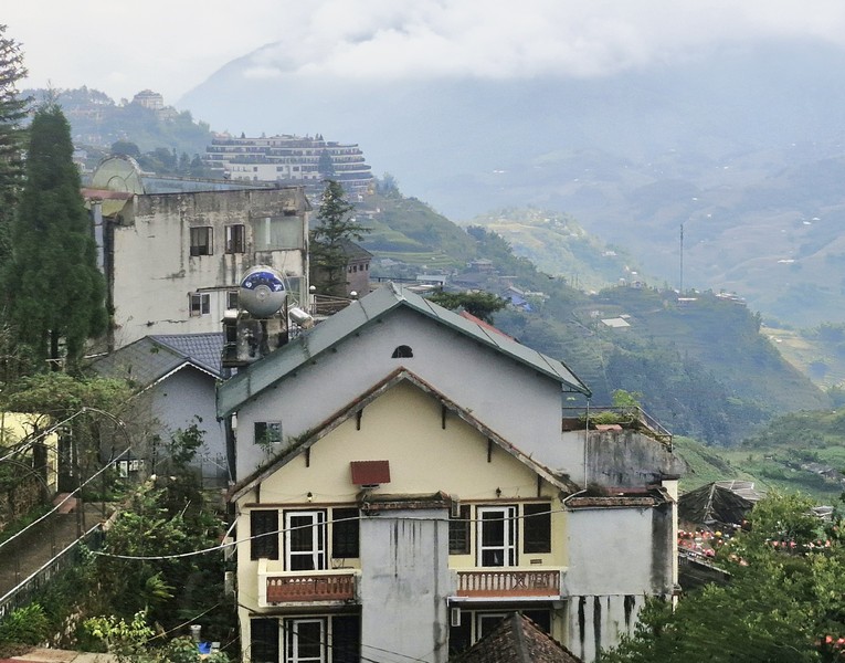
It has transformed Fansipan Mountain, from a rugged trekking destination, into a place of pilgrimage. Reflecting Vietnam’s historical reverence for the natural world as a dwelling place of divine energies, these temples were constructed in the 2010’s with a vision to preserve spiritual heritage while making it accessible to modern visitors via cable car.
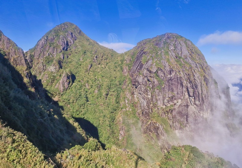
Perched at over 3,000 m. above sea level, building these temples at such high altitudes required careful engineering and respect for the surrounding landscape, minimizing environmental impact while maximizing spiritual resonance. To ensure they reflect sacred geometry and the energy of the mountains, the temples were designed in consultation with Buddhist monks and Feng Shui experts.
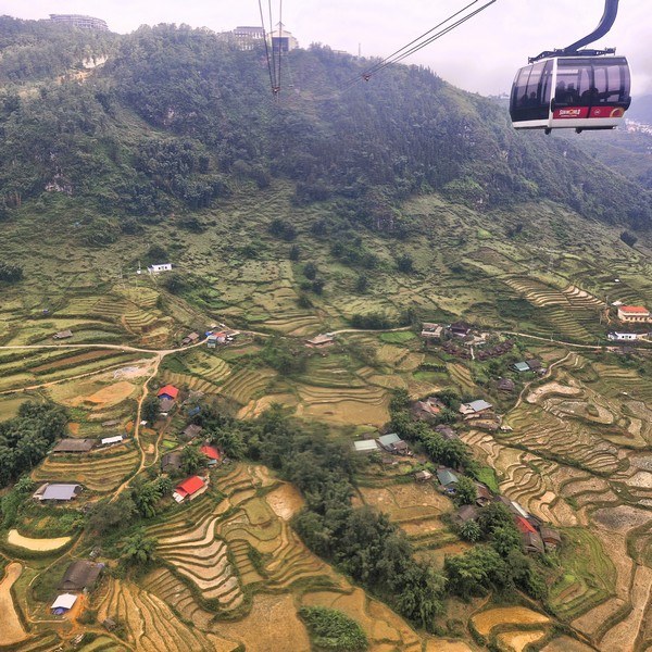
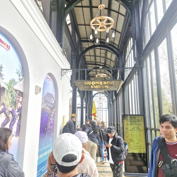
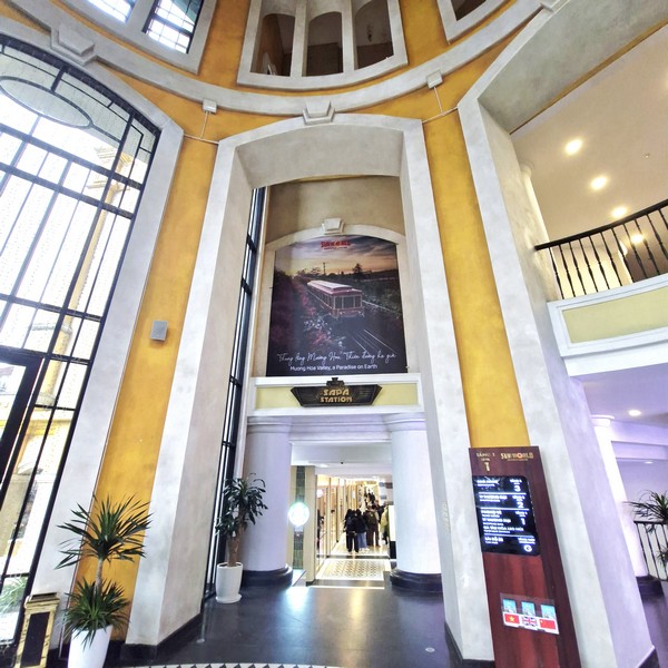
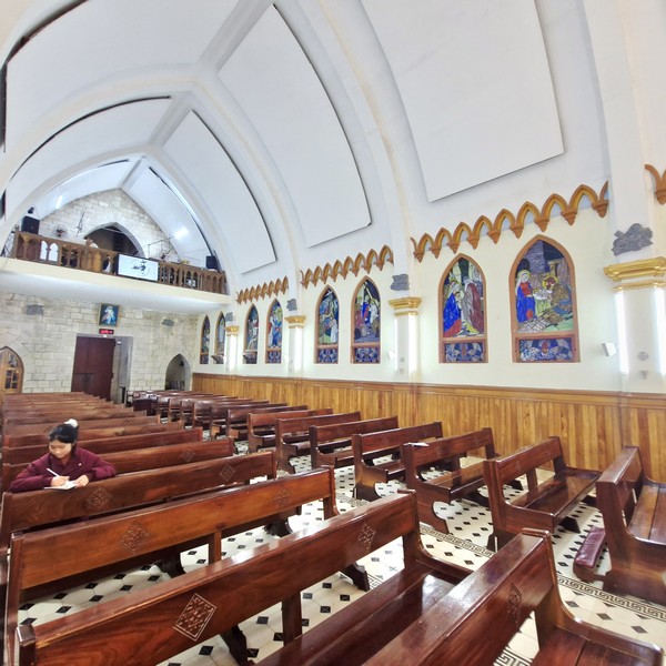
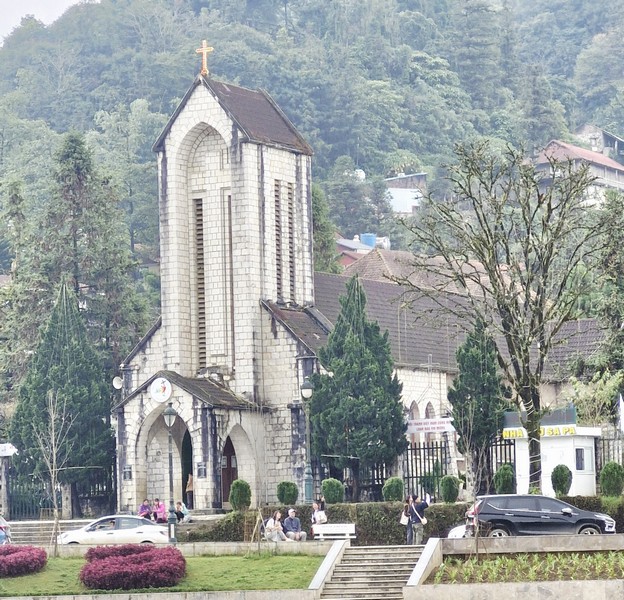
The Fansipan spiritual journey starts at the tranquil Bao An Thien Tu (also known as Trinh Pagoda), located at the base of the Fansipan spiritual complex at an altitude of 1,604 m., near the Muong Hoa Station. Built in traditional Vietnamese style, it offers a peaceful blend of traditional architecture and stunning mountain views. The introductory Buddhist “presentation temple,” it serves as the first stop for pilgrims, arriving via the cable car, to pray for safe travels before ascending to the higher shrines like Bich Van Thien Tu and Kim Son Bao Thang Tu. One of the most peaceful stops on Fansipan, locals and travelers come here to light incense and pray for good health, peace, and safe travels. It also offers stunning views over the misty mountains.
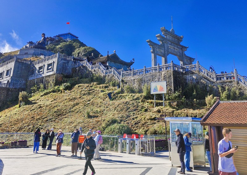
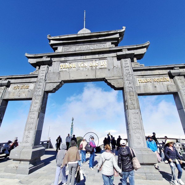
Upon exiting the Fansipan cable car station, one of the first structures we encountered was Thanh Van Dac Lo (often referred to as the “Heavenly Gate Temple”), a stone gate built in the typical ancient architectural style of the Ly Dynasty (10th-13th centuries) with its pillars of monolithic blue stone. It serves as a symbolic threshold between the earthly realm and the spiritual plane. Frequently shrouded in drifting clouds, heightening the sense of transcendence, its name roughly translates to “Clear Clouds Gain the Way,” referring to the Buddhist aspiration of clarity and liberation.
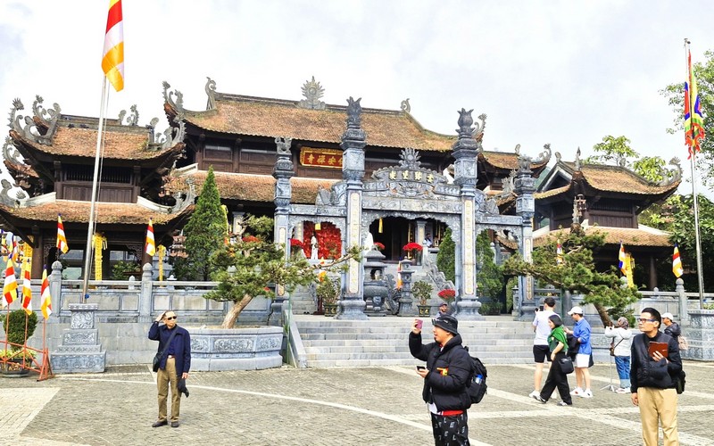
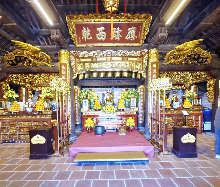
Further out into the complex lies Kim Son Bao Thang Pagoda (Kim Son Bao Thang Tu) which honors the Buddha, Bodhisattva Avalokitesvara (Guanyin) and revered Vietnamese saints. The largest and most significant spiritual complex on Fansipan, it draws pilgrims and tourists alike who want to soak up the sacred atmosphere. The complex, converging the quintessence of Vietnamese wooden pagoda architecture from the 15th and 16th centuries, was built using natural materials such as aged ironwood and hand-carved stone. The antique, intricately tiled roof was restored.
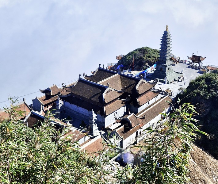
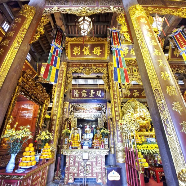
Its interior is adorned with golden statues, incense urns and calligraphic prayer scrolls. Featuring ornate shrines, bronze statues, and stone towers, it feels particularly magical when the clouds roll in, surrounding the pagoda with mist. Aligned according to feng shui principles, the temple believed to channel spiritual energy flowing through the Hoàng Liên Sơn mountain range. The pagoda includes a front hall, the Three Treasures, the ancestral house, and the Three Mandarins.
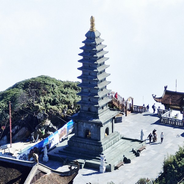
The 11-storey stupa, in the yard in front of Kim Son Bao Thang, is clad with limestone from Central Vietnam. The lotus-shape top of the stupa, cast in copper, was inspired by the famous Pho Minh Stupa (in Nam Dinh Province), with typical Buddhism architecture of Tran Dynasty.
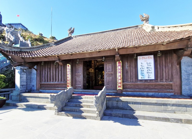
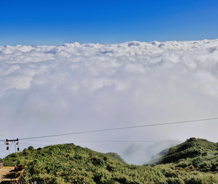
Higher up is the small yet beautiful Bích Vân Thiên Tu (or the Azure Cloud Temple), a temple situated at a midway point on the journey, at an altitude of 3,037 m. above sea level. Nestled among pine trees and frequently enveloped in mist, this smaller temple, despite its remote location, offers perfect balance of cultural immersion and natural scenery and a quieter, more intimate setting for prayer.
Reflecting traditional architectural style of Vietnamese pagoda design influenced by the essences of Tran Dynasty (13th-14th centuries), it was carefully constructed with multi-tiered roofs, dragon finials and, at the entrance, stone guardian lions. From here, one can view the jagged peaks of the surrounding range and, on clear days, even the Yunnan mountains across the border to China.
Many visitors stop here to rest and admire the sweeping mountain views before continuing upward. The pagoda consists of wooden three-compartment and two-bay main hall, together one temple to worship Saint Tran00 Hung Dao and one to worship Three Holy Mothers. At the courtyard, in front of the pagoda, visitors can view the majestic landscape panorama of Hoang Lien mountains and forests.
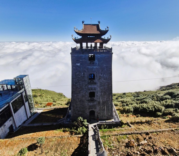
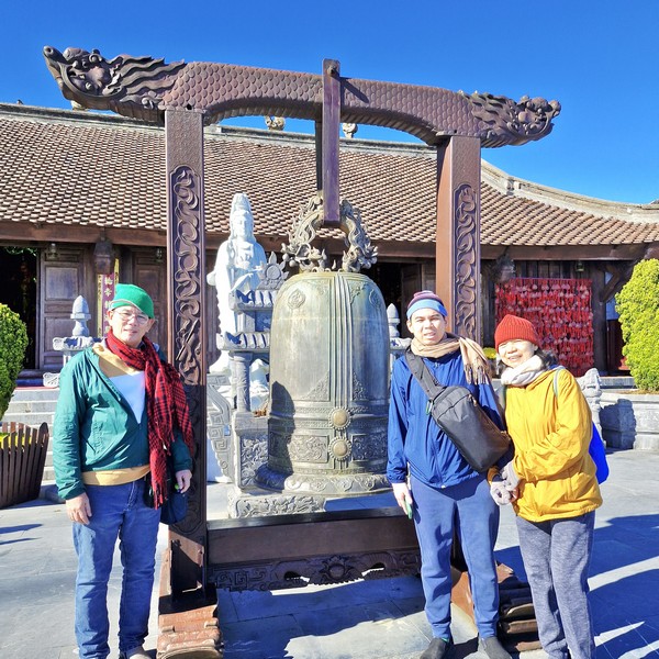
The 32.8 m. high Grand Belfry (Dai Hong Chung, also called Vong Linh Cao Dai), located on the main axis of Bich Van Zen Monastery, comprises 5 storeys, four of which were built with rock, and the upper storey designed after the traditional eight-roof pavilion. Each storey hosts a bronze bell that was cast after the original one in Tran Dynasty.
Along a small path, from Bich Van Zen Monastery, leads to the 21.5 m. high, massive Great Amitabha Buddha statue (Tuong Phat A Di Da), one of the most iconic symbols of the Fansipan complex. Cast from over 60 tons of bronze, this statue, representing the Buddha of Infinite Light and Compassion, is one of the largest seated bronze Buddhas of its kind in Vietnam. Built in 2015, the statue is surrounded by lotus lanterns and its pedestal is decorated with a dragon and flower.
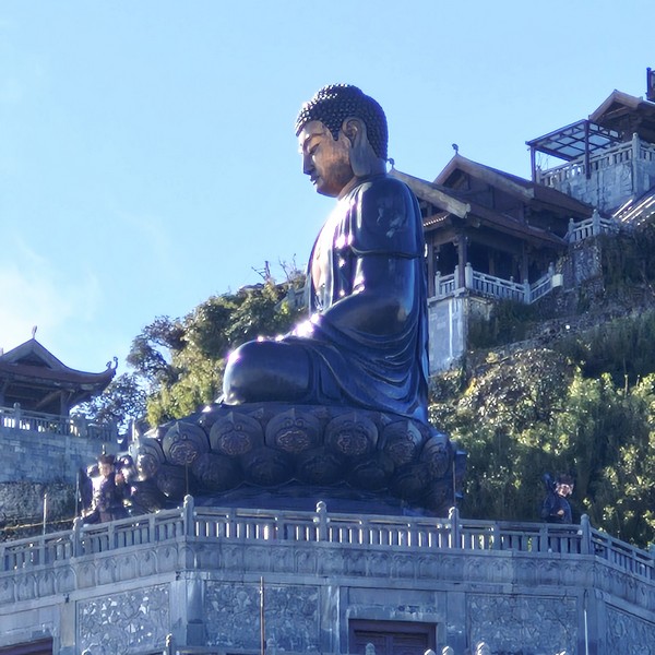
Overlooking the vast Muong Hoa Valley below, it offers visitors a powerful space for contemplation. A breathtaking sight that symbolizes peace and enlightenment, its presence dominates the mountain landscape, often appearing like a silhouette in the clouds.
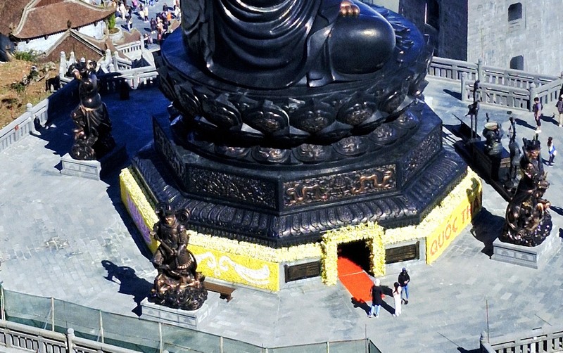
Inside the great Buddha statue is a place where the “Dharma Treasure Buddha’s Relics” are housed. The Buddha relic, enshrined on February 2, 2019, was donated by the Vinh Nghiem Pagoda (in turn, given by Myanmar monks in the past), to pray for the peace for the nation and its people. The Buddha relic is stored in a small bronze tower clock within a 7-storey crystal stupa. Its first floor offers a space to rest and enjoy vegetarian dishes while the second floor arranges space to display images of Buddha. At the foot of the Great Buddha Statue is the 9-storey, 30 m. high waterfall with 150 stone steps on both sides. Inside is a pillar of Buddhist scriptures.
Another striking feature of the complex is the 800 m. long Arhat Road (Con Đuong La Hán), a stone path, along the mountain side leading to Kim Son Bao Thang Pagoda, lined with rhododendrons, ancient, century-old azalea trees (that still bloom from the end of December to June each year) and 18 2.5 m. high, lifelike bronze statues of Arhats or enlightened disciples of the Buddha. Each figure, weighing up to 500 – 600 kgs., is carved with distinct facial expressions and poses, representing various virtues such as wisdom, patience and determination. This path symbolizes the spiritual journey toward enlightenment and physically guides pilgrims up toward the final ascent to the Fansipan summit marker.
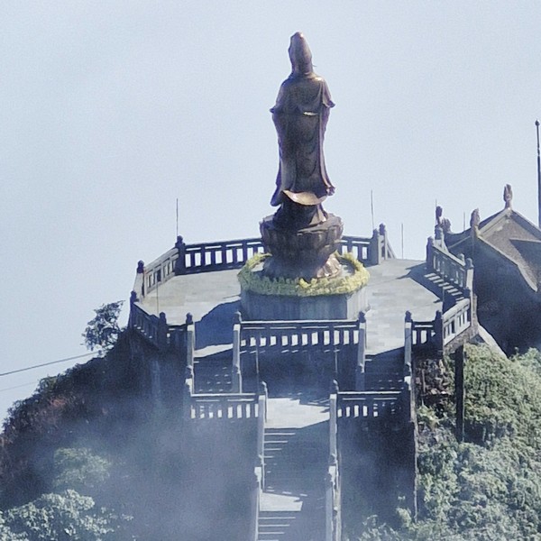
The prominent, 12 m. high Guan Yin Statue (Tuong Quan Am), the elegant bronze statue of the Goddess of Mercy in front of the Kim Son Bao Thang Pagoda, weighs 18 tons, and sits gracefully on the mountainside. With eyes facing east, the statue holds a willow branch, on her right hand, and a sacred vase of orange trees, on her left hand, that symbolize benevolence and kindness. All represent the great compassion of suffering and saving suffering and saving sentient beings. Here, visiting pilgrims pray for compassion and blessings. Against the dramatic backdrop of Fansipan, it’s one of the most photogenic spots on the mountain and travelers are drawn to its serene beauty.
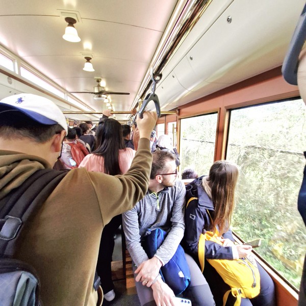
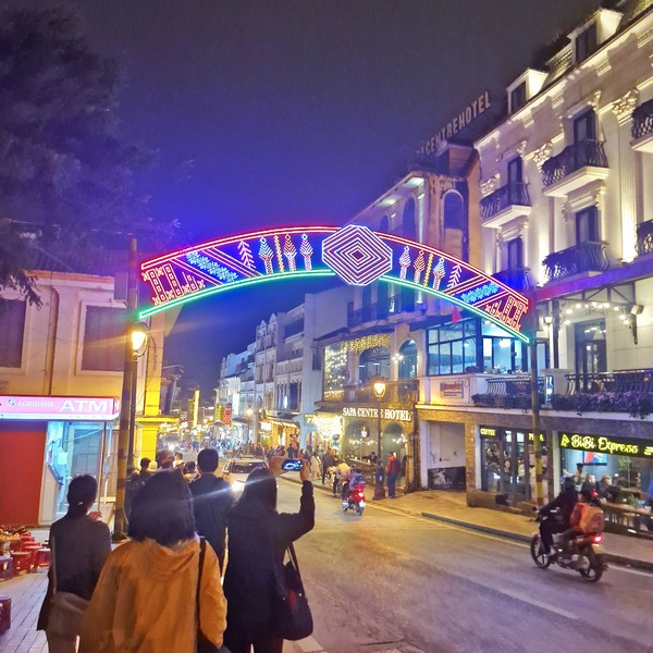
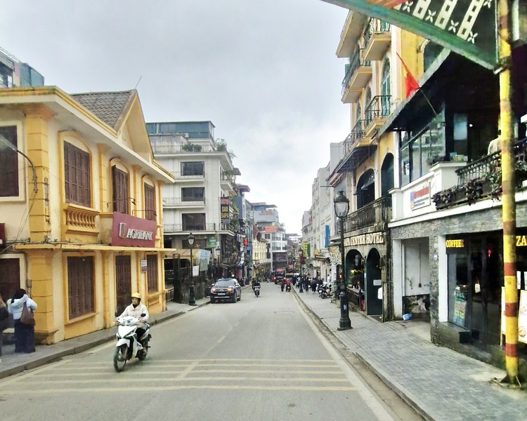
How to Get There: By car, the 332-km. distance between Hanoi and Sapa take only 4 hours. Sleeper buses, suitable for budget travelers, has a longer transfer time than a car, about 5 hours. The convenient and easy trains, a popular choice as this vehicle allows passengers to enjoy the countryside’s scenery along the way, have the longest transfer time of 8 hours.