This church was first built by in 1770 but was destroyed by fire in 1814. The present structure was started by Fr. Manuel Busqueto from 1837 to 1849 and continued by Fr.Jose Tornos from 1849 to 1878. Fr.Victorino Vereciano renovated the roof and the floor from 1879 to 1893.
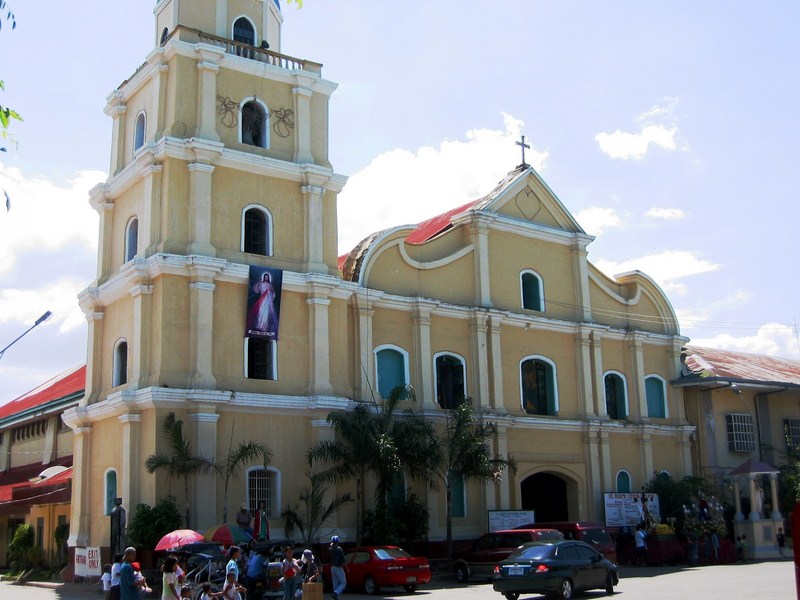
Cathedral of St. Joseph
The church has a plain and simple, three-level Baroque facade. The third level has a wing-like, undulating wall concealing the aisle roof. It also has segmented arch main entrance with similar segmented arch windows at the second and third level.
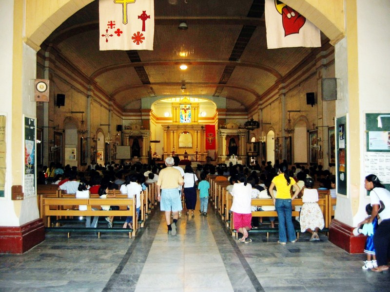
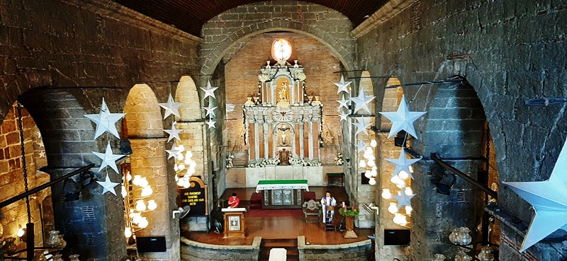
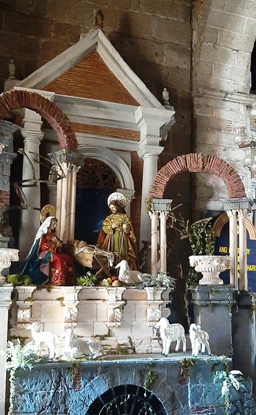
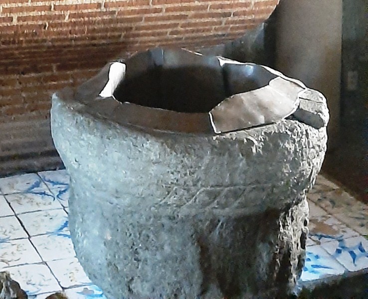
The cathedral interior
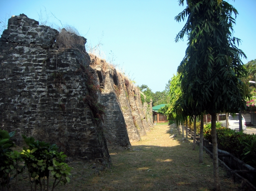
How to Get There: Alaminos City is located 334 kms. from Manila and 42.5 kms. northwest of Lingayen.