
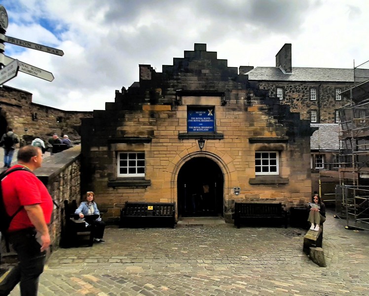
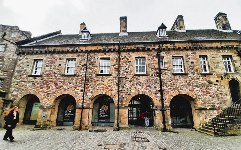
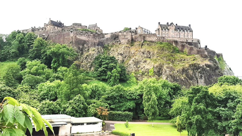
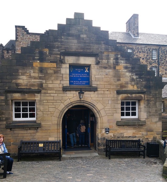
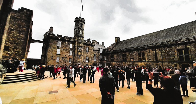
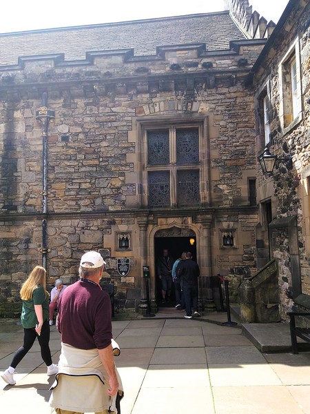
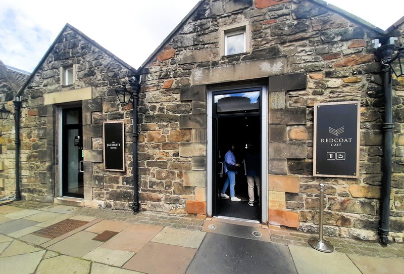
Museum of the Royal Scots (Royal Regiment) and the Royal Regiment of Scotland
The small but very well laid-out and informative Museum of the Royal Scots (The Royal Regiment) and the Royal Regiment of Scotland, an independent regimental museum within Edinburgh Castle, displays the collections of the Royal Scots (raised in 1633 to help King Charles II to fight the Covenanters, a 17th century group of religious dissenters) and the Royal Regiment of Scotland. Both are currently co-located in the Royal Scots drill hall built in 1900.
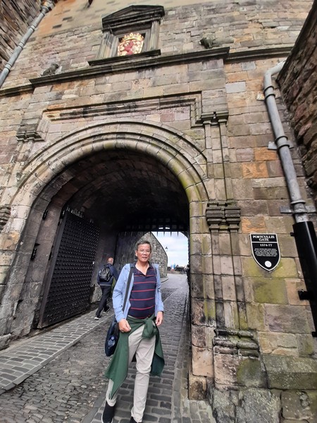
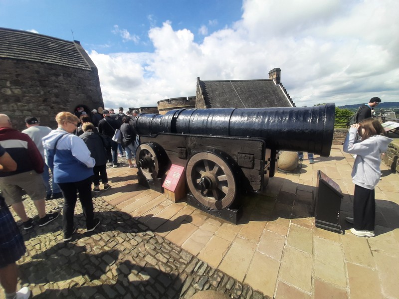
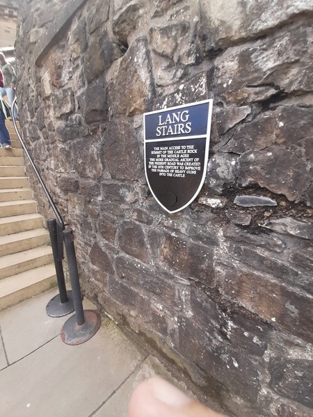
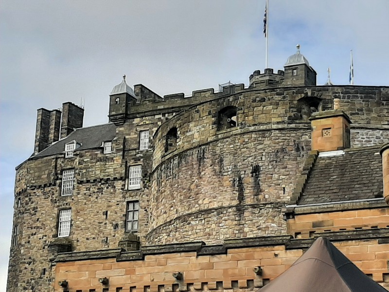
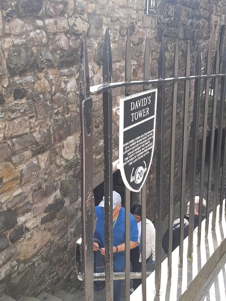
Check out “Edinburgh Castle”
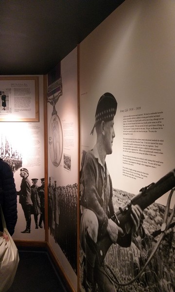
Army Life 1918-1939
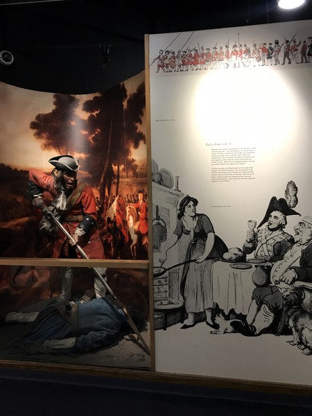
Early Army Life
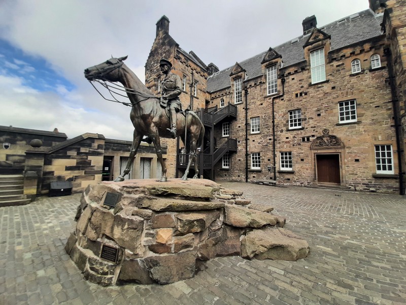
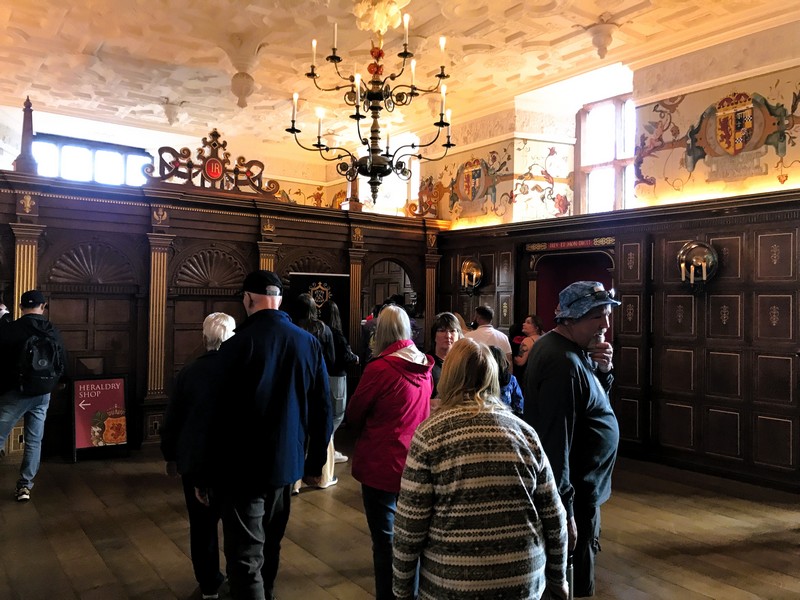
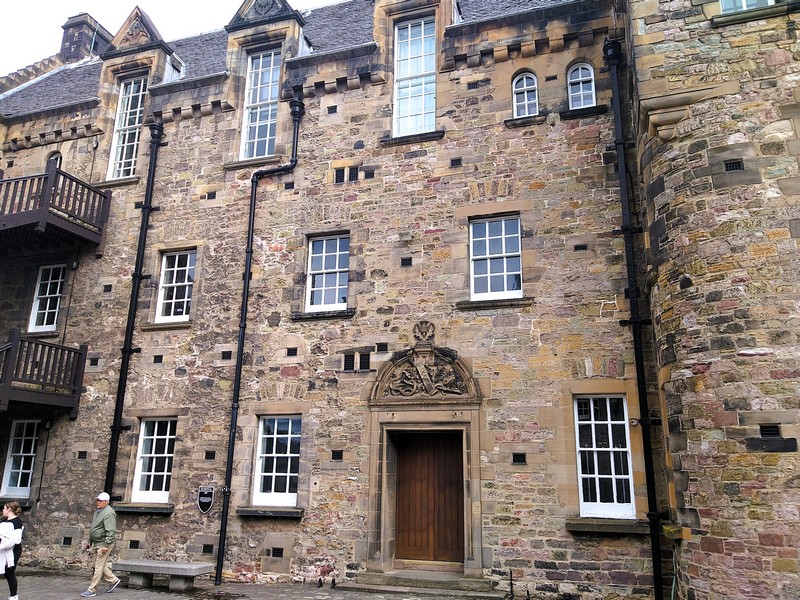
On June 27, 1991, following refurbishment, the building was re-opened as the Royal Scots Museum by the Princess Royal. Since it was formed in 2006, the Royal Regiment of Scotland has been building its own collection and, on May 29, 2014, the Museum of the Royal Regiment of Scotland was opened.
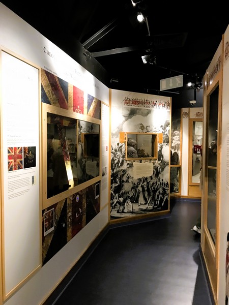
The Colonies and Empire
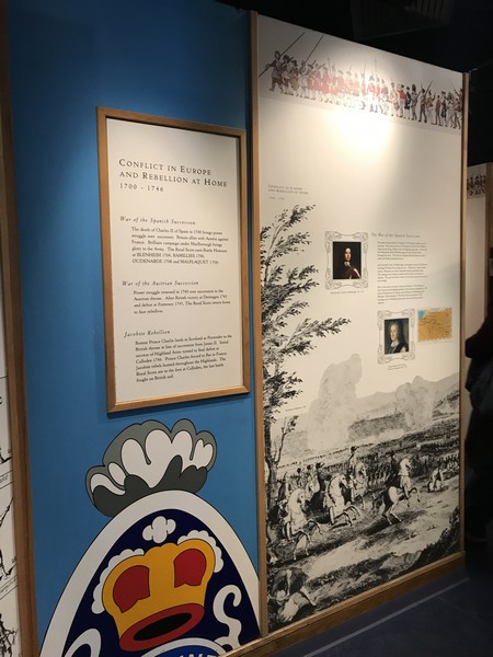
Conflict in Europe and Rebellion at Home
Turmoil in Britain
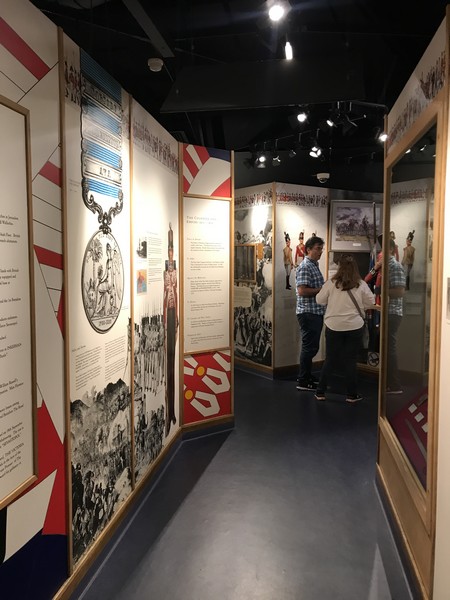
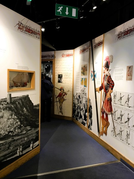
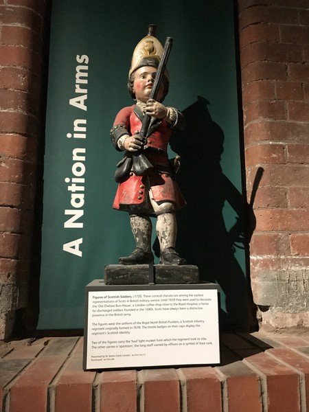
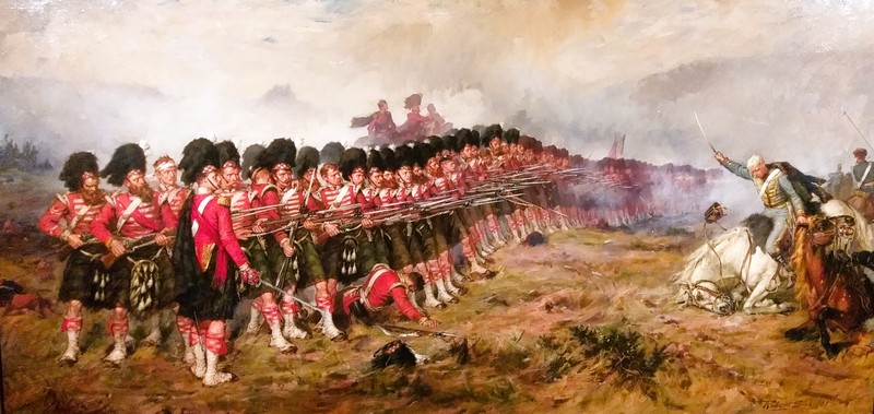
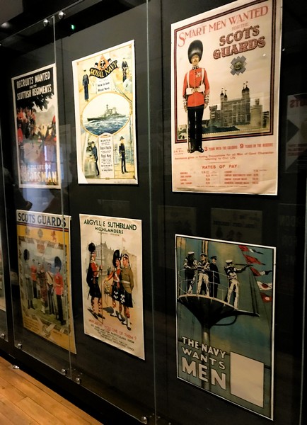
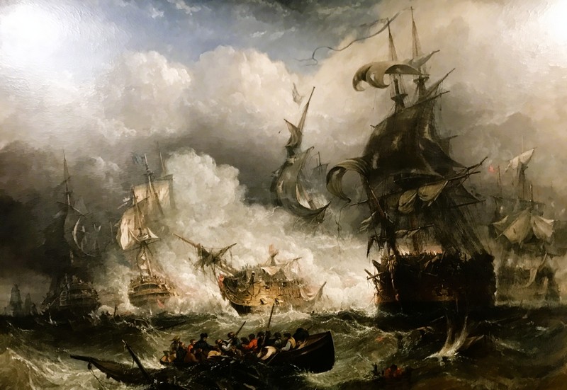
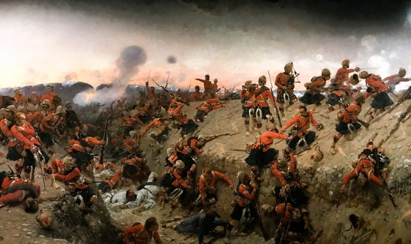
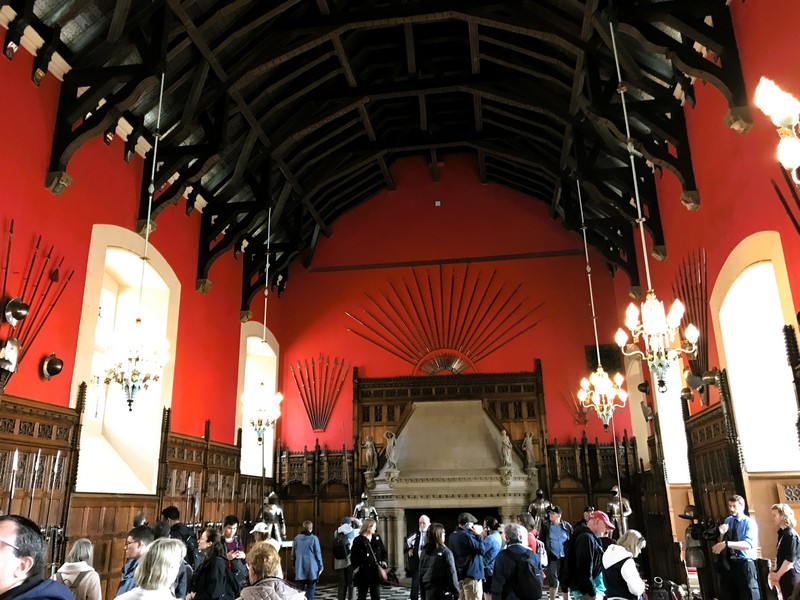
A series of pictorial wall panels, together with dioramas, tableaus, display cases and other exhibits, illustrates the history of the Royal Scots and its successor regiment, the Royal Regiment of Scotland, in chronological order, from the founding of the Royal Scots, by Sir John Hepburn, to its role in various conflicts (including recent campaigns in Iraq and Afghanistan) and peacetime.
The Revolutionary War
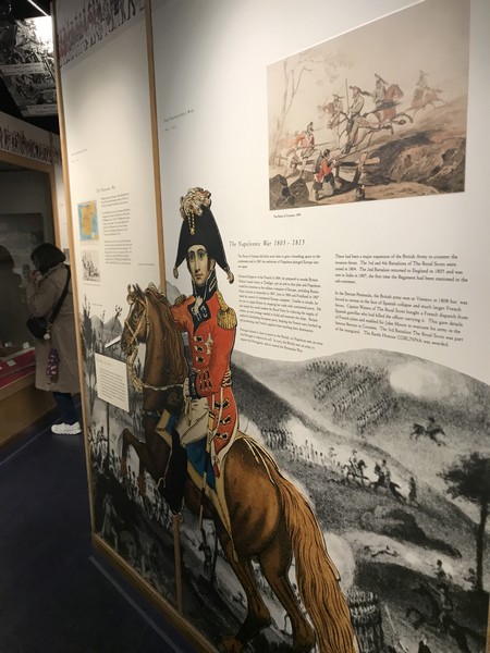
The Napoleonic War
The Hundred Days
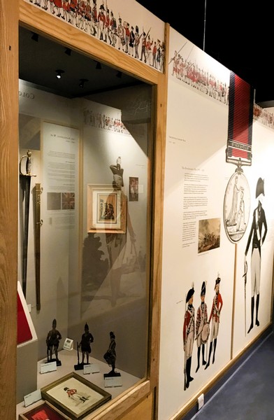
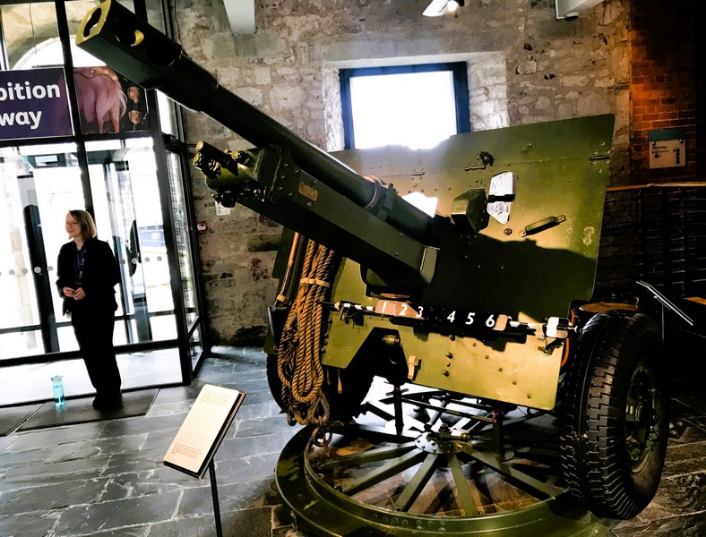
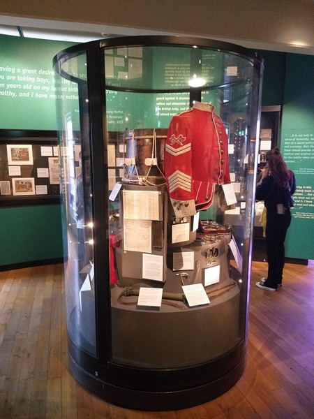
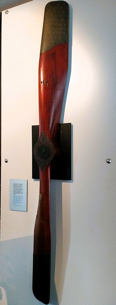
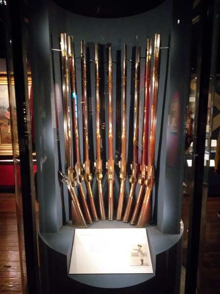
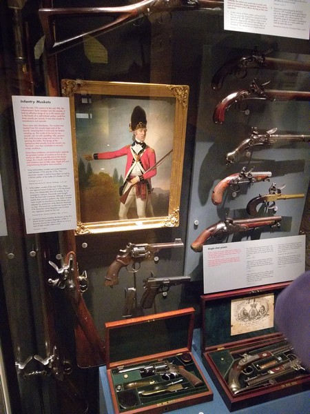
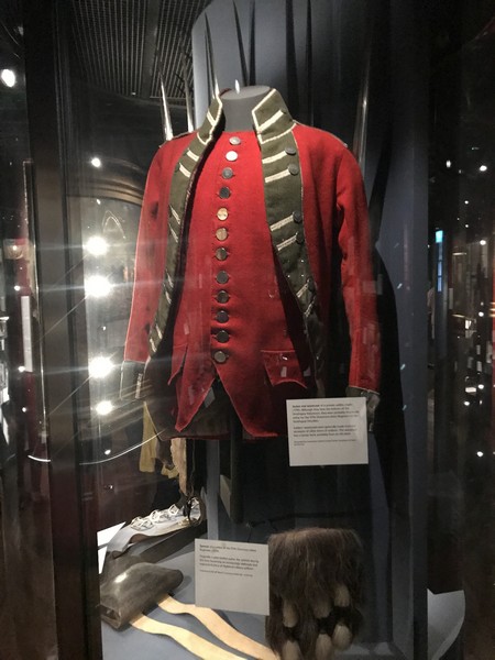
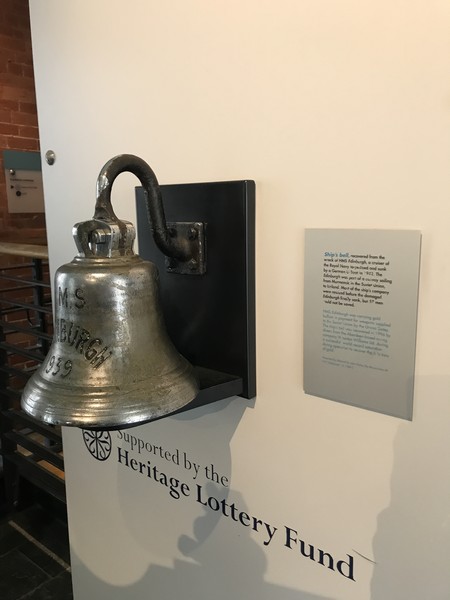
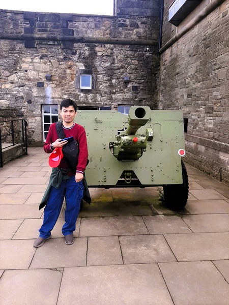
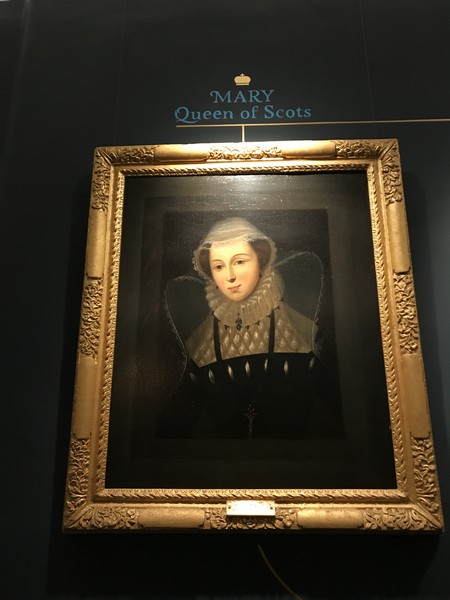
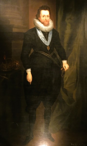
Its nearly 1,000-piece collection includes uniforms, insignias, paintings, artefacts, a collection of silver, a variety of weapons (including Highland broadswords), letters home from foreign campaigns, sets of drums, chemical warfare suits, old colors, maps, medals and documents.
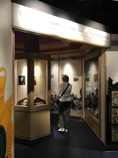
The Great War
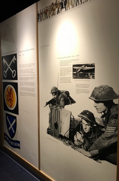
The Second World War
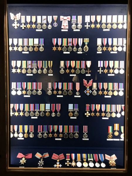
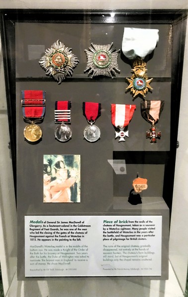
The Honors and Awards display has an extensive medal collection including seven Victoria Crosses awarded to members of the Royal Scots. Only a small proportion of the medal collection is on display. The rest are in drawers which can be opened on request.
Honors and Awards
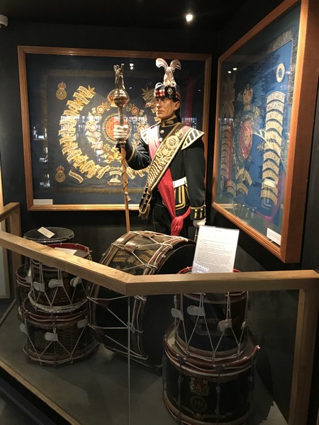
Drums
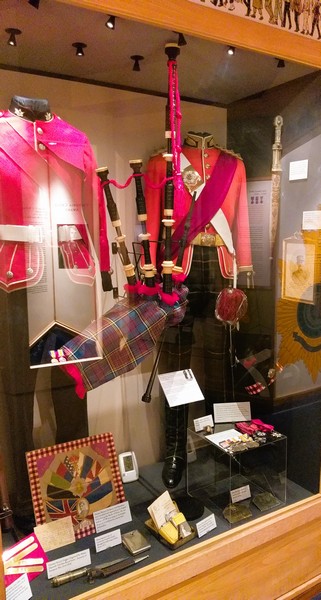
Uniforms
Museum of the Royal Scots (The Royal Regiment) and the Royal Regiment of Scotland: Edinburgh Castle, Edinburgh, EH1 2YT Scotland. Open daily, 9:30 AM to 4:45 PM (3:45 PM in winter). Admission is included in the entry fee to the castle. Tel: +44 (131) 3105014. Website:
www.theroyalscots.co.uk/museum/. Coordinates: 55.94913°N 3.20014°W.
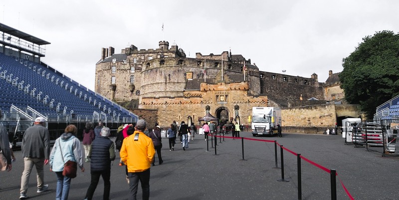
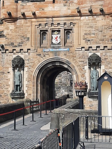
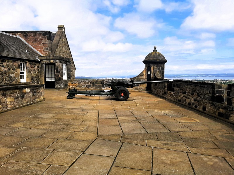
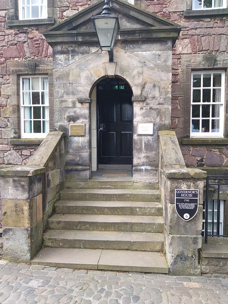
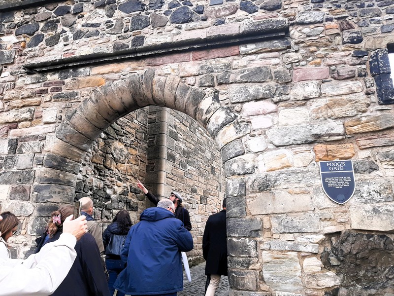
How to Get There: The Royal Scots Museum is located at the top of the hill, just before Fogg’s Gate, while the Royal Regiment of Scotland Museum is directly opposite.


.jpg)
.jpg)