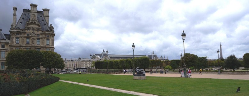
Kapitelplatz (Chapter Square)
On our way to Hohensalzburg Fortress, we passed by the small but beautiful Kapitelplatz (Chapter Square). This square, a place of concentrated activity in Salzburg’s old town, is bordered by Salzburg Cathedral, on the south, by the Cathedral Provostry (Dompropstei) and Archiepiscopal Palace in the east, the Novice’s Wing of St. Peter’s Abbey in the west and the Cathedral Chapter’s mills.
Check out “Salzburg Cathedral” and “Hohensalzburg Fortress“
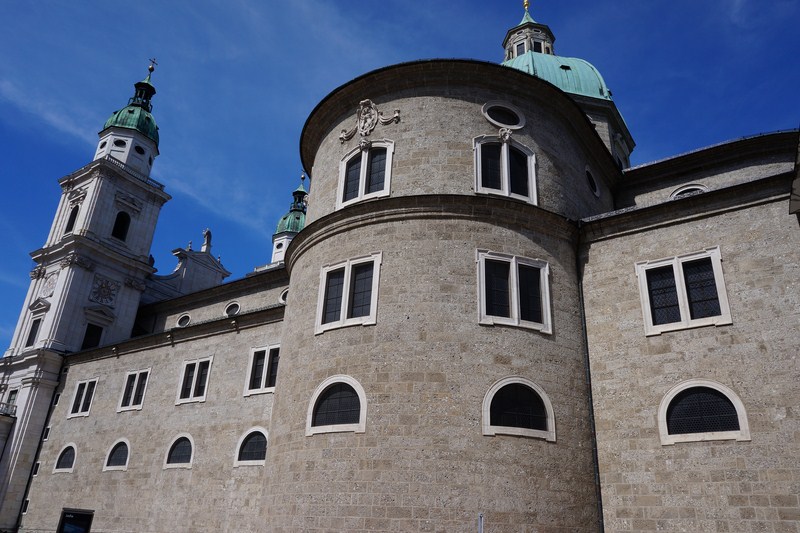
The cathedral as seen from the square
The Cathedral district was comprised of austere, sovereign residences lined up on Kapitelgasse, Kaigasse and Chiemseegasse and Chapter Square was once the site of the Cathedral Abbey. Until the archbishopric was dissolved in 1803, the high clergy once resided on the square and in the palaces in the adjacent streets. Dominated by the cathedral canon, this area was defined by majestic and imposing residences lined up along Kapitelgasse, Kaigasse and Chiemseegasse.
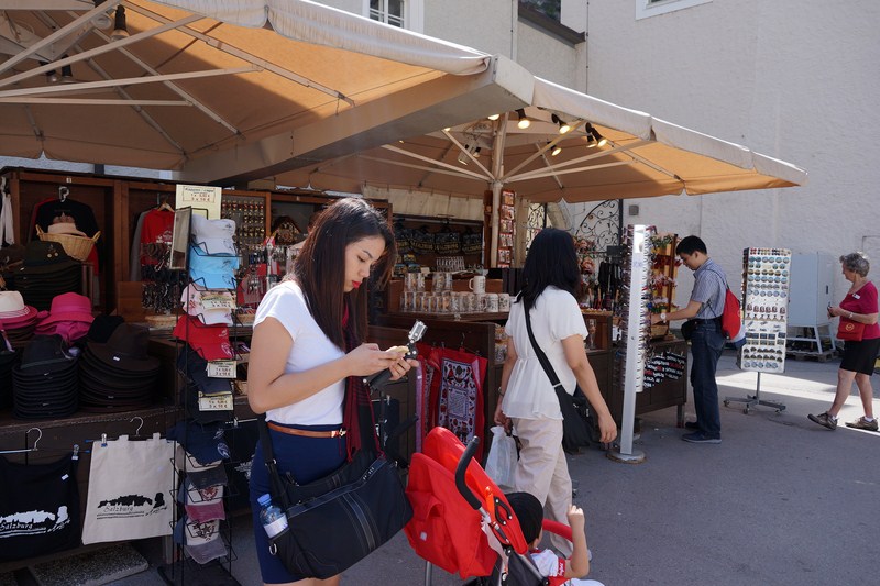
Cheska, Kyle, Grace and Jandy browsing at one of the souvenir stalls inside the square
The constant water supply of the canal for the millstones of St. Peter and the Cathedral, diverted through Mönchsberg to the Kapitelplatz, still supplies water to St. Peter Bakery and the Chapter Fountain (which dates from the 17th century) on the square.
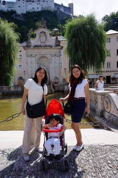
Grace, Kyle and Cheska with the Chapter Fountain in the background
Slightly secluded from the spacious square, the fountain (or horse flood) was modeled on Roman fountains and built under Archbishop Leopold Freihher von Firmian in 1732 to plans by Franz Anton Danreiter. The winged horse ( Pegasus ) which once stood there is now in the Mirabell Gardens.
Check out “Mirabell Palace and Gardens”
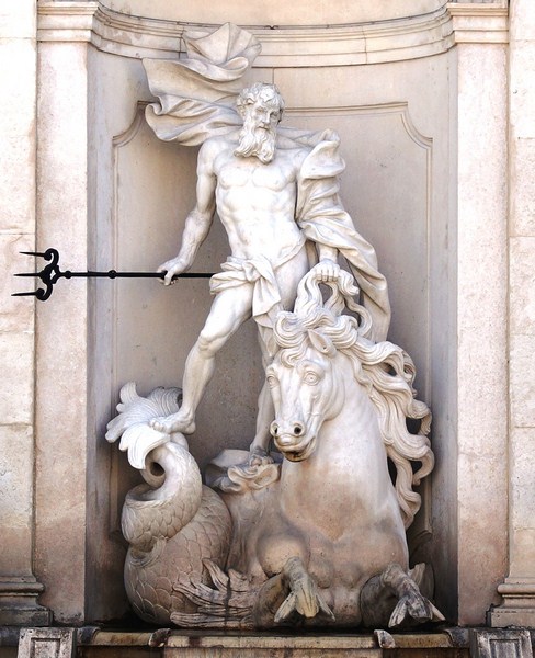
Te statue of Neptune
Framed by a marble balustrade, it has a niche architecture built in front of the fountain house. The ramp, used by the horses to access the water, leads straight up to the monumental figure of Neptune (God of the Sea), in a high arched niche carried by double pilasters, holding a trident and crown as well as the mane of the horse with one hand and mounted on a seahorse with a fishtail and with water leaping from its nostrils.
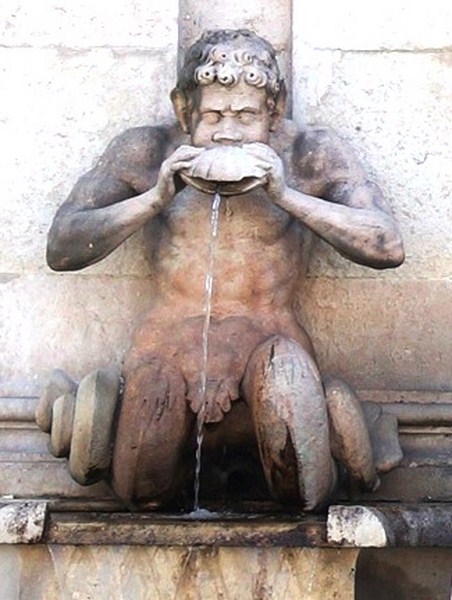
The tritones on the left
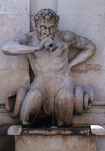
The tritones on the right
The two water-spitting and much older (made in 1691) Tritones came to their present place only later. The water flows in a wide band, under the seahorse, into the lower-lying pool. The Baroque figure, one of the most stylish in Salzburg, was sculpted by Josef Anton Pfaffinger. Above the display bell is a vase decorated with putti with a chronogram (” LeopoLDVs prInCeps Me eXtrVXIt “) with Archbishop Firmian’s coat of arms found above the niche.
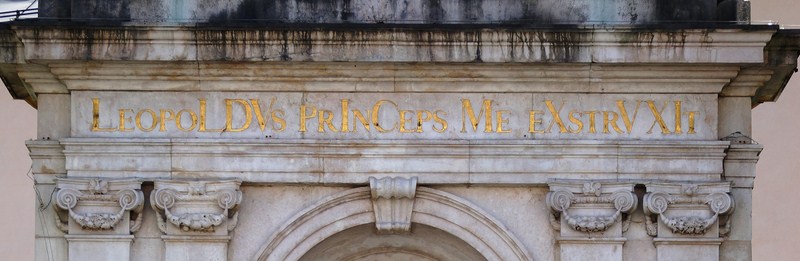
The chronogram above the niche
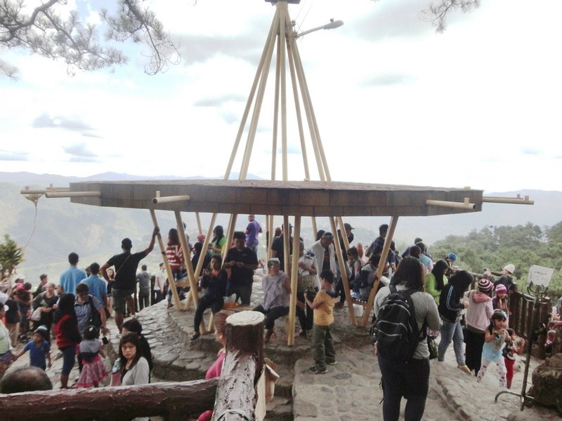
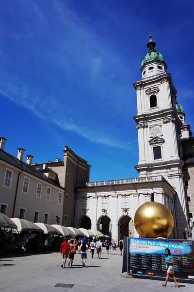
Filling the square with life are a number of giant communal chess-boards (where people play a game of chess with oversized chess pieces), plenty of colorful souvenir stalls and the “Sphaera,” a work of art by German artist Stephan Balkenhol.
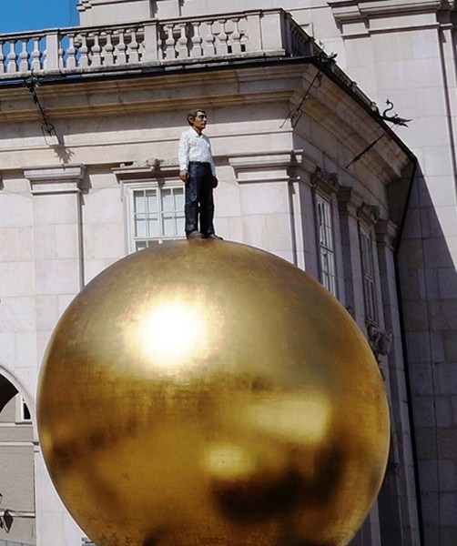
The Sphaera, designed by German artist Stefan Balkenhol, is part of the “Salzburg art project.” Standing about 9 m. high (including the pedestal), this work of art is better known under the slang term “Balkenhol-Mozartkugel.” This abstract, gold-plated, two-ton ball, with a diameter of 5 m., is made of glass fiber reinforced plastic and lies on a wrought iron frame with a weight of 3.5 tons. On top is a 300 kg., bronze male figure dressed in white shirt and black trousers and emanating a neutral expression.
Kapitelplatz: Salzburg 5020, Austria